Badger Wood
Wood, Forest in Yorkshire Ryedale
England
Badger Wood
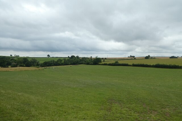
Badger Wood, located in Yorkshire, is a picturesque woodland area renowned for its natural beauty and biodiversity. This enchanting forest is nestled within the charming countryside, offering a tranquil escape from the bustling city life.
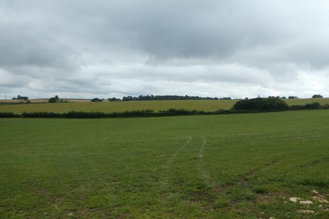
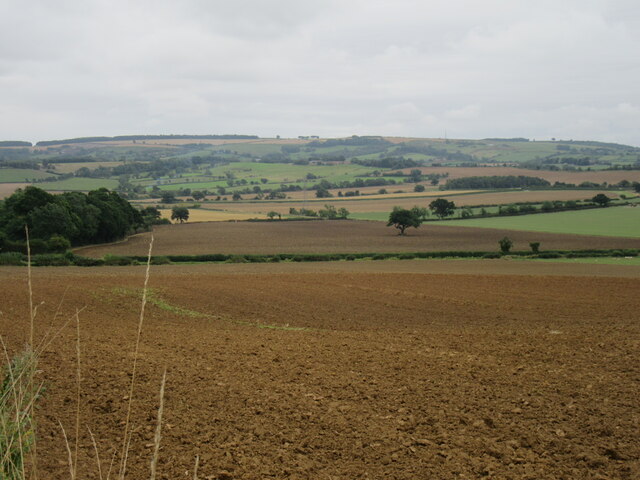
Covering an area of approximately 100 acres, Badger Wood is characterized by its dense canopy of ancient trees, predominantly oak and beech, that create a serene and shady atmosphere. The forest floor is carpeted with a vibrant assortment of wildflowers, including bluebells, primroses, and wood anemones, adding a burst of color to the landscape during springtime.
The wood is intersected by several well-maintained walking trails, allowing visitors to explore the area at their leisure. These paths wind through the towering trees and lead to hidden gems such as a babbling brook, a small pond, and even a captivating waterfall, providing plenty of opportunities for nature enthusiasts and photographers alike.
Badger Wood is also home to a diverse range of wildlife. The forest provides a habitat for various bird species, including woodpeckers, owls, and thrushes, making it a popular spot for birdwatching. Additionally, the wood is inhabited by mammals such as badgers, foxes, and deer, adding to the allure of the area for wildlife enthusiasts.
Given its natural beauty and abundant wildlife, Badger Wood attracts visitors throughout the year. Whether one seeks a peaceful walk, a chance to observe wildlife, or simply a moment of solitude amidst nature, this woodland sanctuary offers an idyllic retreat for all who venture into its embrace.
If you have any feedback on the listing, please let us know in the comments section below.
Badger Wood Images
Images are sourced within 2km of 54.078473/-0.86038569 or Grid Reference SE7465. Thanks to Geograph Open Source API. All images are credited.


Badger Wood is located at Grid Ref: SE7465 (Lat: 54.078473, Lng: -0.86038569)
Division: East Riding
Administrative County: North Yorkshire
District: Ryedale
Police Authority: North Yorkshire
What 3 Words
///recapture.helping.fizzled. Near Malton, North Yorkshire
Nearby Locations
Related Wikis

Westow
Westow is a village and civil parish in North Yorkshire, England. Westow is situated in the lee of Spy Hill, bordering the Howardian Hills Area of Outstanding...

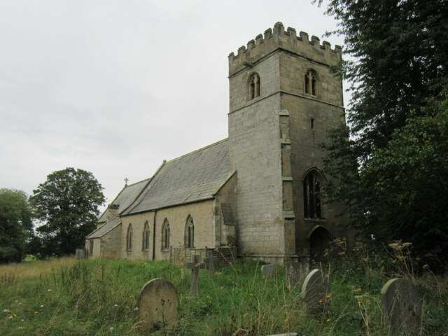
Kirkham, North Yorkshire
Kirkham is a village in the civil parish of Westow, in North Yorkshire, England, close to Malton, situated in the Howardian Hills alongside the River Derwent...

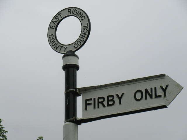
Firby, Ryedale
Firby is a village in the civil parish of Westow, in North Yorkshire, England, 4 miles (6 km) south west of Malton. Firby was historically a township in...
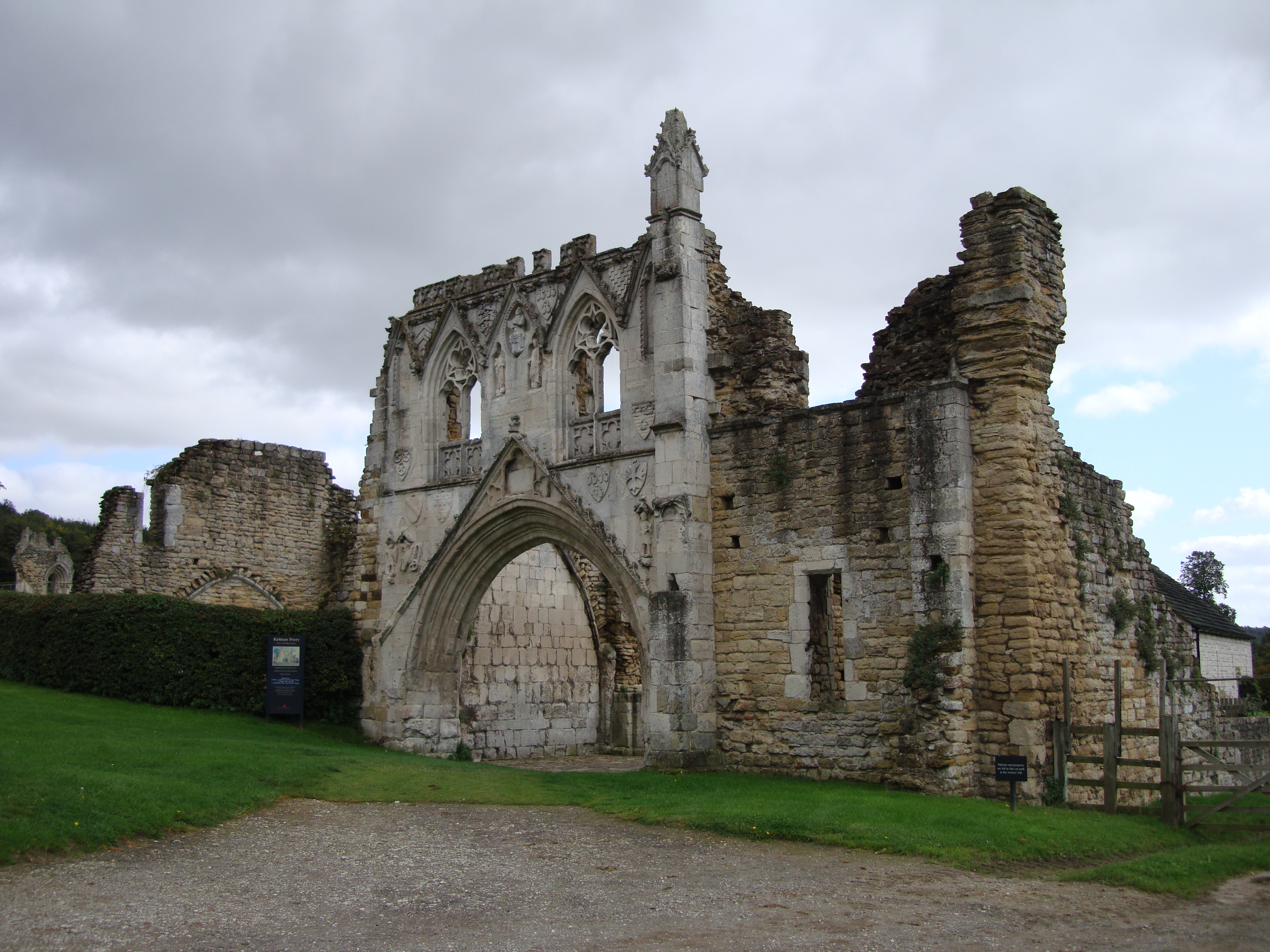
Kirkham Priory
The ruins of Kirkham Priory are situated on the banks of the River Derwent, at Kirkham, North Yorkshire, England. The Augustinian priory was founded in...

Crambe, North Yorkshire
Crambe is a village and civil parish in the Ryedale district of North Yorkshire, England. It is near the River Derwent and 6 miles (10 km) south-west of...
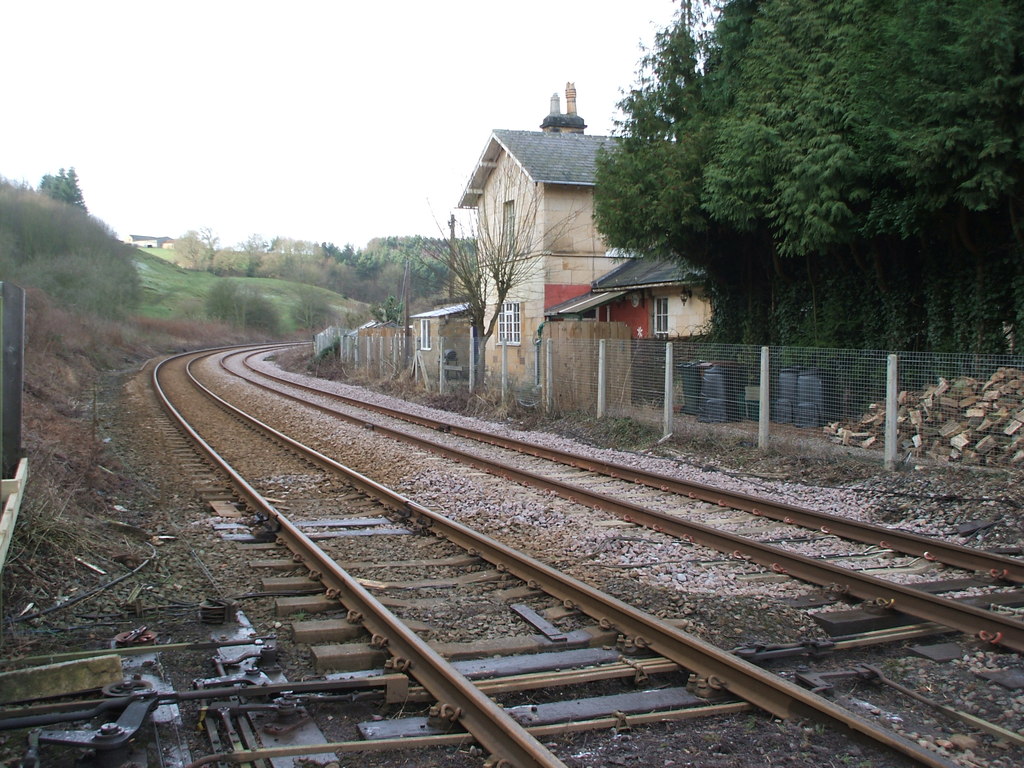
Kirkham Abbey railway station
Kirkham Abbey railway station was a minor railway station serving the village of Kirkham in North Yorkshire, England on the York to Scarborough Line and...
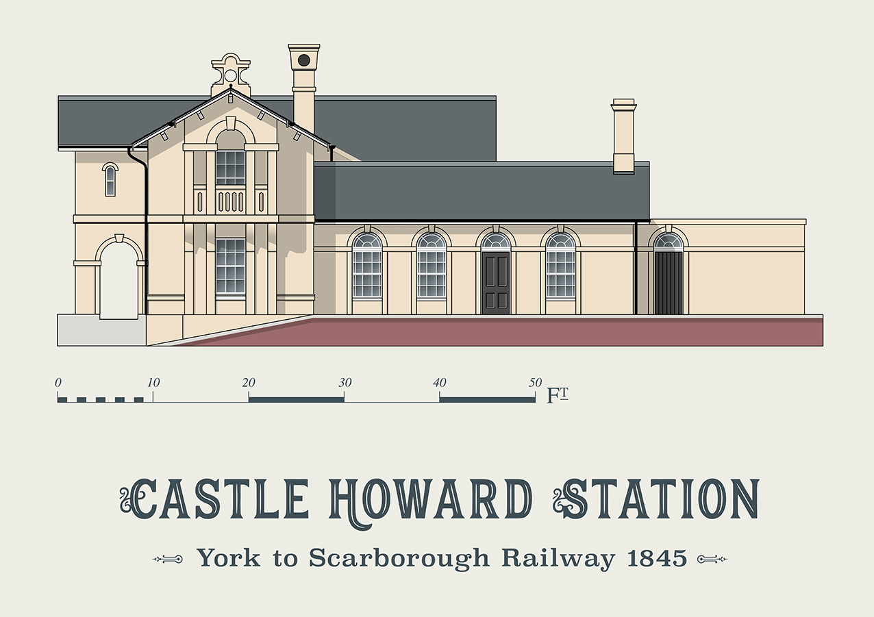
Castle Howard railway station
Castle Howard railway station was a minor railway station serving the village of Welburn and the stately home at Castle Howard in North Yorkshire, England...

Howsham railway station (North Yorkshire)
Howsham railway station was a short-lived railway station between the villages of Howsham and Crambe in North Yorkshire, England. Located on the York to...
Nearby Amenities
Located within 500m of 54.078473,-0.86038569Have you been to Badger Wood?
Leave your review of Badger Wood below (or comments, questions and feedback).