Ness Plantation
Wood, Forest in Yorkshire Scarborough
England
Ness Plantation

The requested URL returned error: 429 Too Many Requests
If you have any feedback on the listing, please let us know in the comments section below.
Ness Plantation Images
Images are sourced within 2km of 54.464569/-0.85253955 or Grid Reference NZ7408. Thanks to Geograph Open Source API. All images are credited.


Ness Plantation is located at Grid Ref: NZ7408 (Lat: 54.464569, Lng: -0.85253955)
Division: North Riding
Administrative County: North Yorkshire
District: Scarborough
Police Authority: North Yorkshire
What 3 Words
///bend.foot.glider. Near Danby, North Yorkshire
Nearby Locations
Related Wikis
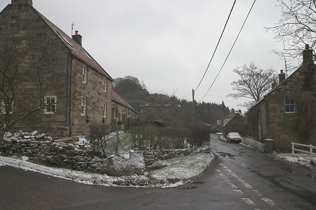
Houlsyke
Houlsyke is a hamlet in the Glaisdale civil parish of the Borough of Scarborough, in North Yorkshire, England. It is situated between Danby and Lealholm...
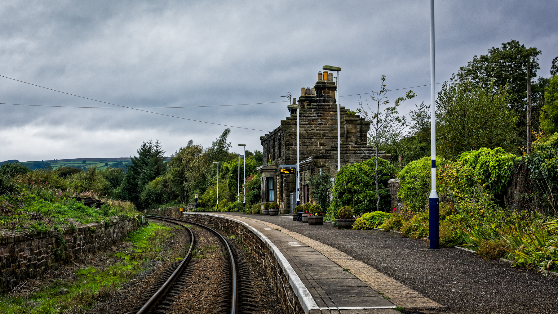
Lealholm railway station
Lealholm is a railway station on the Esk Valley Line, which runs between Middlesbrough and Whitby via Nunthorpe. The station, situated 11 miles 40 chains...

Lealholm
Lealholm is a small village in the Glaisdale civil parish of the Borough of Scarborough, in North Yorkshire, England. It is sited at a crossing point of...

Danby, North Yorkshire
Danby is a village and civil parish in the former Scarborough district of North Yorkshire, England. According to the 2011 UK census, Danby parish had a...
Nearby Amenities
Located within 500m of 54.464569,-0.85253955Have you been to Ness Plantation?
Leave your review of Ness Plantation below (or comments, questions and feedback).