Thompson's Plantation
Wood, Forest in Yorkshire
England
Thompson's Plantation

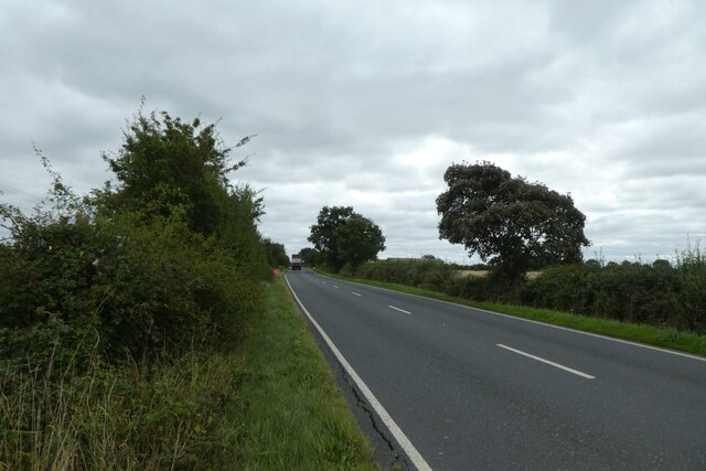
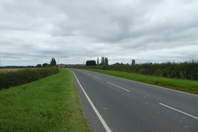
Thompson's Plantation is a historic woodland located in Yorkshire, England. Situated amidst the picturesque countryside, this plantation spans over a vast area of lush greenery and is renowned for its dense forest cover. The plantation is named after the Thompson family who have owned and managed it for several generations.
Covering an approximate area of 500 acres, Thompson's Plantation boasts a diverse range of tree species, including oak, birch, beech, and pine. The woodland is known for its majestic oak trees, some of which are believed to be over 200 years old, adding character and charm to the landscape. The forest floor is abundant with a variety of flora, including bluebells, ferns, and wildflowers, creating a vibrant and enchanting atmosphere.
The plantation is also home to a diverse array of wildlife. Numerous bird species, such as woodpeckers, owls, and thrushes, can be spotted here, making it a haven for birdwatching enthusiasts. Additionally, red squirrels, rabbits, and foxes are among the mammals that inhabit this woodland.
Thompson's Plantation offers a tranquil and peaceful environment for visitors to escape the hustle and bustle of city life. It provides opportunities for activities such as hiking, nature walks, and photography. The plantation is also a popular destination for educational field trips, where students can learn about the importance of forests in maintaining ecological balance.
Overall, Thompson's Plantation in Yorkshire is a captivating woodland that showcases the natural beauty of the region. With its rich biodiversity and serene ambiance, it continues to attract nature lovers and visitors seeking solace in the midst of nature's splendor.
If you have any feedback on the listing, please let us know in the comments section below.
Thompson's Plantation Images
Images are sourced within 2km of 53.789944/-0.87133116 or Grid Reference SE7433. Thanks to Geograph Open Source API. All images are credited.


Thompson's Plantation is located at Grid Ref: SE7433 (Lat: 53.789944, Lng: -0.87133116)
Division: East Riding
Unitary Authority: East Riding of Yorkshire
Police Authority: Humberside
What 3 Words
///prominent.flanked.dressing. Near Bubwith, East Yorkshire
Nearby Locations
Related Wikis

RNAS Howden
RNAS Howden (later RAF Howden) was an airship station near the town of Howden 15 miles (24 km) south-east of York, England. == History == It was opened...

Willitoft
Willitoft is a hamlet and former civil parish, now in the parish of Bubwith, in the East Riding of Yorkshire, England. It is situated just south of the...

Howden Rural District
Howden was a rural district in the East Riding of Yorkshire, England from 1894 to 1974.It was formed under the Local Government Act 1894 as a successor...
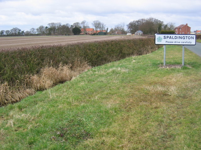
Spaldington
Spaldington is a village and civil parish in the East Riding of Yorkshire, England, lying approximately 3 miles (5 km) north from the market town of Howden...
Nearby Amenities
Located within 500m of 53.789944,-0.87133116Have you been to Thompson's Plantation?
Leave your review of Thompson's Plantation below (or comments, questions and feedback).