Blackbush Copse
Wood, Forest in Hampshire East Hampshire
England
Blackbush Copse

Blackbush Copse, located in Hampshire, is a picturesque wood renowned for its breathtaking beauty and tranquility. Spanning over a vast area of lush greenery, this enchanted forest is a nature lover's paradise.
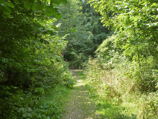
The copse is characterized by its dense canopy of towering trees, predominantly consisting of oak, beech, and birch. These majestic giants provide a cool shade, creating a serene and peaceful atmosphere within the wood. The forest floor is carpeted with a vibrant assortment of ferns, wildflowers, and mosses, adding a touch of color to the otherwise green landscape.
Blackbush Copse is home to a diverse array of wildlife, making it a haven for nature enthusiasts and birdwatchers alike. The woodland is a habitat for various bird species, including the melodious song thrush, the elusive tawny owl, and the colorful woodpecker. Squirrels scamper through the branches, while rabbits and deer gracefully roam the forest floor. It is not uncommon to spot a fox or badger going about their daily activities.
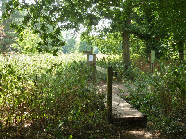
The copse is crisscrossed by a network of winding footpaths, allowing visitors to explore its hidden corners and discover its hidden treasures. These trails are well-maintained and provide an opportunity to immerse oneself in nature's wonders. A small stream meanders through the wood, adding to the overall charm and serenity of the place.
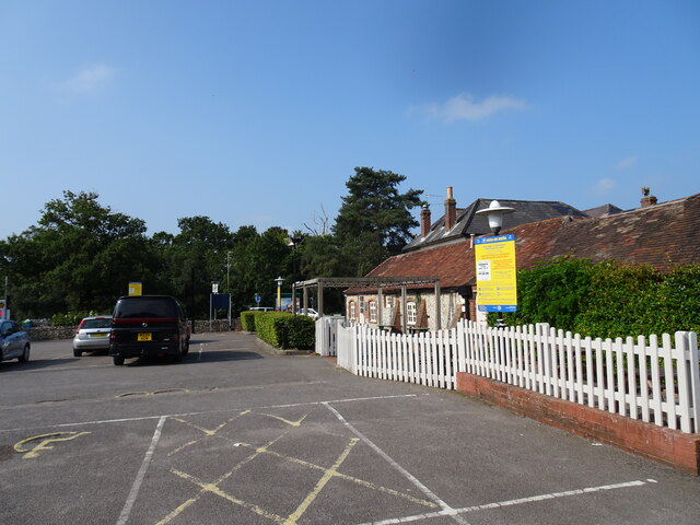
Blackbush Copse is a popular destination for nature walks, picnics, and photography. Its idyllic charm and natural beauty make it a perfect escape from the hustle and bustle of everyday life. Whether one is seeking solace, adventure, or simply a connection with nature, Blackbush Copse is the ideal destination.
If you have any feedback on the listing, please let us know in the comments section below.
Blackbush Copse Images
Images are sourced within 2km of 50.875928/-0.94326436 or Grid Reference SU7409. Thanks to Geograph Open Source API. All images are credited.


Blackbush Copse is located at Grid Ref: SU7409 (Lat: 50.875928, Lng: -0.94326436)
Administrative County: Hampshire
District: East Hampshire
Police Authority: Hampshire
What 3 Words
///sailing.shudders.passions. Near Emsworth, Hampshire
Nearby Locations
Related Wikis

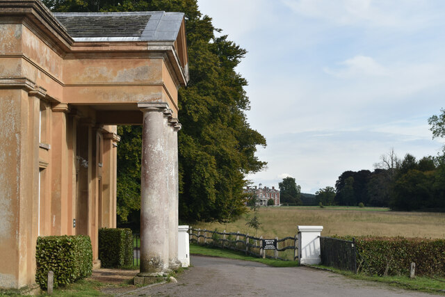
Hollybank House, Emsworth
Hollybank House near Emsworth in Hampshire, England, is a building of historical significance and is Grade II listed on the English Heritage Register....

Havant Academy
Havant Academy is a mixed secondary school located in the Leigh Park area of Havant in the English county of Hampshire. The school is situated at the edge...
Westbourne, West Sussex
Westbourne is a village, civil parish and electoral ward in the Chichester District of West Sussex, England. It is located 0.5 miles (0.80 km) north east...

Rowlands Castle railway station
Rowlands Castle railway station serves the village of Rowland's Castle, Hampshire, England. It is located on the Portsmouth Direct Line, 63 miles 18 chains...

Rowland's Castle
Rowland's Castle is a village and civil parish in the East Hampshire district of Hampshire, England. It is 2.9 miles (4.7 km) north of Havant, on the Hampshire/West...

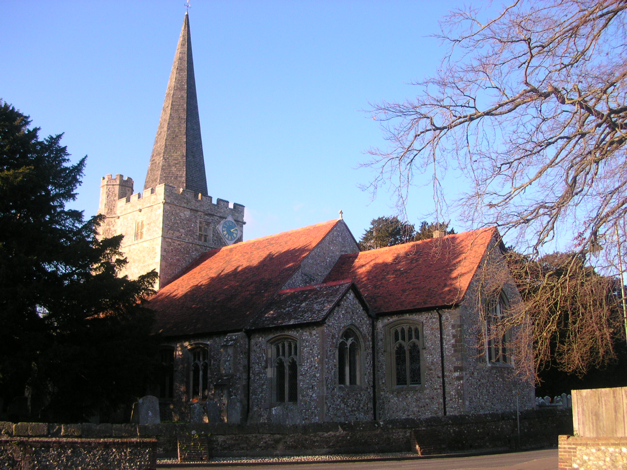
St Alban's Church, West Leigh
St Alban's Church is a Church of England parish church situated in West Leigh, Hampshire, England. == History == The church in its original location in...

Stansted Park
Stansted Park (including Stansted House) is an Edwardian country house in the parish of Stoughton, West Sussex, England. It is near the city of Chichester...
Clanfield F.C. (Hampshire)
Clanfield Football Club are a football club based in Havant, England. They play in the Wessex League Division One. The club is affiliated to the Hampshire...
Nearby Amenities
Located within 500m of 50.875928,-0.94326436Have you been to Blackbush Copse?
Leave your review of Blackbush Copse below (or comments, questions and feedback).