Grovehill Covert
Wood, Forest in Buckinghamshire South Oxfordshire
England
Grovehill Covert

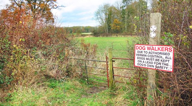
Grovehill Covert is a picturesque woodland area located in Buckinghamshire, England. Covering an area of approximately 200 acres, it is a popular destination for nature enthusiasts, hikers, and wildlife lovers. The covert is part of the larger Grovehill Wood, which is known for its diverse ecosystem and rich biodiversity.
The woodland is predominantly composed of ancient oak and beech trees, creating a dense canopy that provides shade and shelter for various species of flora and fauna. Bluebells, primroses, and wild garlic are just a few of the plant species that thrive in this enchanting woodland, creating a vibrant display of colors during the springtime.
The woodland is home to a wide range of wildlife, including deer, badgers, foxes, and a variety of bird species. Birdwatchers often flock to Grovehill Covert to catch a glimpse of rare species such as woodpeckers, owls, and buzzards. The tranquil atmosphere and natural beauty of the covert make it an ideal habitat for these creatures.
Visitors to Grovehill Covert can explore the numerous walking trails that wind through the woodland, offering stunning views and opportunities for wildlife spotting. The woodland also features picnic areas and benches, providing visitors with the perfect spot to relax and enjoy the peaceful surroundings.
Overall, Grovehill Covert in Buckinghamshire is a haven of natural beauty and tranquility. Its ancient trees, diverse wildlife, and stunning flora make it a must-visit destination for nature enthusiasts and those seeking a peaceful retreat in the heart of England.
If you have any feedback on the listing, please let us know in the comments section below.
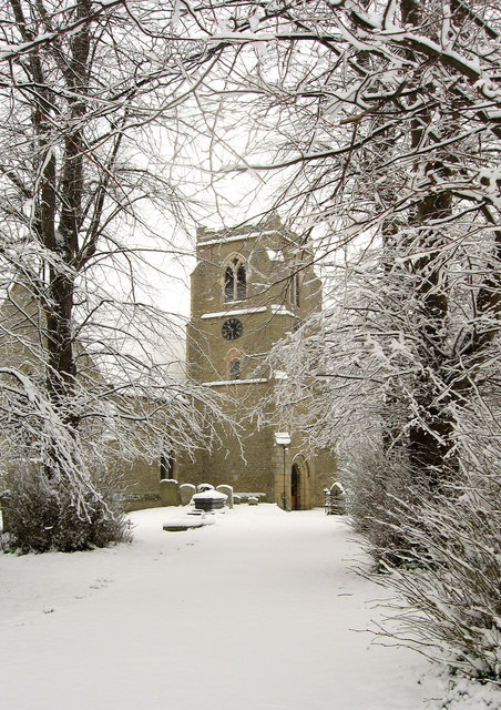
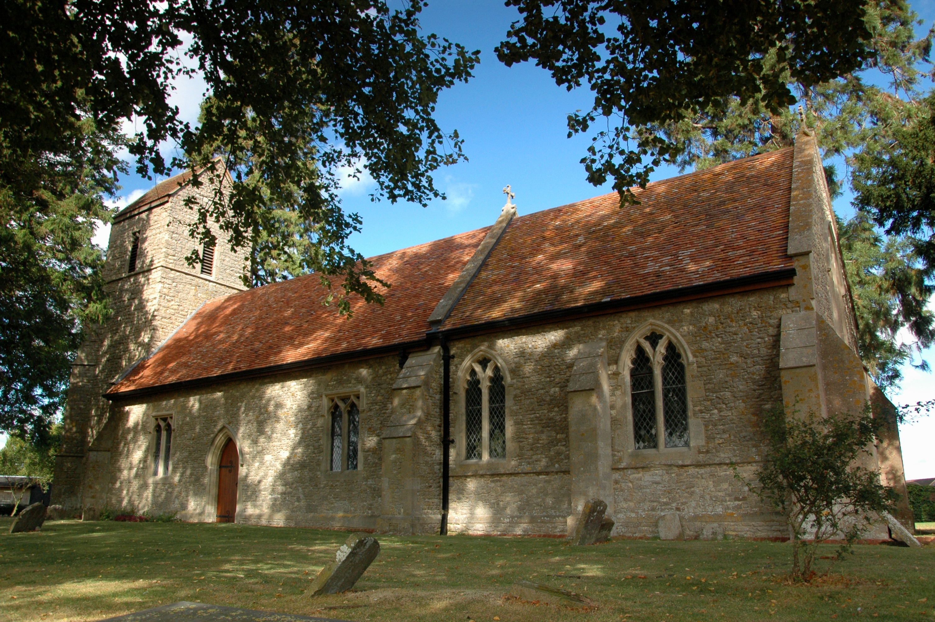
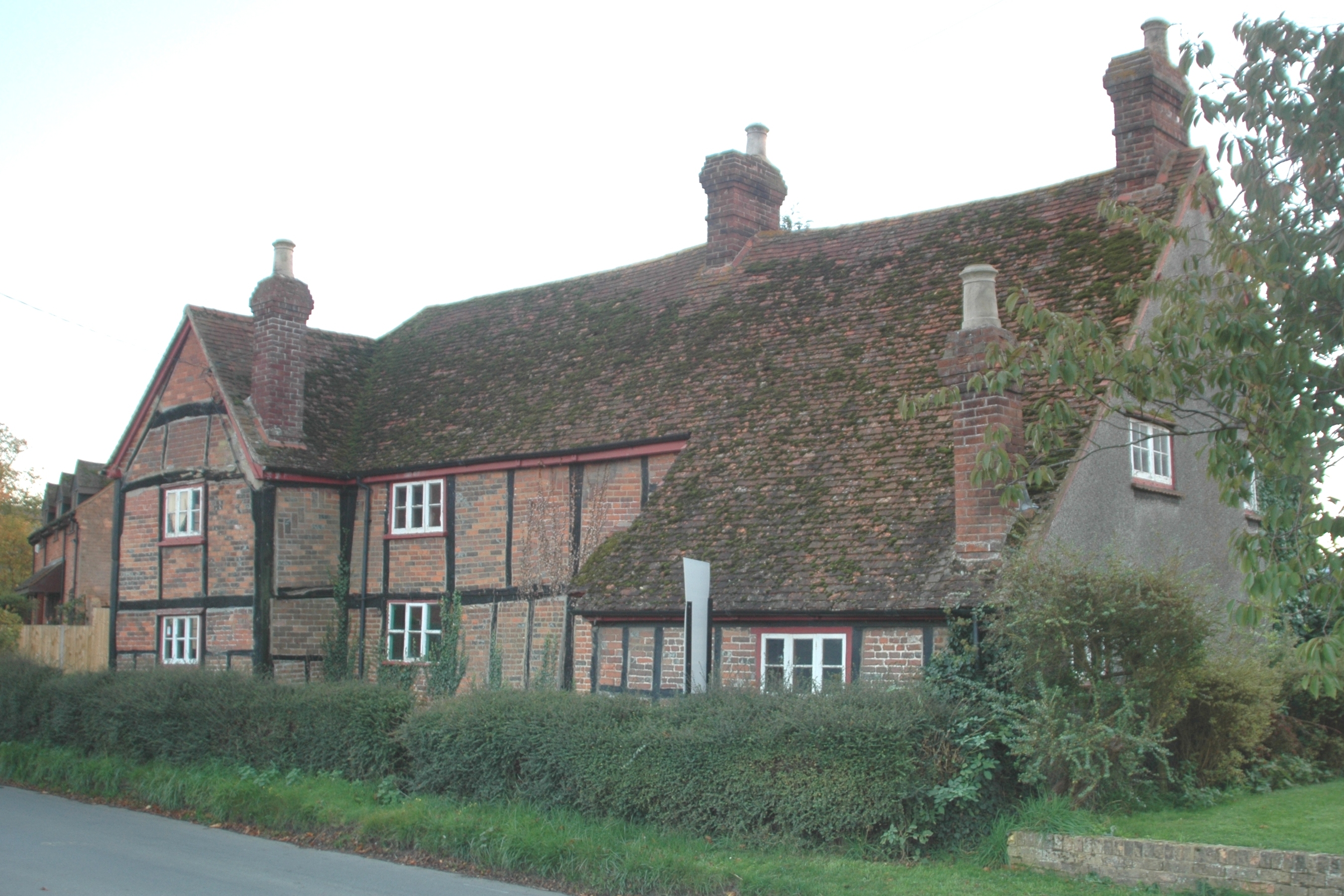
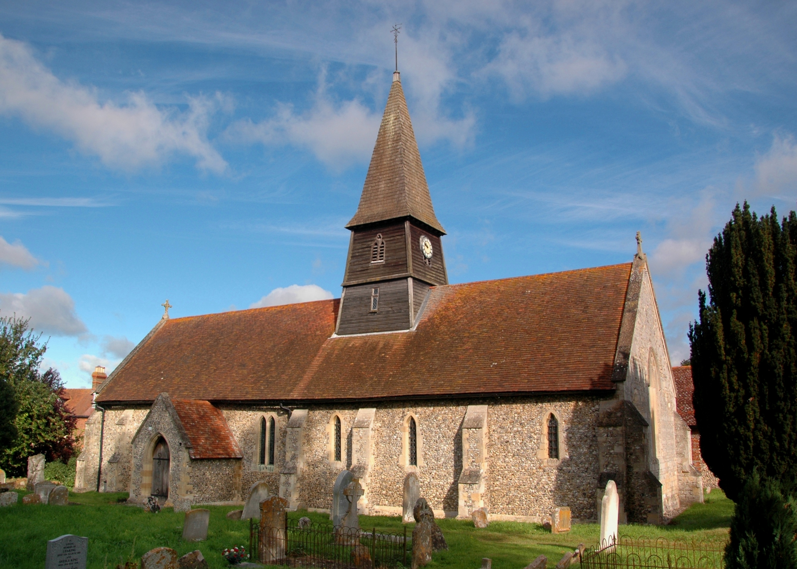
Grovehill Covert Images
Images are sourced within 2km of 51.730863/-0.92568028 or Grid Reference SP7404. Thanks to Geograph Open Source API. All images are credited.


Grovehill Covert is located at Grid Ref: SP7404 (Lat: 51.730863, Lng: -0.92568028)
Administrative County: Oxfordshire
District: South Oxfordshire
Police Authority: Thames Valley
What 3 Words
///succumbs.pool.juggles. Near Chinnor, Oxfordshire
Nearby Locations
Related Wikis
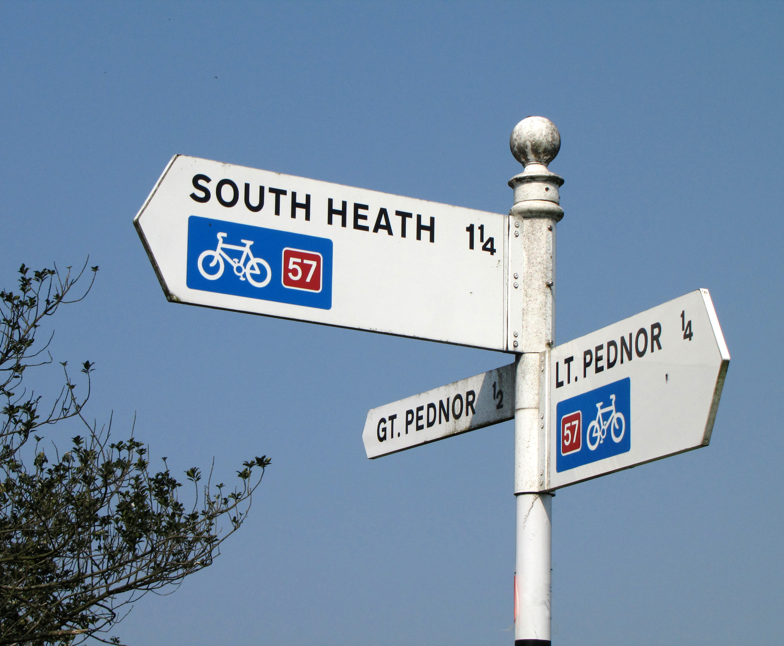
National Cycle Route 57
National Cycle Route 57 is part of the United Kingdom's National Cycle Network. When complete, it will run west to east from Farmington, Gloucestershire...

Phoenix Trail
The Phoenix Trail is a 7-mile (11 km) footpath and cycleway which runs between the market towns of Thame in South Oxfordshire and Princes Risborough in...

Towersey Halt railway station
Towersey Halt railway station was an intermediate station on the Wycombe Railway which served the Oxfordshire village of Towersey from 1933 to 1963. The...

Ashendon Hundred
Ashendon Hundred was a hundred in the county of Buckinghamshire, England. It was situated in the centre of the county and bordering to the west the county...
Towersey
Towersey is a village and civil parish about 1+1⁄2 miles (2.4 km) east of Thame in Oxfordshire. Towersey was part of Buckinghamshire until 1933, when the...
Emmington
Emmington is a village in the civil parish of Chinnor, in the South Oxfordshire district, in the county of Oxfordshire, England. It is about 4.5 miles...
Henton, Oxfordshire
Henton is a hamlet in Oxfordshire, about 3 miles (5 km) west of Princes Risborough in Buckinghamshire. Henton is in the civil parish of Chinnor, just off...
Sydenham, Oxfordshire
Sydenham is a village and civil parish about 3 miles (5 km) southeast of Thame in Oxfordshire. To the south the parish is bounded by the ancient Lower...
Nearby Amenities
Located within 500m of 51.730863,-0.92568028Have you been to Grovehill Covert?
Leave your review of Grovehill Covert below (or comments, questions and feedback).