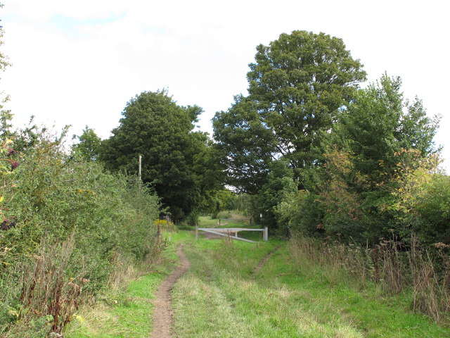
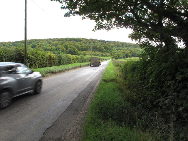
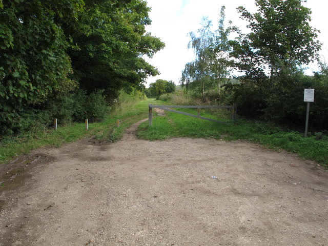
Grove Wood
Wood, Forest in Oxfordshire South Oxfordshire
England
Grove Wood
The requested URL returned error: 429 Too Many Requests
If you have any feedback on the listing, please let us know in the comments section below.
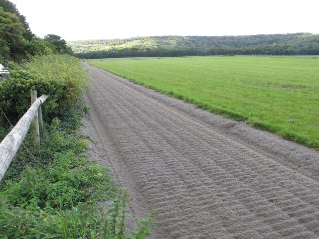
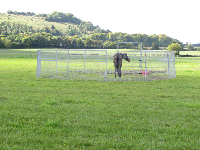
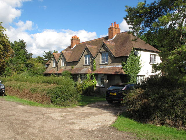
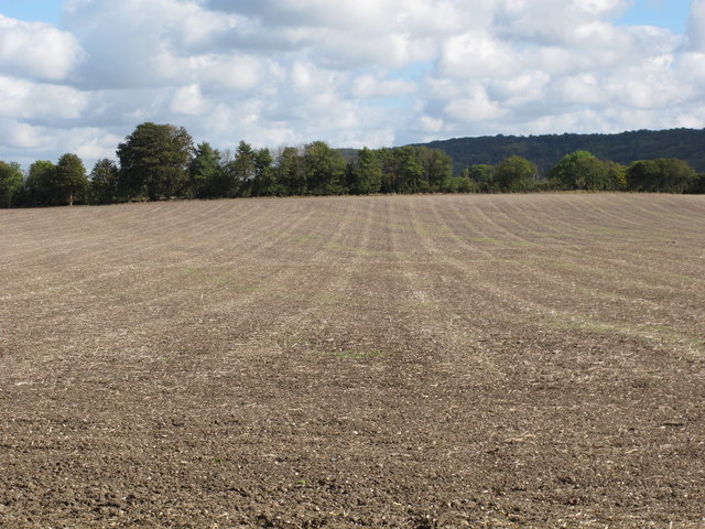
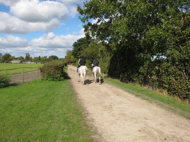
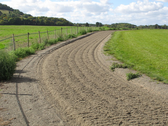
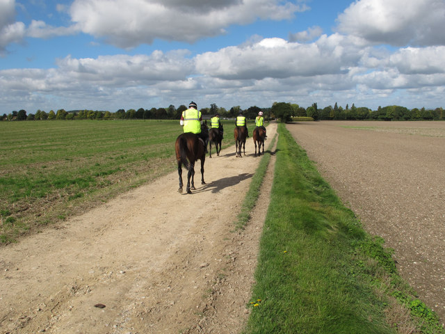
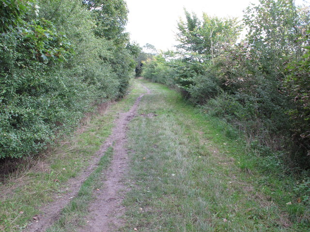
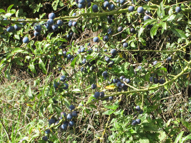
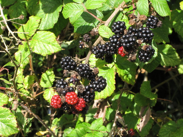
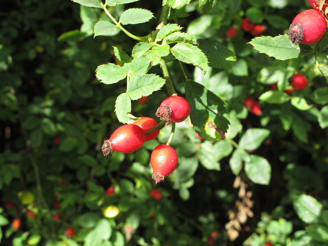
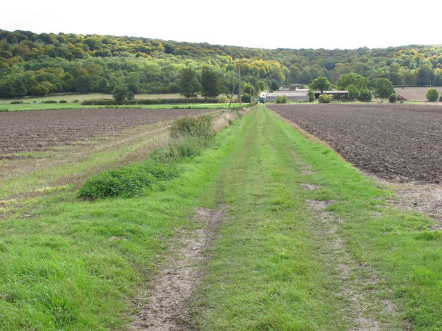
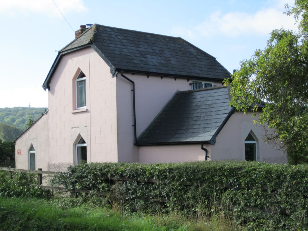
Grove Wood Images
Images are sourced within 2km of 51.672585/-0.9271606 or Grid Reference SU7497. Thanks to Geograph Open Source API. All images are credited.


Grove Wood is located at Grid Ref: SU7497 (Lat: 51.672585, Lng: -0.9271606)
Administrative County: Oxfordshire
District: South Oxfordshire
Police Authority: Thames Valley
What 3 Words
///ribs.undertook.should. Near Stokenchurch, Buckinghamshire
Nearby Locations
Related Wikis
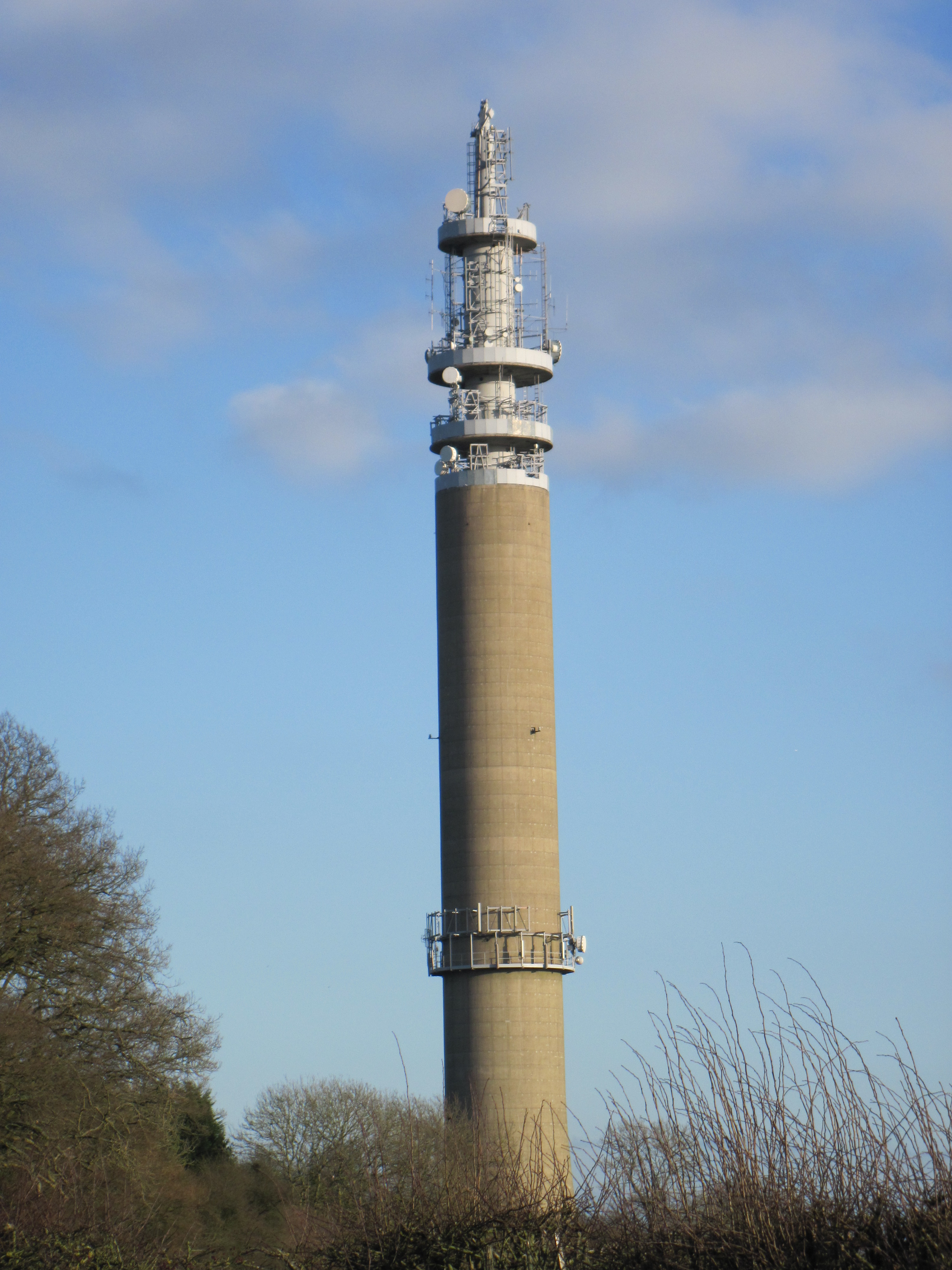
Stokenchurch BT Tower
Stokenchurch BT Tower is a telecommunications tower built of reinforced concrete at Stokenchurch, Buckinghamshire, England. Reaching to 340.5 metres (1...

Chiltern Hills
The Chiltern Hills are a chalk escarpment in the UK northwest of London, covering 660 square miles (1,700 km2) across Oxfordshire, Buckinghamshire, Hertfordshire...
Kingston Crossing Halt railway station
Kingston Crossing Halt railway station was a halt on the Watlington and Princes Risborough Railway which the Great Western Railway opened in 1906 to serve...

Aston Rowant Woods
Aston Rowant Woods is a 209.7-hectare (518-acre) biological Site of Special Scientific Interest near Aston Rowant in Oxfordshire and Buckinghamshire. Part...
Nearby Amenities
Located within 500m of 51.672585,-0.9271606Have you been to Grove Wood?
Leave your review of Grove Wood below (or comments, questions and feedback).