Down Covert
Wood, Forest in Oxfordshire South Oxfordshire
England
Down Covert

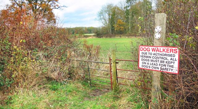
Down Covert is a picturesque woodland located in Oxfordshire, England. Nestled amidst the beautiful countryside, this enchanting forest covers an area of approximately 100 acres and is known for its diverse range of flora and fauna.
The woodland is predominantly made up of deciduous trees, including oak, beech, and ash, which provide a stunning display of colors throughout the seasons. The forest floor is adorned with a carpet of wildflowers, including bluebells, primroses, and wood anemones, creating a magical sight in springtime.
Down Covert is a haven for wildlife, offering a sanctuary for a variety of species. The forest is home to a plethora of birdlife, including woodpeckers, owls, and various songbirds. Keen-eyed visitors may also spot roe deer, foxes, and badgers, as they roam through the woodland in search of food and shelter.
The forest is crisscrossed with a network of well-maintained footpaths, allowing visitors to explore its beauty at their own pace. These paths wind through the trees, offering glimpses of hidden ponds and babbling brooks along the way. It is a popular destination for nature lovers, hikers, and photographers, who are drawn to its serene ambiance and natural charm.
Down Covert is an idyllic retreat from the hustle and bustle of everyday life, offering a tranquil escape into nature's embrace. Whether one seeks a peaceful walk, a chance to observe wildlife, or simply a moment of solitude, this woodland gem in Oxfordshire is sure to captivate all who venture within its boundaries.
If you have any feedback on the listing, please let us know in the comments section below.
Down Covert Images
Images are sourced within 2km of 51.728554/-0.92684991 or Grid Reference SP7403. Thanks to Geograph Open Source API. All images are credited.


Down Covert is located at Grid Ref: SP7403 (Lat: 51.728554, Lng: -0.92684991)
Administrative County: Oxfordshire
District: South Oxfordshire
Police Authority: Thames Valley
What 3 Words
///dummy.trailer.founders. Near Chinnor, Oxfordshire
Nearby Locations
Related Wikis
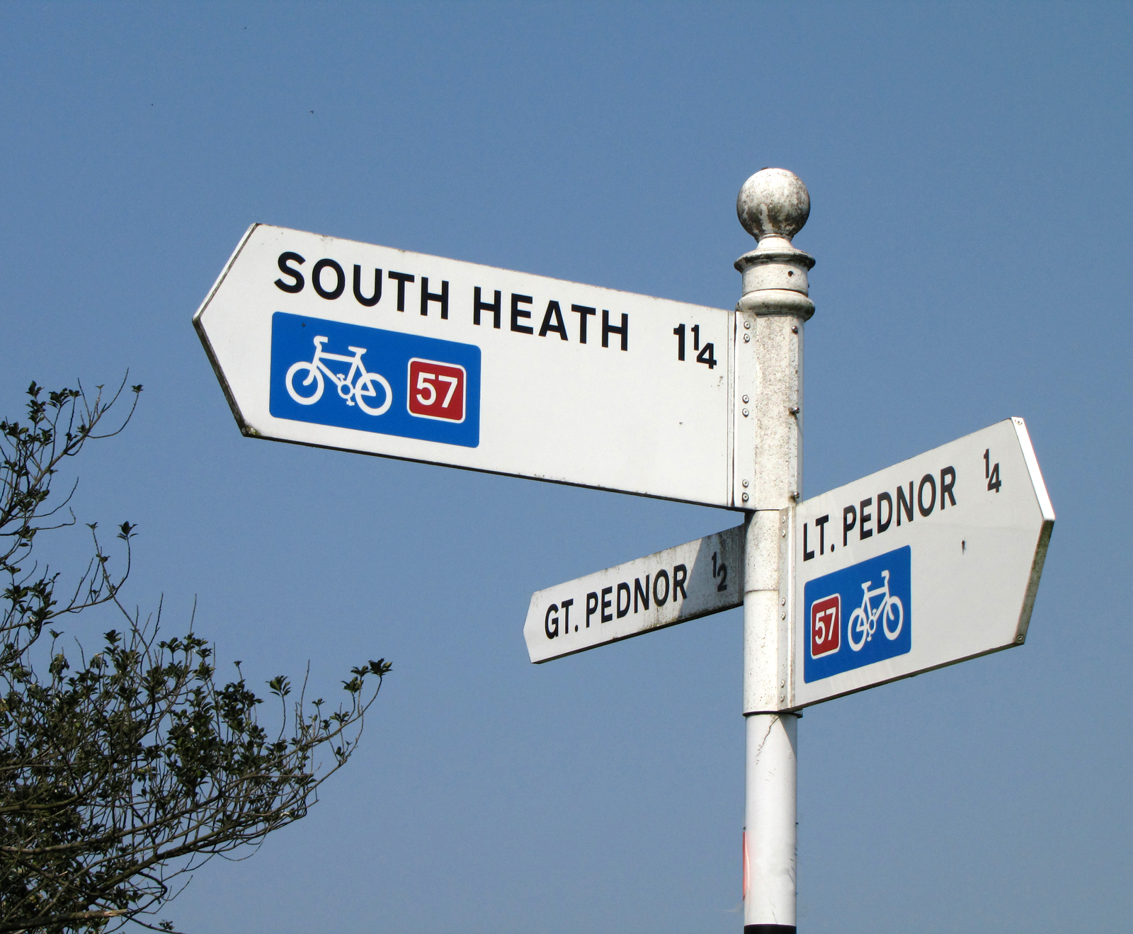
National Cycle Route 57
National Cycle Route 57 is part of the United Kingdom's National Cycle Network. When complete, it will run west to east from Farmington, Gloucestershire...

Phoenix Trail
The Phoenix Trail is a 7-mile (11 km) footpath and cycleway which runs between the market towns of Thame in South Oxfordshire and Princes Risborough in...

Towersey Halt railway station
Towersey Halt railway station was an intermediate station on the Wycombe Railway which served the Oxfordshire village of Towersey from 1933 to 1963. The...
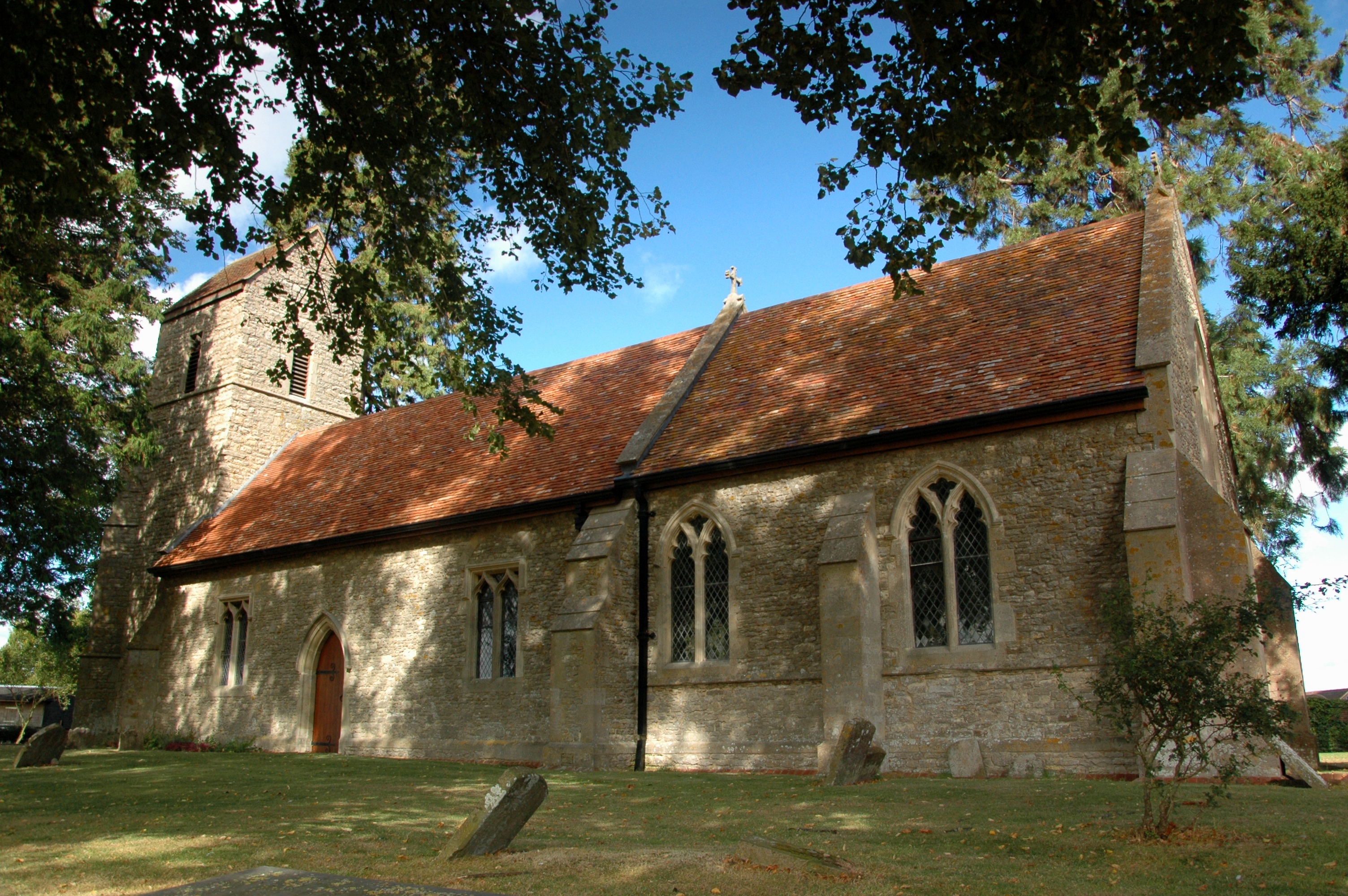
Emmington
Emmington is a village in the civil parish of Chinnor, in the South Oxfordshire district, in the county of Oxfordshire, England. It is about 4.5 miles...

Ashendon Hundred
Ashendon Hundred was a hundred in the county of Buckinghamshire, England. It was situated in the centre of the county and bordering to the west the county...
Towersey
Towersey is a village and civil parish about 1+1⁄2 miles (2.4 km) east of Thame in Oxfordshire. Towersey was part of Buckinghamshire until 1933, when the...
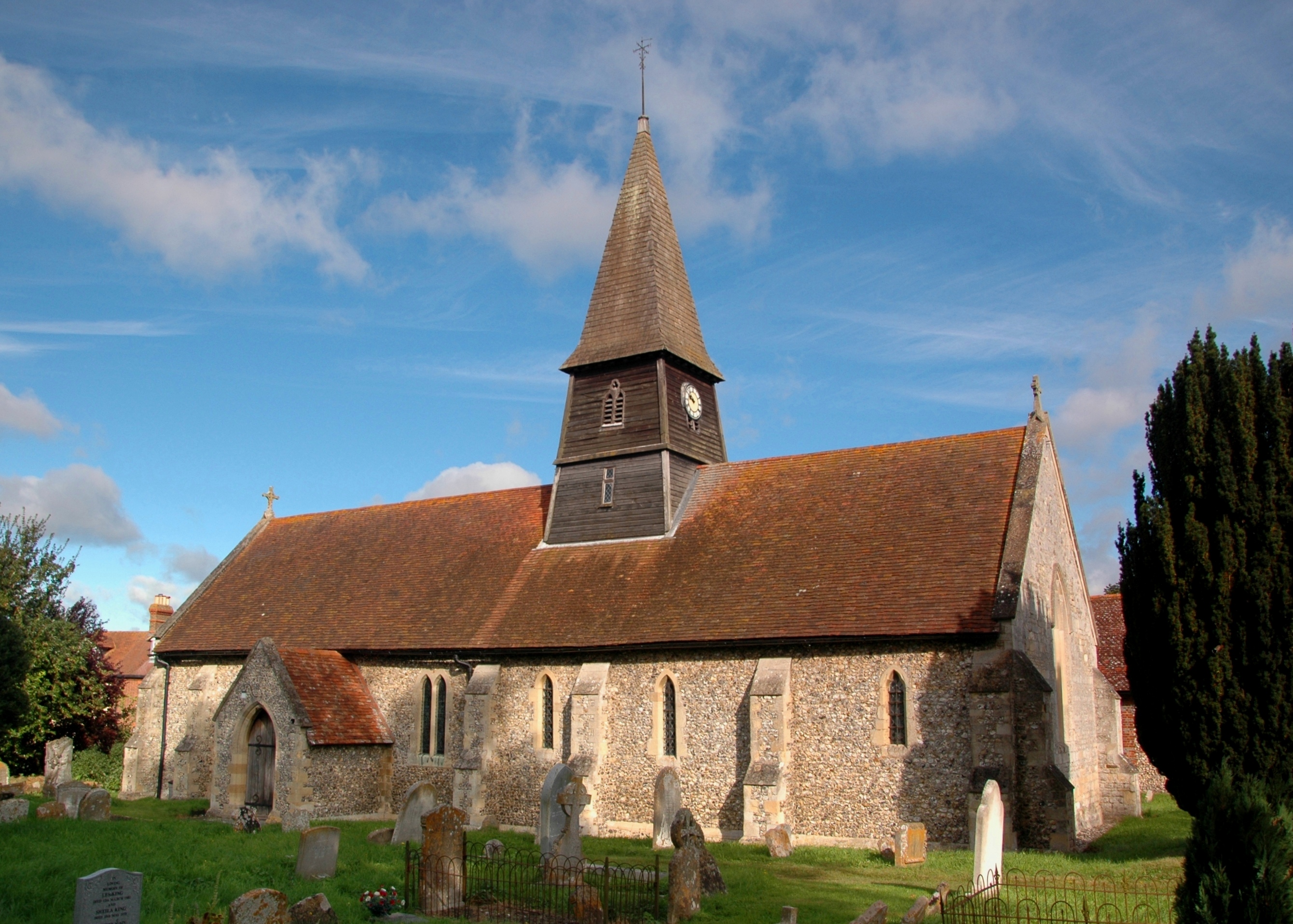
Henton, Oxfordshire
Henton is a hamlet in Oxfordshire, about 3 miles (5 km) west of Princes Risborough in Buckinghamshire. Henton is in the civil parish of Chinnor, just off...
Sydenham, Oxfordshire
Sydenham is a village and civil parish about 3 miles (5 km) southeast of Thame in Oxfordshire. To the south the parish is bounded by the ancient Lower...
Nearby Amenities
Located within 500m of 51.728554,-0.92684991Have you been to Down Covert?
Leave your review of Down Covert below (or comments, questions and feedback).