Allotment Plantation
Wood, Forest in Yorkshire Ryedale
England
Allotment Plantation

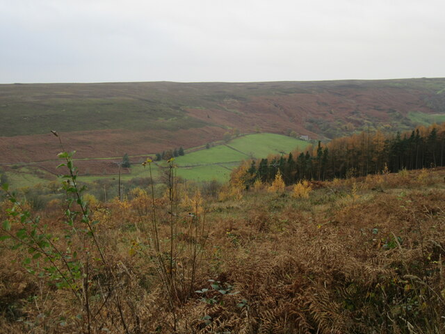
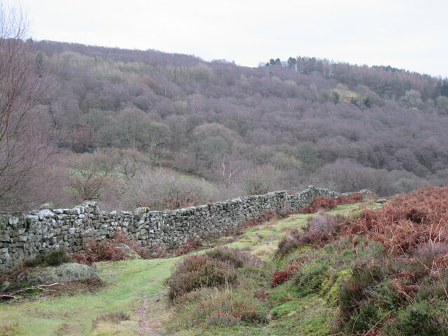
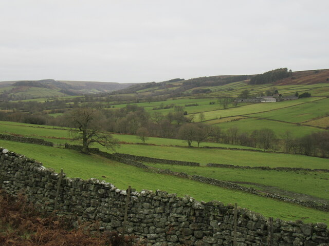
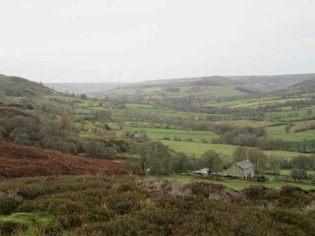
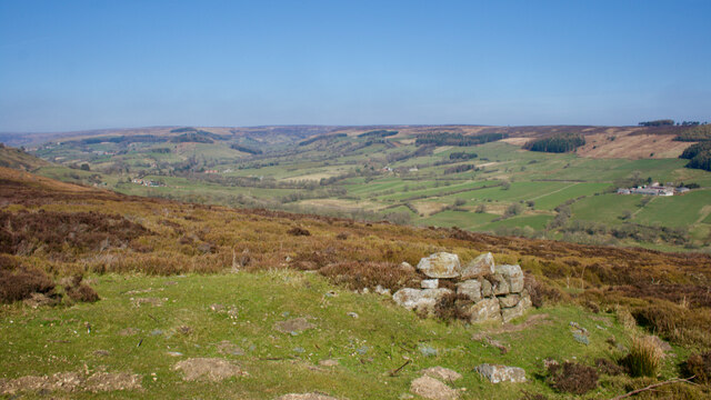
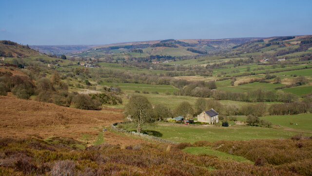
Allotment Plantation, located in Yorkshire, is a scenic woodland area known for its diverse range of plant species and tranquil atmosphere. Nestled amidst the breathtaking landscape of Yorkshire, this plantation is a popular destination for nature enthusiasts and hikers.
Spread across a vast expanse, Allotment Plantation boasts an abundance of mature trees, including oak, beech, and birch. These towering trees provide shade and create a serene ambiance throughout the woodland. The forest floor is carpeted with a variety of native wildflowers, ferns, and mosses, adding to its natural beauty.
The plantation is crisscrossed with well-maintained pathways, making it easy to explore the area. As you wander through the woodland, you may come across babbling brooks and small ponds, home to a diverse range of aquatic plants and wildlife. The plantation also features several picnic spots, allowing visitors to relax and enjoy the peaceful surroundings.
Allotment Plantation is a haven for birdwatchers, as it is home to a plethora of avian species. With its dense foliage and ample food sources, the woodland attracts a variety of birds, including woodpeckers, owls, and thrushes. Lucky visitors may even catch a glimpse of rarer species such as the tawny owl or the lesser spotted woodpecker.
Managed by the local authorities, Allotment Plantation is committed to preserving the natural habitat and wildlife within its boundaries. It is a place where visitors can immerse themselves in nature, engage in outdoor activities, or simply find solace in the tranquility of the woodland. Allotment Plantation truly offers a haven of natural beauty in the heart of Yorkshire.
If you have any feedback on the listing, please let us know in the comments section below.
Allotment Plantation Images
Images are sourced within 2km of 54.347022/-0.86040048 or Grid Reference SE7495. Thanks to Geograph Open Source API. All images are credited.


![Heading into the village The lower end of the very steep [25%] Heygate Bank road as it enters Rosedale Abbey village.](https://s1.geograph.org.uk/geophotos/07/09/19/7091977_12fa72ad.jpg)


![Site of glass works See Ryedale Folk Museum. (2021). Raymond Hayes and the Rosedale Glassmakers - Ryedale Folk Museum. [online] Available at: <span class="nowrap"><a title="https://www.ryedalefolkmuseum.co.uk/raymond-hayes-and-the-rosedale-glassmakers/" rel="nofollow ugc noopener" href="https://www.ryedalefolkmuseum.co.uk/raymond-hayes-and-the-rosedale-glassmakers/">Link</a><img style="margin-left:2px;" alt="External link" title="External link - shift click to open in new window" src="https://s1.geograph.org.uk/img/external.png" width="10" height="10"/></span> [Accessed 27 Mar. 2022].
](https://s2.geograph.org.uk/geophotos/07/13/00/7130030_6df64ae4.jpg)


Allotment Plantation is located at Grid Ref: SE7495 (Lat: 54.347022, Lng: -0.86040048)
Division: North Riding
Administrative County: North Yorkshire
District: Ryedale
Police Authority: North Yorkshire
What 3 Words
///whisk.lizard.libraries. Near Kirkbymoorside, North Yorkshire
Nearby Locations
Related Wikis
Hartoft
Hartoft is a hamlet in the Ryedale district of North Yorkshire, England. It is situated approximately 7 miles (11 km) north-northwest from Pickering. The...

Rosedale Abbey
Rosedale Abbey is a village in the Ryedale district of North Yorkshire, England. It is approximately 8 miles (13 km) north-west of Pickering, 8 miles south...

Rosedale Priory
Rosedale Priory was a priory in Rosedale Abbey, North Yorkshire, England that was founded c. 1150–1199. By the time the priory was suppressed in 1535,...

Rosedale Chimney Bank
Rosedale Chimney Bank or just Chimney Bank is a hill pass that carries a minor road between Rosedale Abbey and Hutton-le-Hole in the Ryedale district of...

Rosedale, North Yorkshire
Rosedale is a valley located almost in the centre of the North York Moors national park in North Yorkshire, England. The nearest town is Kirkbymoorside...

Ironstone mining in Rosedale
The Ironstone mining in Rosedale, was a major mining concern, in Rosedale, North Yorkshire, England. It flourished in the 19th century and ceased in the...

Blue Man-i'-th'-Moss
Blue Man-i'-th'-Moss is a standing stone in the North York Moors in northern England. It lies on Wheeldale Moor on the route of the Lyke Wake Walk.It is...

Church of St Mary, Lastingham
The Church of St Mary, Lastingham, is the Anglican parish church for the village of Lastingham in North Yorkshire, England. The parish is part of Ryedale...
Nearby Amenities
Located within 500m of 54.347022,-0.86040048Have you been to Allotment Plantation?
Leave your review of Allotment Plantation below (or comments, questions and feedback).