Borough Court Common
Wood, Forest in Hampshire Hart
England
Borough Court Common

Borough Court Common is a picturesque wood located in the county of Hampshire, England. Situated in the borough of Eastleigh, this forested area covers a total land area of approximately 54 hectares. The common is part of the larger Itchen Valley Country Park, which stretches along the River Itchen and offers a range of outdoor activities and natural beauty for visitors to enjoy.
The woodland at Borough Court Common is characterized by its mixed broadleaf trees, creating a diverse and vibrant ecosystem. Among the tree species found here are oak, beech, birch, and hazel, providing a rich habitat for numerous bird species, mammals, and insects. The forest floor is covered with a carpet of bluebells in the spring, adding a splash of color to the surroundings.
The common is crisscrossed with a network of well-maintained footpaths, making it an ideal destination for walkers, hikers, and nature enthusiasts. These paths lead visitors through the enchanting woodland, allowing them to explore its hidden corners and discover its natural wonders. The tranquil atmosphere and peaceful surroundings offer a soothing escape from the hustle and bustle of everyday life.
Managed by the Hampshire County Council, Borough Court Common is a designated Site of Importance for Nature Conservation (SINC), highlighting its significance in preserving and promoting biodiversity in the region. It is also a popular spot for birdwatching, with various species such as woodpeckers, nuthatches, and tits being commonly sighted.
With its serene ambiance, abundant wildlife, and well-maintained trails, Borough Court Common is a delightful destination for those seeking a peaceful retreat in the heart of Hampshire's natural beauty.
If you have any feedback on the listing, please let us know in the comments section below.
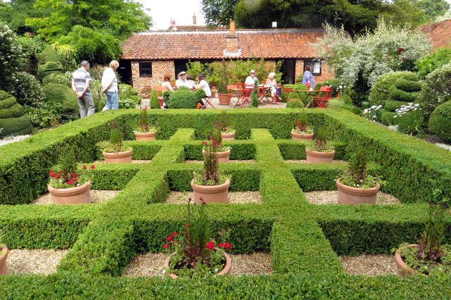
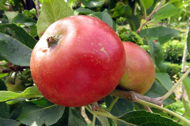
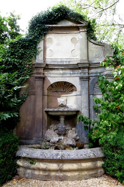
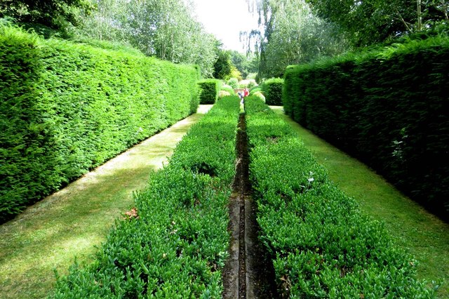
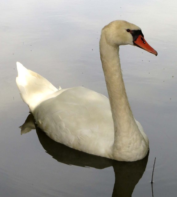
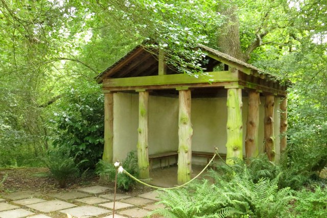
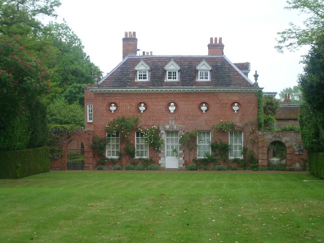
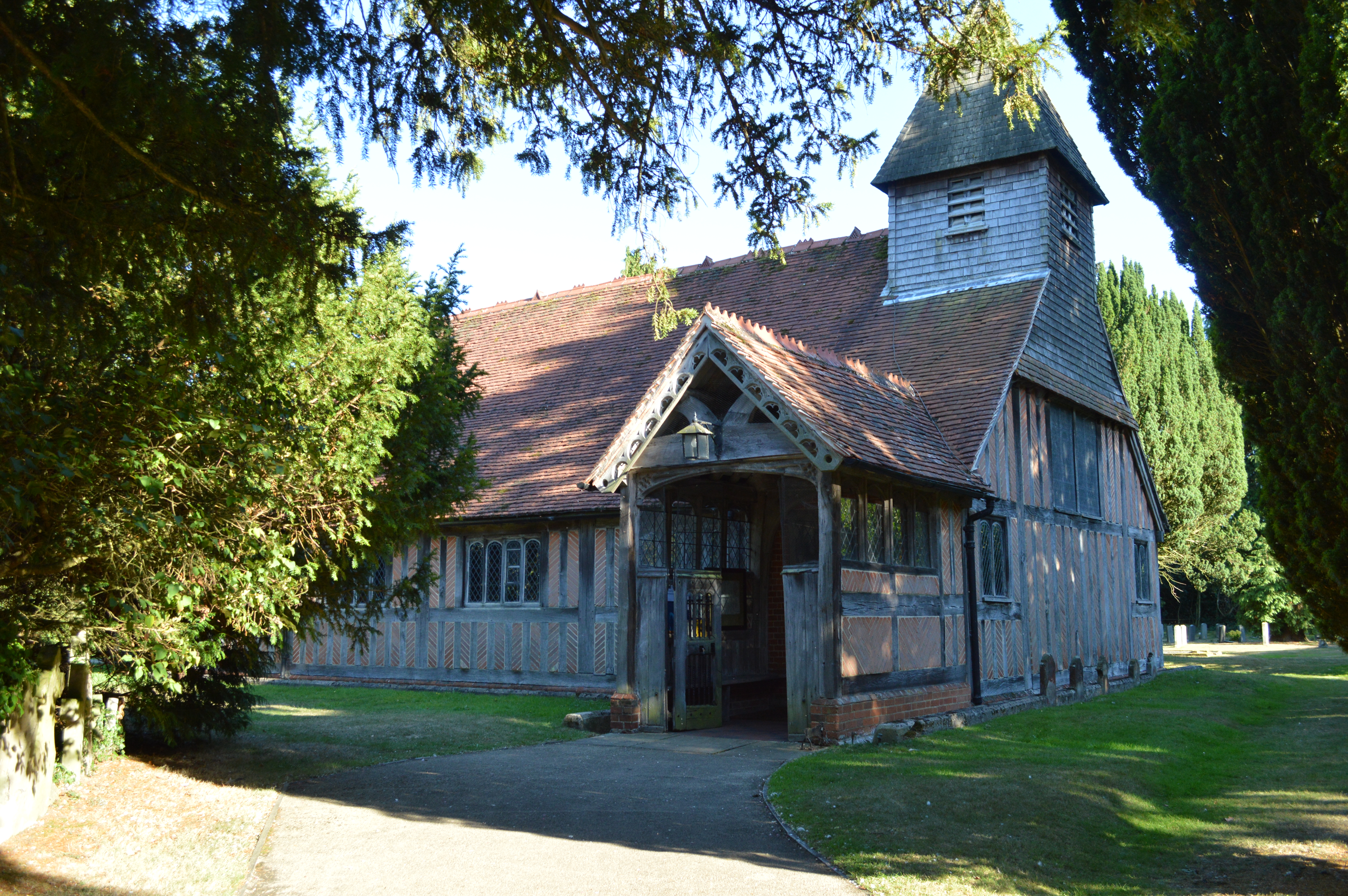
Borough Court Common Images
Images are sourced within 2km of 51.295814/-0.93761361 or Grid Reference SU7455. Thanks to Geograph Open Source API. All images are credited.


Borough Court Common is located at Grid Ref: SU7455 (Lat: 51.295814, Lng: -0.93761361)
Administrative County: Hampshire
District: Hart
Police Authority: Hampshire
What 3 Words
///televise.record.assist. Near Hook, Hampshire
Nearby Locations
Related Wikis

West Green, Hampshire
West Green is a village in the Hartley Wintney parish of Hampshire, England. The villages lies 2 miles (3 km) from Hook, its nearest town.
West Green House
West Green House is an 18th-century country house and garden at West Green in Hartley Wintney in the English county of Hampshire. The house is listed Grade...
Phoenix Green
Phoenix Green is a village in the Hart District of Hampshire, England about 1 mile (1.6 km) southwest of Hartley Wintney. It has a petrol station and one...
Mattingley
Mattingley is a village and large civil parish in Hampshire, England. The village lies on the Reading road between the town of Hook and Reading. The village...
Chandlers Green
Chandlers Green is a hamlet in the civil parish of Mattingley in the Hart District of Hampshire, England. Its nearest town is Hook approximately 2.5 miles...
Hartley Wintney F.C.
Hartley Wintney Football Club is a semi-professional football club based in the village of Hartley Wintney, Hampshire, England. They are currently members...
Rotherwick
Rotherwick is a village and civil parish in the Hart district of Hampshire, England. == Extent and layout == It is briefly limited to the east and the...
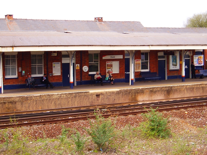
Hook railway station
Hook railway station serves the village of Hook and surrounding villages in Hampshire, southern England. There are two platforms serving the outer pair...
Nearby Amenities
Located within 500m of 51.295814,-0.93761361Have you been to Borough Court Common?
Leave your review of Borough Court Common below (or comments, questions and feedback).