Barleyholme Wood
Wood, Forest in Nottinghamshire Rushcliffe
England
Barleyholme Wood
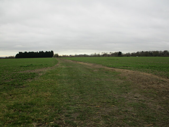
Barleyholme Wood is a picturesque woodland located in Nottinghamshire, England. Covering an area of approximately 50 acres, it is a popular destination for nature lovers and outdoor enthusiasts. The wood is situated near the village of Barleyholme and is easily accessible by foot or car.
The woodland is predominantly composed of deciduous trees, including oak, beech, and birch, which create a stunning canopy of foliage during the warmer months. This diverse ecosystem supports a rich variety of flora and fauna, making it a haven for wildlife. Visitors can expect to see a range of bird species, such as woodpeckers and songbirds, as well as small mammals like squirrels and foxes.
Trails wind their way through the wood, providing visitors with the opportunity to explore its beauty at their own pace. These paths are well-maintained and suitable for walkers of all abilities. Along the way, benches and picnic areas are scattered throughout, offering a perfect spot to rest and take in the tranquil surroundings.
Barleyholme Wood is known for its vibrant display of wildflowers in the spring, with bluebells carpeting the forest floor. This spectacle attracts many visitors who come to witness the stunning sea of purple and blue hues.
The wood is open to the public year-round, with no admission fees. However, it is important for visitors to respect the natural environment and abide by any signage or guidelines provided. Barleyholme Wood is a true gem of Nottinghamshire, offering a peaceful retreat from the hustle and bustle of daily life.
If you have any feedback on the listing, please let us know in the comments section below.
Barleyholme Wood Images
Images are sourced within 2km of 52.995604/-0.89876455 or Grid Reference SK7444. Thanks to Geograph Open Source API. All images are credited.


Barleyholme Wood is located at Grid Ref: SK7444 (Lat: 52.995604, Lng: -0.89876455)
Administrative County: Nottinghamshire
District: Rushcliffe
Police Authority: Nottinghamshire
What 3 Words
///professed.crush.silver. Near East Bridgford, Nottinghamshire
Nearby Locations
Related Wikis
Flintham
Flintham is a village and civil parish in the Rushcliffe district in Nottinghamshire, 7 miles (11 km) from Newark-on-Trent and opposite RAF Syerston on...
Screveton
Screveton (pronounced locally "Screveeton" or "Screeton") is an English parish and village in the Rushcliffe borough of Nottinghamshire, with about 100...

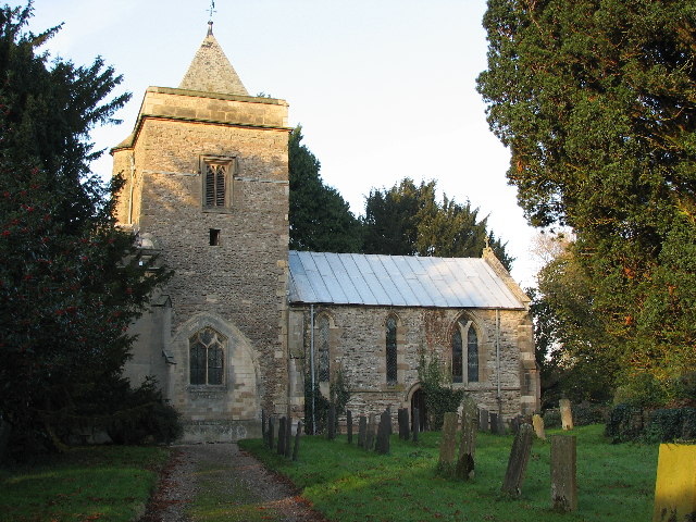
Church of St Mary and All Saints, Hawksworth
The Church of St Mary and All Saints, Hawksworth is the Church of England parish church in Hawksworth, Nottinghamshire. It is Grade II* listed by the Department...
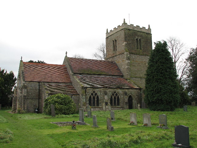
St Wilfrid's Church, Screveton
St Wilfrid's Church, Screveton is a Grade I listed parish church in the Church of England in Screveton. == History == The church dates from the 13th century...
Nearby Amenities
Located within 500m of 52.995604,-0.89876455Have you been to Barleyholme Wood?
Leave your review of Barleyholme Wood below (or comments, questions and feedback).