The Spinney
Wood, Forest in Hampshire Havant
England
The Spinney

The Spinney is a picturesque woodland area located in Hampshire, England. Covering an expansive area of approximately 100 acres, it is nestled within the heart of the Hampshire countryside, making it a popular destination for nature enthusiasts and outdoor lovers alike.
The woodland is predominantly composed of a variety of native tree species, such as oak, beech, and birch, which create a diverse and vibrant ecosystem. The dense canopy of trees provides a sanctuary for numerous bird species, including woodpeckers, owls, and thrushes. Additionally, the woodland floor is adorned with a rich tapestry of wildflowers, adding bursts of color throughout the seasons.
The Spinney offers a range of walking trails, allowing visitors to explore the area at their own pace. These trails wind through the woodland, passing by babbling brooks, charming clearings, and moss-covered rocks. Along the way, visitors may encounter various wildlife, such as deer, squirrels, and rabbits, adding to the enchantment of the experience.
For those seeking a tranquil retreat, The Spinney provides several secluded picnic spots, where visitors can relax and enjoy the natural surroundings. Furthermore, the woodland is home to a small, secluded pond, which serves as a haven for aquatic plants and insects.
Overall, The Spinney is a hidden gem in Hampshire, offering a serene and captivating woodland experience. Whether you are an avid nature lover, a keen photographer, or simply looking for a peaceful getaway, this enchanting forest is sure to captivate and inspire.
If you have any feedback on the listing, please let us know in the comments section below.
The Spinney Images
Images are sourced within 2km of 50.861143/-0.95117186 or Grid Reference SU7307. Thanks to Geograph Open Source API. All images are credited.


The Spinney is located at Grid Ref: SU7307 (Lat: 50.861143, Lng: -0.95117186)
Administrative County: Hampshire
District: Havant
Police Authority: Hampshire
What 3 Words
///cling.mats.atom. Near Emsworth, Hampshire
Nearby Locations
Related Wikis

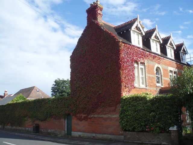
Hollybank House, Emsworth
Hollybank House near Emsworth in Hampshire, England, is a building of historical significance and is Grade II listed on the English Heritage Register....
Denvilles
Denvilles is a locality within Havant to the north of Warblington railway station. In 1877 it consisted of a solitary farm but by 1897 there were several...

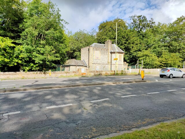
Havant New railway station
Havant New was a temporary terminus between Havant and Rowlands Castle on the Portsmouth Direct Line: a temporary platform, erected by the L&SWR who were...
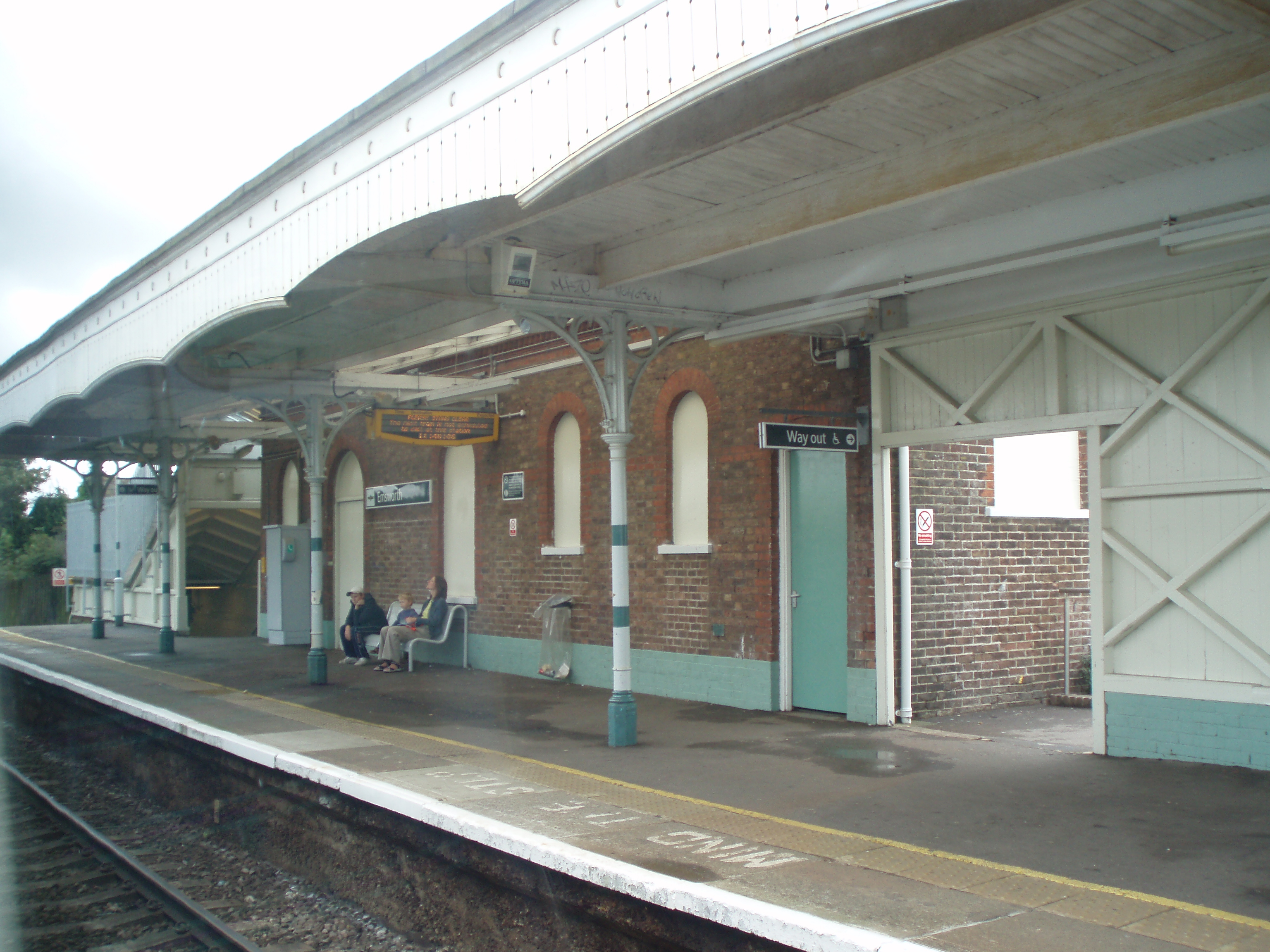
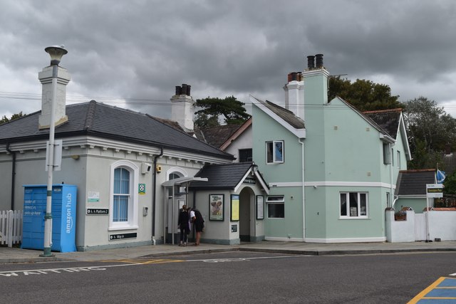
Emsworth railway station
Emsworth railway station serves the small town of Emsworth, on the Hampshire side of the border between Hampshire and West Sussex, in southern England...
Nearby Amenities
Located within 500m of 50.861143,-0.95117186Have you been to The Spinney?
Leave your review of The Spinney below (or comments, questions and feedback).