Dogcroft Wood
Wood, Forest in Yorkshire Ryedale
England
Dogcroft Wood

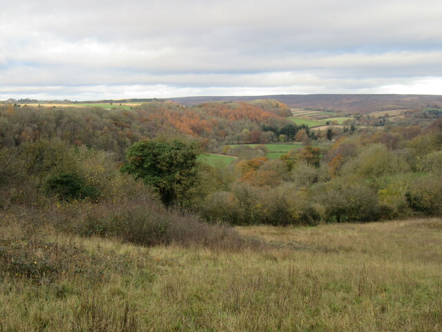
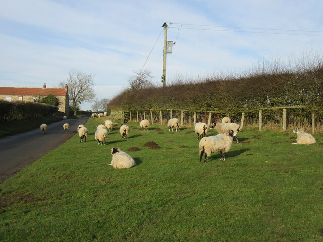
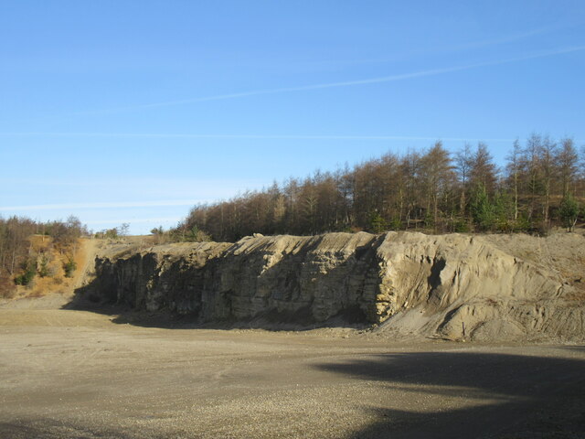
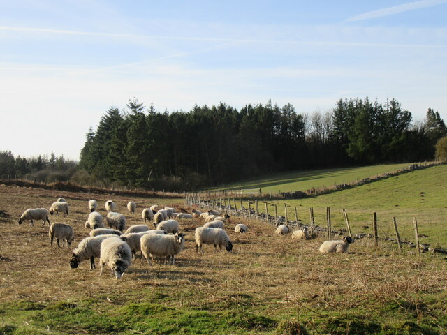
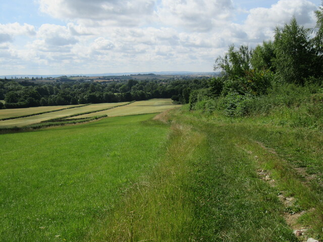
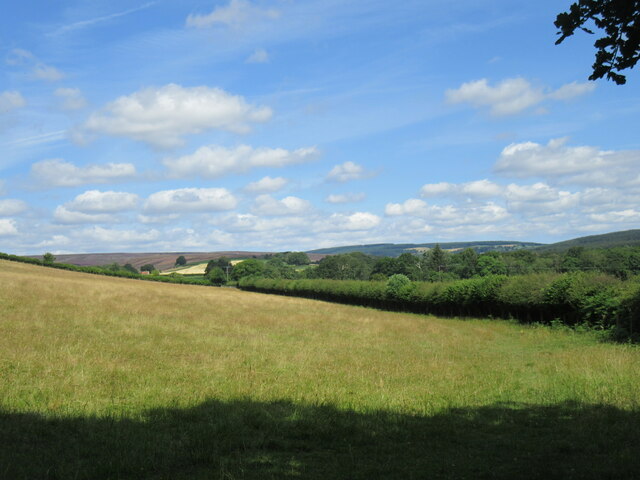
Dogcroft Wood is a picturesque woodland located in Yorkshire, England. Situated in the heart of the county, it is a popular destination for nature enthusiasts and outdoor adventurers alike. The wood covers an expansive area and is home to a diverse range of flora and fauna.
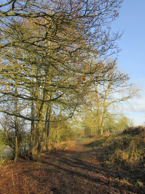
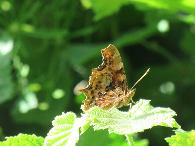
The woodland is characterized by its dense canopy of towering trees, creating a serene and peaceful atmosphere. Ancient oak, beech, and ash trees dominate the landscape, providing shelter and habitat for a variety of wildlife including deer, foxes, and numerous bird species. The forest floor is adorned with a rich carpet of moss, ferns, and wildflowers, creating a vibrant and enchanting undergrowth.
There are several winding trails that meander through the wood, allowing visitors to explore its beauty at their own pace. These paths offer glimpses of hidden clearings, babbling brooks, and small ponds, adding to the magical ambiance of the wood. Along the way, there are well-maintained benches and picnic spots, providing a perfect setting for a leisurely lunch or a moment of relaxation.
Dogcroft Wood is not only a haven for nature lovers but also a valuable educational resource. It offers opportunities for schools and researchers to study and learn about woodland ecosystems, biodiversity, and conservation. The wood is carefully managed and preserved, ensuring its natural beauty and ecological balance.
Visiting Dogcroft Wood is a truly immersive experience, immersing visitors in the tranquility and natural wonders of Yorkshire's woodlands. Whether it be for a leisurely walk, a picnic, or a chance to connect with nature, this enchanting woodland promises a memorable and rejuvenating experience for all who venture into its realm.
If you have any feedback on the listing, please let us know in the comments section below.
Dogcroft Wood Images
Images are sourced within 2km of 54.276922/-0.86652821 or Grid Reference SE7387. Thanks to Geograph Open Source API. All images are credited.


Dogcroft Wood is located at Grid Ref: SE7387 (Lat: 54.276922, Lng: -0.86652821)
Division: North Riding
Administrative County: North Yorkshire
District: Ryedale
Police Authority: North Yorkshire
What 3 Words
///iceberg.mysteries.design. Near Kirkbymoorside, North Yorkshire
Nearby Locations
Related Wikis
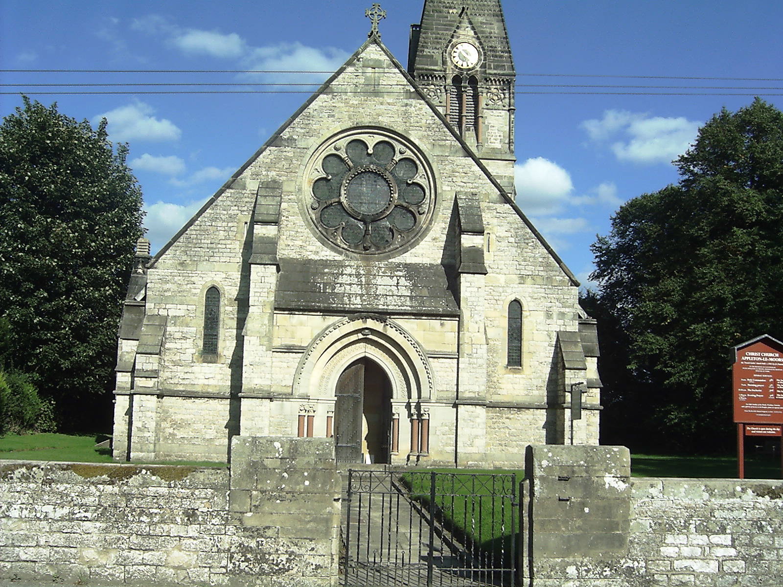
Appleton-le-Moors
Appleton-le-Moors is a village and civil parish in North Yorkshire, England. According to the 2001 census it had a population of 183, reducing to 164 in...

Sinnington
Sinnington is a village and civil parish in North Yorkshire, England. It is located on the southern boundary of the North York Moors National Park. According...
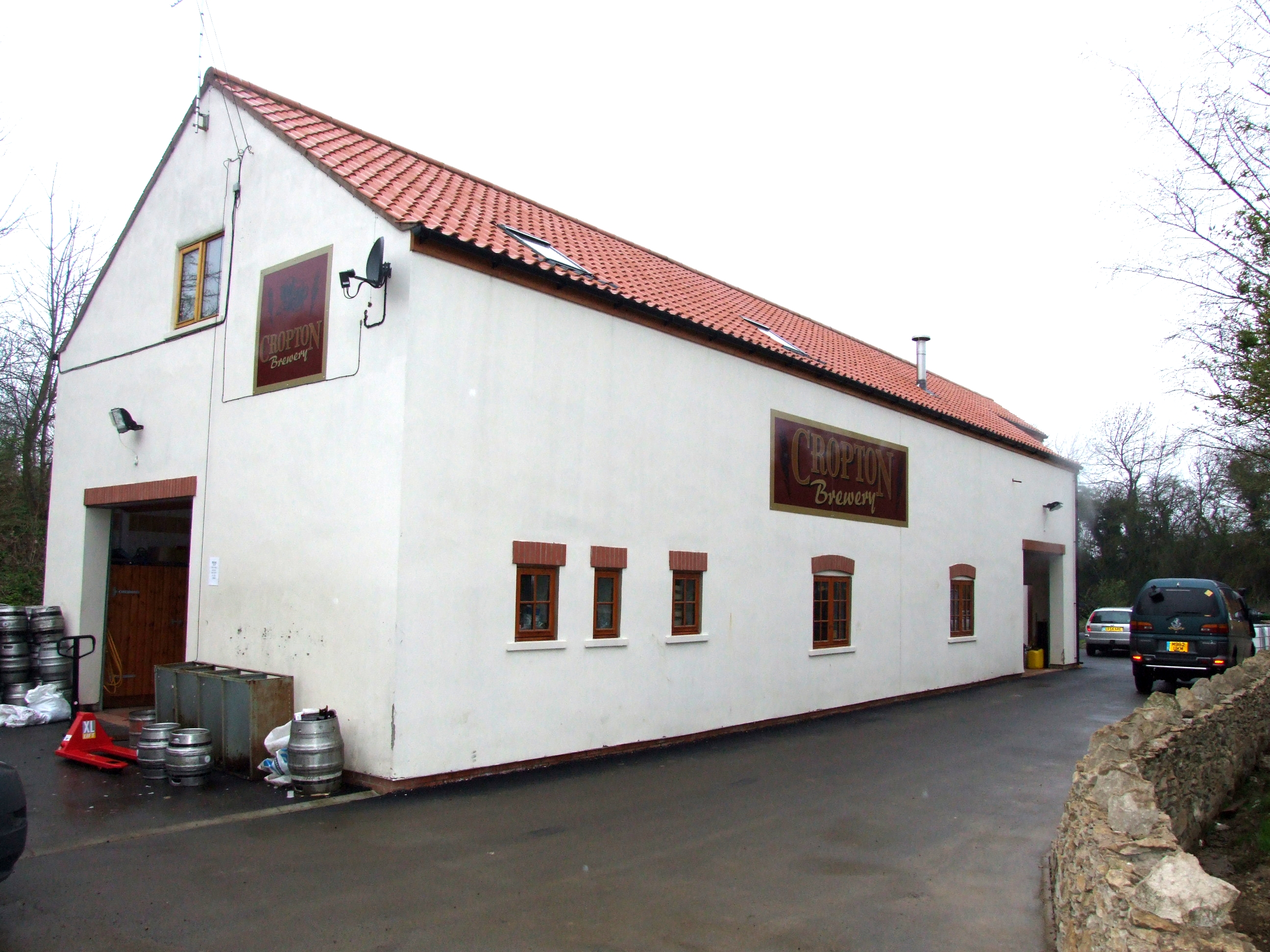
The Great Yorkshire Brewery
The Great Yorkshire Brewery (founded as Cropton Brewery) is situated in the village of Cropton in North Yorkshire, England. Located within the North York...

Sinnington railway station
Sinnington railway station was a minor station serving the village of Sinnington in North Yorkshire, England on the former Gilling and Pickering (G&P)...
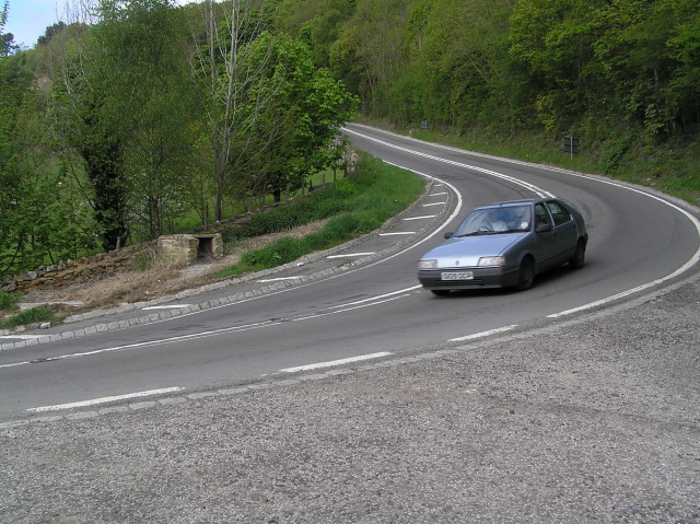
A170 road
The A170 is an A road in North Yorkshire, England that links Thirsk with Scarborough through Hambleton, Helmsley, Kirkbysmoorside, Pickering. The road...

Cropton
Cropton is a village and civil parish in the Ryedale district of North Yorkshire, England. It is on the border of the North York Moors National Park, 3...

Excalibur Pot
Excalibur Pot is a natural cave in the North York Moors area of England. It is the only major cave known in the North York Moors, and is formed within...

Wrelton
Wrelton is a village and civil parish in North Yorkshire, England. It is on the A170 road and 2 miles west of Pickering. == History == Wrelton is mentioned...
Nearby Amenities
Located within 500m of 54.276922,-0.86652821Have you been to Dogcroft Wood?
Leave your review of Dogcroft Wood below (or comments, questions and feedback).