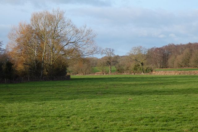
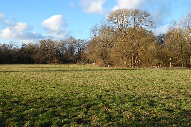
Bannister's Copse

Wood, Forest in Hampshire Hart

England

Bannister's Copse

Little house in the woods, Hazeley
Little house in the woods, Hazeley Credit: David Howard

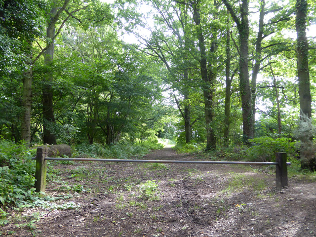
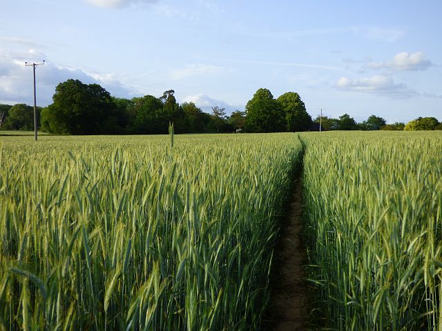
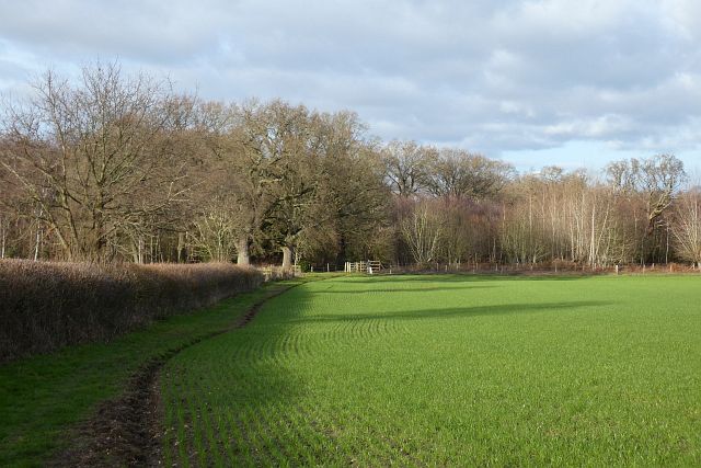
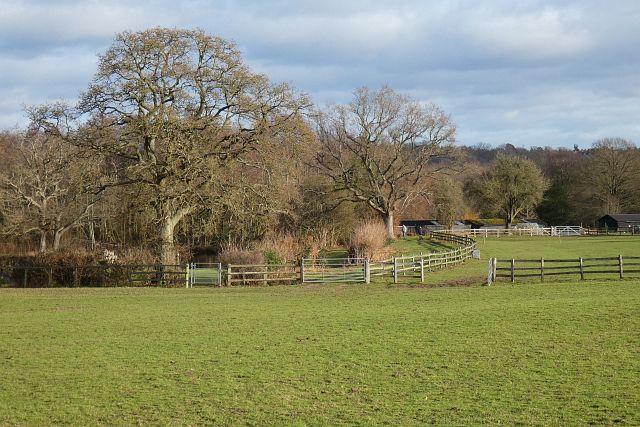
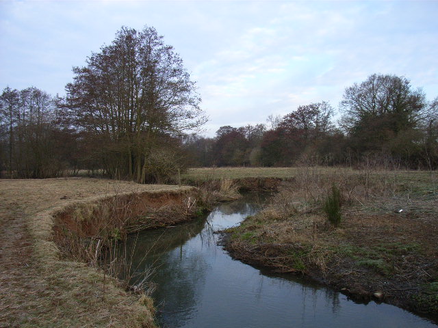
Bannister's Copse is a picturesque woodland located in Hampshire, England. Covering an area of approximately 50 acres, it is known for its natural beauty and diverse range of flora and fauna. This ancient woodland has a rich history dating back several centuries and has been carefully preserved as a nature reserve.

The woodland is characterized by its dense canopy of mature trees, including oak, beech, and ash, which provide a habitat for a variety of wildlife. The forest floor is covered in a lush carpet of bluebells, wild garlic, and ferns, creating a vibrant and enchanting atmosphere. Visitors can enjoy leisurely walks along the well-marked trails that wind through the woods, immersing themselves in the peaceful ambiance and taking in the sights and sounds of nature.

Bannister's Copse is home to a diverse range of wildlife, making it a popular destination for nature enthusiasts and birdwatchers. Visitors may spot various bird species, such as woodpeckers, owls, and thrushes, as well as mammals like deer, foxes, and badgers. The woodland also supports a rich insect population, including butterflies and dragonflies.

The management of Bannister's Copse is focused on conservation and preservation, ensuring that the woodland remains a haven for wildlife and a place of tranquility for visitors. As such, visitors are encouraged to respect the natural environment and follow the designated paths to minimize disturbance to the delicate ecosystem.

Overall, Bannister's Copse is a haven of natural beauty and biodiversity, offering visitors a chance to escape the hustle and bustle of everyday life and immerse themselves in the serenity of the Hampshire countryside.

If you have any feedback on the listing, please let us know in the comments section below.

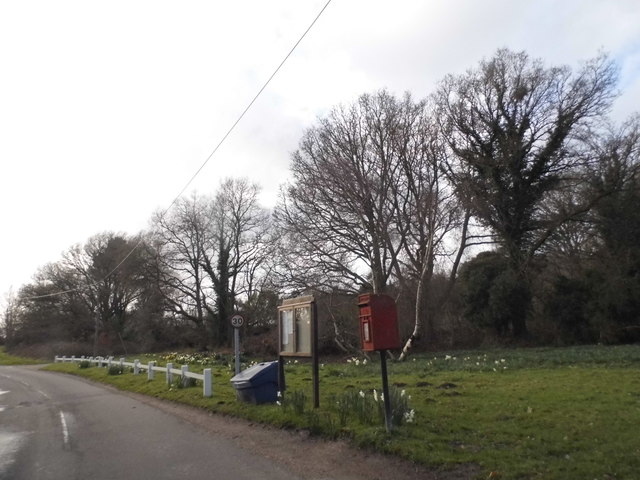
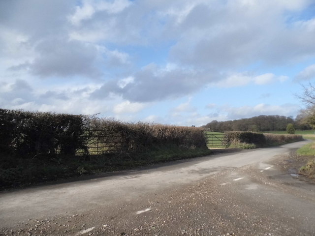
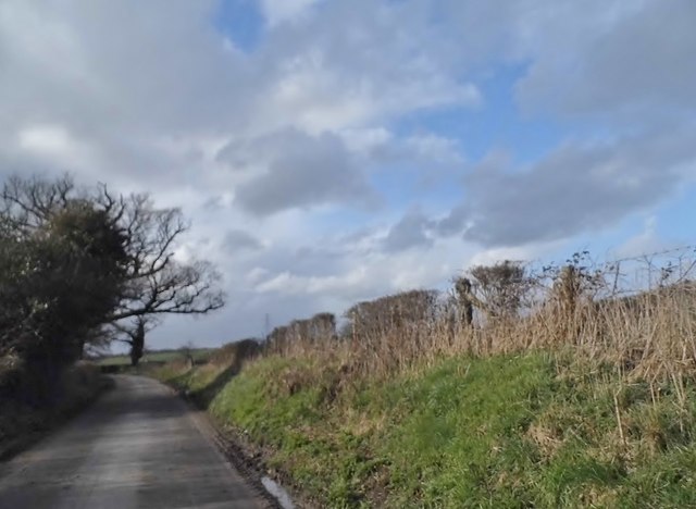
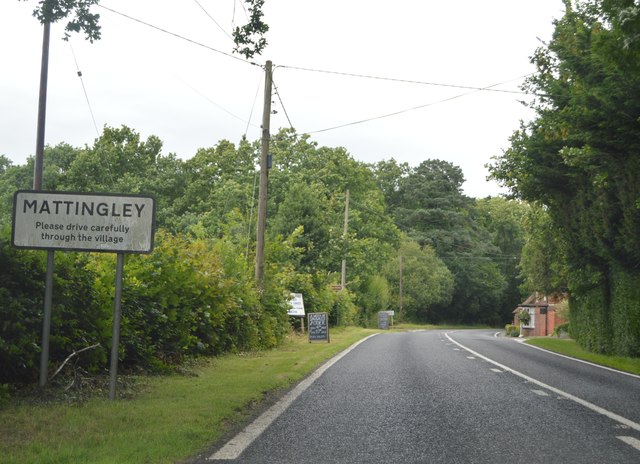
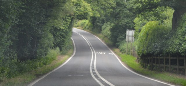
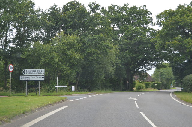
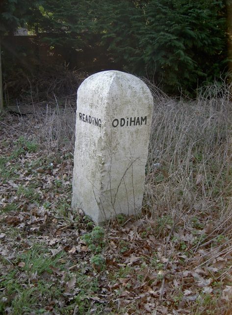
Bannister's Copse Images

Images are sourced within 2km of 51.322272/-0.94093474 or Grid Reference SU7358. Thanks to Geograph Open Source API. All images are credited.

Little house in the woods, Hazeley
Brickmakers Cottage, Hazeley Bottom
Large tree on Hazeley Bottom
Green on Hazeley Bottom
Red Hill, Hazeley
Red Hill, Hazeley
Unnamed road through Hazeley
Junction on the B3011, Hazeley Heath
Entering Mattingley, B3349 The B3349 runs 27 miles from Alton <a href="https://www.geograph.org.uk/photo/5212600">SU7038 : Junction of A339 & B3349</a> to Wokingham.
<span class="nowrap"><a title="http://www.sabre-roads.org.uk/wiki/index.php?title=B3349" rel="nofollow ugc noopener" href="http://www.sabre-roads.org.uk/wiki/index.php?title=B3349">Link</a><img style="margin-left:2px;" alt="External link" title="External link - shift click to open in new window" src="https://s1.geograph.org.uk/img/external.png" width="10" height="10"/></span>
Entering Mattingley, B3349
The B3349 runs 27 miles from Alton SU7038 : Junction of A339 & B3349 to Wokingham. LinkExternal link
B3349 The B3349 runs 27 miles from Alton <a href="https://www.geograph.org.uk/photo/5212600">SU7038 : Junction of A339 & B3349</a> to Wokingham.
<span class="nowrap"><a title="http://www.sabre-roads.org.uk/wiki/index.php?title=B3349" rel="nofollow ugc noopener" href="http://www.sabre-roads.org.uk/wiki/index.php?title=B3349">Link</a><img style="margin-left:2px;" alt="External link" title="External link - shift click to open in new window" src="https://s1.geograph.org.uk/img/external.png" width="10" height="10"/></span>
B3349
The B3349 runs 27 miles from Alton SU7038 : Junction of A339 & B3349 to Wokingham. LinkExternal link
B3349, northbound The B3349 runs 27 miles from Alton <a href="https://www.geograph.org.uk/photo/5212600">SU7038 : Junction of A339 & B3349</a> to Wokingham.
<span class="nowrap"><a title="http://www.sabre-roads.org.uk/wiki/index.php?title=B3349" rel="nofollow ugc noopener" href="http://www.sabre-roads.org.uk/wiki/index.php?title=B3349">Link</a><img style="margin-left:2px;" alt="External link" title="External link - shift click to open in new window" src="https://s1.geograph.org.uk/img/external.png" width="10" height="10"/></span>
B3349, northbound
The B3349 runs 27 miles from Alton SU7038 : Junction of A339 & B3349 to Wokingham. LinkExternal link
Woodland track off Stoken Lane Also a public footpath.
Woodland track off Stoken Lane
Also a public footpath.
Old Milestone by the B3349, Reading Road, Mattingley Green Carved stone post by the B3349, in parish of MATTINGLEY (HART District), Mattingley Green, North of Mattingley village, at junction to Hazley, on wide grass verge, on West side of road. Hook pillar, erected by the Basingstoke, Hartfordbridge & Blackwater (and Odiham) turnpike trust in the 19th century. 

Inscription reads:-
: READiNG / 10 / MILES : : ODIHAM / (5) / (MILES) :

Grade II listed.  
List Entry Number: 1243658 <span class="nowrap"><a title="https://historicengland.org.uk/listing/the-list/list-entry/1243658" rel="nofollow ugc noopener" href="https://historicengland.org.uk/listing/the-list/list-entry/1243658">Link</a><img style="margin-left:2px;" alt="External link" title="External link - shift click to open in new window" src="https://s1.geograph.org.uk/img/external.png" width="10" height="10"/></span>

Milestone Society National ID: HA_REOD10.
Old Milestone by the B3349, Reading Road, Mattingley Green
Carved stone post by the B3349, in parish of MATTINGLEY (HART District), Mattingley Green, North of Mattingley village, at junction to Hazley, on wide grass verge, on West side of road. Hook pillar, erected by the Basingstoke, Hartfordbridge & Blackwater (and Odiham) turnpike trust in the 19th century. Inscription reads:- : READiNG / 10 / MILES : : ODIHAM / (5) / (MILES) : Grade II listed. List Entry Number: 1243658 LinkExternal link Milestone Society National ID: HA_REOD10.
Farmland, Mattingley A footpath through a crop of rye to the south-west of Hound Green. The crop is quite high and the path quite narrow so it was fortunate that it had been dry.
Farmland, Mattingley
A footpath through a crop of rye to the south-west of Hound Green. The crop is quite high and the path quite narrow so it was fortunate that it had been dry.
The Leather Bottle, Mattingley An old and rather yellowed picture of The Leather Bottle which I can't accurately put a date to. It was in the days when breweries used to get rid of the traditional painted signs outside pubs and replace them with a boring corporate logo like here from Courage Brewery in nearby Reading. Later pictures show a trad sign is back. Date given is very approximate.
The Leather Bottle, Mattingley
An old and rather yellowed picture of The Leather Bottle which I can't accurately put a date to. It was in the days when breweries used to get rid of the traditional painted signs outside pubs and replace them with a boring corporate logo like here from Courage Brewery in nearby Reading. Later pictures show a trad sign is back. Date given is very approximate.
Wood and farmland, Mattingley A footpath follows the edge of this arable field to the east of Alder Moor Farm.
Wood and farmland, Mattingley
A footpath follows the edge of this arable field to the east of Alder Moor Farm.
Pasture, Mattingley Fields at Steven's Farm in Hazeley. A public footpath passes through the smaller gate.
Pasture, Mattingley
Fields at Steven's Farm in Hazeley. A public footpath passes through the smaller gate.
Pasture, Mattingley A field on the eastern bank of the River Whitewater.  Bannister's Copse is on the right.
Pasture, Mattingley
A field on the eastern bank of the River Whitewater. Bannister's Copse is on the right.
Pasture Mattingley A field and woodland to the north of Bottle Lane.
Pasture Mattingley
A field and woodland to the north of Bottle Lane.
Show me another place!

Bannister's Copse is located at Grid Ref: SU7358 (Lat: 51.322272, Lng: -0.94093474)

Administrative County: Hampshire

District: Hart

Police Authority: Hampshire

What 3 Words

///respected.manual.pencils. Near Hartley Wintney, Hampshire

Related Wikis

Hazeley

Hazeley is a village in the Hart District in Hampshire, England. It is 2.5 miles (3 km) away from Hartley Wintney and comes under the parish of Mattingley...

Hound Green

Hound Green is a village in the Hart District of Hampshire, England. It is in the civil parish of Mattingley. Its nearest town is Hook approximately 3...

Mattingley

Mattingley is a village and large civil parish in Hampshire, England. The village lies on the Reading road between the town of Hook and Reading. The village...

Chandlers Green

Chandlers Green is a hamlet in the civil parish of Mattingley in the Hart District of Hampshire, England. Its nearest town is Hook approximately 2.5 miles...
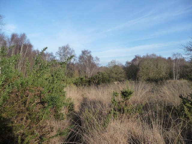
Hazeley Heath

Hazeley Heath is a 180.8-hectare (447-acre) biological Site of Special Scientific Interest west of Farnborough in Hampshire. It is part of Thames Basin...

Bramshill House

Bramshill House, in Bramshill, northeast Hampshire, England, is one of the largest and most important Jacobean prodigy house mansions in England. It was...

River Hart

The River Hart is a tributary of the River Whitewater in north Hampshire, England. It rises at Ashley Head spring in Crondall and flows north to meet the...

Police Staff College, Bramshill

The Police Staff College, Bramshill, Bramshill House, Bramshill, (near Hook) Hampshire, England, was until 2015 the principal police staff training establishment...

Nearby Amenities

Located within 500m of 51.322272,-0.94093474
Power: tower
Source: bing
Lat/Long: 51.3196824/-0.9376746
Power: tower
Source: bing
Lat/Long: 51.3220022/-0.937266
Power: tower
Source: bing
Lat/Long: 51.3244543/-0.9368452
Hazeley Farm
Landuse: farm
Note Retag: CS #48756035
Source: OS_OpenData_StreetView
Lat/Long: 51.3247585/-0.9365636
The data included in this document is from www.openstreetmap.org. The data is made available under ODbL.

Have you been to Bannister's Copse?

Leave your review of Bannister's Copse below (or comments, questions and feedback).