Box Clump
Wood, Forest in Oxfordshire
England
Box Clump

Box Clump is a woodland area located in Oxfordshire, England. Situated near the village of Box, it covers an approximate area of 100 acres, making it a significant forested region in the county. The forest is easily accessible and is often visited by both locals and tourists seeking a peaceful retreat in nature.
The woodland consists primarily of mature oak trees, interspersed with a variety of other tree species such as beech, ash, and birch. The dense canopy formed by these trees creates a cool and shady environment, providing a perfect habitat for numerous species of wildlife. Squirrels, badgers, deer, and a rich variety of bird species can be spotted within the forest.
Box Clump is also home to an array of plant life, with a diverse range of wildflowers and ferns carpeting the forest floor. The woodland is particularly vibrant during the spring and summer months when the flowers are in full bloom, creating a picturesque landscape.
Walking trails wind their way through the forest, allowing visitors to explore the area at their own pace. These well-maintained paths offer peaceful strolls amidst the tranquil surroundings and provide opportunities for birdwatching and wildlife spotting. Additionally, the forest is a popular spot for photographers and nature enthusiasts, who appreciate the beauty and serenity it offers.
In conclusion, Box Clump in Oxfordshire is a charming woodland area known for its mature oak trees, diverse wildlife, and beautiful plant life. With its accessibility and tranquil atmosphere, it presents an ideal location for nature lovers and individuals seeking a peaceful escape from the bustling city life.
If you have any feedback on the listing, please let us know in the comments section below.
Box Clump Images
Images are sourced within 2km of 51.754679/-0.93230123 or Grid Reference SP7306. Thanks to Geograph Open Source API. All images are credited.


Box Clump is located at Grid Ref: SP7306 (Lat: 51.754679, Lng: -0.93230123)
Unitary Authority: Buckinghamshire
Police Authority: Thames Valley
What 3 Words
///inflamed.worms.loops. Near Haddenham, Buckinghamshire
Nearby Locations
Related Wikis
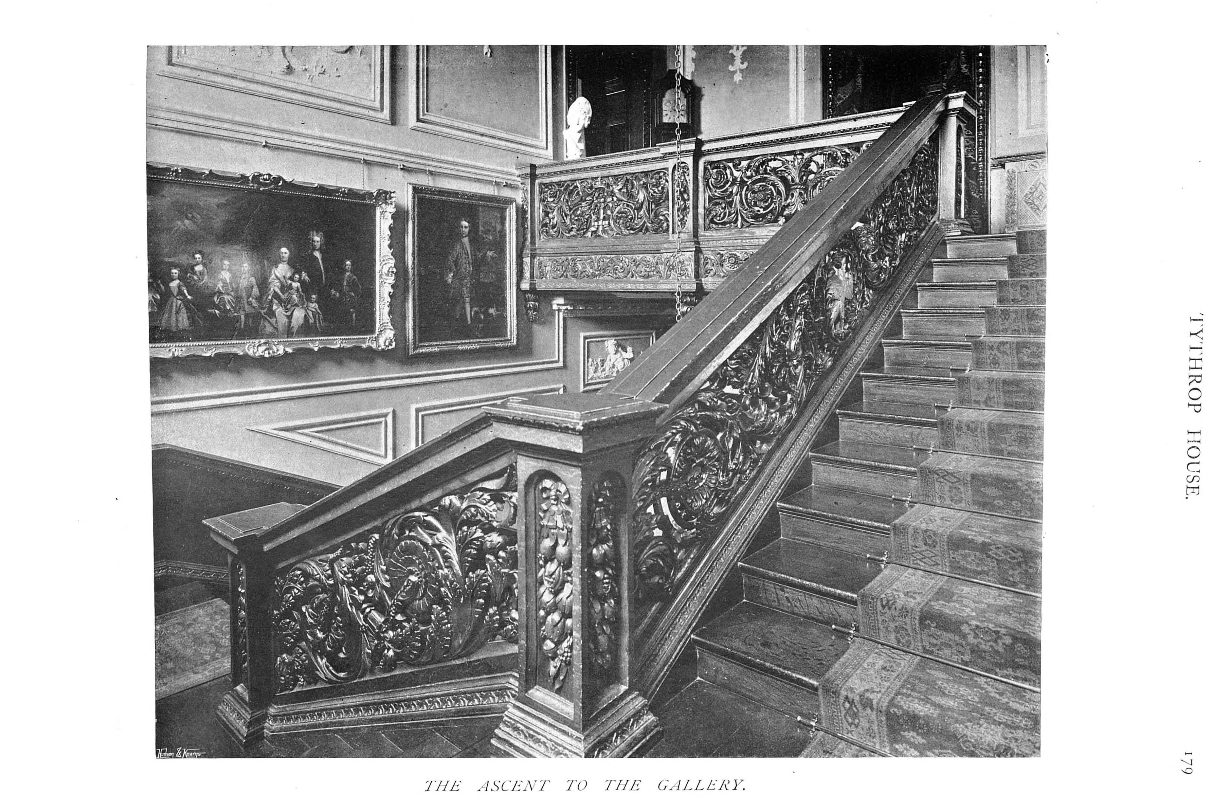
Tythrop Park
Tythrop Park, also known as Tythrop House, is a Grade I–listed 17th-century manor house, set in 51 acres (21 ha) of parkland, in Kingsey, Buckinghamshire...

Kingsey
Kingsey is a small village and civil parish in Aylesbury Vale district in Buckinghamshire, England. It is near the boundary with Oxfordshire, about two...

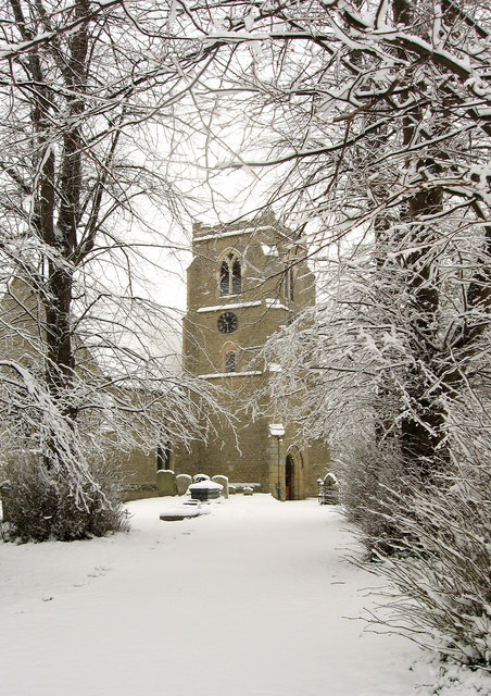
St Mary's Church, Haddenham
St Mary's Church is the Church of England parish church of Haddenham, Buckinghamshire It is a Grade I listed building. == History == Parts of the church...

Haddenham War Memorial
Haddenham War Memorial is located in Church End, Haddenham, Buckinghamshire, England. It is a grade II listed building with Historic England. It was built...

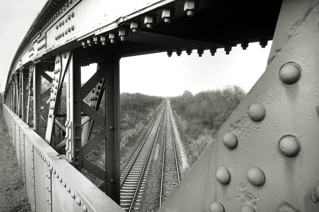
Haddenham railway station (Buckinghamshire)
Haddenham railway station was on the former Great Western and Great Central Joint Railway between Princes Risborough and Ashendon Junction. It was closed...
Towersey
Towersey is a village and civil parish about 1+1⁄2 miles (2.4 km) east of Thame in Oxfordshire. Towersey was part of Buckinghamshire until 1933, when the...

Ashendon Hundred
Ashendon Hundred was a hundred in the county of Buckinghamshire, England. It was situated in the centre of the county and bordering to the west the county...

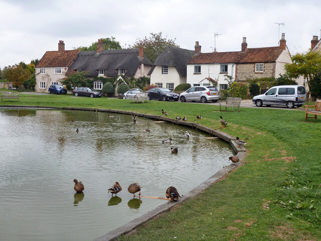
Haddenham, Buckinghamshire
Haddenham is a village and civil parish in west Buckinghamshire, England. It is about 5 miles (8 km) south-west of Aylesbury and 4 miles (6 km) north-east...
Nearby Amenities
Located within 500m of 51.754679,-0.93230123Have you been to Box Clump?
Leave your review of Box Clump below (or comments, questions and feedback).