Castle Hill Wood
Wood, Forest in Nottinghamshire Bassetlaw
England
Castle Hill Wood
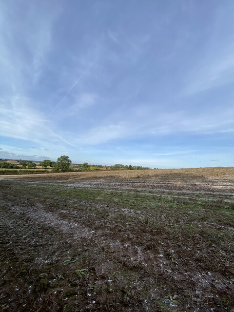
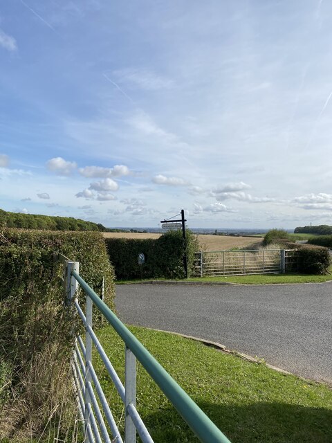
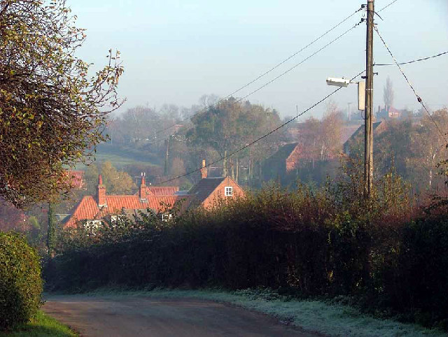
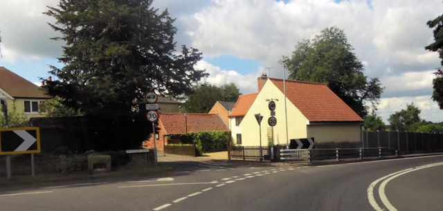
Castle Hill Wood is a picturesque forest located in Nottinghamshire, England. Covering an area of approximately 200 acres, it is known for its scenic beauty and diverse wildlife. The wood is situated on a hill, offering visitors breathtaking views of the surrounding countryside.
The woodland is predominantly composed of deciduous trees, including oak, beech, and birch, creating a rich and vibrant landscape throughout the year. During the spring months, the forest comes alive with a stunning display of bluebells, creating a carpet of vibrant color. In autumn, the wood is transformed into a golden paradise as the leaves change color and create a magical atmosphere.
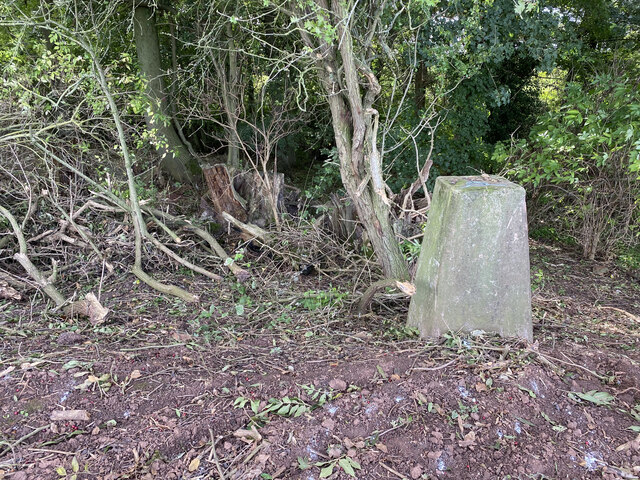
Castle Hill Wood is not only a haven for nature enthusiasts but also a place of historical significance. The wood surrounds an ancient motte-and-bailey castle, believed to have been built during the medieval period. Visitors can explore the remains of the castle and imagine the lives of its former inhabitants.
The wood is home to a wide range of wildlife, including various bird species such as woodpeckers, owls, and thrushes. Deer can often be spotted grazing in the meadows surrounding the forest. Additionally, the wood provides a habitat for smaller mammals, such as rabbits, squirrels, and foxes.
For those seeking outdoor activities, Castle Hill Wood offers several walking trails, allowing visitors to immerse themselves in the natural beauty of the forest. The peaceful atmosphere and stunning scenery make it a popular destination for hikers, photographers, and nature lovers alike.
If you have any feedback on the listing, please let us know in the comments section below.
Castle Hill Wood Images
Images are sourced within 2km of 53.316501/-0.89418604 or Grid Reference SK7380. Thanks to Geograph Open Source API. All images are credited.


Castle Hill Wood is located at Grid Ref: SK7380 (Lat: 53.316501, Lng: -0.89418604)
Administrative County: Nottinghamshire
District: Bassetlaw
Police Authority: Nottinghamshire
What 3 Words
///umpires.brink.raves. Near Retford, Nottinghamshire
Nearby Locations
Related Wikis
Little Gringley
Little Gringley is a hamlet in the Bassetlaw district of northern Nottinghamshire, England. It is 130 miles (210 km) north of London, 27 miles (43 km)...

Grove Hall
Grove Hall was an extended Tudor country house located between Retford and Grove in Nottinghamshire, England, and was part of an extensive estate. ��2...

Grove, Nottinghamshire
Grove is a small village and civil parish, located about 2 miles (3.2 km) south-west of Retford, Nottinghamshire. The population of the civil parish as...

St Helen's Church, Grove
St. Helen's Church, Grove is a parish church in the Church of England in Grove, Nottinghamshire. The church is Grade II listed by the Department for Digital...
Hayton, Nottinghamshire
Hayton is a village in Nottinghamshire, England. It is located 4 miles north-east of Retford. According to the 2001 census it had a population (including...
Welham, Nottinghamshire
Welham is a hamlet in the civil parish of Clarborough and Welham, of Bassetlaw district, in the county of Nottinghamshire, England. It is 130 miles north...
Retford United F.C.
Retford United Football Club (also known as 'The Badgers') are an English football club based at Cannon Park in Retford, Nottinghamshire. They currently...

Clarborough and Welham
Clarborough and Welham is a civil parish in the Bassetlaw district, in the county of Nottinghamshire, England. The parish includes the village of Clarborough...
Related Videos
University of Cumbria | Lowland Study Tour (Day 2)
Part 2 of 3 Following from our trip to the Chatsworth Estate, we visited Treswell Wood Nature Reserve located in Nottinghamshire.

CLARBOROUGH AND WELHAM: Bassetlaw Parish #53 of 66
Completing the Eastern side of Retford today we have a parish which contains two settlements. We begin with the larger ...

GROVE: Bassetlaw Parish #13 of 66
Swinging into the South East of Retford with this one, as Bassetlaw starts to open up now and we're getting further into the ...

LCSoD trailer (2016)
Used for 'Through the Ages'
Nearby Amenities
Located within 500m of 53.316501,-0.89418604Have you been to Castle Hill Wood?
Leave your review of Castle Hill Wood below (or comments, questions and feedback).