Grant's Plantation
Wood, Forest in Oxfordshire South Oxfordshire
England
Grant's Plantation
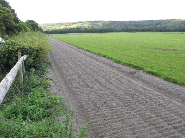
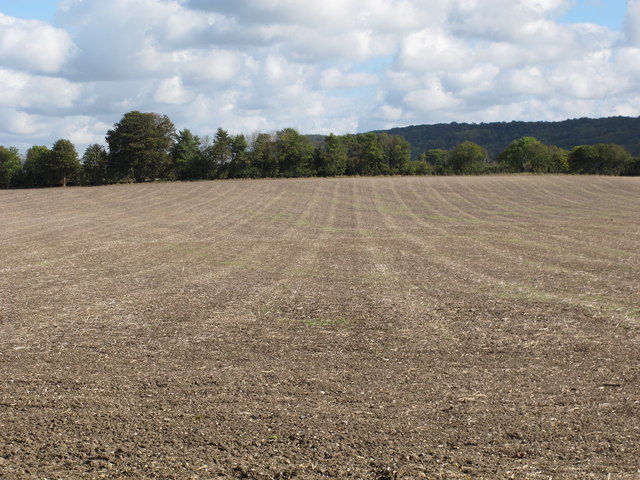
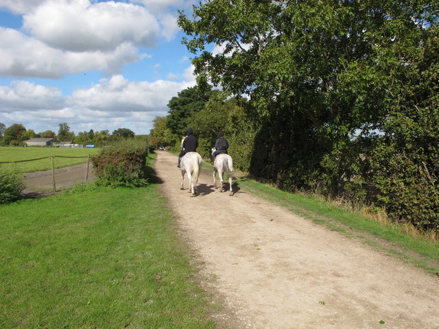
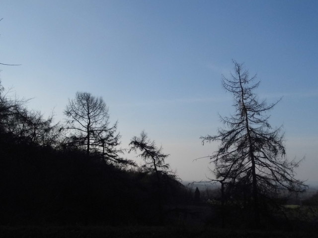
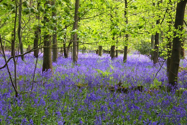
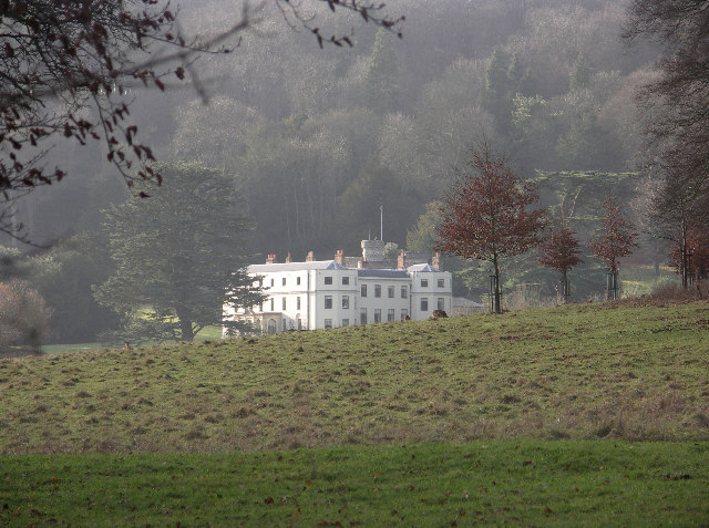
Grant's Plantation is a sprawling woodland area located in Oxfordshire, England. Covering an expansive area, it is known for its lush greenery, dense trees, and diverse range of plant species. The plantation is situated in a picturesque setting, surrounded by rolling hills and scenic landscapes, making it a popular destination for nature enthusiasts and hikers.
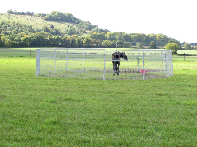
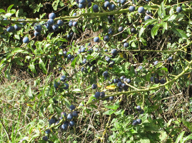
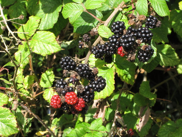
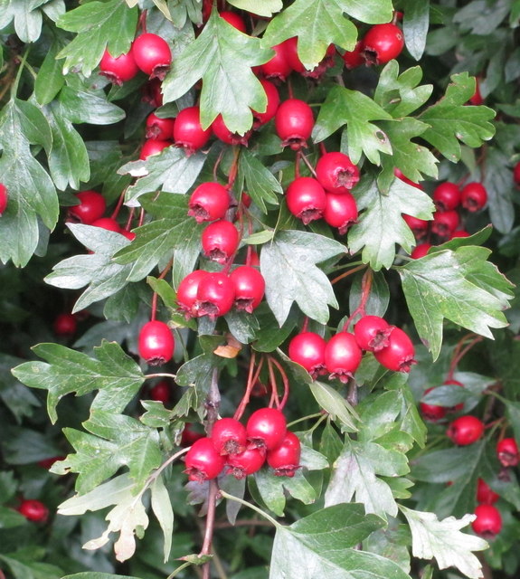
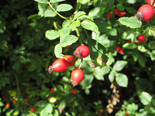
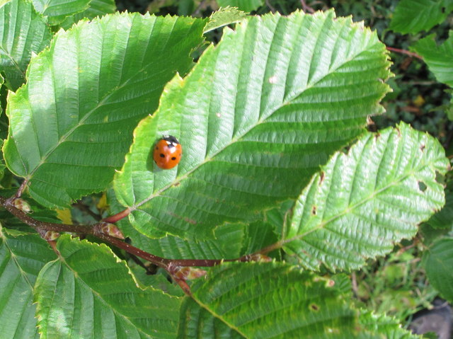
The woodland is primarily composed of various tree species such as oak, beech, and birch, creating a rich and vibrant ecosystem. This diversity of trees provides a home to numerous wildlife species, including birds, mammals, and insects. Visitors to Grant's Plantation can expect to encounter a wide array of fauna, from deer and foxes to woodpeckers and owls.
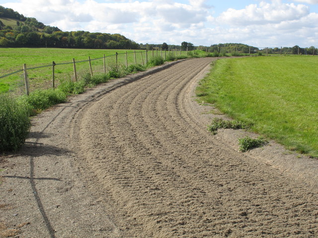
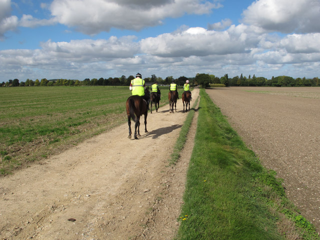
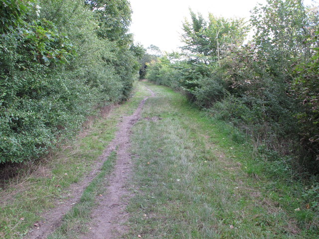
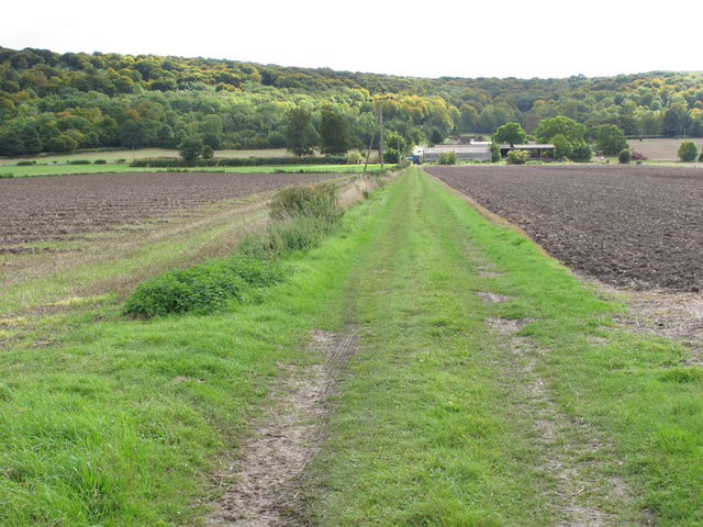
The plantation offers several well-maintained walking trails, allowing visitors to explore the woodland at their own pace. These trails wind through the forest, leading to hidden clearings and tranquil streams, providing a serene and peaceful atmosphere. The surrounding natural beauty and tranquil ambiance make Grant's Plantation an ideal spot for picnics, family outings, and photography enthusiasts.
In addition to its natural allure, Grant's Plantation also serves as an educational site. It hosts workshops and events that aim to promote environmental awareness and conservation efforts. These activities include guided nature walks, wildlife spotting sessions, and tree planting initiatives.
Overall, Grant's Plantation in Oxfordshire is a breathtaking woodland area that offers a unique blend of natural beauty, recreational opportunities, and educational experiences. It is a haven for nature lovers and a valuable asset to the local community.
If you have any feedback on the listing, please let us know in the comments section below.
Grant's Plantation Images
Images are sourced within 2km of 51.663572/-0.93863666 or Grid Reference SU7396. Thanks to Geograph Open Source API. All images are credited.
Grant's Plantation is located at Grid Ref: SU7396 (Lat: 51.663572, Lng: -0.93863666)
Administrative County: Oxfordshire
District: South Oxfordshire
Police Authority: Thames Valley
What 3 Words
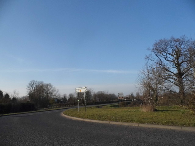
///impressed.crowns.universes. Near Stokenchurch, Buckinghamshire
Nearby Locations
Related Wikis

Aston Rowant Cutting
Aston Rowant Cutting is a 3.5-hectare (8.6-acre) geological Site of Special Scientific Interest south of Aston Rowant in Oxfordshire. It is a Geological...

Aston Rowant National Nature Reserve
Aston Rowant National Nature Reserve is located on the north-west escarpment of the Chiltern Hills, in the Chilterns Area of Outstanding Natural Beauty...
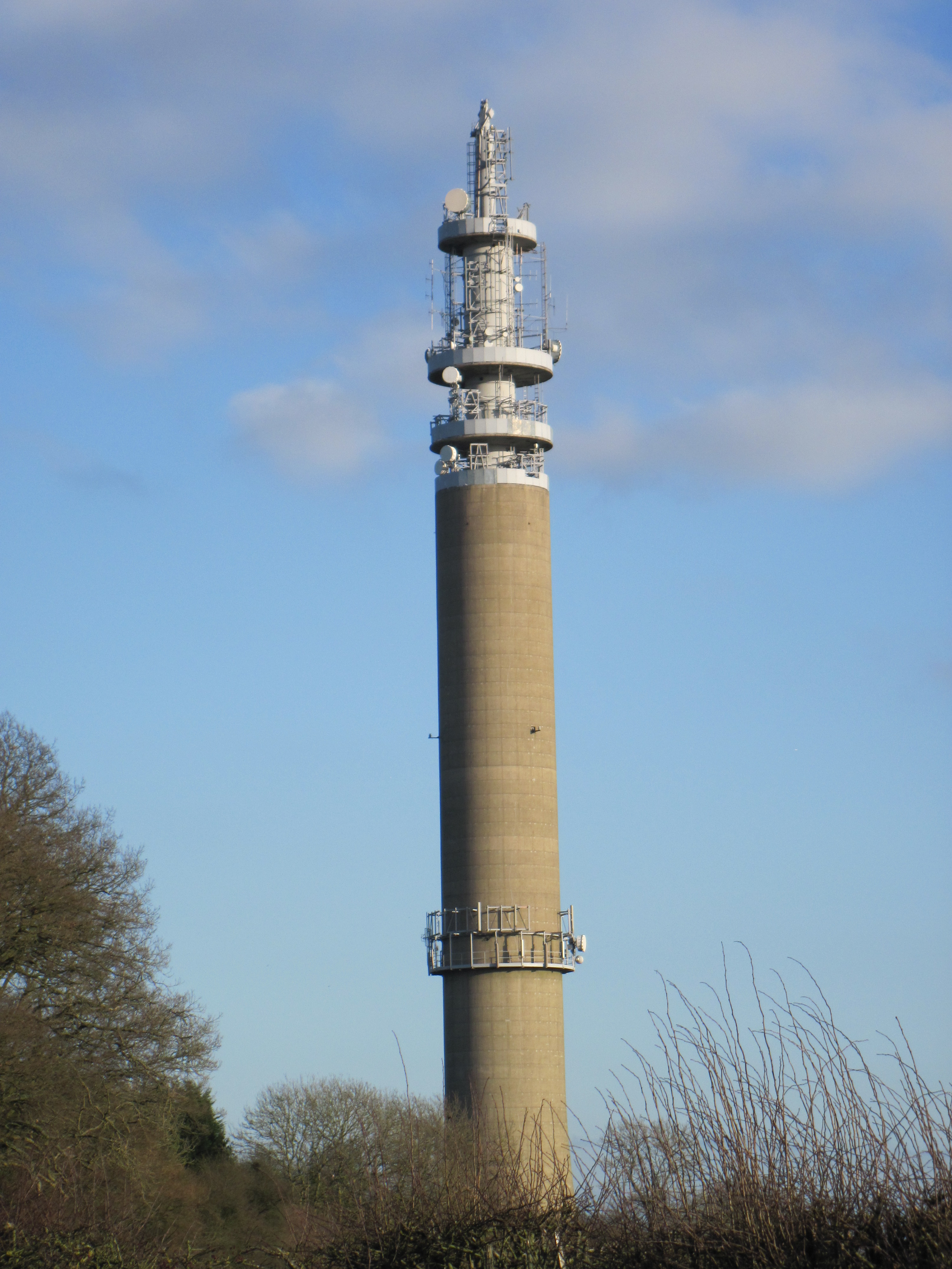
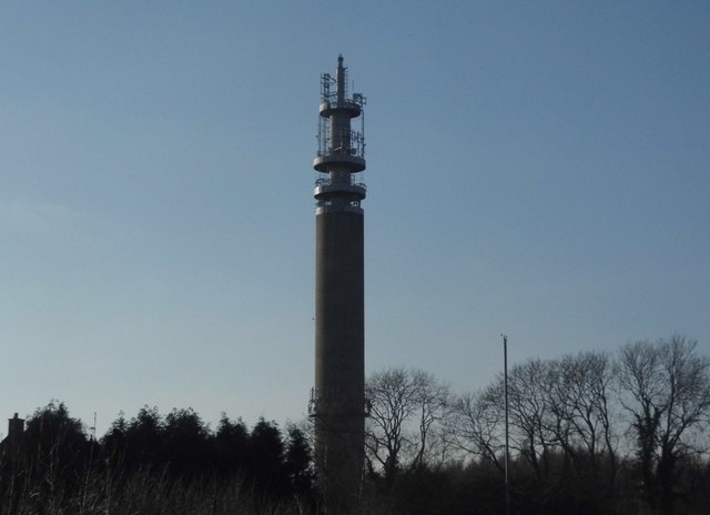
Stokenchurch BT Tower
Stokenchurch BT Tower is a telecommunications tower built of reinforced concrete at Stokenchurch, Buckinghamshire, England. Reaching to 340.5 metres (1...
Cowleaze Wood
Cowleaze Wood is a 70-acre (28 ha) woodland in the Chiltern Hills, a chalk ridge in South East England. The wood is in the civil parish of Lewknor, in...

Aston Rowant railway station
Aston Rowant railway station was opened in 1872 and was a part of the Watlington and Princes Risborough Railway. Having closed in 1961, there have been...

Chiltern Hills
The Chiltern Hills are a chalk escarpment in the UK northwest of London, covering 660 square miles (1,700 km2) across Oxfordshire, Buckinghamshire, Hertfordshire...

Lewknor Bridge Halt railway station
Lewknor Bridge Halt railway station was a halt on the Watlington and Princes Risborough Railway which the Great Western Railway opened in 1906 to serve...
Wormsley Park
Wormsley is a private estate of Mark Getty and his family, set in 2,700-acre (1,100 ha) of rolling countryside in the Chiltern Hills of Buckinghamshire...
Nearby Amenities
Located within 500m of 51.663572,-0.93863666Have you been to Grant's Plantation?
Leave your review of Grant's Plantation below (or comments, questions and feedback).