Ben Wood
Wood, Forest in Yorkshire Ryedale
England
Ben Wood
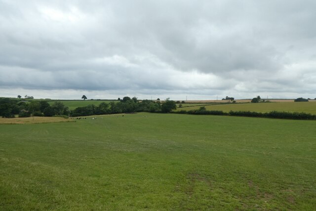
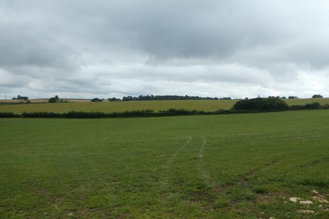
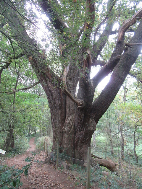
Ben Wood, located in Yorkshire, is a picturesque forest area known for its stunning natural beauty and abundant wildlife. Spanning over several acres, this woodland paradise offers a peaceful retreat for nature enthusiasts and adventurers alike.
The forest is characterized by its dense canopy of towering trees, primarily consisting of oak, beech, and pine species. The foliage creates a lush and vibrant environment, especially during the spring and summer months when the forest floor is carpeted with a plethora of wildflowers.
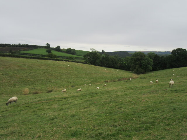
Ben Wood is home to a rich diversity of wildlife, providing a sanctuary for numerous species. Birdwatchers will delight in the opportunity to spot a variety of avian residents, including woodpeckers, owls, and buzzards. Squirrels can be seen scampering among the branches, while elusive deer occasionally make appearances, adding to the allure of the forest.
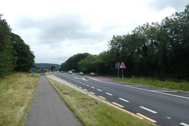
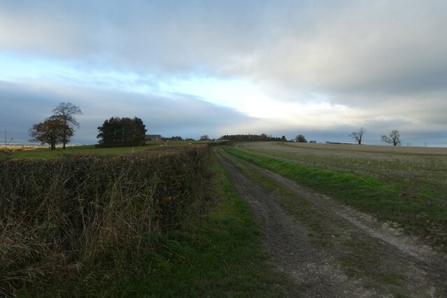
Visitors to Ben Wood can explore its many walking trails, which wind their way through the forest, offering breathtaking views and glimpses of the surrounding countryside. The paths are well-maintained and suitable for all ages and abilities.
The forest also offers various recreational activities, such as picnicking and camping, allowing visitors to fully immerse themselves in the natural surroundings. There are designated areas for barbecues, providing a perfect spot to enjoy a meal amidst the serene ambiance.
In summary, Ben Wood is a remarkable forest in Yorkshire, offering a tranquil escape from the bustling city life. With its verdant landscapes, diverse wildlife, and recreational opportunities, it is a must-visit destination for nature enthusiasts and those seeking solace in the great outdoors.
If you have any feedback on the listing, please let us know in the comments section below.
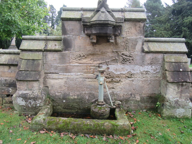
Ben Wood Images
Images are sourced within 2km of 54.089147/-0.88207851 or Grid Reference SE7366. Thanks to Geograph Open Source API. All images are credited.


Ben Wood is located at Grid Ref: SE7366 (Lat: 54.089147, Lng: -0.88207851)
Division: North Riding
Administrative County: North Yorkshire
District: Ryedale
Police Authority: North Yorkshire
What 3 Words
///collapsed.zebra.buckling. Near Malton, North Yorkshire
Nearby Locations
Related Wikis
Castle Howard railway station
Castle Howard railway station was a minor railway station serving the village of Welburn and the stately home at Castle Howard in North Yorkshire, England...
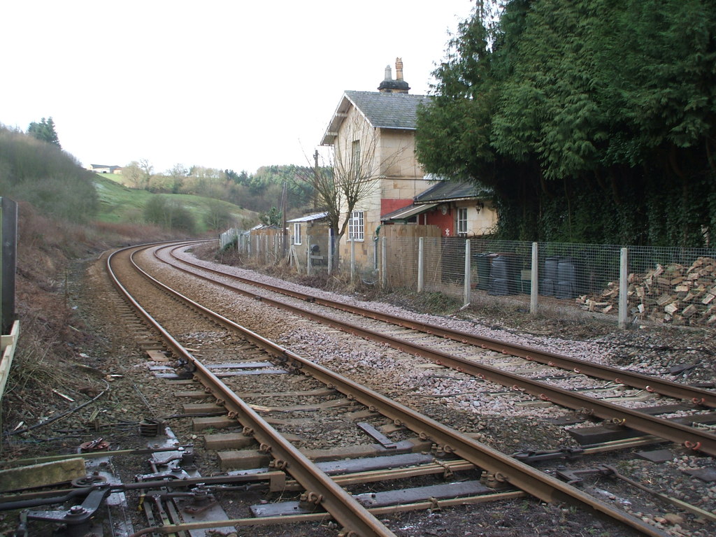
Kirkham Abbey railway station
Kirkham Abbey railway station was a minor railway station serving the village of Kirkham in North Yorkshire, England on the York to Scarborough Line and...
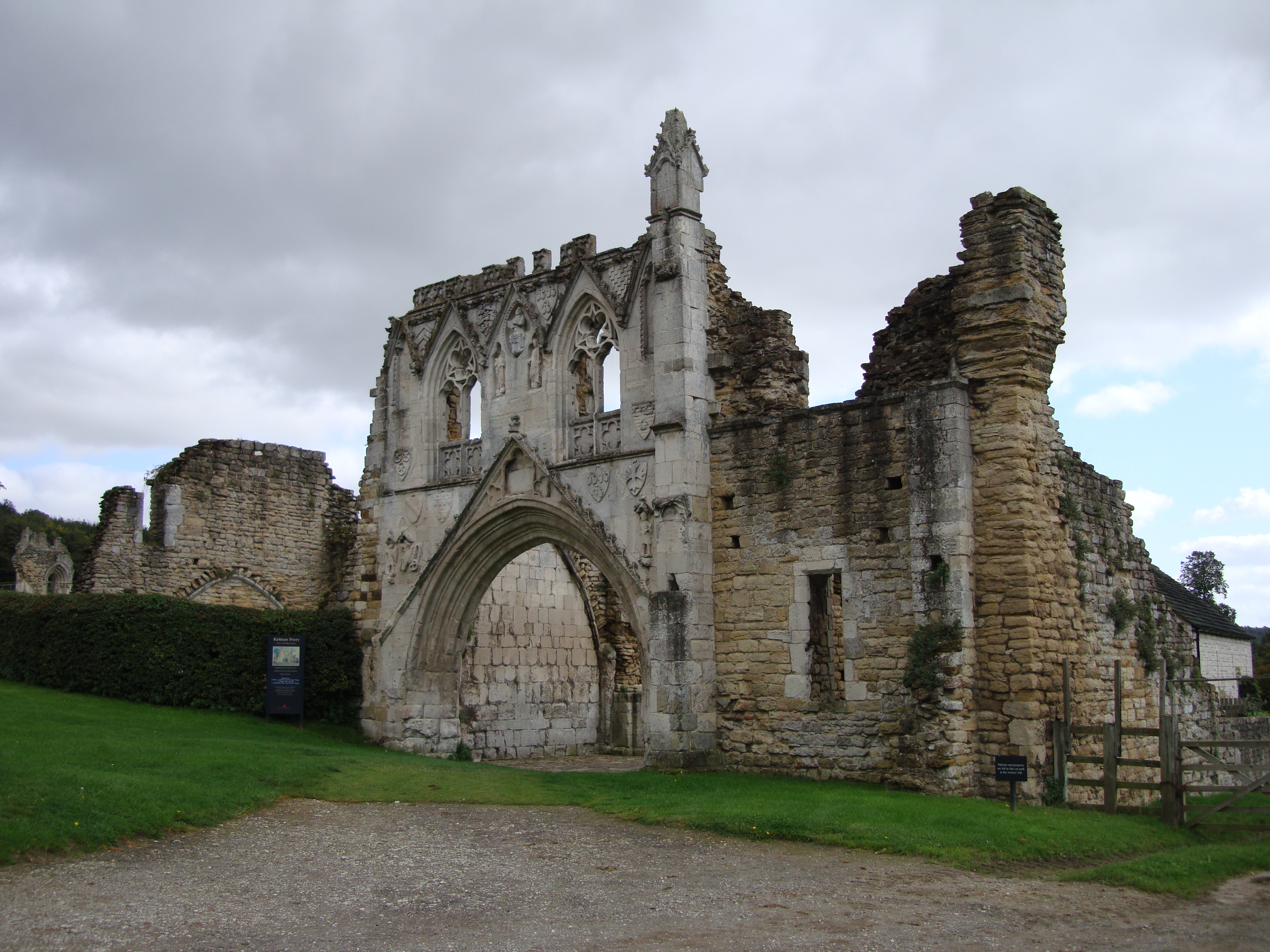
Kirkham Priory
The ruins of Kirkham Priory are situated on the banks of the River Derwent, at Kirkham, North Yorkshire, England. The Augustinian priory was founded in...

Kirkham, North Yorkshire
Kirkham is a village in the civil parish of Westow, in North Yorkshire, England, close to Malton, situated in the Howardian Hills alongside the River Derwent...
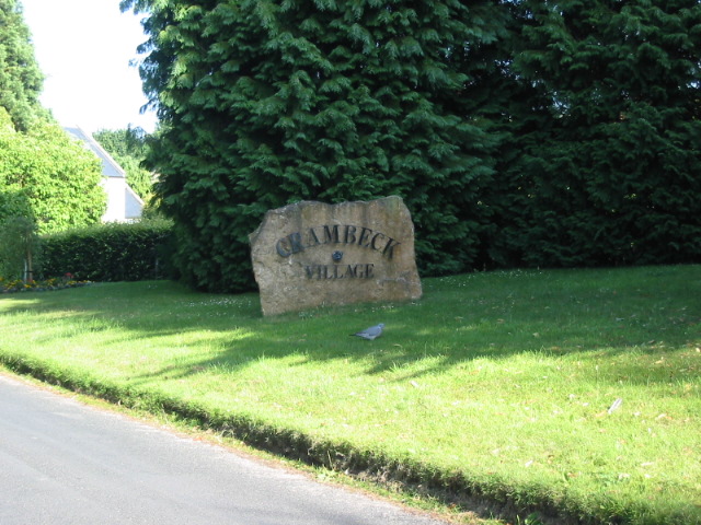
Crambeck
Crambeck near Crambe and Malton in Yorkshire is near the River Derwent. == History == === Roman === Crambeck is famous in antiquity as having been the Roman...
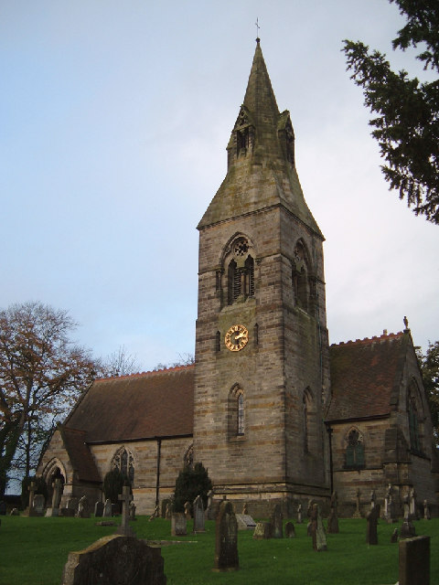
Whitwell-on-the-Hill
Whitwell-on-the-Hill is a village and civil parish in the Ryedale district, in the county of North Yorkshire, England. The civil parish population (including...

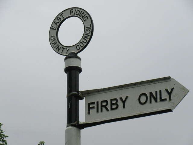
Firby, Ryedale
Firby is a village in the civil parish of Westow, in North Yorkshire, England, 4 miles (6 km) south west of Malton. Firby was historically a township in...

Crambe, North Yorkshire
Crambe is a village and civil parish in the Ryedale district of North Yorkshire, England. It is near the River Derwent and 6 miles (10 km) south-west of...
Nearby Amenities
Located within 500m of 54.089147,-0.88207851Have you been to Ben Wood?
Leave your review of Ben Wood below (or comments, questions and feedback).