Birchen Copse

Wood, Forest in Hampshire Hart

England

Birchen Copse

Wellington's Monument The Duke of Wellington Commemorative Column stands at the entrance to Stratfield Saye. The column is topped by a bronze statue by Baron Carlo Marochetti which was erected in 1863.
Wellington's Monument Credit: Steve Daniels

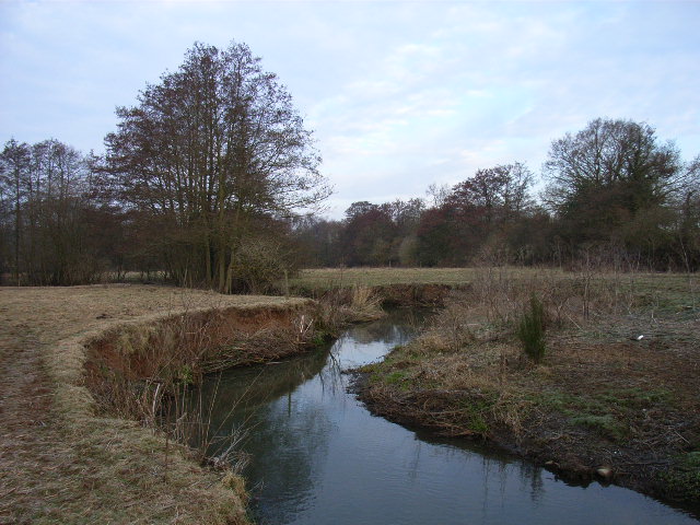
Birchen Copse is a picturesque woodland located in Hampshire, England. Covering an area of approximately 100 acres, the copse is known for its stunning natural beauty and diverse range of flora and fauna.

The woodland is primarily composed of birch trees, hence its name, but also boasts a mix of other deciduous trees such as oak, beech, and ash. The canopy of the copse creates a shaded and cool environment, providing a perfect habitat for a variety of woodland plants and wildflowers, including bluebells, primroses, and wood anemones, which bloom in abundance during springtime.

Birchen Copse is home to a rich array of wildlife, making it a popular destination for nature enthusiasts and birdwatchers. Numerous bird species can be spotted here, including woodpeckers, nuthatches, and various species of tit. The copse also provides a habitat for mammals such as deer, foxes, badgers, and squirrels. It is not uncommon to encounter these animals while exploring the woodland trails.

The copse is crisscrossed by a network of footpaths and trails, allowing visitors to explore its beauty at their own pace. These paths wind their way through the trees, leading to open glades and peaceful clearings where visitors can sit and enjoy the tranquility of the surroundings. The copse also features a small stream, adding to its charm and providing a refreshing spot for wildlife and visitors alike.

Birchen Copse is a cherished natural gem in Hampshire, offering a peaceful retreat for those seeking solace in nature's embrace.

If you have any feedback on the listing, please let us know in the comments section below.

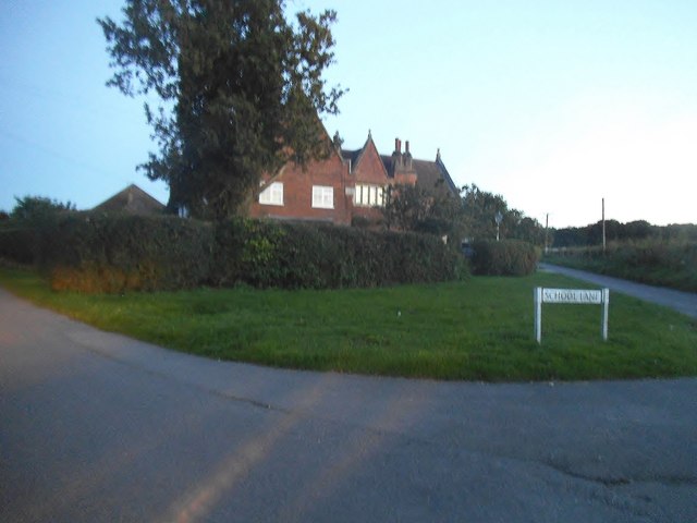
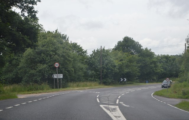
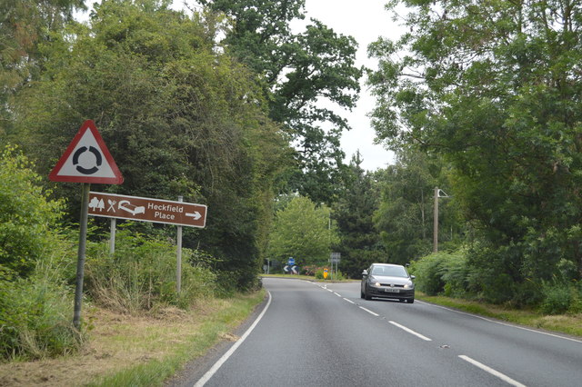
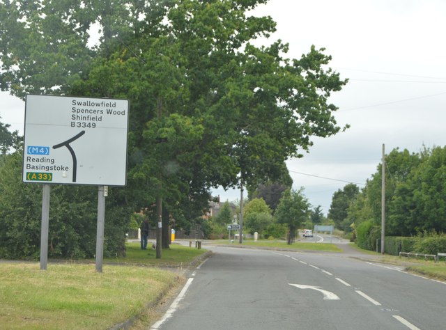
Birchen Copse Images

Images are sourced within 2km of 51.357314/-0.95194686 or Grid Reference SU7362. Thanks to Geograph Open Source API. All images are credited.

Wellington's Monument The Duke of Wellington Commemorative Column stands at the entrance to Stratfield Saye. The column is topped by a bronze statue by Baron Carlo Marochetti which was erected in 1863.
Wellington's Monument
The Duke of Wellington Commemorative Column stands at the entrance to Stratfield Saye. The column is topped by a bronze statue by Baron Carlo Marochetti which was erected in 1863.
Roundabout on the A339, Riseley
School Road at the junction of School Lane, Riseley
The Causeway at the junction of Basingstoke Road Looking towards the Wellington Monument
The Causeway at the junction of Basingstoke Road
Looking towards the Wellington Monument
The 'Wellington' turning on the A33 Travelling southwards on the A33 with turning to the left to Wellington Riding Stables.
The 'Wellington' turning on the A33
Travelling southwards on the A33 with turning to the left to Wellington Riding Stables.
Bends on the A33 Taken just past the junction with The Causeway on the left and the Wellington Monument (not in view here) on the right.
Bends on the A33
Taken just past the junction with The Causeway on the left and the Wellington Monument (not in view here) on the right.
A33, southbound The A33 is a 52 mile long road from Reading to Southampton.
It is split into two distinct sections - the first is the main cross country route from Reading to Basingstoke, and the second the ancient Roman road from Popham, through Winchester, to Southampton. 
<span class="nowrap"><a title="http://www.sabre-roads.org.uk/wiki/index.php?title=A33" rel="nofollow ugc noopener" href="http://www.sabre-roads.org.uk/wiki/index.php?title=A33">Link</a><img style="margin-left:2px;" alt="External link" title="External link - shift click to open in new window" src="https://s1.geograph.org.uk/img/external.png" width="10" height="10"/></span>
A33, southbound
The A33 is a 52 mile long road from Reading to Southampton. It is split into two distinct sections - the first is the main cross country route from Reading to Basingstoke, and the second the ancient Roman road from Popham, through Winchester, to Southampton. LinkExternal link
A33 near Wellington's Monument The A33 is a 52 mile long road from Reading to Southampton.
It is split into two distinct sections - the first is the main cross country route from Reading to Basingstoke, and the second the ancient Roman road from Popham, through Winchester, to Southampton. 
<span class="nowrap"><a title="http://www.sabre-roads.org.uk/wiki/index.php?title=A33" rel="nofollow ugc noopener" href="http://www.sabre-roads.org.uk/wiki/index.php?title=A33">Link</a><img style="margin-left:2px;" alt="External link" title="External link - shift click to open in new window" src="https://s1.geograph.org.uk/img/external.png" width="10" height="10"/></span>
A33 near Wellington's Monument
The A33 is a 52 mile long road from Reading to Southampton. It is split into two distinct sections - the first is the main cross country route from Reading to Basingstoke, and the second the ancient Roman road from Popham, through Winchester, to Southampton. LinkExternal link
Car park at Wellington Country Park
The lake at Wellington Country Park
B3349 The B3349 runs 27 miles from Alton <a href="https://www.geograph.org.uk/photo/5212600">SU7038 : Junction of A339 & B3349</a> to Wokingham.
<span class="nowrap"><a title="http://www.sabre-roads.org.uk/wiki/index.php?title=B3349" rel="nofollow ugc noopener" href="http://www.sabre-roads.org.uk/wiki/index.php?title=B3349">Link</a><img style="margin-left:2px;" alt="External link" title="External link - shift click to open in new window" src="https://s1.geograph.org.uk/img/external.png" width="10" height="10"/></span>
B3349
The B3349 runs 27 miles from Alton SU7038 : Junction of A339 & B3349 to Wokingham. LinkExternal link
Entering Berkshire, Odiham Rd
Odiham Rd
Odiham Rd
The Bull at Riseley
The Bull at Riseley
Small Cart at Park Corner Farm Park Corner Farm is now a farm shop / cafe / children's zoo sort of place. This is by the entrance.
The farm is in the corner of Stratfield Saye Park on the Wellington Estate.
Small Cart at Park Corner Farm
Park Corner Farm is now a farm shop / cafe / children's zoo sort of place. This is by the entrance. The farm is in the corner of Stratfield Saye Park on the Wellington Estate.
Fields at Park Corner Farm Part of the Wellington Estate.
Fields at Park Corner Farm
Part of the Wellington Estate.
Show me another place!

Birchen Copse is located at Grid Ref: SU7362 (Lat: 51.357314, Lng: -0.95194686)

Administrative County: Hampshire

District: Hart

Police Authority: Hampshire

What 3 Words

///since.friction.scribble. Near Swallowfield, Berkshire

Related Wikis

Wellington Country Park

Wellington Country Park is a country park in Riseley, near Reading. == Overview == The park consists of 350 acres (1.4 km2) of coniferous and deciduous...

The Marshes Local Nature Reserve

The Marshes is a 2.2-hectare (5.4-acre) Local Nature Reserve south of Swallowfield in Berkshire. It is owned and managed by Swallowfield Parish Council...

Riseley, Berkshire

Riseley is a village in the English county of Berkshire, adjacent to the border with Hampshire. It is located around 6 miles (9.7 km) south of Reading...

Heckfield Heath

Heckfield Heath is a hamlet in the civil parish of Heckfield in the Hart district of Hampshire, England. Its nearest town is Hook, which lies approximately...

River Whitewater

The River Whitewater rises at springs near Bidden Grange Farm between Upton Grey and Greywell in Hampshire, England. It flows northeast and is a tributary...

Heckfield Place

A country estate of 438 acres, the heart of Heckfield Place is a Georgian Grade II listed manor house, located in Hampshire, United Kingdom. It was built...

River Hart

The River Hart is a tributary of the River Whitewater in north Hampshire, England. It rises at Ashley Head spring in Crondall and flows north to meet the...

Swallowfield Meadow

Swallowfield Meadow is a 0.7-hectare (1.7-acre) Local Nature Reserve in Swallowfield, south of Reading in Berkshire. It is owned and managed by Swallowfield...

Nearby Amenities

Located within 500m of 51.357314,-0.95194686
Bench
Lat/Long: 51.3579206/-0.9480209
Bench
Lat/Long: 51.3581046/-0.9473194
Bench
Lat/Long: 51.3589035/-0.9467557
Cafe
Lat/Long: 51.3598297/-0.9545794
Toilets
Lat/Long: 51.3597616/-0.9546105
Public Transport: station
Railway: station
Train: yes
Usage: tourism
Lat/Long: 51.3584485/-0.9518419
The data included in this document is from www.openstreetmap.org. The data is made available under ODbL.

Have you been to Birchen Copse?

Leave your review of Birchen Copse below (or comments, questions and feedback).