Eller Carr
Wood, Forest in Yorkshire
England
Eller Carr
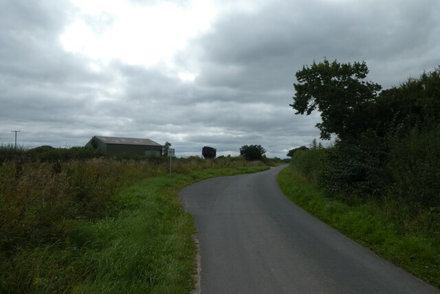
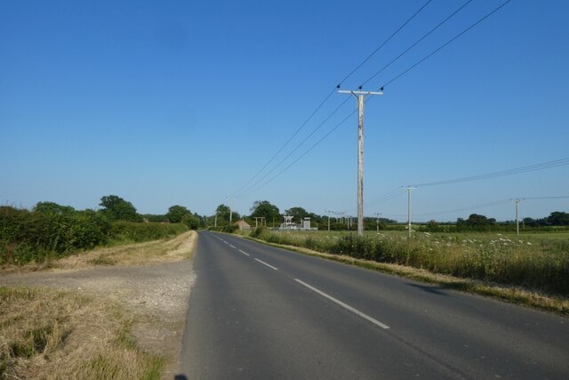
Eller Carr, located in Yorkshire, is a picturesque woodland area known for its tranquil and captivating beauty. Nestled in the heart of the county, this forested region offers a haven for nature enthusiasts and those seeking a peaceful retreat. With its dense foliage, towering trees, and meandering pathways, Eller Carr exudes an enchanting atmosphere that transports visitors to a different world.
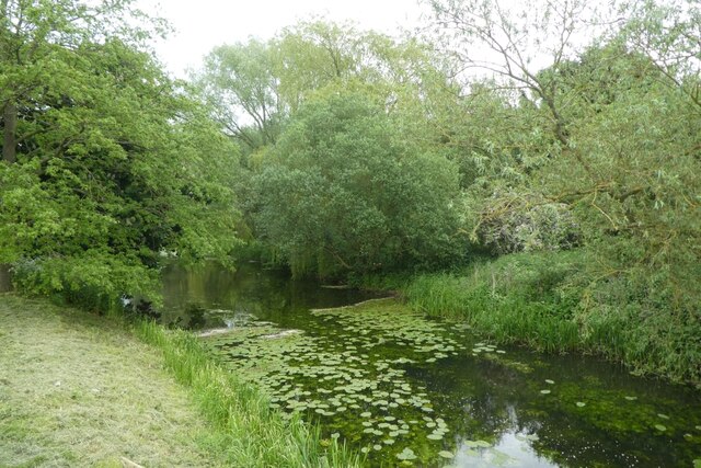
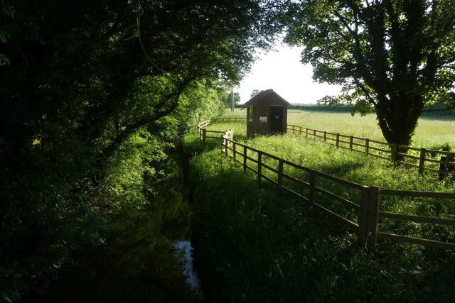
The woodland is home to a diverse range of flora and fauna, including ancient oak trees, vibrant wildflowers, and a variety of bird species. The thick canopy of leaves creates a cool and shaded environment, making it an ideal spot for leisurely walks or picnics on warm summer days. The forest floor is adorned with a carpet of moss and ferns, adding to the magical ambiance of the area.
Eller Carr is also famous for its network of walking and cycling trails, allowing visitors to explore the forest at their own pace. These well-maintained paths wind through the woodland, providing glimpses of hidden streams, small waterfalls, and wildlife habitats along the way. The area is a nature lover's paradise, attracting photographers, birdwatchers, and artists who seek inspiration from its natural wonders.
In addition to its natural beauty, Eller Carr offers amenities for visitors, including parking facilities, picnic areas, and information boards highlighting points of interest. There are also organized nature walks and educational programs available for those interested in learning more about the forest's ecology and history.
Overall, Eller Carr in Yorkshire is a captivating woodland escape, offering a serene and rejuvenating experience for all who venture into its verdant embrace.
If you have any feedback on the listing, please let us know in the comments section below.
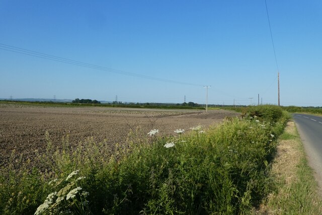
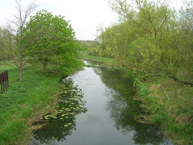
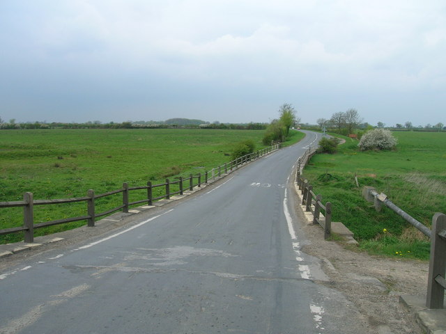
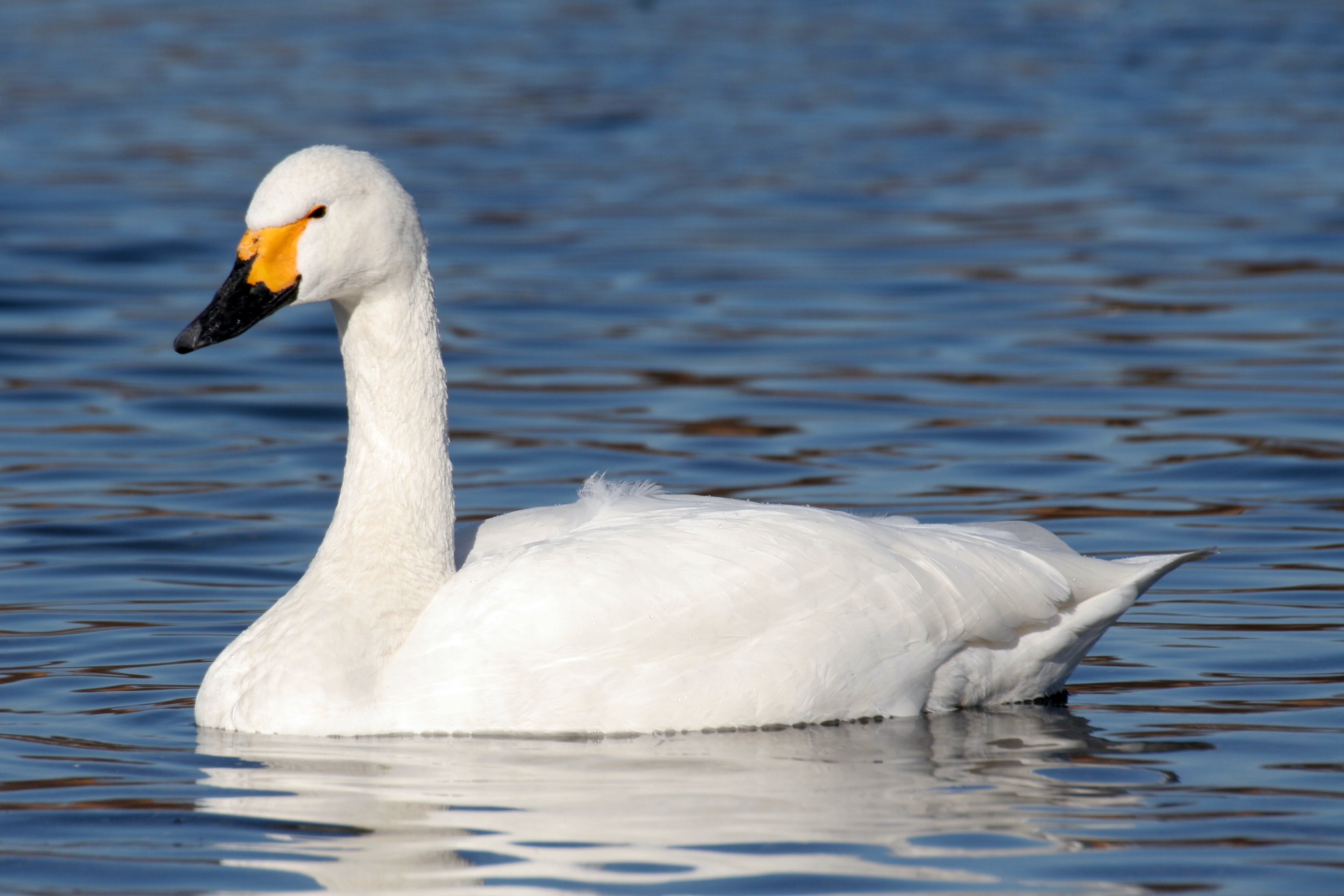
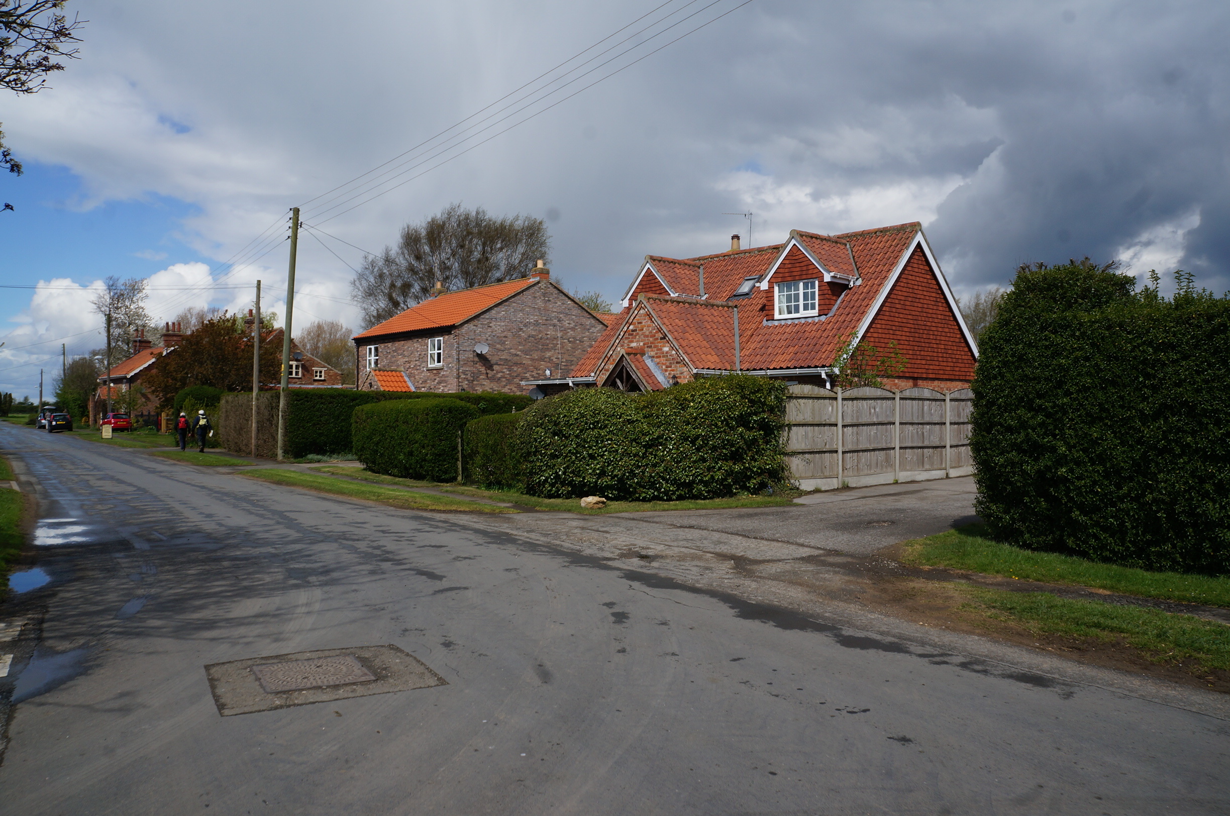
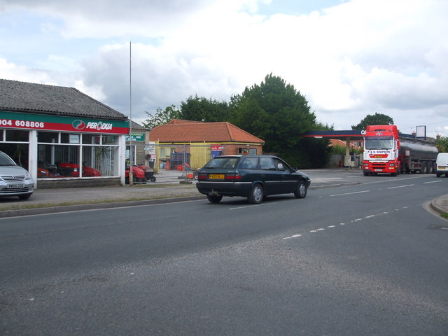
Eller Carr Images
Images are sourced within 2km of 53.901857/-0.88945828 or Grid Reference SE7345. Thanks to Geograph Open Source API. All images are credited.


Eller Carr is located at Grid Ref: SE7345 (Lat: 53.901857, Lng: -0.88945828)
Division: East Riding
Unitary Authority: East Riding of Yorkshire
Police Authority: Humberside
What 3 Words
///butlers.developed.stops. Near Melbourne, East Yorkshire
Nearby Locations
Related Wikis

Storwood
Storwood is a hamlet and former civil parish, now in the parish of Cottingwith, East Riding of Yorkshire, England. It is situated approximately 6 miles...

Sutton upon Derwent
Sutton upon Derwent is a small village and civil parish on the River Derwent in the East Riding of Yorkshire, England, approximately 8 miles (13 km) to...

Melbourne, East Riding of Yorkshire
Melbourne is a village and civil parish in the East Riding of Yorkshire, England. It is situated approximately 8 miles (13 km) west of the market town...
Derwent Ings
Derwent Ings is a Site of Special Scientific Interest (SSSI) divided between North Yorkshire and the East Riding of Yorkshire, England. Derwent Ings is...
Thornton, East Riding of Yorkshire
Thornton is a village and civil parish in the East Riding of Yorkshire, England. It is situated approximately 3.5 miles (5.6 km) south-west of the town...

Sutton Bridge, Yorkshire
Sutton Bridge is a historic bridge in Yorkshire, in England. The bridge crosses the River Derwent, linking Elvington in the City of York with Sutton-upon...
Elvington, North Yorkshire
Elvington is a village and civil parish in the City of York, lying approximately 7 miles (11 km) south-east of York, England, on the B1228 York-Howden...

Allerthorpe Common
Allerthorpe Common is a Site of Special Scientific Interest (SSSI) and nature reserve in the East Riding of Yorkshire, England. It is located close to...
Nearby Amenities
Located within 500m of 53.901857,-0.88945828Have you been to Eller Carr?
Leave your review of Eller Carr below (or comments, questions and feedback).