Patrick's Copse
Wood, Forest in Hampshire East Hampshire
England
Patrick's Copse

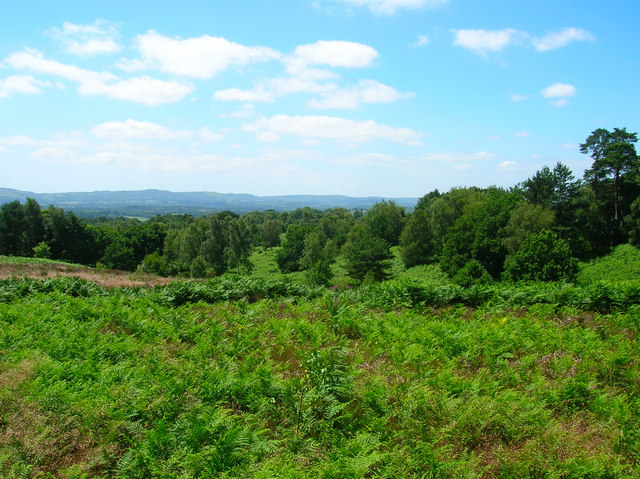
Patrick's Copse is a serene and picturesque woodland located in Hampshire, England. Covering an area of approximately 100 acres, this charming copse is a delightful retreat for nature enthusiasts and outdoor lovers alike. The copse is situated near the village of Brockenhurst, within the boundaries of the New Forest National Park.
Patrick's Copse is characterized by its diverse and abundant flora and fauna. The woodland is primarily composed of a mixture of deciduous and evergreen trees, including oak, beech, birch, and pine. The vibrant colors of the changing leaves in autumn create a breathtaking spectacle for visitors.
The copse is home to a wide variety of wildlife species, providing a haven for nature enthusiasts and birdwatchers. Visitors may encounter deer, rabbits, squirrels, and a range of bird species, including woodpeckers, jays, and owls. The copse's tranquil ambiance and rich biodiversity make it an ideal location for wildlife photography and nature walks.
There are well-maintained footpaths that meander through the copse, allowing visitors to explore its beauty at their own pace. These paths are suitable for both casual strolls and more adventurous hikes. Along the way, visitors can discover hidden glades, sun-dappled clearings, and babbling brooks that enhance the copse's ethereal charm.
Patrick's Copse also offers picnic areas, where visitors can relax and enjoy a meal amidst the peaceful surroundings. Additionally, there are designated spots for camping, providing an opportunity for overnight stays within this enchanting woodland.
Overall, Patrick's Copse is a haven of tranquility and natural beauty, providing a serene escape from the hustle and bustle of everyday life. Its diverse ecosystem, well-maintained paths, and peaceful atmosphere make it a popular destination for nature lovers and outdoor enthusiasts seeking solace in the heart of Hampshire's countryside.
If you have any feedback on the listing, please let us know in the comments section below.
Patrick's Copse Images
Images are sourced within 2km of 51.018281/-0.96230166 or Grid Reference SU7224. Thanks to Geograph Open Source API. All images are credited.


Patrick's Copse is located at Grid Ref: SU7224 (Lat: 51.018281, Lng: -0.96230166)
Administrative County: Hampshire
District: East Hampshire
Police Authority: Hampshire
What 3 Words
///creatures.slurs.props. Near Petersfield, Hampshire
Nearby Locations
Related Wikis
Woolbeding and Pound Commons
Woolbeding and Pound Commons is a 171.9-hectare (425-acre) biological Site of Special Scientific Interest north of Midhurst in West Sussex.The commons...

Steep, Hampshire
Steep is a village and civil parish in the East Hampshire district of Hampshire, England. Its nearest town is Petersfield, which lies 1.4 miles (2.3 km...

Stroud, Hampshire
Stroud () is a village and civil parish in the East Hampshire district of Hampshire, England. It is 1.4 miles (2.3 km) west of Petersfield, on the A272...

Bedales School
Bedales School is a public school (co-educational private school, boarding and day) in the village of Steep, near the market town of Petersfield in Hampshire...
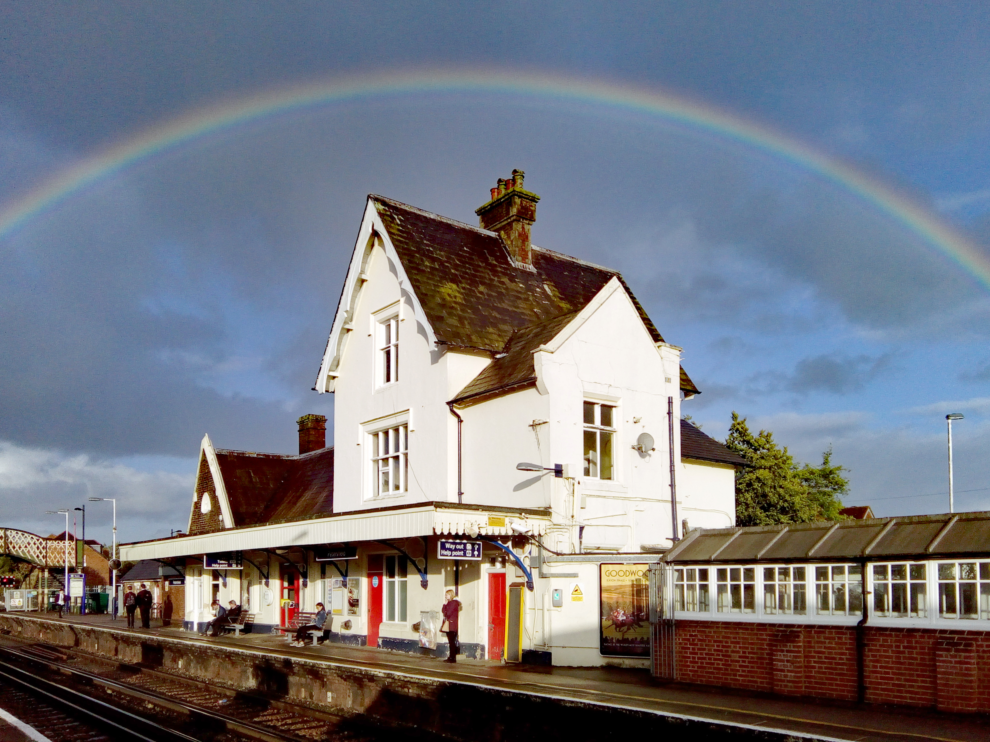
Petersfield railway station
Petersfield railway station serves the market town of Petersfield, Hampshire, England. It is on the Portsmouth Direct line, 54 miles 71 chains (88.3 km...
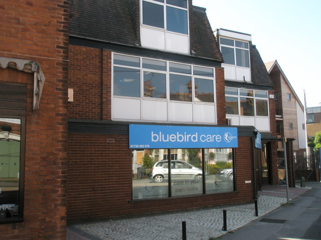
Bluebird Care
Bluebird Care is a franchise and brand providing home care services to the United Kingdom and Ireland. The company has just over 200 franchises covering...
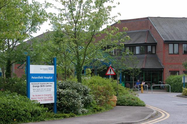
Petersfield Hospital
Petersfield Hospital is a health facility in Swan Street, Petersfield, Hampshire, England. It is managed by Southern Health NHS Foundation Trust. ��2...
Steep Marsh
Steep Marsh is a small village in the civil parish of Steep situated in the South Downs Area of Outstanding Natural Beauty in the East Hampshire district...
Nearby Amenities
Located within 500m of 51.018281,-0.96230166Have you been to Patrick's Copse?
Leave your review of Patrick's Copse below (or comments, questions and feedback).