Bushycopse Shaw

Wood, Forest in Oxfordshire South Oxfordshire

England

Bushycopse Shaw

Hollow at Famous Copse One of several old clay and flint pits in this area. This one has a rope swing.
Hollow at Famous Copse Credit: don cload

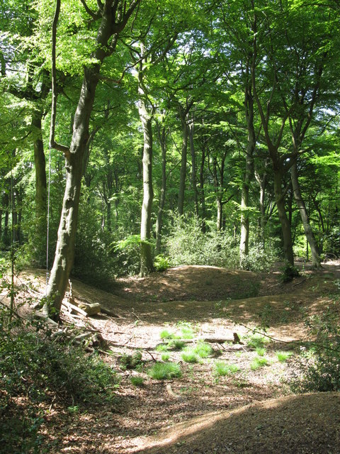
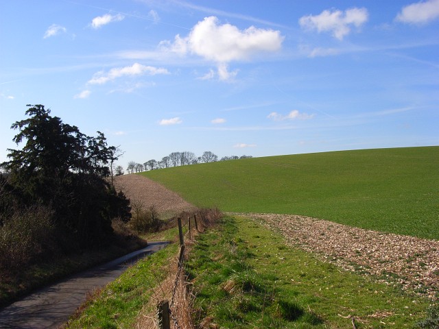
Bushycopse Shaw is a picturesque woodland area located in Oxfordshire, England. Covering an area of approximately 500 acres, it is situated in the heart of the county, near the village of Wood. The shaw, which is a local term for a small wood or forest, is renowned for its natural beauty and diverse ecosystem.

This woodland is a haven for wildlife, with a rich variety of flora and fauna. The canopy is predominantly composed of oak and beech trees, interspersed with occasional birch and hazel trees. These ancient trees provide a valuable habitat for many species, including birds, small mammals, and insects.

Walking through Bushycopse Shaw, visitors will be captivated by the tranquil atmosphere and the gentle rustling of leaves underfoot. The forest floor is carpeted with a vibrant array of wildflowers, such as bluebells, primroses, and wood anemones, adding a splash of color to the green landscape.

The shaw is intersected by several well-maintained trails, allowing visitors to explore its beauty at their own pace. These paths wind through the woodland, offering breathtaking views of the surrounding countryside and opportunities for birdwatching and photography.

Bushycopse Shaw, with its untouched natural charm, is not only a popular destination for nature enthusiasts but also serves as an important conservation site. The local authorities have implemented measures to protect and preserve this valuable woodland, ensuring its sustainability for future generations to enjoy.

If you have any feedback on the listing, please let us know in the comments section below.

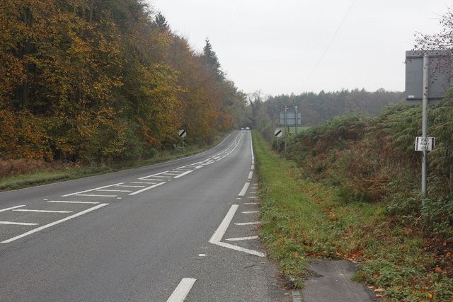
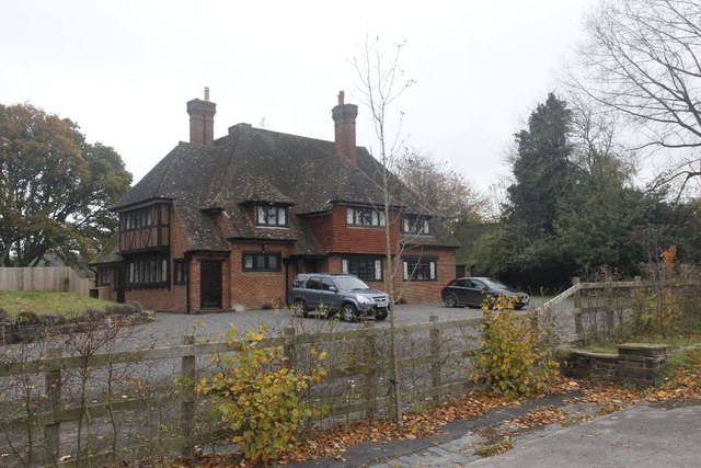
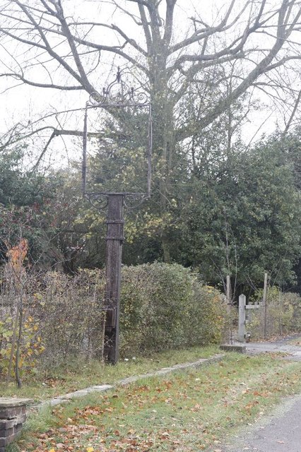
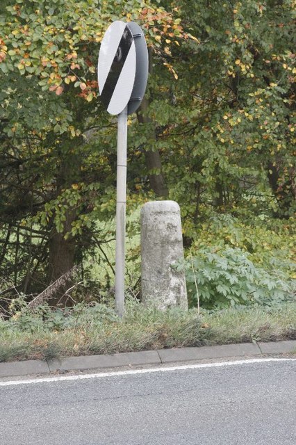
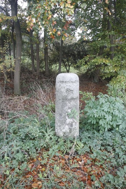
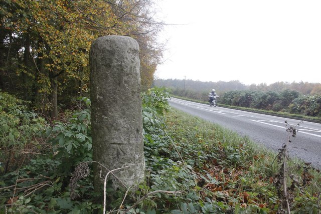
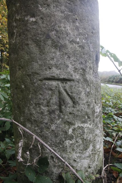
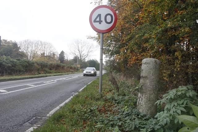
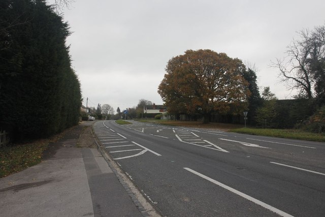
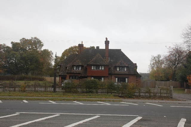
Bushycopse Shaw Images

Images are sourced within 2km of 51.565785/-0.95131684 or Grid Reference SU7285. Thanks to Geograph Open Source API. All images are credited.

Hollow at Famous Copse One of several old clay and flint pits in this area. This one has a rope swing.
Hollow at Famous Copse
One of several old clay and flint pits in this area. This one has a rope swing.
Sergeant H W Luker Of the Royal Australian Air force who died 18th June 1943 aged 24. Taken in Fairmile Cemetery Henley. <span class="nowrap"><a title="http://www.lostbombers.co.uk/bomber.php?id=1256" rel="nofollow ugc noopener" href="http://www.lostbombers.co.uk/bomber.php?id=1256">Link</a><img style="margin-left:2px;" alt="External link" title="External link - shift click to open in new window" src="https://s1.geograph.org.uk/img/external.png" width="10" height="10"/></span>
Sergeant H W Luker
Of the Royal Australian Air force who died 18th June 1943 aged 24. Taken in Fairmile Cemetery Henley. LinkExternal link
Trooper G E Mitchell The Headstone behind is inscribed Private A E Ball, the graves are in Fairmile Cemetery Henley.
Trooper G E Mitchell
The Headstone behind is inscribed Private A E Ball, the graves are in Fairmile Cemetery Henley.
Hidden by the road View along the A4130 where over to the right is a milestone off the road.
Hidden by the road
View along the A4130 where over to the right is a milestone off the road.
Milestone off the road This was a hard one to spot as it is  below the road level. It looks eroded where the places and miles should be but the reason for this was because they were removed in World War two. It should say Henley 4, London 39 and Oxford 19.
Milestone off the road
This was a hard one to spot as it is below the road level. It looks eroded where the places and miles should be but the reason for this was because they were removed in World War two. It should say Henley 4, London 39 and Oxford 19.
Back of the Milestone View of back of the milestone in Nettlebed wood showing that the road has been raised over the years to the level it is now. A benchmark can be seen in the photo as well.
Back of the Milestone
View of back of the milestone in Nettlebed wood showing that the road has been raised over the years to the level it is now. A benchmark can be seen in the photo as well.
Nettlebed wood Benchmark Close up of the benchmark on the milestone in Nettlebed wood. <a href="https://www.geograph.org.uk/photo/2687214">SU7186 : Back of the Milestone</a> <a href="https://www.geograph.org.uk/photo/2687036">SU7186 : Milestone off the road</a>
Nettlebed wood Benchmark
Close up of the benchmark on the milestone in Nettlebed wood. SU7186 : Back of the Milestone SU7186 : Milestone off the road
Towards Henley The A 4130 towards Henley from near the Nettlebed wood milestone.
Towards Henley
The A 4130 towards Henley from near the Nettlebed wood milestone.
Another milestone Looking along the A4130 at Bix in the Nettlebed direction. I'm here for another milestone which is just over beside the National speed limits apply sign to the left.
Another milestone
Looking along the A4130 at Bix in the Nettlebed direction. I'm here for another milestone which is just over beside the National speed limits apply sign to the left.
The Fox at Bix This used to be the Fox Public house; though I never have been in the place it always looked popular when I went past.  It shut many years ago as can be seen in the link. <a href="https://www.geograph.org.uk/photo/36346">SU7285 : The Fox at Bix</a>
The Fox at Bix
This used to be the Fox Public house; though I never have been in the place it always looked popular when I went past. It shut many years ago as can be seen in the link. SU7285 : The Fox at Bix
Empty Pub Sign Always sad to see an empty pub sign, this used to hold the Fox at Bix but alas it will no more.
Empty Pub Sign
Always sad to see an empty pub sign, this used to hold the Fox at Bix but alas it will no more.
Milestone by the limit Another of the London Road Milestones which is just outside Bix village near Henley.  This one is another that was defaced of its mileage and towns during the Second World War.  It would have had Oxford 20, Abingdon 18, London 38, Henley 3 on it.
Milestone by the limit
Another of the London Road Milestones which is just outside Bix village near Henley. This one is another that was defaced of its mileage and towns during the Second World War. It would have had Oxford 20, Abingdon 18, London 38, Henley 3 on it.
Milestone at Bix The milestone at Bix near Henley which would have had Oxford 20, Abingdon 18, London 38, Henley 3 carved in it but was defaced during the Second World War.
Milestone at Bix
The milestone at Bix near Henley which would have had Oxford 20, Abingdon 18, London 38, Henley 3 carved in it but was defaced during the Second World War.
Motorbiking View of the Bix milestone looking in the Nettlebed direction with a motorbike making its way along the A4130.  You can see a benchmark on the base.
Motorbiking
View of the Bix milestone looking in the Nettlebed direction with a motorbike making its way along the A4130. You can see a benchmark on the base.
Close up of the Bix Milestone Closeup of the Bix benchmark on the milestone. <a href="https://www.geograph.org.uk/photo/2687326">SU7285 : Motorbiking</a>
Close up of the Bix Milestone
Closeup of the Bix benchmark on the milestone. SU7285 : Motorbiking
Looking towards Bix View from the milestone at Bix towards the village.
Looking towards Bix
View from the milestone at Bix towards the village.
Junction on the end View across the A4130 towards a road junction just on the end of the dual carriageway up Bix Hill.
Junction on the end
View across the A4130 towards a road junction just on the end of the dual carriageway up Bix Hill.
Another view of the Fox Another view of the Fox public house which I think closed back in the 1990's.
Another view of the Fox
Another view of the Fox public house which I think closed back in the 1990's.
Show me another place!

Bushycopse Shaw is located at Grid Ref: SU7285 (Lat: 51.565785, Lng: -0.95131684)

Administrative County: Oxfordshire

District: South Oxfordshire

Police Authority: Thames Valley

What 3 Words

///stretcher.ideas.reshaping. Near Remenham, Berkshire

Related Wikis

Bix, Oxfordshire

Bix is a village in the civil parish of Bix and Assendon in South Oxfordshire, about 2.5 miles (4 km) northwest of Henley-on-Thames. The village is about...

Middle Assendon

Middle Assendon is a village in the Stonor valley in the Chiltern Hills. It is about 2 miles (3.2 km) northwest of Henley-on-Thames in South Oxfordshire...

Bix and Assendon

Bix and Assendon, formerly just Bix is a mainly rural civil parish in the high Chilterns just north of Henley-on-Thames in South Oxfordshire, in the county...

Lambridge Wood

Lambridge Wood is a 73.8-hectare (182-acre) biological Site of Special Scientific Interest north-west of Henley-on-Thames in Oxfordshire. It is in the...

Maidensgrove

Maidensgrove is a hamlet above the Stonor valley in the Chiltern Hills, adjacent to Russell's Water common. It is about 5 miles (8.0 km) northwest of...

Lower Assendon

Lower Assendon is a village in the Assendon valley in the Chiltern Hills, about 1.5 miles (2.4 km) northwest of Henley-on-Thames in South Oxfordshire...

Fawley Bottom

Fawley Bottom is a small village in south Buckinghamshire, England, north of Henley-on-Thames. It is in the civil parish of Fawley. The artist John Piper...

Rotherfield Greys Castle

Rotherfield Greys Castle, initially known as Retherfield Castle, is a 14th-century fortified manor house built in Rotherfield Greys, Oxfordshire. Only...

Nearby Amenities

Located within 500m of 51.565785,-0.95131684
Bix
Place: hamlet
Wikidata: Q4919284
Wikipedia: en:Bix (Oxfordshire)
Lat/Long: 51.5618226/-0.9504862
Barrier: kissing_gate
Bicycle: no
Foot: yes
Lat/Long: 51.5618377/-0.9546265
Direction: 205`
Generator Method: photovoltaic
Generator Output Electricity: yes
Generator Solar Modules: 10
Generator Source: solar
Generator Type: solar_photovoltaic_panel
Location: roof
Power: generator
Lat/Long: 51.5631938/-0.9515541
The data included in this document is from www.openstreetmap.org. The data is made available under ODbL.

Have you been to Bushycopse Shaw?

Leave your review of Bushycopse Shaw below (or comments, questions and feedback).