Rough Spinney
Wood, Forest in Leicestershire Harborough
England
Rough Spinney
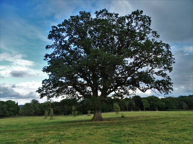
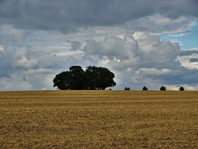
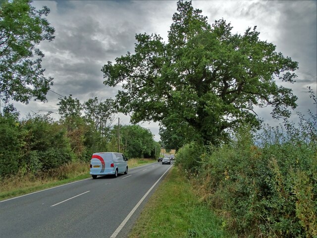
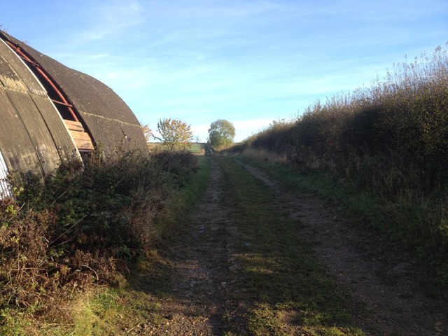
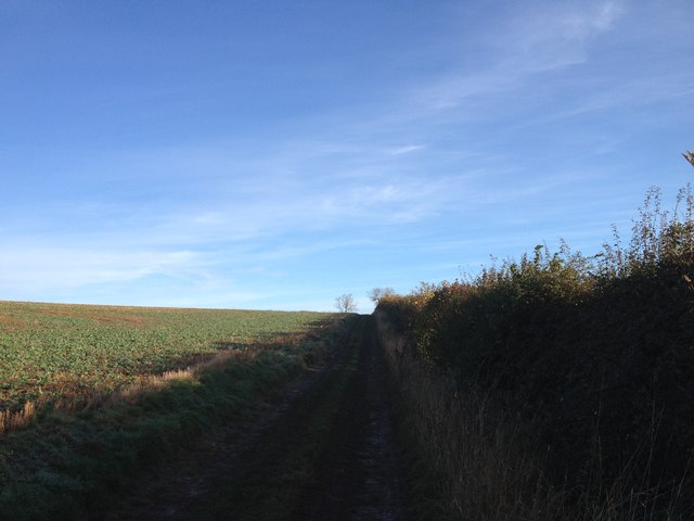
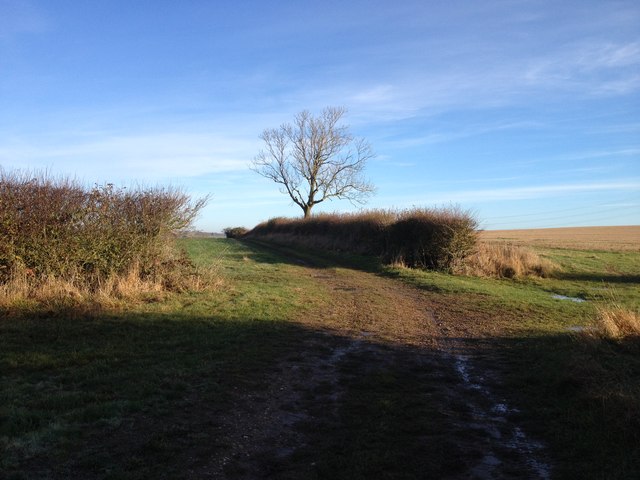
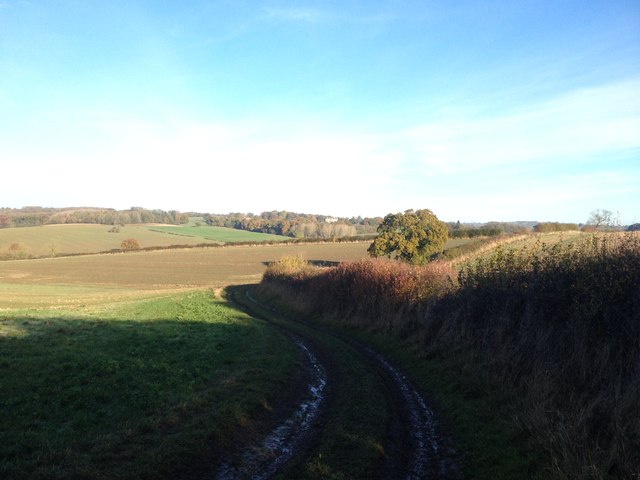
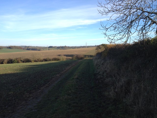
Rough Spinney is a small woodland area located in Leicestershire, England. Situated near the village of Woodhouse Eaves, it covers an area of approximately 10 hectares and is part of the larger Charnwood Forest.
The spinney is primarily composed of native broadleaf trees, such as oak, ash, and beech, creating a diverse and picturesque landscape. The woodland floor is covered with a variety of wildflowers, including bluebells, primroses, and wood anemones, which add a vibrant burst of color during the spring months.
Rough Spinney is known for its rich biodiversity, providing a habitat for a wide range of wildlife. Birdwatchers can spot species such as tawny owls, great spotted woodpeckers, and nuthatches, while small mammals like badgers, foxes, and squirrels can be observed in their natural habitat.
The woodland is a popular destination for nature enthusiasts and walkers alike, offering several well-maintained footpaths that meander through the trees. Visitors can enjoy peaceful strolls along the winding trails, taking in the tranquil surroundings and breathing in the fresh air.
Managed by the local council, Rough Spinney is a protected site and efforts are made to maintain its natural beauty and ecological balance. Regular conservation work is carried out to ensure the preservation of the woodland and its inhabitants.
Overall, Rough Spinney is a hidden gem in Leicestershire, providing a peaceful retreat for those seeking solace in nature and a haven for wildlife to thrive.
If you have any feedback on the listing, please let us know in the comments section below.
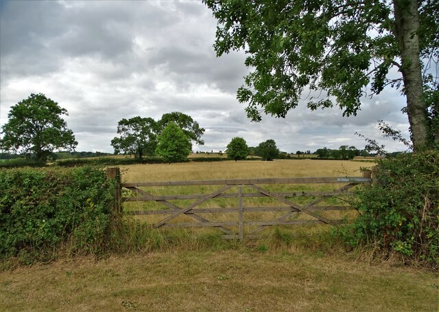
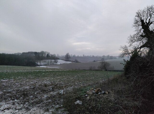
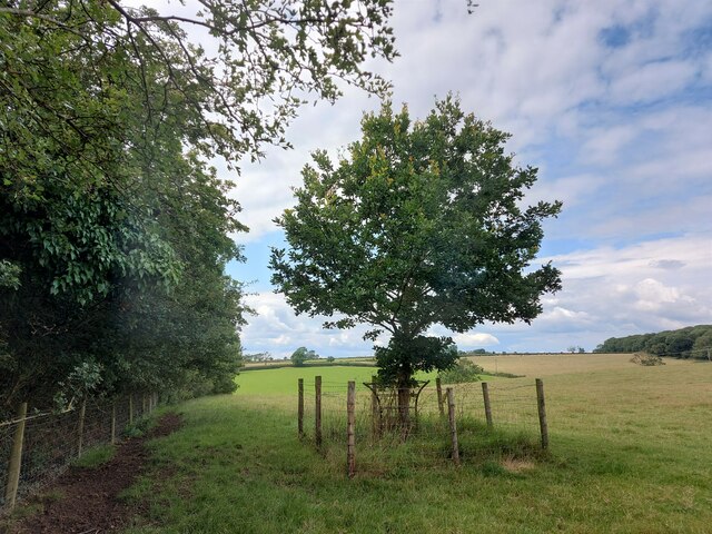
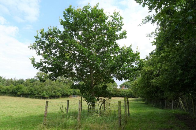
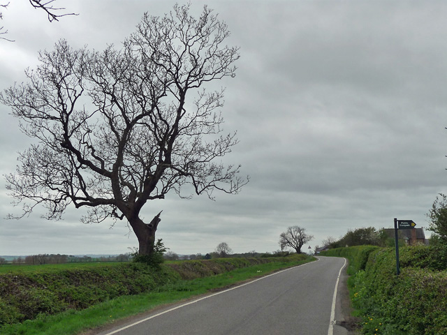
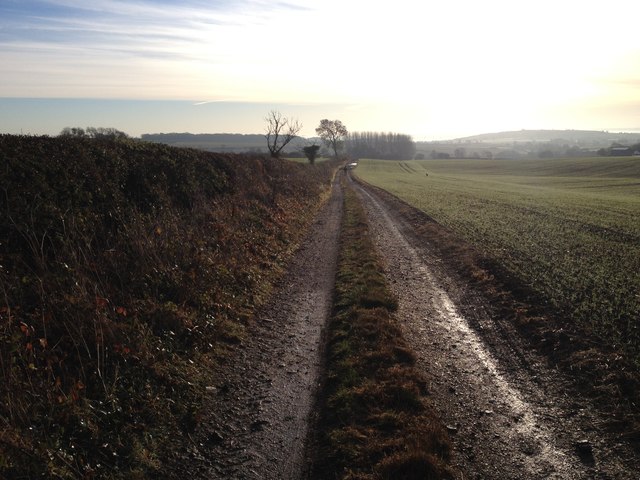
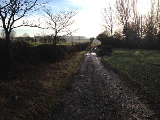
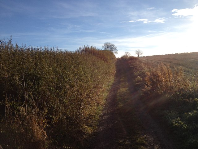
Rough Spinney Images
Images are sourced within 2km of 52.569708/-0.92949917 or Grid Reference SP7297. Thanks to Geograph Open Source API. All images are credited.
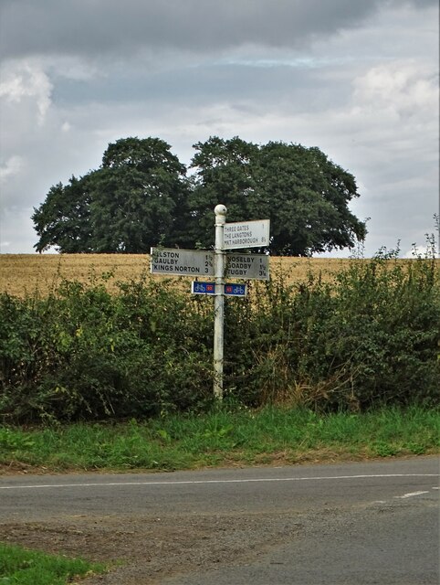

Rough Spinney is located at Grid Ref: SP7297 (Lat: 52.569708, Lng: -0.92949917)
Administrative County: Leicestershire
District: Harborough
Police Authority: Leicestershire
What 3 Words
///prawn.inviting.arise. Near Kibworth Harcourt, Leicestershire
Related Wikis

Shangton
Shangton is a parish and small village near Tur Langton in Leicestershire, England, and part of Harborough district. == External links == Media related...
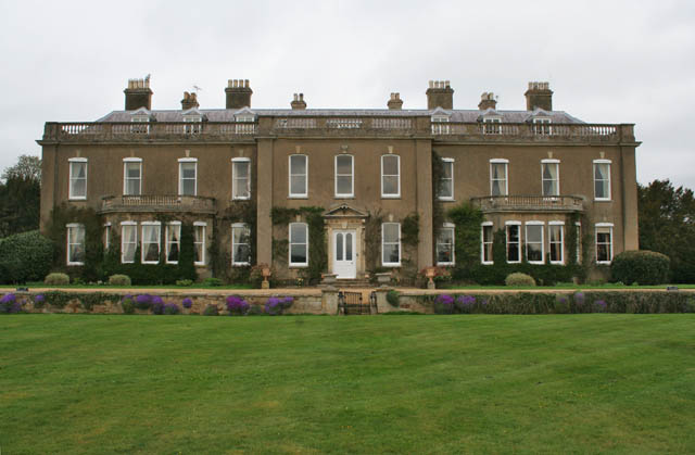
Noseley Hall
Noseley Hall is a privately owned 18th-century country house situated at Noseley, Billesden, Leicestershire. It is a Grade II* listed building. Anciently...

Noseley
Noseley is a village and civil parish in the Harborough district of Leicestershire, England. The civil parish population at the 2011 census was 204...

Stonton Wyville
Stonton Wyville is a small village and civil parish in the Harborough district of Leicestershire, England. According to the 2001 census the parish had...

Illston on the Hill
Illston on the Hill is a small village and parish seven miles north of Market Harborough in the county of Leicestershire. The population of the civil parish...

Glooston
Glooston is a small village and civil parish in the Harborough district of Leicestershire, England. According to the 2001 census the parish had a population...
Tur Langton
Tur Langton (derived from the Anglo-Saxon word for an enclosure, meaning "long town") is a small village and civil parish in the Harborough district, in...
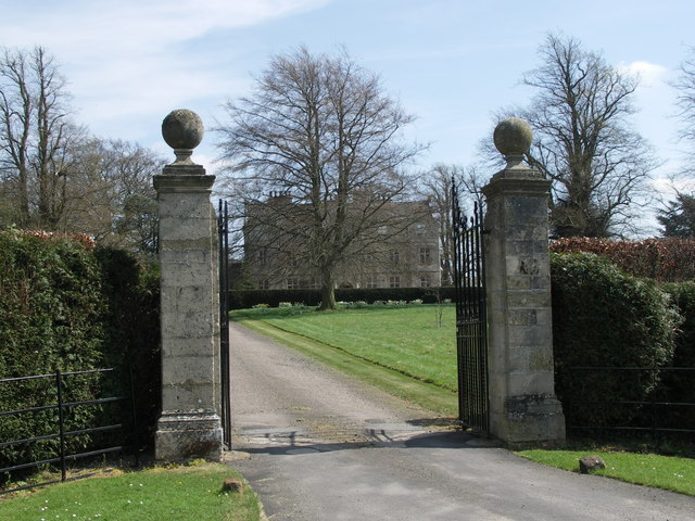
Carlton Curlieu Hall
Carlton Curlieu Hall is a privately owned 17th-century country house at Carlton Curlieu, Leicestershire. It is the home of the Palmer family and is a Grade...
Nearby Amenities
Located within 500m of 52.569708,-0.92949917Have you been to Rough Spinney?
Leave your review of Rough Spinney below (or comments, questions and feedback).