Compton, East
Settlement in Somerset Mendip
England
Compton, East
Compton, East is a small village located in the Mendip district of Somerset, England. Situated approximately 15 miles southwest of Bath, it is nestled in the picturesque countryside of the West Country. Compton, East is part of the wider civil parish of Compton Dando.
The village itself is characterized by its idyllic rural charm and stunning natural beauty. It is surrounded by rolling hills, lush meadows, and verdant farmlands, providing residents and visitors with ample opportunities for outdoor recreation and leisure activities. The River Chew flows nearby, adding to the village's scenic appeal and providing a tranquil setting for fishing and boating enthusiasts.
Compton, East has a close-knit community with a population of around 500 residents. The village offers a peaceful and tight-knit environment, making it an ideal place for families and those seeking a quieter lifestyle. It is known for its friendly and welcoming atmosphere, with several community events and gatherings held throughout the year.
The village has limited amenities, with a local pub and a parish church being the focal points of the community. However, residents can easily access more extensive facilities in nearby towns such as Keynsham and Bath, where a wider range of shops, schools, and healthcare services can be found.
Overall, Compton, East is a charming and picturesque village that offers a tranquil and close-knit community. With its scenic surroundings and easy access to larger towns, it provides a perfect balance between rural living and modern conveniences.
If you have any feedback on the listing, please let us know in the comments section below.
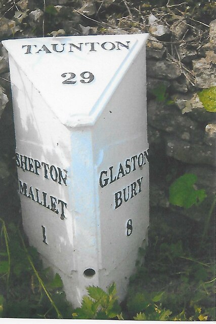
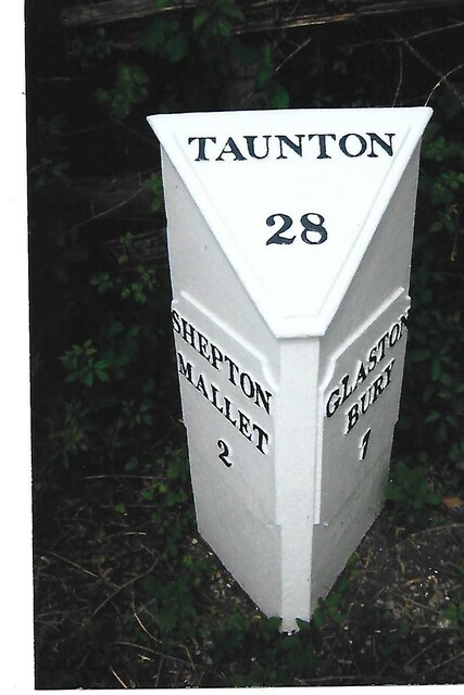
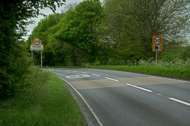
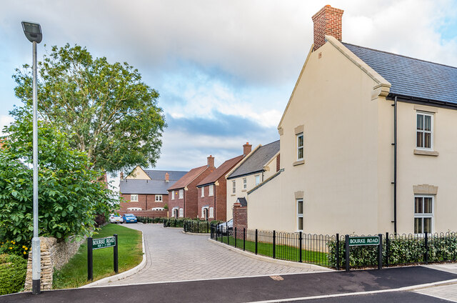
Compton, East Images
Images are sourced within 2km of 51.170477/-2.552945 or Grid Reference ST6141. Thanks to Geograph Open Source API. All images are credited.


Compton, East is located at Grid Ref: ST6141 (Lat: 51.170477, Lng: -2.552945)
Administrative County: Somerset
District: Mendip
Police Authority: Avon and Somerset
What 3 Words
///rainy.breakfast.neon. Near Shepton Mallet, Somerset
Nearby Locations
Related Wikis
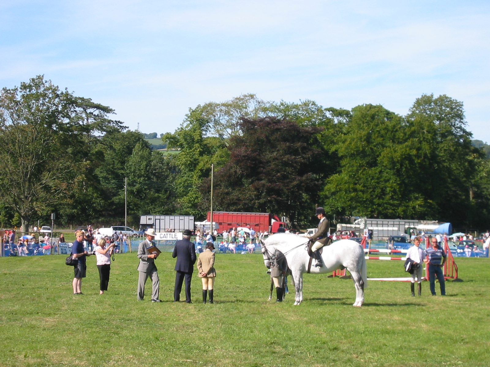
Mid-Somerset Show
The Mid-Somerset Show, also known as Shepton Show, is a one-day agricultural show held annually in August on a site at Shepton Mallet, Somerset, England...

Shepton Mallet (High Street) railway station
Shepton Mallet (High Street) was a railway station on the East Somerset Railway, serving the town of Shepton Mallet in the English county of Somerset....

Shepton Mallet F.C.
Shepton Mallet Association Football Club are a football club based in Shepton Mallet, Somerset, England. They are currently members of Western League Premier...
Whitstone School
Whitstone School is a specialist school located in Shepton Mallet, Somerset, England, and educates students aged between 11 and 16. The school has been...
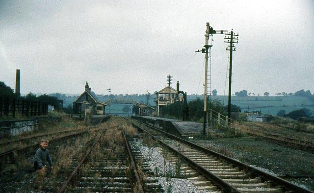
Shepton Mallet (Charlton Road) railway station
Shepton Mallet (Charlton Road) was a station on the Somerset and Dorset Joint Railway in the county of Somerset in England. Opened as Shepton Mallet on...

Merchant's House, Shepton Mallet
The Merchant's House at Number 8, Market Place, Shepton Mallet, Somerset, England was built around 1675 and has been designated as a Grade II* listed building...

Market Cross, Shepton Mallet
The Market Cross in Shepton Mallet, Somerset, England was built around 1500 and rebuilt in 1841. It is a Grade II* listed building, and has been scheduled...
Worthy FM
Worthy FM is the onsite radio station of The Glastonbury Festival. It broadcasts on 87.7 MHz FM and online for one week only during the Festival, operating...
Nearby Amenities
Located within 500m of 51.170477,-2.552945Have you been to Compton, East?
Leave your review of Compton, East below (or comments, questions and feedback).