Cooper's Wood

Wood, Forest in Oxfordshire South Oxfordshire

England

Cooper's Wood

Elegant beech tree, Christmas Common, Oxfordshire
Elegant beech tree, Christmas Common, Oxfordshire Credit: Oswald Bertram

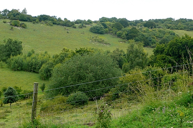
Cooper's Wood, located in Oxfordshire, England, is a picturesque woodland area that covers approximately 50 acres. This charming forest is nestled within the heart of the countryside, providing a tranquil escape from the bustling city life. It is situated just a short distance from the historic market town of Witney, making it easily accessible for both locals and tourists alike.

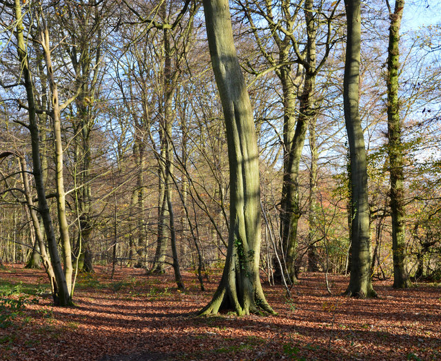
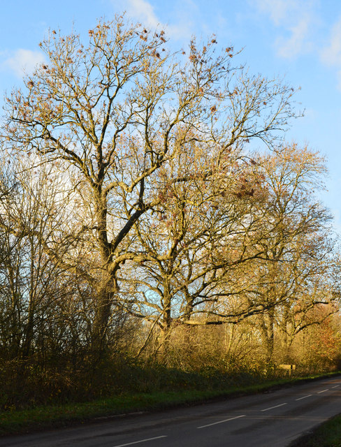
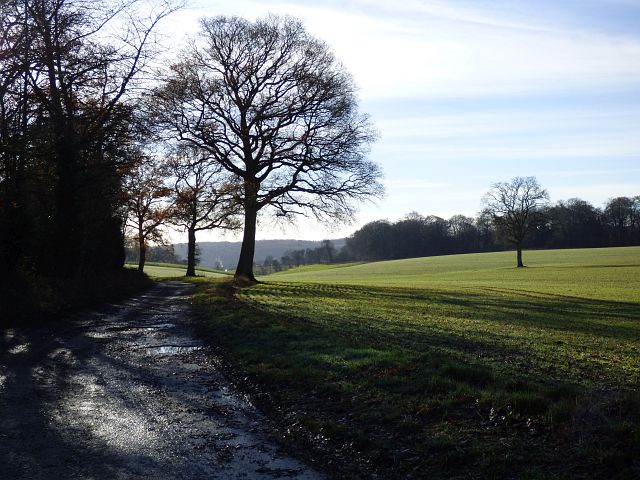
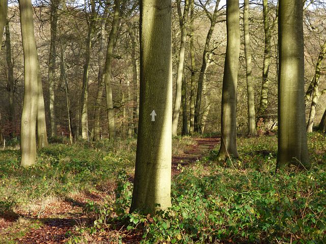
Cooper's Wood boasts a diverse range of tree species, including oak, ash, beech, and birch, creating a rich tapestry of colors throughout the seasons. The woodland floor is covered in a lush carpet of wildflowers and ferns, adding to its natural beauty and providing a haven for wildlife.

Nature enthusiasts will be delighted by the abundance of wildlife that calls Cooper's Wood home. The woodland is home to various bird species, such as woodpeckers, owls, and songbirds, filling the air with their melodic tunes. Squirrels can be spotted scampering across the forest floor, while deer occasionally graze in the open glades.

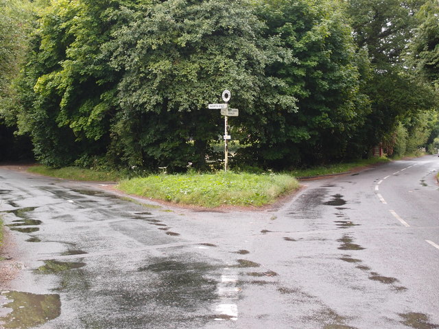
Visitors can explore the woodland through a network of well-maintained footpaths and trails, which wind their way through the trees and offer stunning views of the surrounding countryside. These paths provide a perfect opportunity for hikers, joggers, and dog walkers to enjoy the peaceful ambiance of the wood.

Cooper's Wood is a cherished natural gem in Oxfordshire, offering visitors a chance to connect with nature and escape the stresses of everyday life. Its beauty and tranquility make it a must-visit destination for those seeking a peaceful retreat in the heart of the English countryside.

If you have any feedback on the listing, please let us know in the comments section below.

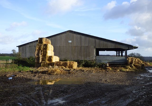
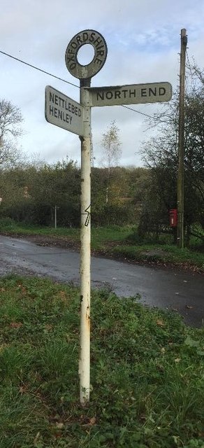
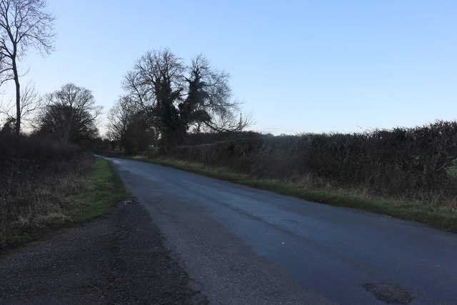
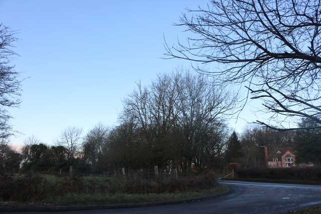
Cooper's Wood Images

Images are sourced within 2km of 51.632617/-0.95604738 or Grid Reference SU7293. Thanks to Geograph Open Source API. All images are credited.

Elegant beech tree, Christmas Common, Oxfordshire
November sunshine, Christmas Common, Oxfordshire
Larch tree, Watlington Hill, Oxfordshire
Winter's afternoon, Christmas Common, Oxfordshire
Road junction and grass triangle Adjacent to Christmas Common.
Road junction and grass triangle
Adjacent to Christmas Common.
Road junction and grass triangle Near to Christmas Common.
Road junction and grass triangle
Near to Christmas Common.
Information Board at Watlington Hill This information board has been erected by The National Trust in its car park at the east end of Watlington Hill, its postcode being OX49 5HS. It shows a plan of the hill and has the following wording:
  
  On the left of the board
    Making a mark
  Once the local farmers stopped grazing their sheep on Watlington Hill it became overgrown with scrub. It wasn't a pleasant place for walkers and it wasn't a good place for butterflies. Now the National Trust is making a mark on the landscape. It's restoring the hill to a mosaic of chalk grassland and scrub.
  It is a great place to see Chalkhill Blue and Silver-Spotted Skipper butterflies, as well as the majestic Red Kites.
   The National Trust is grateful for funding received for this project from Natural England, Chilterns Conservation Board and Oxfordshire County Council.

   Below the plan
   The White Mark
  Edward Horner, a local squire, thought that the church which he could see from his home would look more impressive if it had a steeple. He had the huge white mark cut into the hillside to achieve this by way of an optical illusion. That's one story, anyway. There may be other explanations....

    On the right of the board
 Please help us to keep the hill unspoilt for everyone to enjoy - take your litter or dog waste home with you.

   The images show from left to right: Silver-Spotted Skipper butterfly, View of Watlington Hill in 1907, and the White Mark with the Parish Church of Saint Leonard in the foreground.
Information Board at Watlington Hill
This information board has been erected by The National Trust in its car park at the east end of Watlington Hill, its postcode being OX49 5HS. It shows a plan of the hill and has the following wording: On the left of the board Making a mark Once the local farmers stopped grazing their sheep on Watlington Hill it became overgrown with scrub. It wasn't a pleasant place for walkers and it wasn't a good place for butterflies. Now the National Trust is making a mark on the landscape. It's restoring the hill to a mosaic of chalk grassland and scrub. It is a great place to see Chalkhill Blue and Silver-Spotted Skipper butterflies, as well as the majestic Red Kites. The National Trust is grateful for funding received for this project from Natural England, Chilterns Conservation Board and Oxfordshire County Council. Below the plan The White Mark Edward Horner, a local squire, thought that the church which he could see from his home would look more impressive if it had a steeple. He had the huge white mark cut into the hillside to achieve this by way of an optical illusion. That's one story, anyway. There may be other explanations.... On the right of the board Please help us to keep the hill unspoilt for everyone to enjoy - take your litter or dog waste home with you. The images show from left to right: Silver-Spotted Skipper butterfly, View of Watlington Hill in 1907, and the White Mark with the Parish Church of Saint Leonard in the foreground.
Hollandridge Lane and farmland, Pishill A cereal crop and oaks on a ridge to the north of Pishill.
Hollandridge Lane and farmland, Pishill
A cereal crop and oaks on a ridge to the north of Pishill.
Woodland, Shirburn The Chiltern Way amidst beeches in the lower part of Blackmoor Wood on the Wormsley Estate.
Woodland, Shirburn
The Chiltern Way amidst beeches in the lower part of Blackmoor Wood on the Wormsley Estate.
Barn at Portobello Farm, Shirburn A muddy farmyard with cattle ensconced for the winter.
Barn at Portobello Farm, Shirburn
A muddy farmyard with cattle ensconced for the winter.
Old Direction Sign - Signpost by Christmas Common, Watlington parish Annulus finial - 2 arms; Oxford CC halo by the UC road, in parish of Watlington (South Oxfordshire District), Christmas Common, Y-junction of Nettlebed Henley with Hollandridge Lane, on grass triangle.

Surveyed

Milestone Society National ID: OX_SU7193
Old Direction Sign - Signpost by Christmas Common, Watlington parish
Annulus finial - 2 arms; Oxford CC halo by the UC road, in parish of Watlington (South Oxfordshire District), Christmas Common, Y-junction of Nettlebed Henley with Hollandridge Lane, on grass triangle. Surveyed Milestone Society National ID: OX_SU7193
K6 Telephone Box at Christmas Common Situated at Christmas Common OX49 5HL, this red telephone box may soon be taken away from this location as it has had all the payphone equipment removed from inside it.
K6 Telephone Box at Christmas Common
Situated at Christmas Common OX49 5HL, this red telephone box may soon be taken away from this location as it has had all the payphone equipment removed from inside it.
Holloway Lane, Northend
Green on Holloway Lane, Northend
The road through North End
North End, Christmas Common
Hill Road at the junction of North End The house replaced one of a similar size but different design since 2011
Hill Road at the junction of North End
The house replaced one of a similar size but different design since 2011
Hill Road, Christmas Common
Show me another place!

Cooper's Wood is located at Grid Ref: SU7293 (Lat: 51.632617, Lng: -0.95604738)

Administrative County: Oxfordshire

District: South Oxfordshire

Police Authority: Thames Valley

What 3 Words

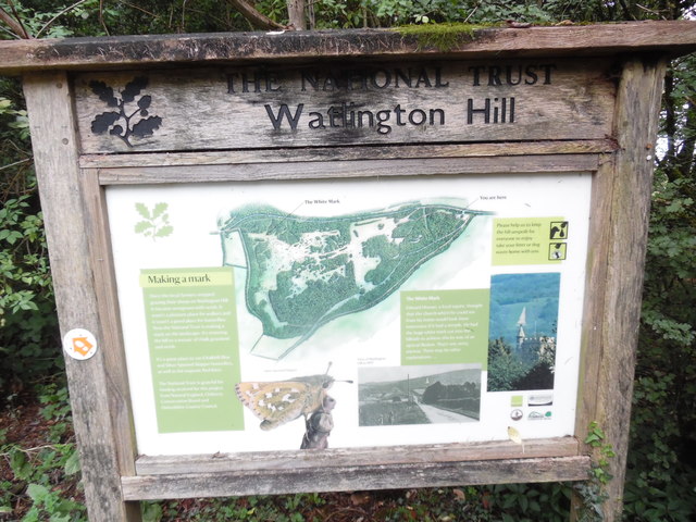
///scaffold.officer.shipyards. Near Watlington, Oxfordshire

Related Wikis

Christmas Common

Christmas Common is a hamlet in Watlington civil parish, Oxfordshire about 7+1⁄2 miles (12 km) south of Thame in Oxfordshire, close to the boundary with...

Northend, Buckinghamshire

Northend is a village that straddles the border of the two English counties of Buckinghamshire and Oxfordshire. The eastern half is in the civil parish...

Watlington Park

Watlington Park is an English country house with its surrounding grounds of approximately 500 acres (200 ha), located atop an escarpment in the Chiltern...

Swain's Wood

Swain's Wood is a 16.2-hectare (40-acre) biological Site of Special Scientific Interest west of Turville in Buckinghamshire. It is in the Chilterns Area...

Watlington and Pyrton Hills

Watlington and Pyrton Hills is a 112.7-hectare (278-acre) biological Site of Special Scientific Interest east of Watlington in Oxfordshire. An area of...

Wormsley Park

Wormsley is a private estate of Mark Getty and his family, set in 2,700-acre (1,100 ha) of rolling countryside in the Chiltern Hills of Buckinghamshire...

Garsington Opera

Garsington Opera is an annual summer opera festival founded in 1989 by Leonard Ingrams. The Philharmonia Orchestra and The English Concert are its two...

Wormsley Chalk Banks

Wormsley Chalk Banks are six separate areas which together are a 14.1-hectare (35-acre) biological Site of Special Scientific Interest near Turville in...

Nearby Amenities

Located within 500m of 51.632617,-0.95604738
Barrier: kissing_gate
Foot: yes
Lat/Long: 51.6290998/-0.9547353
Barrier: kissing_gate
Foot: yes
Lat/Long: 51.6295761/-0.9522906
Barrier: kissing_gate
Foot: yes
Lat/Long: 51.6296442/-0.9511175
Barrier: kissing_gate
Foot: yes
Lat/Long: 51.6310477/-0.9607153
Barrier: kissing_gate
Foot: yes
Lat/Long: 51.6318405/-0.9578198
Turning Loop
Lat/Long: 51.6323063/-0.953682
Direction: 195
Fixme: survey for panel count
Generator Method: photovoltaic
Generator Output Electricity: yes
Generator Solar Modules: 24
Generator Source: solar
Generator Type: solar_photovoltaic_panel
Location: roof
Power: generator
Lat/Long: 51.6326014/-0.9533287
The data included in this document is from www.openstreetmap.org. The data is made available under ODbL.

Have you been to Cooper's Wood?

Leave your review of Cooper's Wood below (or comments, questions and feedback).