Victoria Plantation

Wood, Forest in Nottinghamshire Newark and Sherwood

England

Victoria Plantation

Stubble field, Caunton Common
Stubble field, Caunton Common Credit: Jonathan Thacker

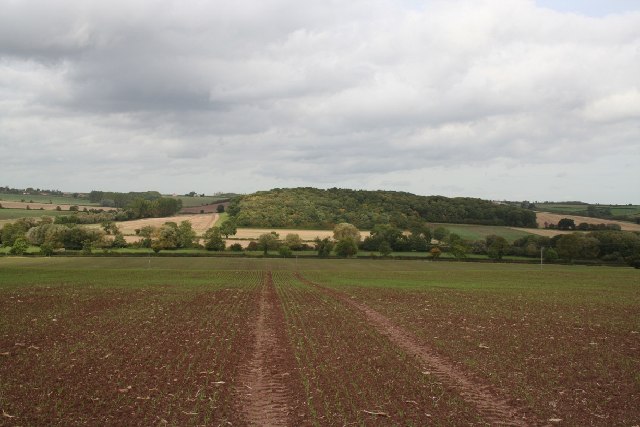
Victoria Plantation is a picturesque woodland located in Nottinghamshire, England. Covering an area of approximately 500 acres, it is situated within the larger Sherwood Forest, famous for its association with the legendary outlaw, Robin Hood. The plantation is named after Queen Victoria, who visited the area in the 19th century.

The woodland is primarily composed of deciduous trees, with a rich variety of species such as oak, beech, and birch. These trees create a dense canopy that provides a habitat for numerous wildlife species, including deer, foxes, and a wide array of bird species. Additionally, the forest floor is adorned with a diverse range of wildflowers and ferns, adding to the beauty and biodiversity of the area.

Victoria Plantation is a popular destination for nature enthusiasts, offering a range of recreational activities. Walking and hiking trails crisscross the woodland, allowing visitors to explore its natural splendor. The peaceful atmosphere and serene surroundings make it an ideal location for picnics and family outings. Moreover, the plantation is a favored spot for birdwatching, with various species of birds, including woodpeckers and owls, frequently spotted in the area.

The plantation is also of historical significance, as it forms part of the ancient Sherwood Forest. It is believed to have been a royal hunting ground during the medieval period, and remnants of this history can still be seen today, including the remains of a hunting lodge.

Overall, Victoria Plantation is a captivating woodland that combines natural beauty, wildlife, and historical charm. It is a cherished destination for locals and visitors alike, offering a tranquil escape from the hustle and bustle of everyday life.

If you have any feedback on the listing, please let us know in the comments section below.

Victoria Plantation Images

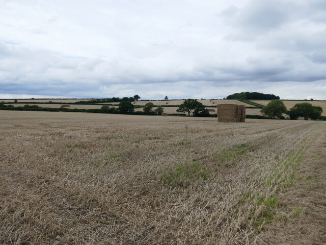
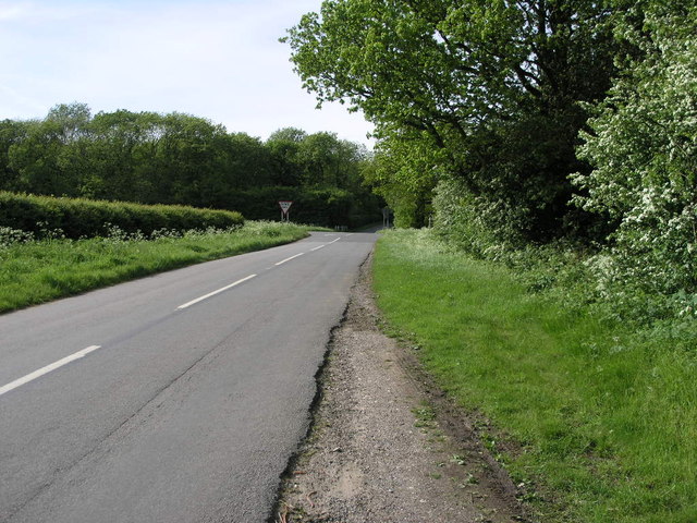
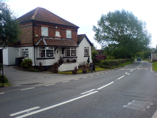
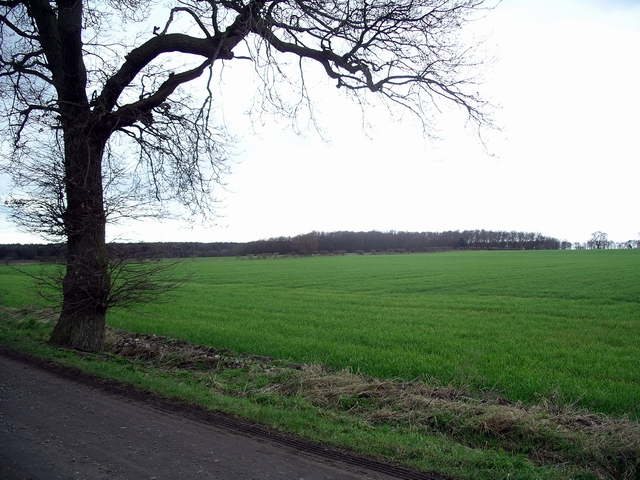
Images are sourced within 2km of 53.16777/-0.92133406 or Grid Reference SK7263. Thanks to Geograph Open Source API. All images are credited.

Stubble field, Caunton Common
Farm track near Norwell Woodhouse
Stubble field near Norwell Woodhouse
Church of St. Bartholomew, Kneesall This 13th century church stands in the centre of Kneesall on the A616 as it passes through the village on a sharp bend. It has recently undergone extensive re-roofing work.
Church of St. Bartholomew, Kneesall
This 13th century church stands in the centre of Kneesall on the A616 as it passes through the village on a sharp bend. It has recently undergone extensive re-roofing work.
Hare Hill
Hare Hill
Track to Park Farm & Brickyard Plantation, Kneesall Public right of way heading South from A616
Track to Park Farm & Brickyard Plantation, Kneesall
Public right of way heading South from A616
A616 Kneesall A616 entrance to Village of Kneesall, looking North-West.
A616 Kneesall
A616 entrance to Village of Kneesall, looking North-West.
Footpath to Kneesall This footpath joins with another on its way to Kneesall, the farm on the hill is Brockilow Farm.
Footpath to Kneesall
This footpath joins with another on its way to Kneesall, the farm on the hill is Brockilow Farm.
Kneesall Wood This wood covers a quarter of this square, the rest of the square being mostly fields.
Kneesall Wood
This wood covers a quarter of this square, the rest of the square being mostly fields.
Footpath to Laxton This footpath crosses the South Field of Laxton's three field system.  The power station in the distance is at High Marnham.
Footpath to Laxton
This footpath crosses the South Field of Laxton's three field system. The power station in the distance is at High Marnham.
Busy Crossroads This crossroads in Kneesall Wood is surprisingly busy with traffic, no doubt caused by the fact the road running left to right joins the A616 and the A1.
Busy Crossroads
This crossroads in Kneesall Wood is surprisingly busy with traffic, no doubt caused by the fact the road running left to right joins the A616 and the A1.
Comms Mast and Caravan The stormy sky behind the communication mast makes the thought of a week in the caravan even less appealing.
Comms Mast and Caravan
The stormy sky behind the communication mast makes the thought of a week in the caravan even less appealing.
Woods and Rainbow I assume this small woodland is still there but I expect the rainbow will be, like the sunshine it needs, long gone by now.
Woods and Rainbow
I assume this small woodland is still there but I expect the rainbow will be, like the sunshine it needs, long gone by now.
Track to Knapeney This track leads to Knapeney Farm.
Track to Knapeney
This track leads to Knapeney Farm.
Hedge of the Storm This hedge runs along the southern edge of this square.  The trees on the hill are part of High Wood.  Could the spell checkers amongst us please leave the title alone, it is intentional.
Hedge of the Storm
This hedge runs along the southern edge of this square. The trees on the hill are part of High Wood. Could the spell checkers amongst us please leave the title alone, it is intentional.
Bus Shelter and Farm This bus shelter has recently been re-roofed.  The bus route is not one of the busiest in the area.
Bus Shelter and Farm
This bus shelter has recently been re-roofed. The bus route is not one of the busiest in the area.
Path to Kneesall This well marked path leads to nearby Kneesall Lodge in the next square east.
Path to Kneesall
This well marked path leads to nearby Kneesall Lodge in the next square east.
The Angel Inn, Kneesall A nice village pub in Kneesall.
The Angel Inn, Kneesall
A nice village pub in Kneesall.
Show me another place!

Victoria Plantation is located at Grid Ref: SK7263 (Lat: 53.16777, Lng: -0.92133406)

Administrative County: Nottinghamshire

District: Newark and Sherwood

Police Authority: Nottinghamshire

What 3 Words

///president.mining.splits. Near Boughton, Nottinghamshire

Nearby Locations

Victoria Plantation

Related Wikis

St Bartholomew's Church, Kneesall

St Bartholomew’s Church, Kneesall is a Grade I listed Church of England parish in the Diocese of Southwell and Nottingham in Kneesall. == History == The...

Kneesall

Kneesall is a village and civil parish in the East Midlands of England in the county of Nottinghamshire. The population of the civil parish at the 2011...

Cratley

Cratley is a lost village in Nottinghamshire, England. It may have been located close to North Laithes Farm at Kneesall although an alternative site east...

Kersall

Kersall is a hamlet and civil parish within the Newark and Sherwood district of central Nottinghamshire, England. == Geography == The area is 11 miles...

Nearby Amenities

Located within 500m of 53.16777,-0.92133406
Source: GPS
Lat/Long: 53.1677668/-0.9160108
Generator Method: photovoltaic
Generator Output Electricity: yes
Generator Source: solar
Generator Type: solar_photovoltaic_panel
Location: roof
Power: generator
Lat/Long: 53.1692798/-0.915159
The data included in this document is from www.openstreetmap.org. The data is made available under ODbL.

Have you been to Victoria Plantation?

Leave your review of Victoria Plantation below (or comments, questions and feedback).