Whiteland Copse

Wood, Forest in Hampshire East Hampshire

England

Whiteland Copse

Looking towards the summit of Butser Hill
Looking towards the summit of Butser Hill Credit: David Martin

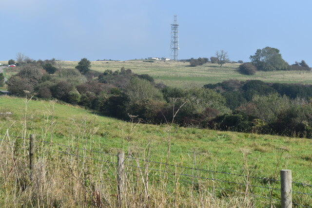
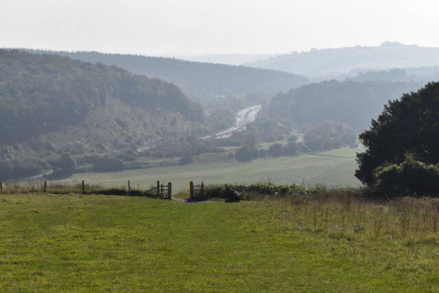
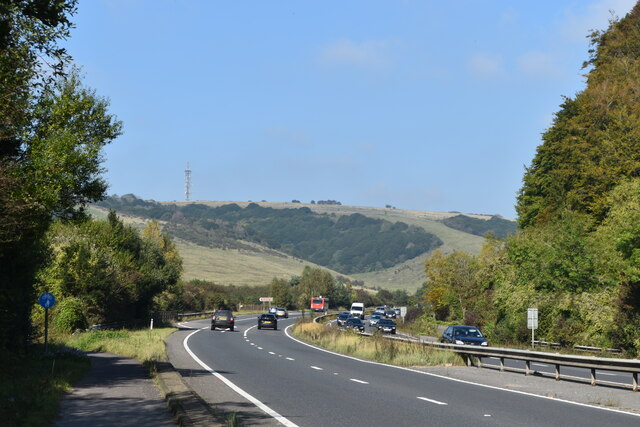
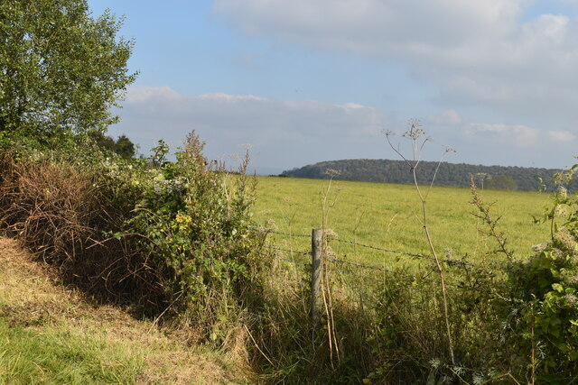
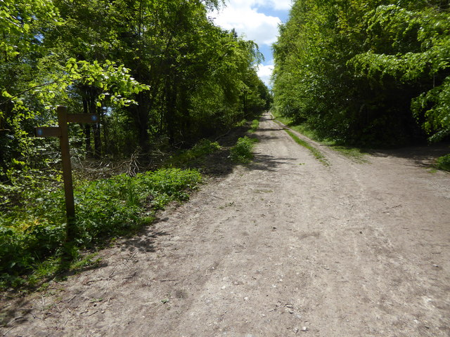
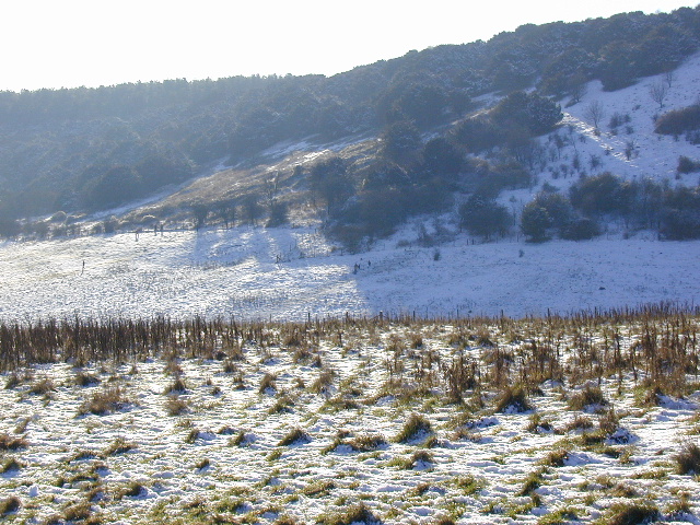
Whiteland Copse is a picturesque woodland located in Hampshire, England. Spanning over a vast area, this enchanting forest is a popular destination for nature enthusiasts and outdoor lovers alike.

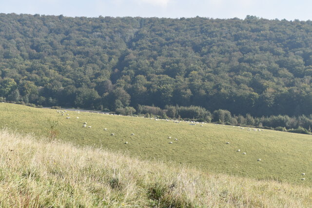
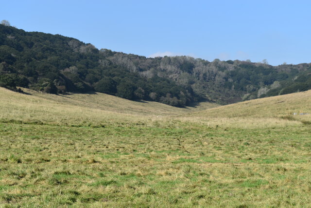
The copse is characterized by a diverse range of tree species, including oak, beech, birch, and holly, which create a rich and vibrant ecosystem. These towering trees provide ample shade and shelter, making it an ideal habitat for numerous wildlife species. Visitors can expect to encounter various bird species, such as woodpeckers, owls, and finches, along with small mammals like squirrels and rabbits.

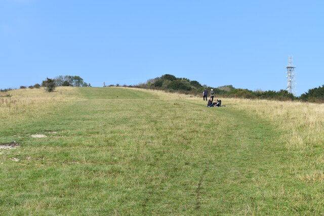
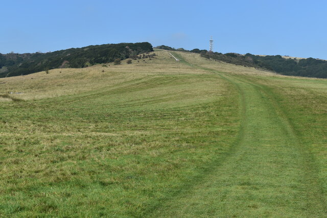
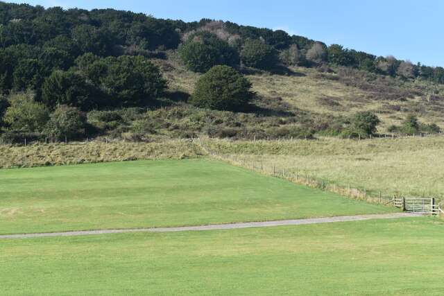
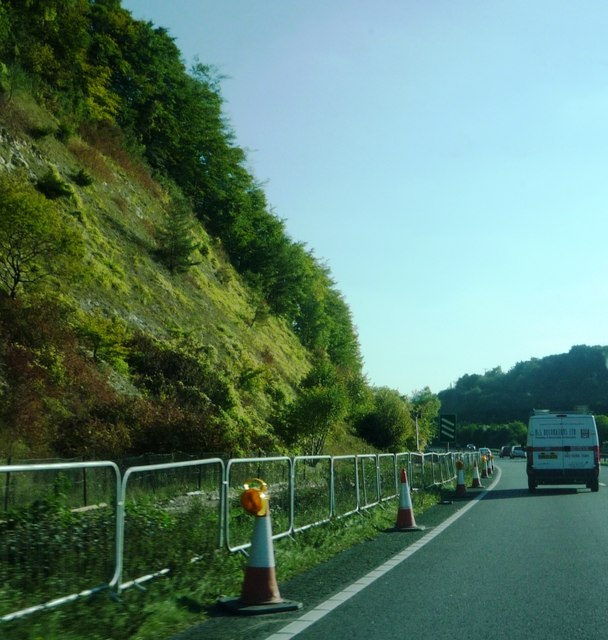
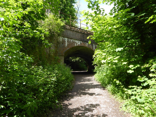
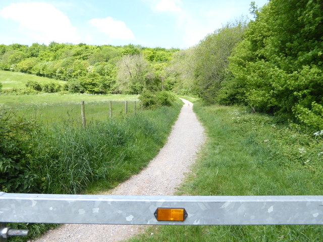
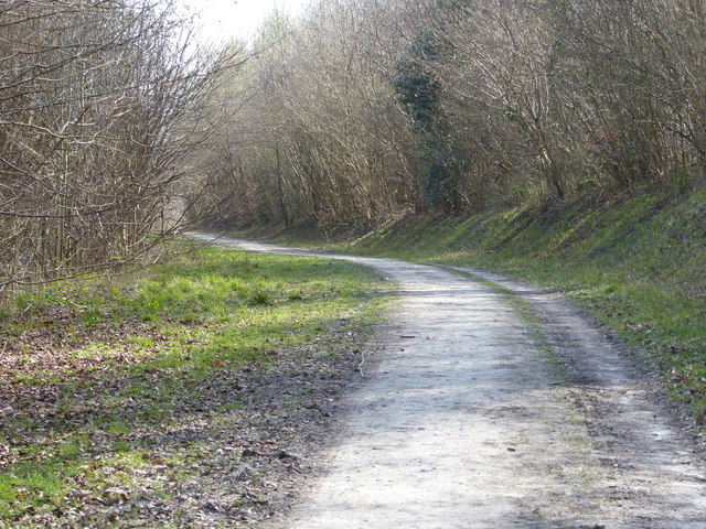
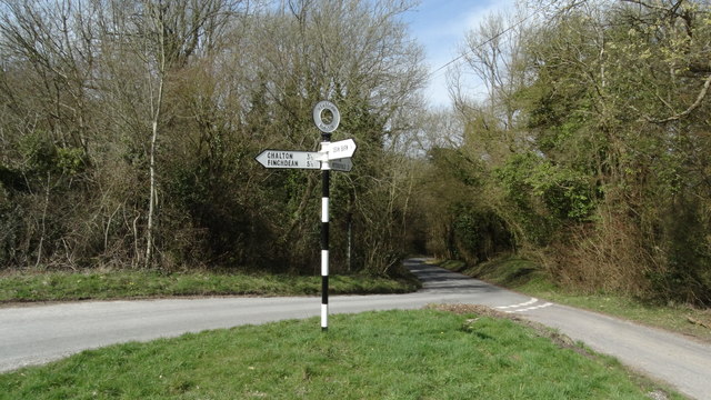
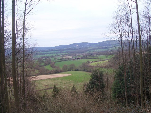
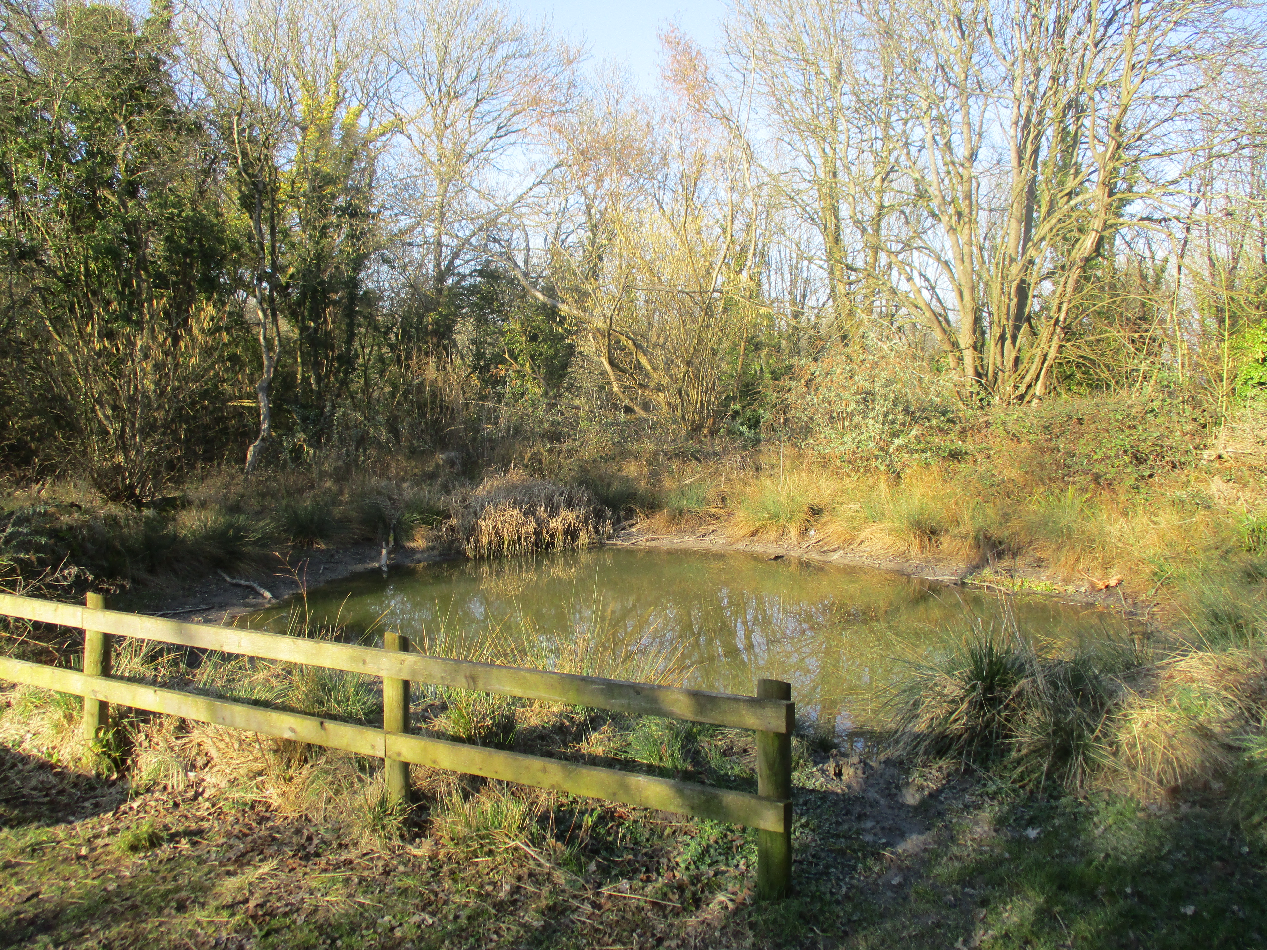
Traversing through Whiteland Copse, one can explore a network of well-maintained walking trails that meander through the forest. These paths offer stunning views of the surrounding landscape and lead to hidden gems such as tranquil ponds and clearings, where visitors can relax and take in the peaceful atmosphere.

The copse is also renowned for its seasonal beauty. In spring, the forest floor is adorned with a vibrant carpet of bluebells, creating a breathtaking sight. During autumn, the foliage transforms into a kaleidoscope of warm hues, providing a stunning backdrop for walks and photography.

Whiteland Copse is managed by local authorities, ensuring the preservation of its natural beauty and biodiversity. It is open to the public year-round and offers ample parking facilities for visitors. Whether you are seeking a peaceful retreat, a place for outdoor activities, or an opportunity to reconnect with nature, Whiteland Copse promises an unforgettable experience in the heart of Hampshire.

If you have any feedback on the listing, please let us know in the comments section below.

Whiteland Copse Images

Images are sourced within 2km of 50.980304/-0.97434502 or Grid Reference SU7220. Thanks to Geograph Open Source API. All images are credited.

Looking towards the summit of Butser Hill
View from Butser Hill, looking over the A3
View towards the summit of Butser Hill
Sheep grazing on Butser Hill The steep woodland is on the other side of the A3, just visible to left of centre.
Sheep grazing on Butser Hill
The steep woodland is on the other side of the A3, just visible to left of centre.
Curving grassy path up Butser Hill
Hillhampton Bottom Dry valley with hanging woodland, on the southern slopes of Butser Hill.
Hillhampton Bottom
Dry valley with hanging woodland, on the southern slopes of Butser Hill.
Field below Hillhampton Bottom
A3 below Butser Hill
Hedge and field beside Hogs Lodge Lane The distant trees are on War Down
Hedge and field beside Hogs Lodge Lane
The distant trees are on War Down
Steep edge on A3 Taken just before turn off to Park Centre
Steep edge on A3
Taken just before turn off to Park Centre
Shipwrights' Way 140 For the fourth time Shipwrights' Way crosses with the Portsmouth line.  See also <a title="https://www.geograph.org.uk/photo/3643056" href="https://www.geograph.org.uk/photo/3643056">Link</a>.
Shipwrights' Way 140
For the fourth time Shipwrights' Way crosses with the Portsmouth line. See also Link.
Shipwrights' Way 141 The route enters Queen Elizabeth Country Park.
Shipwrights' Way 141
The route enters Queen Elizabeth Country Park.
Shipwrights' Way 142 Here is a bridleway signpost for the SDW.  Shipwrights' Way shares the next mile with the SDW.  However the Hants CC interactive map shows the following section of the routes as a footpath rather than a bridleway but this should not be the case for the Shipwrights' Way.  Perhaps I have misunderstood something.  I also thought I had taken this image further south.  If anyone can help please do.
Shipwrights' Way 142
Here is a bridleway signpost for the SDW. Shipwrights' Way shares the next mile with the SDW. However the Hants CC interactive map shows the following section of the routes as a footpath rather than a bridleway but this should not be the case for the Shipwrights' Way. Perhaps I have misunderstood something. I also thought I had taken this image further south. If anyone can help please do.
The A3 Heading South Skirting the Queen Elizabeth Country Park. As seen on an overcast day.
The A3 Heading South
Skirting the Queen Elizabeth Country Park. As seen on an overcast day.
East Hampshire : London Road A3 Looking along London Road, the A3, heading through East Hampshire.
East Hampshire : London Road A3
Looking along London Road, the A3, heading through East Hampshire.
East Hampshire : London Road A3 Looking along London Road, the A3, heading through East Hampshire.
East Hampshire : London Road A3
Looking along London Road, the A3, heading through East Hampshire.
Shipwright's Way Queen Elizabeth country Park
Shipwright's Way
Queen Elizabeth country Park
Road junction & signpost above Buriton, Hants
Show me another place!

Whiteland Copse is located at Grid Ref: SU7220 (Lat: 50.980304, Lng: -0.97434502)

Administrative County: Hampshire

District: East Hampshire

Police Authority: Hampshire

What 3 Words

///tapers.fists.colder. Near Petersfield, Hampshire

Related Wikis

East Hampshire (UK Parliament constituency)

East Hampshire is a constituency represented in the House of Commons of the UK Parliament since 2010 by Damian Hinds of the Conservative Party.Further...

Butser Hill

Butser Hill is a hill and nature reserve in Hampshire, England. South-west of Petersfield, it is a 239.7-hectare (592-acre) biological and geological Site...

War Down

At 244 metres (801 ft), War Down is one of the highest hills in the county of Hampshire, England and the second highest summit in the Hampshire part of...

Weston, East Hampshire

Weston is a hamlet in the East Hampshire district of Hampshire, England. It is in the civil parish of Buriton. It is 1.4 miles (2.3 km) southwest of Petersfield...

Buriton Chalk Pit

Buriton Chalk Pit is a 5.7-hectare (14-acre) Local Nature Reserve near Buriton in Hampshire. It is owned by East Hampshire District Council and managed...

Queen Elizabeth Country Park

Queen Elizabeth Country Park is a large country park situated on the South Downs in southern England. It is located on the A3 road three miles south of...

Ditcham

Ditcham is a hamlet in the East Hampshire district of Hampshire, England. The hamlet lies on the Hampshire-West Sussex border. Its nearest town is Petersfield...

Oxenbourne Down, Clanfield

Oxenbourne Down, Clanfield is a 84.8-hectare (210-acre) Local Nature Reserve north of Clanfield in Hampshire. It is owned and managed by Hampshire County...

Nearby Amenities

Located within 500m of 50.980304,-0.97434502
Barrier: kissing_gate
Lat/Long: 50.9793155/-0.9764004
Barrier: kissing_gate
Source: survey
Lat/Long: 50.976884/-0.9768243
Man Made: survey_point
Operator: Ordnance Survey
Ref: S1501
Source: survey
Survey Point: pillar
Lat/Long: 50.9778382/-0.9802917
Pillow Mound
Archaeological Site: earthwork
Historic: archaeological_site
Historic Civilization: iron-age
Lat/Long: 50.9831801/-0.9765817
Cross Dykes
Archaeological Site: earthwork
Historic: archaeological_site
Lat/Long: 50.9797658/-0.9772601
Turning Circle
Lat/Long: 50.9796865/-0.96734
Barrier: kissing_gate
Lat/Long: 50.98373/-0.9756446
The data included in this document is from www.openstreetmap.org. The data is made available under ODbL.

Have you been to Whiteland Copse?

Leave your review of Whiteland Copse below (or comments, questions and feedback).