Airmyn New Wood

Wood, Forest in Yorkshire

England

Airmyn New Wood

Premier Inn outside Goole Close to M62.
Premier Inn outside Goole Credit: Russel Wills

Airmyn New Wood is a picturesque woodland located in the county of Yorkshire, England. Situated near the village of Airmyn, this enchanting forest covers an area of approximately 100 acres. The wood is a haven of natural beauty and tranquility, attracting visitors from near and far.

The wood is predominantly composed of deciduous trees, such as oak, birch, and beech, which create a dense canopy overhead, providing shade and shelter for the flora and fauna that call this woodland home. The forest floor is carpeted with a rich diversity of wildflowers, including bluebells, primroses, and wood anemones, which burst into a riot of color during the springtime.

A network of well-maintained footpaths and trails wind their way through the wood, offering visitors the opportunity to explore and immerse themselves in the serene surroundings. The paths meander alongside babbling brooks and small ponds, where visitors can often spot a variety of wildlife, including squirrels, rabbits, and a wide array of bird species.

Airmyn New Wood is a popular destination for nature enthusiasts, walkers, and families seeking a peaceful retreat from the hustle and bustle of everyday life. The wood offers excellent opportunities for birdwatching, photography, and simply enjoying the sights and sounds of nature. There are also picnic areas scattered throughout the wood, inviting visitors to relax and take in the tranquil ambiance.

Overall, Airmyn New Wood is a charming and idyllic woodland that showcases the beauty of nature in Yorkshire. With its diverse flora and fauna, well-maintained trails, and peaceful atmosphere, it provides the perfect escape for those seeking a connection with the natural world.

If you have any feedback on the listing, please let us know in the comments section below.

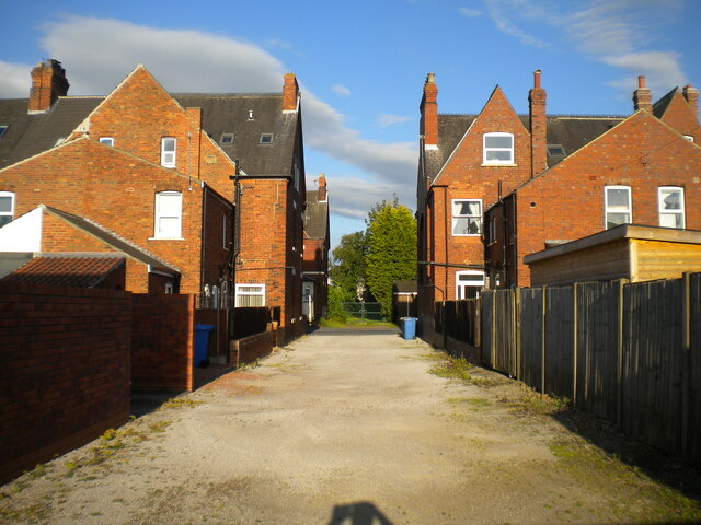
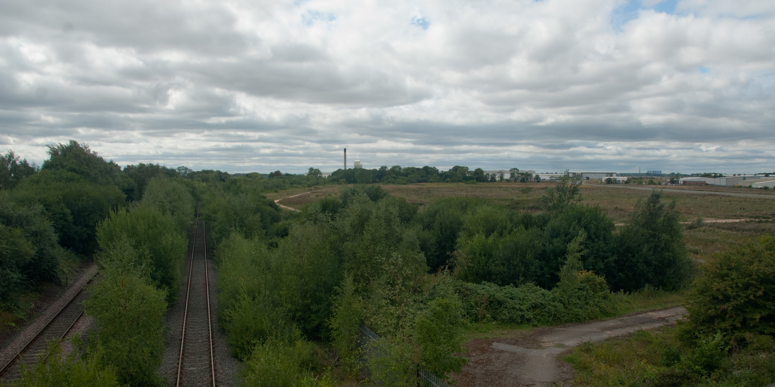
Airmyn New Wood Images

Images are sourced within 2km of 53.710781/-0.91099548 or Grid Reference SE7124. Thanks to Geograph Open Source API. All images are credited.

Premier Inn outside Goole Close to M62.
Premier Inn outside Goole
Close to M62.
Filling station and Spar shop Close to M62.
Filling station and Spar shop
Close to M62.
Fields by the A614
Fields by the A614
Airmyn Road
Airmyn Road
Lay-by at White City on the A614
Cottages on High Street, Airmyn Photo taken from the raised flood embankment of The River Aire.
Cottages on High Street, Airmyn
Photo taken from the raised flood embankment of The River Aire.
Modern houses by High Street, Airmyn
At the waste recycling centre on Airmyn Road
The clock tower in Airmyn The clock tower, designed by Henry Francis Lockwood of Bradford and built in 1865,  was paid for by the village population, to honour the memory of the second Earl of Beverley who funded the building of the nearby village school.
The clock tower in Airmyn
The clock tower, designed by Henry Francis Lockwood of Bradford and built in 1865, was paid for by the village population, to honour the memory of the second Earl of Beverley who funded the building of the nearby village school.
Pease Farm, Little Airmyn Seen across The River Aire
Pease Farm, Little Airmyn
Seen across The River Aire
St David's Church, Airmyn "The parish church of St David's is a Grade II listed building originally built in 1318 and extended in 1676. The roof was replaced with a new one of Westmorland slate in 1858, as part of refurbishments that also included a bellcote and a porch on the west end." (from Wikipedia)
St David's Church, Airmyn
"The parish church of St David's is a Grade II listed building originally built in 1318 and extended in 1676. The roof was replaced with a new one of Westmorland slate in 1858, as part of refurbishments that also included a bellcote and a porch on the west end." (from Wikipedia)
Flush Bracket OSBM G2445: Goole, Osborne House This flush bracket benchmark is on the side of a garage in Airmyn Road.  See <a title="https://www.geograph.org.uk/photo/7312273" href="https://www.geograph.org.uk/photo/7312273">Link</a> for a wider view and <span class="nowrap"><a title="https://www.bench-marks.org.uk/bm14602" rel="nofollow ugc noopener" href="https://www.bench-marks.org.uk/bm14602">Link</a><img style="margin-left:2px;" alt="External link" title="External link - shift click to open in new window" src="https://s1.geograph.org.uk/img/external.png" width="10" height="10"/></span> for details of the mark.
Flush Bracket OSBM G2445: Goole, Osborne House
This flush bracket benchmark is on the side of a garage in Airmyn Road. See Link for a wider view and LinkExternal link for details of the mark.
A garage on Airmyn Road, Goole Just visible around the right-hand angle is a flush bracket benchmark.  See <a title="https://www.geograph.org.uk/photo/7312270" href="https://www.geograph.org.uk/photo/7312270">Link</a> for a close-up and <span class="nowrap"><a title="https://www.bench-marks.org.uk/bm14602" rel="nofollow ugc noopener" href="https://www.bench-marks.org.uk/bm14602">Link</a><img style="margin-left:2px;" alt="External link" title="External link - shift click to open in new window" src="https://s1.geograph.org.uk/img/external.png" width="10" height="10"/></span> for details of the mark.
A garage on Airmyn Road, Goole
Just visible around the right-hand angle is a flush bracket benchmark. See Link for a close-up and LinkExternal link for details of the mark.
Lane off Clifton Gardens, Goole (2)
Woodside  transport  cafe  on  Rawcliffe  Road Before the M62 was built this was a transport cafe, 60 years to my knowledge
Woodside transport cafe on Rawcliffe Road
Before the M62 was built this was a transport cafe, 60 years to my knowledge
Toward  Airmyn  Road  Roundabout  on  Rawcliffe  Road Large service area to the right, just off M62 Junction 36
Toward Airmyn Road Roundabout on Rawcliffe Road
Large service area to the right, just off M62 Junction 36
Slip  road  down  onto  M62  eastbound  at  Junction  36 Due to major structural work on the Ouse Bridge the M62 has a 30 mph limit not only on the bridge but a couple of miles either side of it
Slip road down onto M62 eastbound at Junction 36
Due to major structural work on the Ouse Bridge the M62 has a 30 mph limit not only on the bridge but a couple of miles either side of it
Woodside cafe on Rawcliffe Road
Show me another place!

Airmyn New Wood is located at Grid Ref: SE7124 (Lat: 53.710781, Lng: -0.91099548)

Division: West Riding

Unitary Authority: East Riding of Yorkshire

Police Authority: Humberside

What 3 Words

///storyline.dreamer.pulled. Near Airmyn, East Yorkshire

Nearby Locations

Airmyn New Wood

Related Wikis

West Park, Goole

West Park is an urban park in Goole, East Riding of Yorkshire, England. It was opened in 1923 and is the largest park in the town. == History == The park...

Airmyn

Airmyn is a village and civil parish in the East Riding of Yorkshire, England. It is situated at the mouth of the River Aire with the River Ouse, approximately...

Siemens Goole

Siemens Goole is a train factory located in Goole, East Riding of Yorkshire, England. Siemens Mobility assessed several sites in the United Kingdom before...

Goole Academy

Goole Academy, is a mixed 11–18 secondary school located in Goole, East Riding of Yorkshire, England. It is situated just off the A614 road in the east...

Nearby Amenities

Located within 500m of 53.710781,-0.91099548
Operator: GPSS
Operator Wikidata: Q5589032
Pipeline: marker
Subject: pipeline
Substance: oil
Support: pole
Lat/Long: 53.7064511/-0.9123507
Operator: GPSS
Operator Wikidata: Q5589032
Pipeline: marker
Subject: pipeline
Substance: oil
Support: ground
Lat/Long: 53.7066943/-0.9122563
The data included in this document is from www.openstreetmap.org. The data is made available under ODbL.

Have you been to Airmyn New Wood?

Leave your review of Airmyn New Wood below (or comments, questions and feedback).