East Clandon

Settlement in Surrey Guildford

England

East Clandon

Stable yard, Hatchlands House The stable yard of Hatchlands House, a National Trust property near Guildford.
Stable yard, Hatchlands House Credit: Alan Hunt

East Clandon is a small village located in the county of Surrey, England. Situated approximately 7 miles east of Guildford, the village is nestled in the green and picturesque landscape of the Surrey Hills Area of Outstanding Natural Beauty.

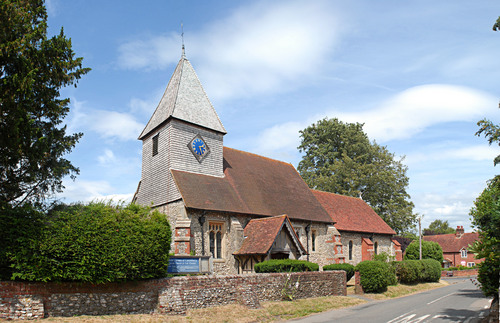
With a population of just over 500 residents, East Clandon retains a quaint and peaceful ambiance. The village is characterized by its charming and well-preserved historic buildings, including a 12th-century church, St. Thomas of Canterbury, which serves as a focal point for the community.

The village is surrounded by beautiful countryside, offering numerous opportunities for outdoor activities such as walking, cycling, and horse riding. The nearby Newlands Corner, a popular viewpoint, provides stunning panoramic views of the Surrey Hills and is a favorite spot for picnics and leisurely walks.

Despite its small size, East Clandon has a strong community spirit. The village hosts various events throughout the year, including an annual summer fete, which brings together residents and visitors alike. The local pub, The Queen's Head, serves as a hub for socializing and enjoying traditional British cuisine.

East Clandon's proximity to Guildford offers convenient access to a range of amenities and services, including shopping centers, restaurants, and cultural attractions. The village is well-connected by road, with easy access to the A3 and M25 motorways, making it an attractive residential location for those seeking a peaceful countryside lifestyle within commuting distance of larger towns and cities.

Overall, East Clandon offers a tranquil and idyllic setting, with its historic charm, natural beauty, and strong community spirit making it a delightful place to live or visit.

If you have any feedback on the listing, please let us know in the comments section below.
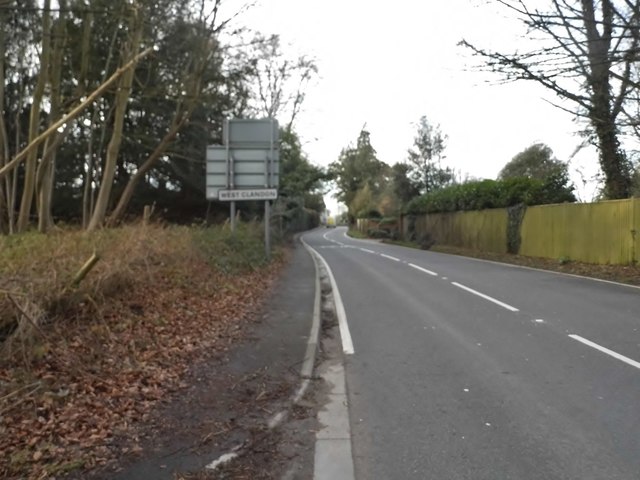
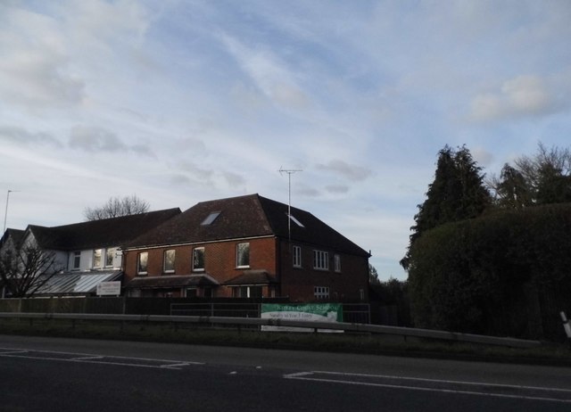
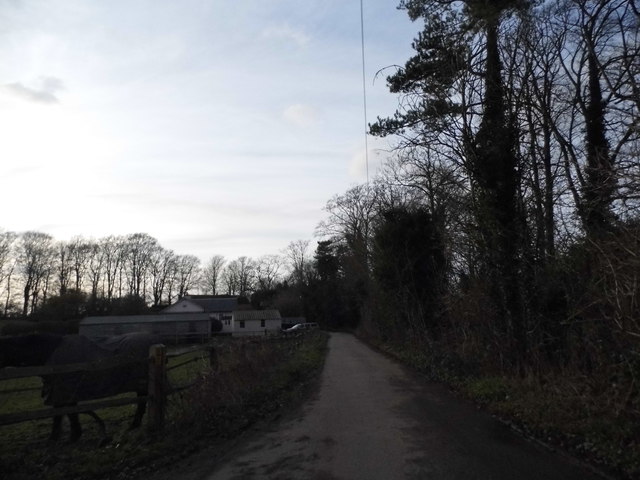
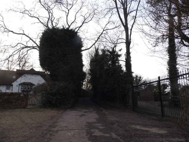
East Clandon Images

Images are sourced within 2km of 51.254809/-0.481785 or Grid Reference TQ0651. Thanks to Geograph Open Source API. All images are credited.

Stable yard, Hatchlands House The stable yard of Hatchlands House, a National Trust property near Guildford.
Stable yard, Hatchlands House
The stable yard of Hatchlands House, a National Trust property near Guildford.
Dexter cattle, Hatchlands Park Dexter cattle in Hatchlands Park, A National Trust property near Guildford.
Dexter cattle, Hatchlands Park
Dexter cattle in Hatchlands Park, A National Trust property near Guildford.
The barn, Hatchlands Park The former barn in Little Wix Wood.
The barn, Hatchlands Park
The former barn in Little Wix Wood.
Dexter cattle, Hatchland Park Dexter cattle in the parkland of this National Trust property near Guildford.
Dexter cattle, Hatchland Park
Dexter cattle in the parkland of this National Trust property near Guildford.
Walled garden, Hatchland Park The wall around the kitchen garden of Hatchlands Park, an 18th century mansion now managed by the National Trust.
Walled garden, Hatchland Park
The wall around the kitchen garden of Hatchlands Park, an 18th century mansion now managed by the National Trust.
Fullers Farm, Hatchlands Park The access road to Fullers Farm in the National Trust's Hatchlands Park.
Fullers Farm, Hatchlands Park
The access road to Fullers Farm in the National Trust's Hatchlands Park.
Barn, Fullers Farm The old barn of Fullers Farm in the National Trust's Hatchlands Park.
Barn, Fullers Farm
The old barn of Fullers Farm in the National Trust's Hatchlands Park.
The Street, West Clandon
Woods by The Street, West Clandon
The Street, West Clandon
Houses on Epsom Road, East Clandon
Blakes Lane, East Clandon
Wix Lane, West Horsley
Farm track off Blakes Lane
Blakes Lane, West Horsley
Epsom Road at the junction of The Street
Central reservation on Epsom Road, East Clandon By the junction of the Street
Central reservation on Epsom Road, East Clandon
By the junction of the Street
Show me another place!

East Clandon is located at Grid Ref: TQ0651 (Lat: 51.254809, Lng: -0.481785)

Administrative County: Surrey

District: Guildford

Police Authority: Surrey

What 3 Words

///filled.laptop.modest. Near West Clandon, Surrey

Related Wikis

East Clandon

East Clandon is a village and civil parish in Surrey, England on the A246 between the towns of Guildford to the west and Leatherhead to the east. Neighbouring...
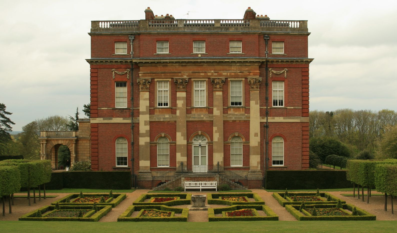
Hatchlands Park

Hatchlands Park is a red-brick country house with surrounding gardens in East Clandon, Surrey, England, covering 170 hectares (430 acres). It is located...

Clandon railway station

Clandon railway station is located in the village of West Clandon in Surrey, England. It is 25 miles 26 chains (40.8 km) down the line from London Waterloo...

North Downs

The North Downs are a ridge of chalk hills in south east England that stretch from Farnham in Surrey to the White Cliffs of Dover in Kent. Much of the...

Clandon Park House

Clandon Park House is an early 18th-century grade I listed Palladian mansion in West Clandon, near Guildford in Surrey.It stands in the south east corner...

West Clandon

West Clandon is a village in Surrey, England within 1 mile of the A3. It is situated one mile north west of the much smaller separate village of East Clandon...

West Horsley

West Horsley is a semi-rural village between Guildford and Leatherhead in Surrey, England. It lies on the A246, and south of the M25 and the A3. Its civil...

HM Prison Send

HM Prison Send is a closed category women's prison in the extreme south of Ripley nearer Send in Surrey, England. Its post town is Woking. The prison...

Nearby Amenities

Located within 500m of 51.254809,-0.481785
The Tithe Barn
Building: yes
Description: Barn is listed in the Domesday book
Historic: building
Lat/Long: 51.2551563/-0.4819138
Post Box
Post Box Type: wall
Postal Code: GU4
Ref: GU4 142
Source: photo
Lat/Long: 51.2552792/-0.481642
Noexit: yes
Lat/Long: 51.2532904/-0.4808361
Bus Stop
Hatchlands
Addr City: East Clandon
Addr Street: Epsom Road
Bench: yes
Naptan AtcoCode: 40004407313A
Naptan Bearing: E
Naptan CommonName: Hatchlands
Naptan Indicator: Just Before
Naptan Landmark: Hatchlands
Naptan NaptanCode: suratagt
Naptan Street: Epsom Road
Naptan Verified: no
Public Transport: platform
Shelter: yes
Source: naptan_import
Website: http://nextbuses.mobi/WebView/BusStopSearch/BusStopSearchResults/suratagt?currentPage=0
Wheelchair: limited
Wheelchair Description: Not Step-free to opposite stop or New Road. Step-free to Hatchlands via long downhill drive with humps.
Lat/Long: 51.253375/-0.4790608
Bus Stop
Hatchlands
Addr City: East Clandon
Addr Street: Epsom Road
Naptan AtcoCode: 40004407313B
Naptan Bearing: W
Naptan BusStopType: CUS
Naptan CommonName: Hatchlands
Naptan Indicator: Just after
Naptan Landmark: Hatchlands
Naptan NaptanCode: surgpdma
Naptan Street: Epsom Road
Naptan Verified: no
Public Transport: platform
Shelter: no
Source: naptan_import
Website: http://nextbuses.mobi/WebView/BusStopSearch/BusStopSearchResults/surgpdma?currentPage=0
Wheelchair: no
Wheelchair Description: Not Step-free from verge to opposite stop and Hatchlands. No bus stop sign on this side
Lat/Long: 51.2532843/-0.4788811
Bus Stop
Epsom Road
Bench: no
Naptan AtcoCode: 40004407314A
Naptan Bearing: E
Naptan CommonName: Epsom Road
Naptan Indicator: Just after
Naptan Landmark: Epsom Road
Naptan NaptanCode: suratagw
Naptan Street: Epsom Road
Naptan Verified: no
Public Transport: platform
Shelter: no
Source: naptan_import
Wheelchair: yes
Wheelchair Description: Step-free to stop opposite via footway along Old Epsom Road behind fence to north, and across central reservation
Lat/Long: 51.2529775/-0.4872489
Bus Stop
Epsom Road
Bench: fixme: tall grass in photo
Naptan AtcoCode: 40004407314B
Naptan Bearing: W
Naptan CommonName: Epsom Road
Naptan Indicator: Just Before
Naptan Landmark: Epsom Road
Naptan NaptanCode: surataja
Naptan Street: Epsom Road
Naptan Verified: no
Public Transport: platform
Shelter: yes
Source: naptan_import
Wheelchair: yes
Lat/Long: 51.2528387/-0.4850246
Barrier: stile
Lat/Long: 51.2532572/-0.4861906
Barrier: stile
Lat/Long: 51.2549476/-0.4848364
East Clandon
Place: hamlet
Source: OS_OpenData_VectorMapDistrict
Lat/Long: 51.2568306/-0.4826123
Historic: memorial
Memorial: war_memorial
Lat/Long: 51.2550429/-0.4818555
Defibrillator
Emergency: defibrillator
Indoor: no
Lat/Long: 51.254648/-0.4823855
The data included in this document is from www.openstreetmap.org. The data is made available under ODbL.

Have you been to East Clandon?

Leave your review of East Clandon below (or comments, questions and feedback).