Cant's Thorns

Wood, Forest in Leicestershire Melton

England

Cant's Thorns

Bridleway to Wartnaby
Bridleway to Wartnaby Credit: Jonathan Thacker

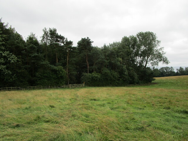
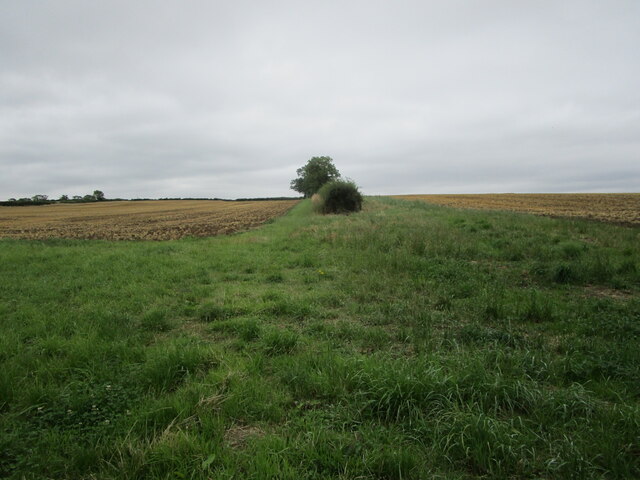
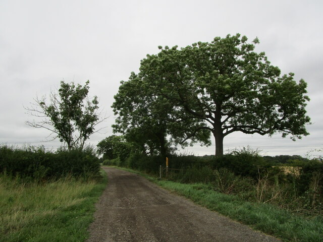
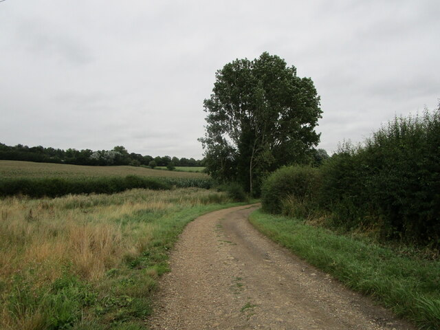
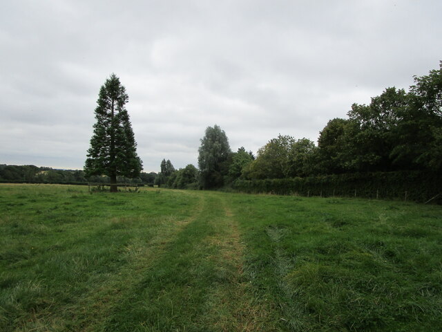
Cant's Thorns is a beautiful woodland area located in Leicestershire, England. Spanning over a vast area, it is known for its dense forest and magnificent thorn trees that give the place its name. The wood is situated on the eastern side of the county, near the village of Woodhouse Eaves.

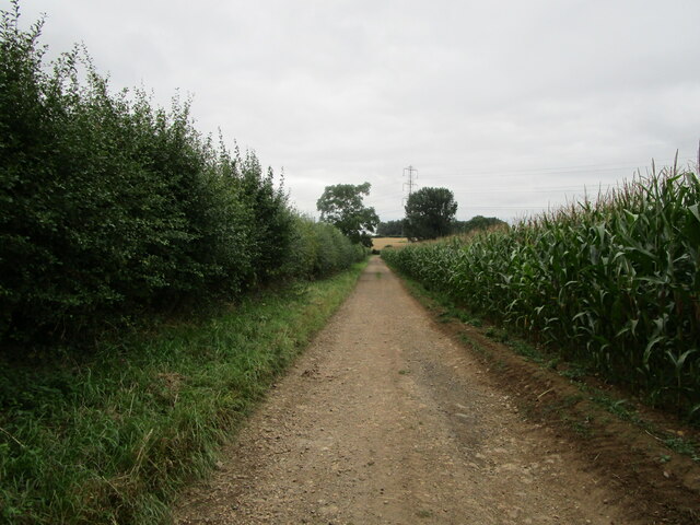
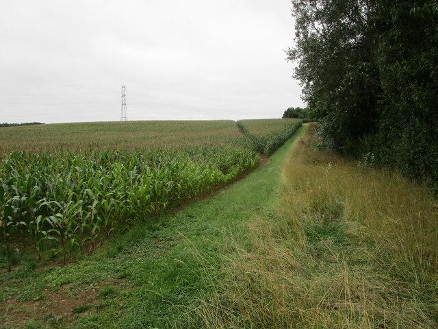
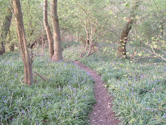
The woodland is a haven for nature lovers and offers a tranquil escape from the hustle and bustle of everyday life. It is home to a diverse range of flora and fauna, with an abundance of native tree species such as oak, birch, and beech. The forest floor is covered in a carpet of bluebells and wildflowers during the spring, creating a picturesque scene.

Cant's Thorns is also an ideal location for birdwatching enthusiasts, as it attracts a variety of bird species throughout the year. Visitors may spot woodpeckers, owls, and various songbirds among the treetops. The wood is also home to a number of small mammals, including foxes, badgers, and squirrels.

The area is a popular destination for recreational activities such as walking, hiking, and picnicking. There are several well-maintained trails that wind through the woodland, allowing visitors to explore its natural beauty at their own pace. The paths are suitable for all ages and abilities, making it a family-friendly destination.

Overall, Cant's Thorns in Leicestershire is a picturesque woodland that offers a peaceful retreat for nature enthusiasts. Its diverse flora and fauna, coupled with its well-maintained trails, make it a must-visit location for those seeking to reconnect with nature.

If you have any feedback on the listing, please let us know in the comments section below.

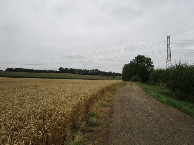
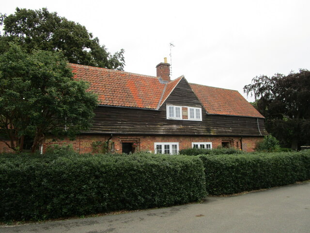
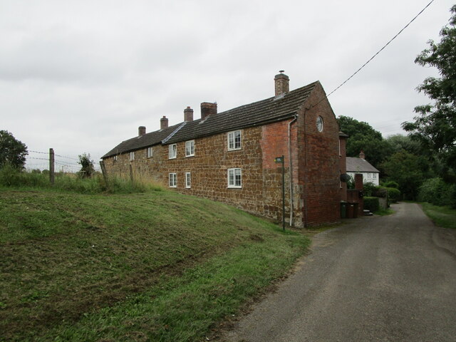
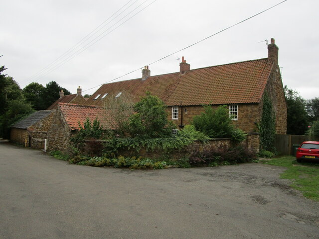
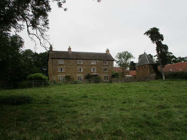
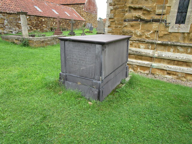
Cant's Thorns Images

Images are sourced within 2km of 52.789545/-0.93674633 or Grid Reference SK7121. Thanks to Geograph Open Source API. All images are credited.

Bridleway to Wartnaby
Cottages at Wartnaby Date from the 1930s.
Cottages at Wartnaby
Date from the 1930s.
Cottages, Spring Lane, Wartnaby
Bridleway approaching woodland near Wartnaby The bridleway seemed little used, the grass being long and wet.
Bridleway approaching woodland near Wartnaby
The bridleway seemed little used, the grass being long and wet.
Hedge between two stubble fields near Saxelbye
Former schoolroom, Saxelbye Dates from the mid nineteenth century <span class="nowrap"><a title="https://historicengland.org.uk/listing/the-list/list-entry/1391384" rel="nofollow ugc noopener" href="https://historicengland.org.uk/listing/the-list/list-entry/1391384">Link</a><img style="margin-left:2px;" alt="External link" title="External link - shift click to open in new window" src="https://s1.geograph.org.uk/img/external.png" width="10" height="10"/></span>
Former schoolroom, Saxelbye
Dates from the mid nineteenth century LinkExternal link
Coal stacks, Holwell Works
Bridleway to Grimston
Bridleway to Wartnaby
Bend in a bridleway to Wartnaby
Bridleway to Grimston Alongside a field of maize.
Bridleway to Grimston
Alongside a field of maize.
Footpath to Old Dalby Cuts through a field of maize.
Footpath to Old Dalby
Cuts through a field of maize.
Wartnaby House, tradesmen's entrance
Cottages at Wartnaby
Church Farmhouse, Wartnaby Dated from about 1800 <span class="nowrap"><a title="https://historicengland.org.uk/listing/the-list/list-entry/1178265" rel="nofollow ugc noopener" href="https://historicengland.org.uk/listing/the-list/list-entry/1178265">Link</a><img style="margin-left:2px;" alt="External link" title="External link - shift click to open in new window" src="https://s1.geograph.org.uk/img/external.png" width="10" height="10"/></span> The dovecote on the right is broadly contemporary <span class="nowrap"><a title="https://historicengland.org.uk/listing/the-list/list-entry/1178267" rel="nofollow ugc noopener" href="https://historicengland.org.uk/listing/the-list/list-entry/1178267">Link</a><img style="margin-left:2px;" alt="External link" title="External link - shift click to open in new window" src="https://s1.geograph.org.uk/img/external.png" width="10" height="10"/></span>
Church Farmhouse, Wartnaby
Dated from about 1800 LinkExternal link The dovecote on the right is broadly contemporary LinkExternal link
Chest tomb at Wartnaby Dated 1737 <span class="nowrap"><a title="https://historicengland.org.uk/listing/the-list/list-entry/1360845" rel="nofollow ugc noopener" href="https://historicengland.org.uk/listing/the-list/list-entry/1360845">Link</a><img style="margin-left:2px;" alt="External link" title="External link - shift click to open in new window" src="https://s1.geograph.org.uk/img/external.png" width="10" height="10"/></span>
Chest tomb at Wartnaby
Dated 1737 LinkExternal link
Chest tomb at Wartnaby Dated 1799 <span class="nowrap"><a title="https://historicengland.org.uk/listing/the-list/list-entry/1178259" rel="nofollow ugc noopener" href="https://historicengland.org.uk/listing/the-list/list-entry/1178259">Link</a><img style="margin-left:2px;" alt="External link" title="External link - shift click to open in new window" src="https://s1.geograph.org.uk/img/external.png" width="10" height="10"/></span>
Chest tomb at Wartnaby
Dated 1799 LinkExternal link
Bridleway to Saxelbye
Show me another place!

Cant's Thorns is located at Grid Ref: SK7121 (Lat: 52.789545, Lng: -0.93674633)

Administrative County: Leicestershire

District: Melton

Police Authority: Leicestershire

What 3 Words

///salad.lamenting.segments. Near Asfordby, Leicestershire

Related Wikis

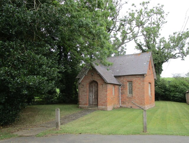
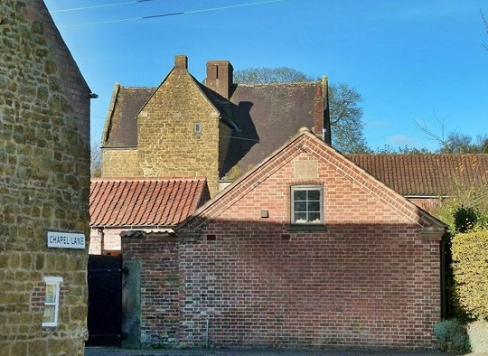
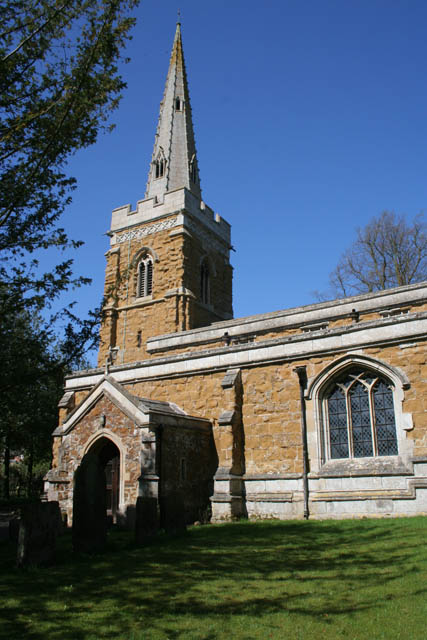
St James' Church, Ab Kettleby

St James’ Church, Ab Kettleby is a Grade II* listed parish church in the Church of England in Ab Kettleby, Leicestershire. == History == The church dates...

Ab Kettleby Manor

Ab Kettleby Manor is an early 17th-century house in the village of Ab Kettleby, Leicestershire. Built of ironstone with a central brick chimney the house...

Ab Kettleby

Ab Kettleby is a village and civil parish in the Melton district of Leicestershire, England, located 3 miles (4.8 km) north of Melton Mowbray, on the A606...
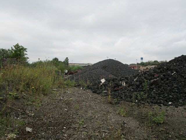
Asfordby Colliery

Asfordby Colliery (also known as Asfordby super-pit and Asfordby Mine) was a coal mine located in the village of Asfordby, near to Melton Mowbray in Leicestershire...

Saxelbye

Saxelbye (or Saxelby) is a small village and former civil parish, now in the parish of Grimston, in the district of Melton in Leicestershire, England....

Grimston railway station

Grimston was a railway station serving Saxelbye village in the English county of Leicestershire. It was opened on the Nottingham direct line of the Midland...

Holwell Sports F.C.

Holwell Sports Football Club is a football club based in Asfordby Hill, near Melton Mowbray, Leicestershire, England. They are currently members of the...

Holwell Mouth

Holwell Mouth is a 14.5-hectare (36-acre) biological Site of Special Scientific Interest south-east of Nether Broughton in Leicestershire. It is common...

Nearby Amenities

Located within 500m of 52.789545,-0.93674633
Barrier: entrance
Source: survey (view from road)
Lat/Long: 52.792884/-0.9336713
Fixme: coninue
Lat/Long: 52.788716/-0.9325066
The data included in this document is from www.openstreetmap.org. The data is made available under ODbL.

Have you been to Cant's Thorns?

Leave your review of Cant's Thorns below (or comments, questions and feedback).