Barbara's Wood
Wood, Forest in Nottinghamshire Rushcliffe
England
Barbara's Wood
Barbara's Wood is a picturesque forest located in Nottinghamshire, England. Covering an area of approximately 500 acres, it is a haven for nature enthusiasts and outdoor enthusiasts alike. The wood is named after Barbara, a prominent figure in the local community who dedicated much of her life to its preservation and conservation.
The forest is primarily composed of deciduous trees, including oak, beech, and ash, which provide a stunning display of colors during the autumn months. The dense canopy created by these trees offers a cool and shady retreat during the summer, making it a popular spot for picnics and leisurely walks. The forest floor is home to a variety of wildflowers and ferns, adding to the area's natural beauty.
Several well-maintained trails wind their way through Barbara's Wood, allowing visitors to explore its diverse ecosystem. These trails cater to all levels of fitness and vary in length, providing options for short strolls or longer hikes. Along the way, hikers may come across a variety of wildlife, including deer, rabbits, and a range of bird species, making it a haven for birdwatchers.
Barbara's Wood also has a rich history, with evidence of human habitation dating back centuries. Archaeological finds, including ancient burial mounds and remnants of settlements, highlight the area's significance. Interpretive signs and information boards are scattered throughout the wood, providing visitors with insights into the forest's past.
Overall, Barbara's Wood is a natural treasure within Nottinghamshire, offering a peaceful and scenic escape from the hustle and bustle of daily life. Whether it's for a leisurely walk, a family outing, or a chance to immerse oneself in nature, this woodland sanctuary provides an unforgettable experience.
If you have any feedback on the listing, please let us know in the comments section below.
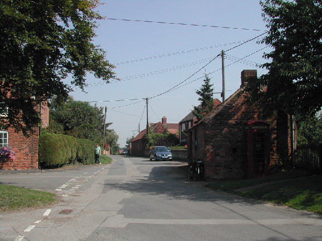
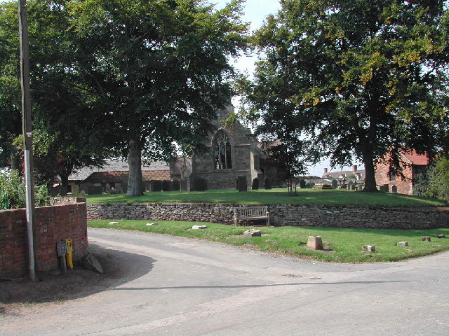
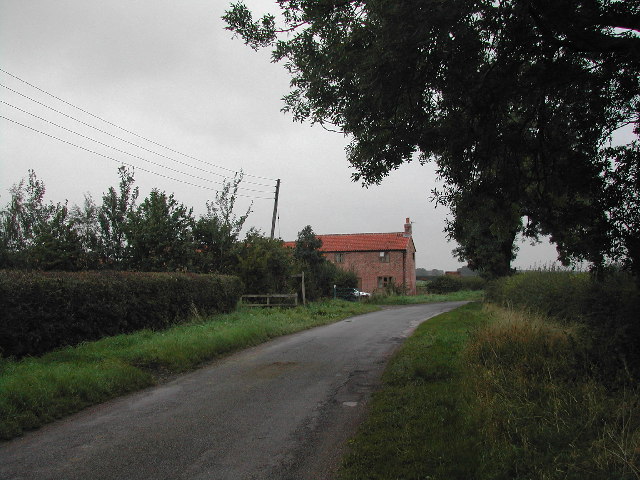
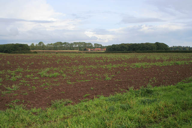
Barbara's Wood Images
Images are sourced within 2km of 52.997914/-0.93233597 or Grid Reference SK7145. Thanks to Geograph Open Source API. All images are credited.


Barbara's Wood is located at Grid Ref: SK7145 (Lat: 52.997914, Lng: -0.93233597)
Administrative County: Nottinghamshire
District: Rushcliffe
Police Authority: Nottinghamshire
What 3 Words
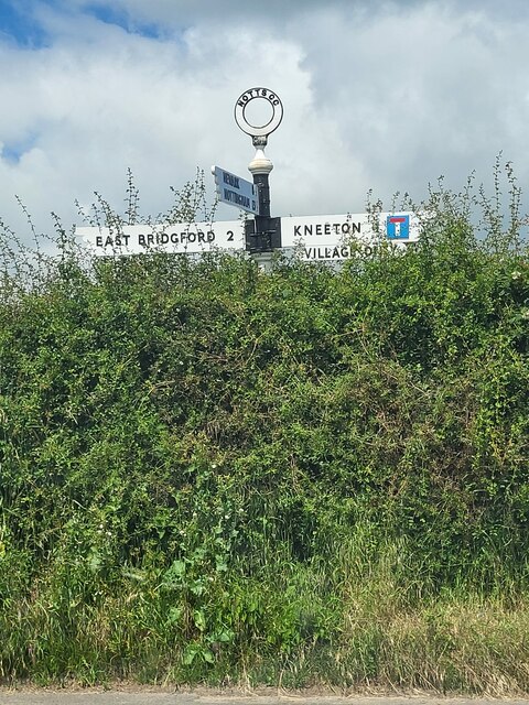
///obligated.tumblers.copy. Near East Bridgford, Nottinghamshire
Nearby Locations
Related Wikis

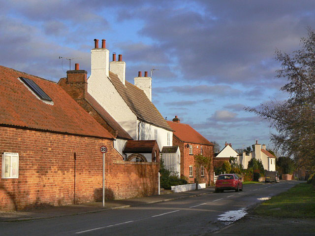
Kneeton
Kneeton is a village in the county of Nottinghamshire, England. The population as of the 2011 census remained less than 100. It is included in the civil...

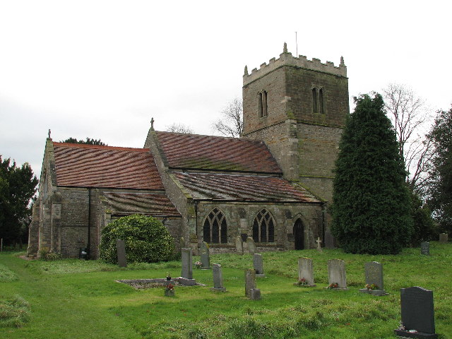
St Helen's Church, Kneeton
St Helen's Church, Kneeton is a Grade II listed parish church in the Church of England in Kneeton, Nottinghamshire, England. == History == The church was...
St Wilfrid's Church, Screveton
St Wilfrid's Church, Screveton is a Grade I listed parish church in the Church of England in Screveton. == History == The church dates from the 13th century...
Screveton
Screveton (pronounced locally "Screveeton" or "Screeton") is an English parish and village in the Rushcliffe borough of Nottinghamshire, with about 100...
Nearby Amenities
Located within 500m of 52.997914,-0.93233597Have you been to Barbara's Wood?
Leave your review of Barbara's Wood below (or comments, questions and feedback).