Havant Thicket

Wood, Forest in Hampshire East Hampshire

England

Havant Thicket

Open space beside Grassmere Way
Open space beside Grassmere Way Credit: David Martin

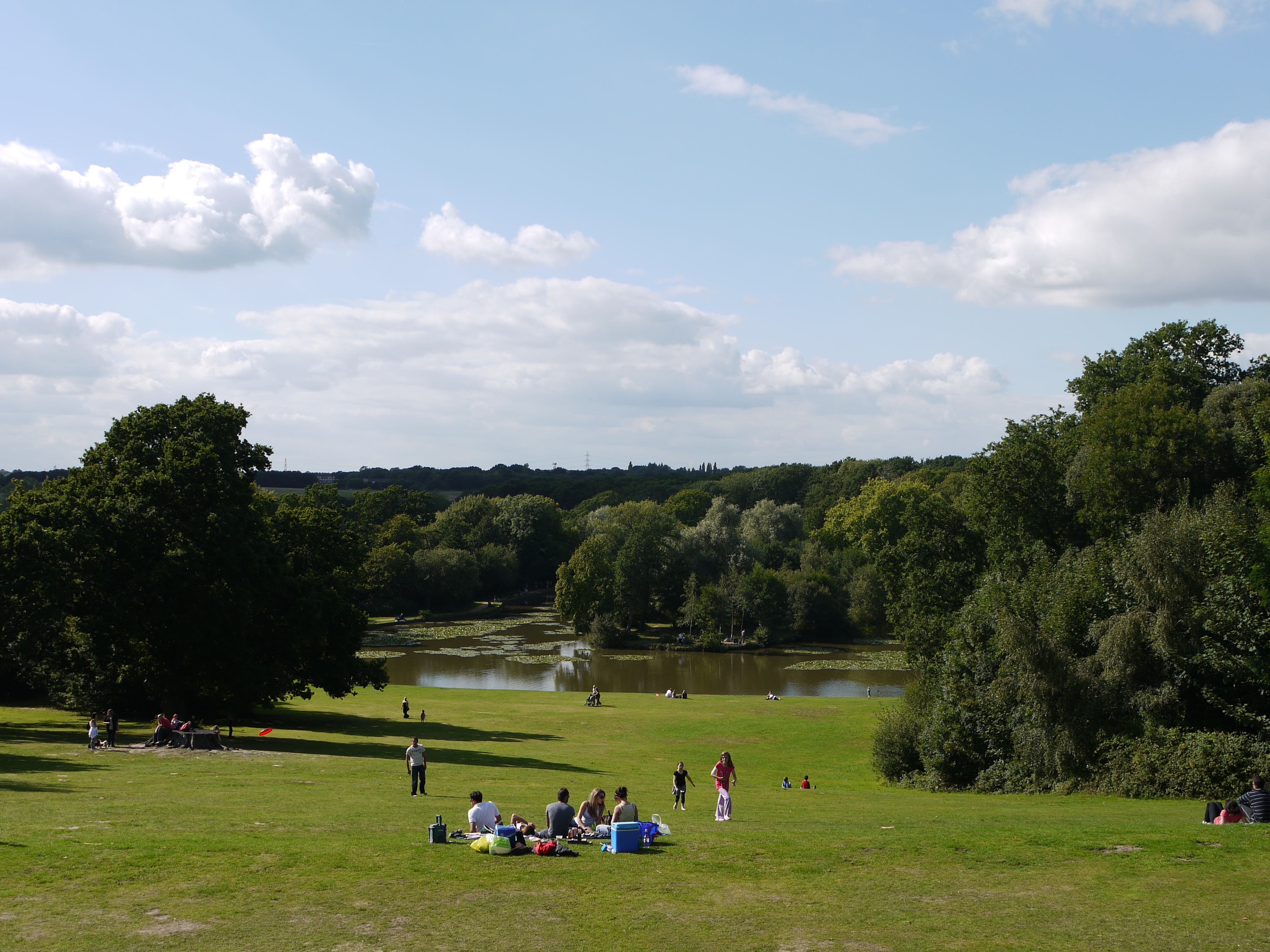
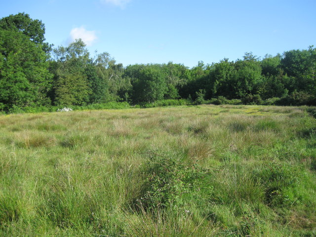
Havant Thicket is a picturesque woodland area located in Hampshire, England. Covering an area of approximately 200 hectares, it is a popular destination for nature enthusiasts and outdoor enthusiasts alike. The forest is situated near the town of Havant, making it easily accessible for both locals and visitors from nearby areas.

The woodland is predominantly composed of a variety of tree species, including oak, beech, and birch trees, creating a rich and diverse habitat for wildlife. It is home to a wide range of flora and fauna, making it an important conservation area. Visitors can expect to see a plethora of bird species, such as woodpeckers, nuthatches, and blue tits, as well as various mammals, including deer, foxes, and rabbits.

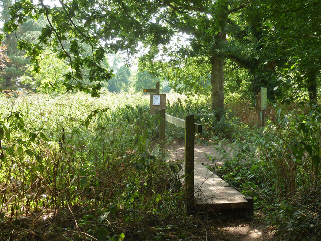
Havant Thicket offers several walking trails and paths that wind through the forest, providing a tranquil and serene environment for walkers, joggers, and dog walkers. These trails cater to all levels of fitness and can be enjoyed by people of all ages. Along the paths, visitors can discover beautiful wildflowers, listen to the soothing sounds of bird songs, and simply immerse themselves in the natural beauty of the forest.

Furthermore, the woodland provides an excellent opportunity for nature photography and wildlife observation. Photographers can capture stunning images of the changing seasons, vibrant foliage, and the diverse range of animals that inhabit the area.

Overall, Havant Thicket is a captivating woodland that offers a peaceful retreat from the hustle and bustle of everyday life. With its diverse ecosystem and scenic trails, it is a must-visit destination for nature lovers and those seeking a tranquil escape in Hampshire.

If you have any feedback on the listing, please let us know in the comments section below.

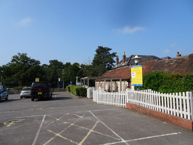
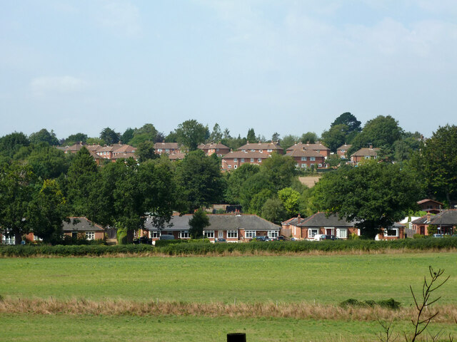
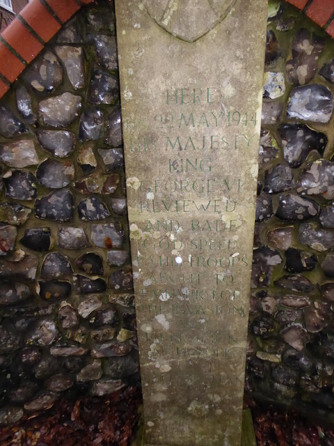
Havant Thicket Images

Images are sourced within 2km of 50.890457/-0.98241851 or Grid Reference SU7110. Thanks to Geograph Open Source API. All images are credited.

Open space beside Grassmere Way
Havant Rowlands Castle The view of the Travelodge in Whichers Gate Road, Rowlands Castle.
Havant Rowlands Castle
The view of the Travelodge in Whichers Gate Road, Rowlands Castle.
Harvester Pub The view of the Rowlands Castle Pub.
Harvester Pub
The view of the Rowlands Castle Pub.
Houses, Rowlands Castle The lowest are on Finchdean Road.
Houses, Rowlands Castle
The lowest are on Finchdean Road.
Footbridge and path junction, Rowlands Castle By the foot entrance to Stansted Forest.
Footbridge and path junction, Rowlands Castle
By the foot entrance to Stansted Forest.
Railway towards Rowlands Castle The Portsmouth Direct Line, whose passenger service is from Waterloo, currently provided by South West Trains.
Railway towards Rowlands Castle
The Portsmouth Direct Line, whose passenger service is from Waterloo, currently provided by South West Trains.
Houses on Wellsworth Lane, Rowlands Castle A rear view.
Houses on Wellsworth Lane, Rowlands Castle
A rear view.
House, Great Wellsworth A grade II listed building.
House, Great Wellsworth
A grade II listed building.
Church Scene The Church by the Green in Rowlands Castle, is a United Reformed Church.
Church Scene
The Church by the Green in Rowlands Castle, is a United Reformed Church.
Houses in Anvil Close A typical street scene in this neighbourhood of Cowplain.
Houses in Anvil Close
A typical street scene in this neighbourhood of Cowplain.
2016: a year on Geograph (Day 53) The King's Stone, Rowlands. Castle<span class="nowrap"><a title="http://www3.hants.gov.uk/longdistance/staunton-way/rowlands-castle-to-staunton.htm" rel="nofollow ugc noopener" href="http://www3.hants.gov.uk/longdistance/staunton-way/rowlands-castle-to-staunton.htm">Link</a><img style="margin-left:2px;" alt="External link" title="External link - shift click to open in new window" src="https://s1.geograph.org.uk/img/external.png" width="10" height="10"/></span>
2016: a year on Geograph (Day 53)
The King's Stone, Rowlands. CastleLinkExternal link
King's Stone Repair Commemoration Plaque Also see <a title="https://www.geograph.org.uk/photo/4836030" href="https://www.geograph.org.uk/photo/4836030">Link</a>
King's Stone Repair Commemoration Plaque
Also see Link
Inscription on The King's Stone Also see <a title="https://www.geograph.org.uk/photo/4836030" href="https://www.geograph.org.uk/photo/4836030">Link</a>
Inscription on The King's Stone
Also see Link
2016: a year on Geography (Day 101) Hazleton Country Supplies, Horndean
2016: a year on Geography (Day 101)
Hazleton Country Supplies, Horndean
The Upper Lake at Staunton Country Park Not much left of the lake now, but a very peaceful place away from the main gardens.
The Upper Lake at Staunton Country Park
Not much left of the lake now, but a very peaceful place away from the main gardens.
The Upper Lake at Staunton Country Park
Rowlands Castle station The last link in the Portsmouth Direct Line between Godalming and Havant was opened on 1st January 1859. Rowlands Castle station opened on the same day. For a detailed account of the struggle to build the line see <span class="nowrap"><a title="https://en.wikipedia.org/wiki/Portsmouth_Direct_Line" rel="nofollow ugc noopener" href="https://en.wikipedia.org/wiki/Portsmouth_Direct_Line">Link</a><img style="margin-left:2px;" alt="External link" title="External link - shift click to open in new window" src="https://s1.geograph.org.uk/img/external.png" width="10" height="10"/></span>

For more about the history of Rowlands Castle station see <span class="nowrap"><a title="https://en.wikipedia.org/wiki/Rowlands_Castle_railway_station" rel="nofollow ugc noopener" href="https://en.wikipedia.org/wiki/Rowlands_Castle_railway_station">Link</a><img style="margin-left:2px;" alt="External link" title="External link - shift click to open in new window" src="https://s1.geograph.org.uk/img/external.png" width="10" height="10"/></span>

This view is from the down platform. The next station in this direction is Havant.
Rowlands Castle station
The last link in the Portsmouth Direct Line between Godalming and Havant was opened on 1st January 1859. Rowlands Castle station opened on the same day. For a detailed account of the struggle to build the line see LinkExternal link For more about the history of Rowlands Castle station see LinkExternal link This view is from the down platform. The next station in this direction is Havant.
Rowlands Castle station The last link in the Portsmouth Direct Line between Godalming and Havant was opened on 1st January 1859. Rowlands Castle station opened on the same day. For a detailed account of the struggle to build the line see <span class="nowrap"><a title="https://en.wikipedia.org/wiki/Portsmouth_Direct_Line" rel="nofollow ugc noopener" href="https://en.wikipedia.org/wiki/Portsmouth_Direct_Line">Link</a><img style="margin-left:2px;" alt="External link" title="External link - shift click to open in new window" src="https://s1.geograph.org.uk/img/external.png" width="10" height="10"/></span>

For more about the history of the station see <span class="nowrap"><a title="https://en.wikipedia.org/wiki/Rowlands_Castle_railway_station" rel="nofollow ugc noopener" href="https://en.wikipedia.org/wiki/Rowlands_Castle_railway_station">Link</a><img style="margin-left:2px;" alt="External link" title="External link - shift click to open in new window" src="https://s1.geograph.org.uk/img/external.png" width="10" height="10"/></span>

This view is from the footbridge between the up platform on the left and the down platform on the right. The entrance is to the up platform. The next station in this direction is Petersfield.
Rowlands Castle station
The last link in the Portsmouth Direct Line between Godalming and Havant was opened on 1st January 1859. Rowlands Castle station opened on the same day. For a detailed account of the struggle to build the line see LinkExternal link For more about the history of the station see LinkExternal link This view is from the footbridge between the up platform on the left and the down platform on the right. The entrance is to the up platform. The next station in this direction is Petersfield.
Show me another place!

Havant Thicket is located at Grid Ref: SU7110 (Lat: 50.890457, Lng: -0.98241851)

Administrative County: Hampshire

District: East Hampshire

Police Authority: Hampshire

What 3 Words

///voters.teamed.balconies. Near Cowplain, Hampshire

Related Wikis

Staunton Country Park

Staunton Country Park is a listed Regency landscaped parkland and forest encompassing approximately 1,000 acres (4.0 km2) in Hampshire, England.An ornamental...

Rowland's Castle

Rowland's Castle is a village and civil parish in the East Hampshire district of Hampshire, England. It is 2.9 miles (4.7 km) north of Havant, on the Hampshire/West...

Havant Academy

Havant Academy is a mixed secondary school located in the Leigh Park area of Havant in the English county of Hampshire. The school is situated at the edge...

Rowlands Castle railway station

Rowlands Castle railway station serves the village of Rowland's Castle, Hampshire, England. It is located on the Portsmouth Direct Line, 63 miles 18 chains...

Hazleton Common, Horndean

Hazleton Common, Horndean is a 17.5-hectare (43-acre) Local Nature Reserve in Horndean in Hampshire. It is owned and managed by Horndean Parish Council...

Leigh Park

Leigh Park is a large suburb (population 27,500) of Havant, in Hampshire, England. It currently forms the bulk or whole of four electoral wards: Battins...

Cowplain

Cowplain is a village north of Waterlooville, Hampshire, England. With a population of 9,353 at the 2011 census, it makes up above 7% of Havant borough...

Park Community School

Park Community School is a coeducational community secondary school, located in the Leigh Park area of Havant in the English county of Hampshire.It is...

Nearby Amenities

Located within 500m of 50.890457,-0.98241851
Bench
Lat/Long: 50.8883077/-0.9885274
Bench
Lat/Long: 50.888784/-0.9797607
Bench
Lat/Long: 50.8910659/-0.984784
Barrier: kissing_gate
Lat/Long: 50.8877782/-0.9845076
The data included in this document is from www.openstreetmap.org. The data is made available under ODbL.

Have you been to Havant Thicket?

Leave your review of Havant Thicket below (or comments, questions and feedback).