Chambers Copse

Wood, Forest in Oxfordshire South Oxfordshire

England

Chambers Copse

Direction Sign – Signpost on the B481, Sonning Common Located on the southwest side of the crossroads of the B481 Peppard Road and Bird in Hand Lane, opposite The Bird in Hand public house in Sonning Common parish. 4 arms and annulus finial. See also <a title="https://www.geograph.org.uk/photo/4070130" href="https://www.geograph.org.uk/photo/4070130">Link</a> and <a title="https://www.geograph.org.uk/photo/4070122" href="https://www.geograph.org.uk/photo/4070122">Link</a>.

Milestone Society National ID: OX_SU7179
Direction Sign – Signpost on the B481, Sonning Common Credit: John V Nicholls

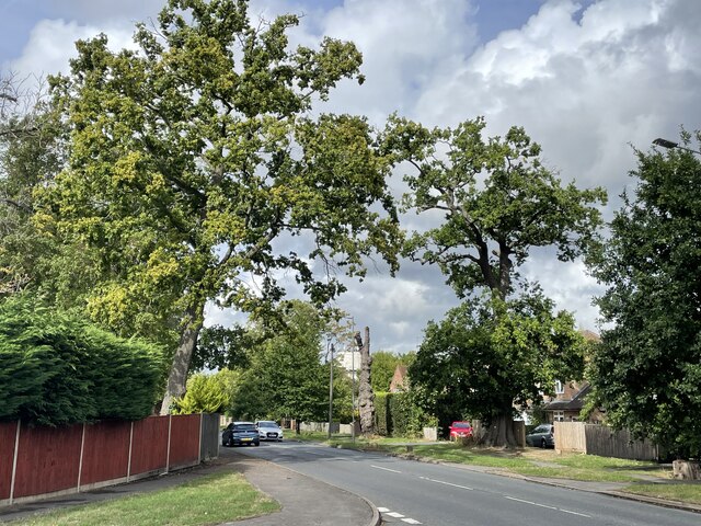
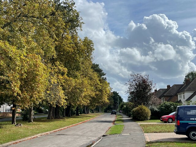
Chambers Copse is a picturesque woodland located in Oxfordshire, England. Covering an area of approximately 50 acres, it is a popular destination for nature enthusiasts and hikers alike. The copse is situated near the village of Chambers, hence its name, and is easily accessible by foot or by car.

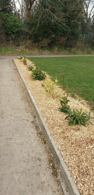
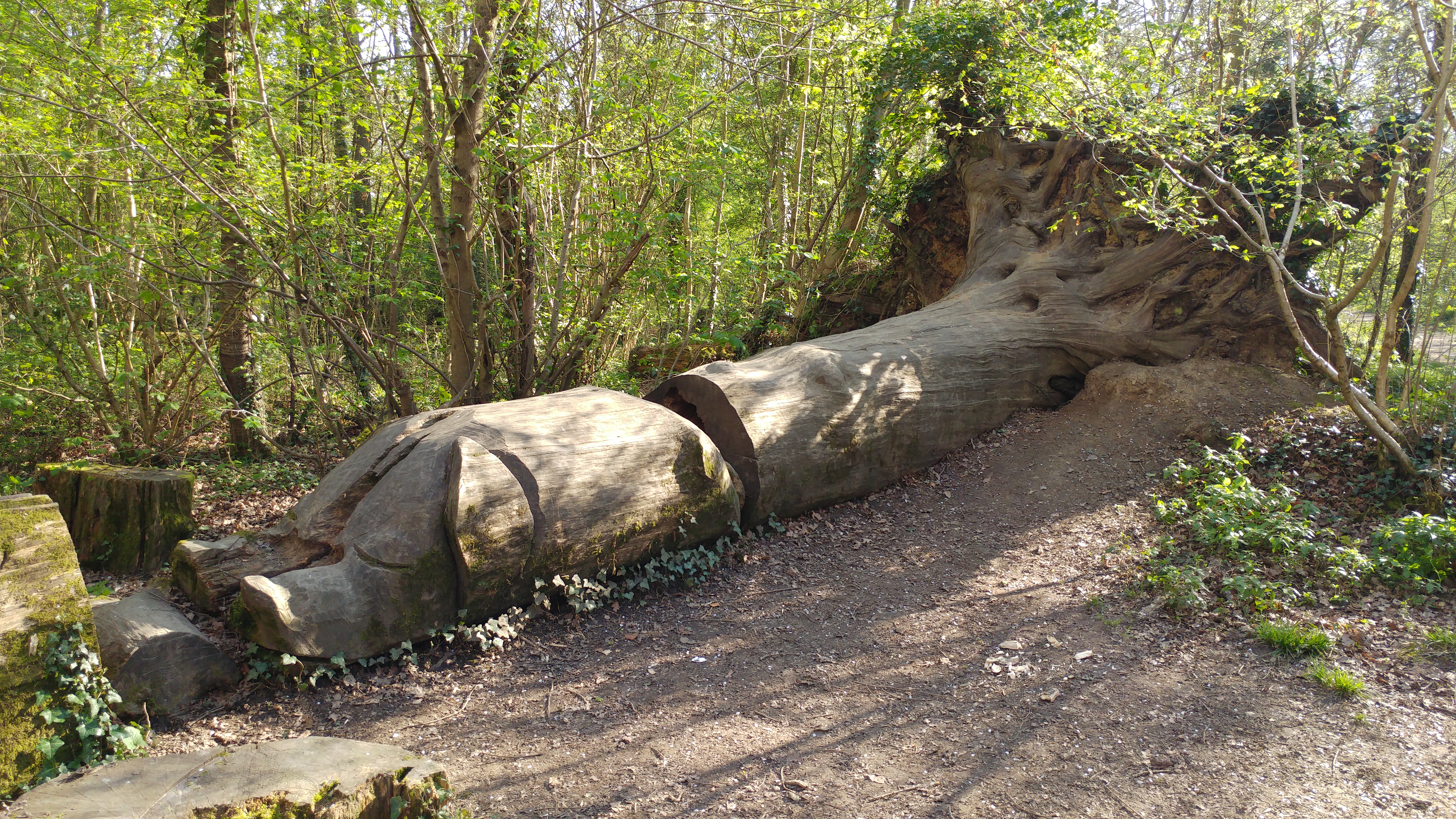
The woodland is predominantly composed of broadleaf trees, including oak, birch, and beech, which create a dense and diverse canopy. This provides a haven for a wide range of wildlife, including various bird species, deer, and small mammals. The forest floor is carpeted with a rich layer of leaf litter, providing a fertile environment for an array of plants and fungi.

A network of well-maintained footpaths wind their way through the copse, allowing visitors to explore its natural beauty at their own pace. These paths lead to small clearings and viewpoints, offering visitors the opportunity to take in panoramic views of the surrounding countryside.

Chambers Copse is not only renowned for its natural beauty but also for its historical significance. The copse is believed to have been in existence for several centuries, and remnants of ancient woodland can still be found within its borders. These remnants provide a glimpse into the past and offer a unique insight into the region's ecological and cultural history.

Overall, Chambers Copse is a tranquil and enchanting woodland, offering visitors a chance to escape the hustle and bustle of everyday life and immerse themselves in the beauty of nature. Whether it's a leisurely stroll or a more adventurous hike, this forest provides a truly memorable experience for all who visit.

If you have any feedback on the listing, please let us know in the comments section below.

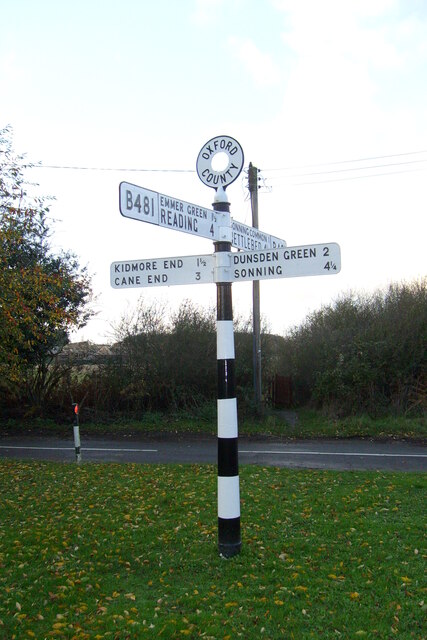
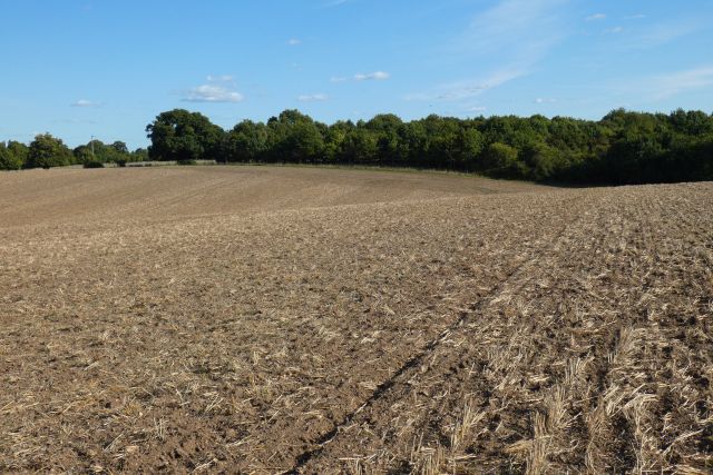
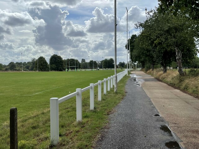
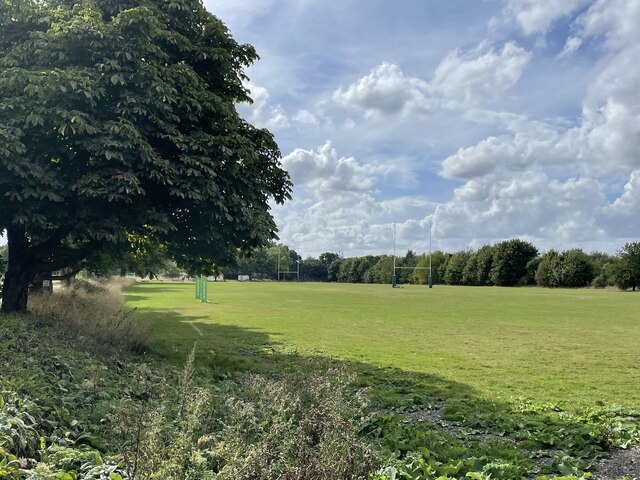
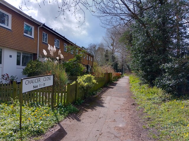
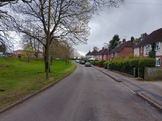
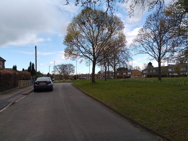
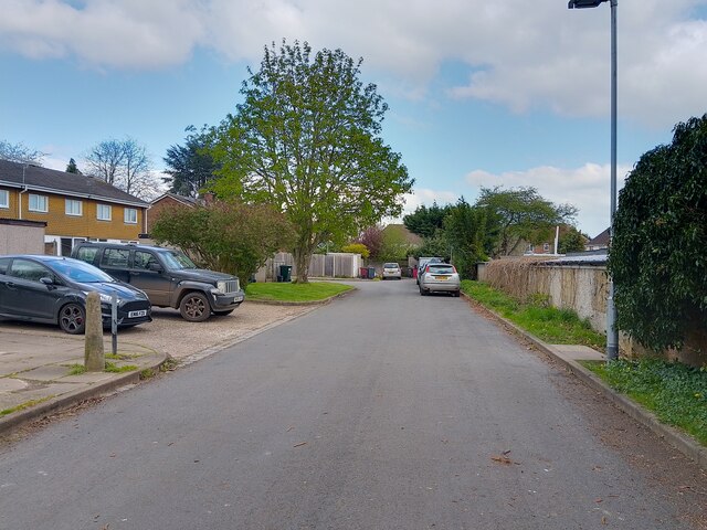
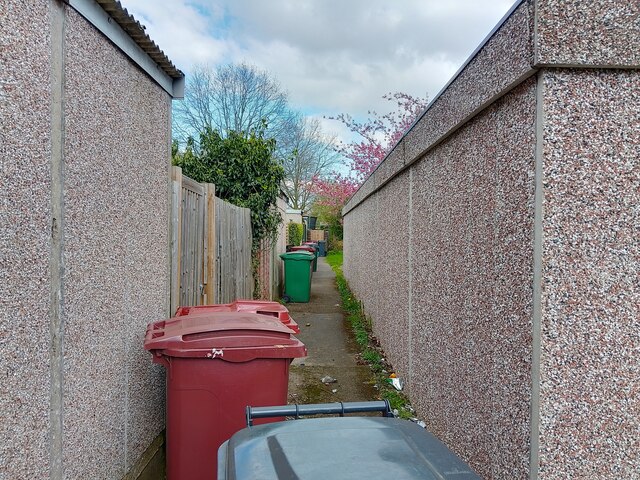
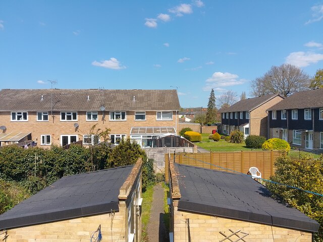
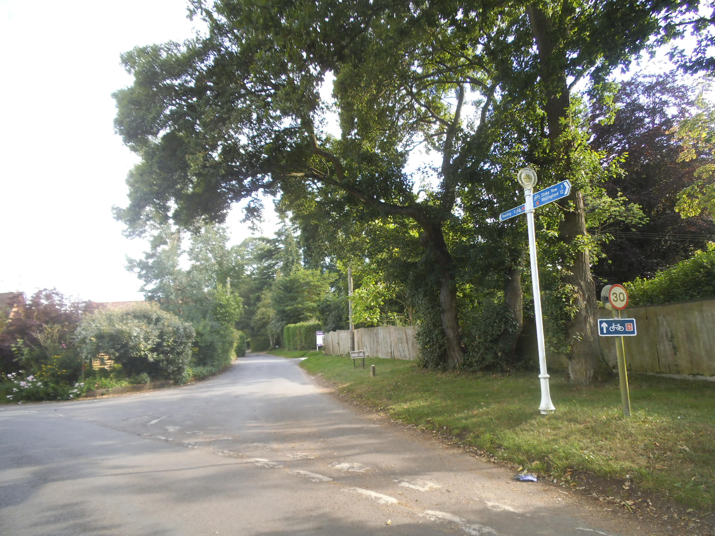
Chambers Copse Images

Images are sourced within 2km of 51.493003/-0.97037357 or Grid Reference SU7177. Thanks to Geograph Open Source API. All images are credited.

Direction Sign – Signpost on the B481, Sonning Common Located on the southwest side of the crossroads of the B481 Peppard Road and Bird in Hand Lane, opposite The Bird in Hand public house in Sonning Common parish. 4 arms and annulus finial. See also <a title="https://www.geograph.org.uk/photo/4070130" href="https://www.geograph.org.uk/photo/4070130">Link</a> and <a title="https://www.geograph.org.uk/photo/4070122" href="https://www.geograph.org.uk/photo/4070122">Link</a>.

Milestone Society National ID: OX_SU7179
Direction Sign – Signpost on the B481, Sonning Common
Located on the southwest side of the crossroads of the B481 Peppard Road and Bird in Hand Lane, opposite The Bird in Hand public house in Sonning Common parish. 4 arms and annulus finial. See also Link and Link. Milestone Society National ID: OX_SU7179
Farmland, Binfield Heath The footpath between Bishopsland and Crowsley follows the edge of this field of barley.
Farmland, Binfield Heath
The footpath between Bishopsland and Crowsley follows the edge of this field of barley.
Caversham Park, Reading Houses on Fraser Avenue are viewed from Abingdon Drive near the northern edge of the housing estate.
Caversham Park, Reading
Houses on Fraser Avenue are viewed from Abingdon Drive near the northern edge of the housing estate.
Farmland, Dunsden
Farmland, Dunsden
Farmland, Kidmore End
Farmland, Dunsden
Farmland, Dunsden
Driveway to Reading Abbey Rugby Club
Rugby pitches, Reading Abbey Rugby Club
Oak trees on Peppard Road, Emmer Green Looking north from the entrance to Rosehill Park.
Oak trees on Peppard Road, Emmer Green
Looking north from the entrance to Rosehill Park.
Trees lining Peppard Road, Emmer Green Looking south along the access road from Rosehill Park.
Trees lining Peppard Road, Emmer Green
Looking south along the access road from Rosehill Park.
New hedge on Scott Close A newly planted hedge in a woodchip bed with new bullnose edging along the edge of the path on Scott Close.
New hedge on Scott Close
A newly planted hedge in a woodchip bed with new bullnose edging along the edge of the path on Scott Close.
Misspelt void cover A temporary void cover over a drain in need of repair on Scott Close in Emmer Green. It reads "READING BOROUGH COUNCIL HIGWAYS DEPT 1".
Misspelt void cover
A temporary void cover over a drain in need of repair on Scott Close in Emmer Green. It reads "READING BOROUGH COUNCIL HIGWAYS DEPT 1".
Chaucer Close A pedestrianised part of Chaucer Close, a 60s housing estate in Emmer Green.
Chaucer Close
A pedestrianised part of Chaucer Close, a 60s housing estate in Emmer Green.
Buckingham Drive A cul-de-sac section of Buckingham Drive, the main road through Emmer Green in Caversham.
Buckingham Drive
A cul-de-sac section of Buckingham Drive, the main road through Emmer Green in Caversham.
Emmer Green Looking along the cul-de-sac section of Buckingham Drive at the large verge beside the road and houses beyond in Emmer Green.
Emmer Green
Looking along the cul-de-sac section of Buckingham Drive at the large verge beside the road and houses beyond in Emmer Green.
Bellingham Walk Bellingham Walk in Emmer Green in Caversham. This is the 'road' of Bellingham Walk for parking, with the 'walk' being where the front doors of the houses are.
Bellingham Walk
Bellingham Walk in Emmer Green in Caversham. This is the 'road' of Bellingham Walk for parking, with the 'walk' being where the front doors of the houses are.
Bellingham Walk alleyway The alleyway between the back gardens (left, with prefab concrete sheds) and road of Bellingham Walk (right, with prefab concrete garages).
Bellingham Walk alleyway
The alleyway between the back gardens (left, with prefab concrete sheds) and road of Bellingham Walk (right, with prefab concrete garages).
Langford Close, Emmer Green Looking from a block of flats on Buckingham Drive at houses on Langford Close in Emmer Green. Most of the suburb was built at the same time, so the house styles are pretty consistent.
Langford Close, Emmer Green
Looking from a block of flats on Buckingham Drive at houses on Langford Close in Emmer Green. Most of the suburb was built at the same time, so the house styles are pretty consistent.
Show me another place!

Chambers Copse is located at Grid Ref: SU7177 (Lat: 51.493003, Lng: -0.97037357)

Administrative County: Oxfordshire

District: South Oxfordshire

Police Authority: Thames Valley

What 3 Words

///plots.lives.coherent. Near Sonning Common, Oxfordshire

Related Wikis

Reading Abbey R.F.C.

Reading Abbey R.F.C is an English rugby union club. Although the club is named after, and historically connected with, the Berkshire town of Reading, it...

Chalkhouse Green

Chalkhouse Green is a village in Oxfordshire, England. The village is approximately 3 miles (4.8 km) north of Reading, at an average elevation of 83 metres...

Emmer Green (Hanover) Chalk Mine

The Emmer Green (Hanover) Chalk Mine is an extensive abandoned subterranean chalk mine at Emmer Green, north of Reading in Berkshire, located just north...

Clayfield Copse

Clayfield Copse is a local nature reserve on the northern edge of the suburb of Caversham in Reading, UK. The site is 8.65 hectares (21.4 acres) in size...

Emmer Green

Emmer Green is the northernmost suburb of Reading in the English county of Berkshire within the unitary authority, centred 2 miles (3.2 km) north of the...

Highdown School

Highdown School and Sixth Form Centre is an academy in Emmer Green on the outskirts of Reading, Berkshire, England. It has a capacity for approximately...

Kidmore House

Kidmore House is a Grade II* listed stately home in the village of Kidmore End, in Oxfordshire, England.It was built in 1680 and is described by Historic...

BBC Radio Berkshire

BBC Radio Berkshire is the BBC's local radio station serving the county of Berkshire. It broadcasts on FM, DAB, digital TV and via BBC Sounds studios at...

Nearby Amenities

Located within 500m of 51.493003,-0.97037357
Turning Circle
Turning Circle: hammer
Lat/Long: 51.4918263/-0.9643779
Post Box
Collection Times: Mo-Fr 09:00, Sa 07:00
Ref: RG4 514D
Royal Cypher: EIIR
Royal Cypher Wikidata: Q33102113
Lat/Long: 51.4904365/-0.9666495
Direction: 150
Generator Method: photovoltaic
Generator Output Electricity: yes
Generator Solar Modules: 6
Generator Source: solar
Generator Type: solar_photovoltaic_panel
Location: roof
Power: generator
Lat/Long: 51.4919594/-0.9645638
Direction: 150
Generator Method: photovoltaic
Generator Output Electricity: yes
Generator Solar Modules: 12
Generator Source: solar
Generator Type: solar_photovoltaic_panel
Location: roof
Power: generator
Lat/Long: 51.4916785/-0.9641563
Direction: 150
Generator Method: photovoltaic
Generator Output Electricity: yes
Generator Solar Modules: 16
Generator Source: solar
Generator Type: solar_photovoltaic_panel
Location: roof
Power: generator
Lat/Long: 51.4915862/-0.9635275
Direction: 200
Generator Method: photovoltaic
Generator Output Electricity: yes
Generator Solar Modules: 20
Generator Source: solar
Generator Type: solar_photovoltaic_panel
Location: roof
Power: generator
Lat/Long: 51.4907705/-0.9655626
Direction: 250
Generator Method: photovoltaic
Generator Output Electricity: yes
Generator Solar Modules: 16
Generator Source: solar
Generator Type: solar_photovoltaic_panel
Location: roof
Power: generator
Lat/Long: 51.4902199/-0.9680249
Direction: 250
Generator Method: photovoltaic
Generator Output Electricity: yes
Generator Solar Modules: 10
Generator Source: solar
Generator Type: solar_photovoltaic_panel
Location: roof
Power: generator
Lat/Long: 51.4893847/-0.9661975
Natural: sinkhole
Lat/Long: 51.4908721/-0.9711187
Golf: pin
Lat/Long: 51.491818/-0.9743815
Golf: pin
Lat/Long: 51.4910167/-0.9730681
Golf: pin
Lat/Long: 51.4902261/-0.9715008
Golf: pin
Lat/Long: 51.4897169/-0.9703124
The data included in this document is from www.openstreetmap.org. The data is made available under ODbL.

Have you been to Chambers Copse?

Leave your review of Chambers Copse below (or comments, questions and feedback).