Bird Wood

Wood, Forest in Oxfordshire South Oxfordshire

England

Bird Wood

Direction Sign – Signpost on the B481, Sonning Common Located on the southwest side of the crossroads of the B481 Peppard Road and Bird in Hand Lane, opposite The Bird in Hand public house in Sonning Common parish. 4 arms and annulus finial. See also <a title="https://www.geograph.org.uk/photo/4070130" href="https://www.geograph.org.uk/photo/4070130">Link</a> and <a title="https://www.geograph.org.uk/photo/4070122" href="https://www.geograph.org.uk/photo/4070122">Link</a>.

Milestone Society National ID: OX_SU7179
Direction Sign – Signpost on the B481, Sonning Common Credit: John V Nicholls

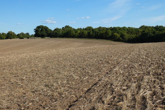
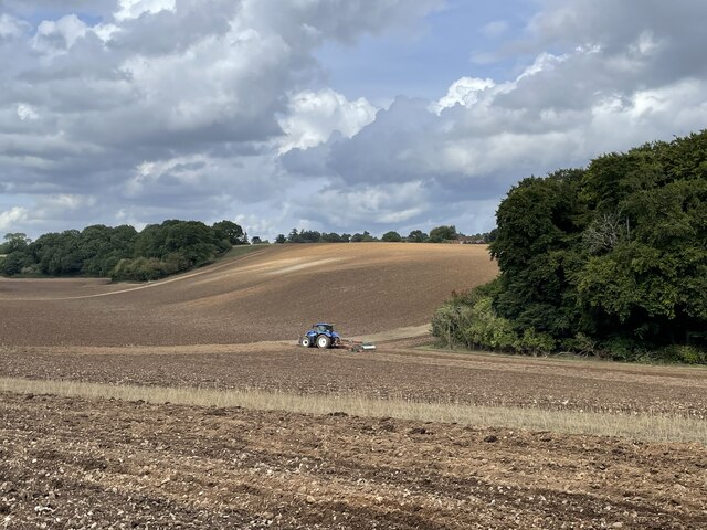
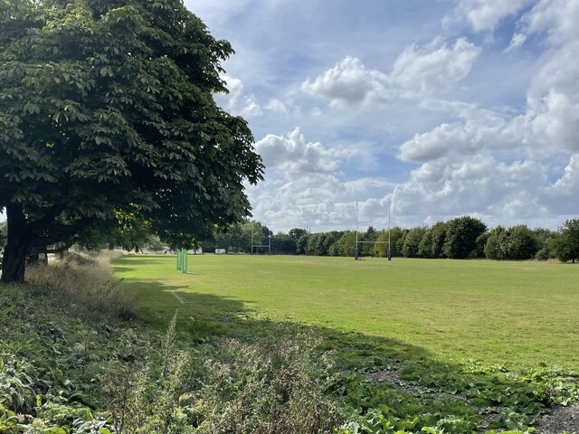
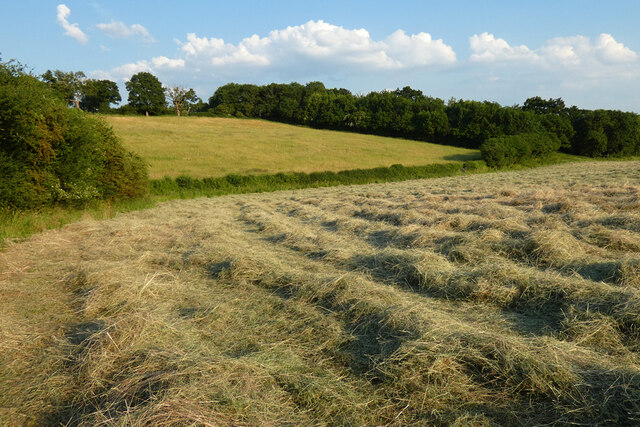
Bird Wood is a charming forest located in Oxfordshire, England. Nestled amidst the picturesque countryside, this woodland area covers a vast expanse of approximately 100 acres. It is a popular destination for nature enthusiasts and outdoor adventurers alike.

The wood is predominantly made up of diverse tree species, including oak, beech, and birch, which provide a tranquil and serene atmosphere. The dense foliage offers a rich habitat for a wide array of bird species, making Bird Wood a haven for birdwatchers. Some commonly sighted birds include blue tits, great tits, chaffinches, and robins.

The wood boasts well-maintained walking trails that wind through the forest, allowing visitors to explore its beauty at their own pace. These trails offer stunning views of the surrounding countryside and are ideal for leisurely walks or invigorating hikes. Along the way, there are designated spots for picnics, providing a perfect opportunity to rest and enjoy the peaceful surroundings.

Bird Wood is also home to a variety of wildlife, including deer, rabbits, and squirrels. This makes it an ideal location for nature photography and observing the natural behavior of these creatures in their natural habitat.

The forest is easily accessible, with ample parking available nearby. It is open to the public year-round, offering a different experience with each changing season. Whether one seeks solace in nature, wants to indulge in birdwatching, or simply desires to escape the hustle and bustle of everyday life, Bird Wood in Oxfordshire is a delightful destination that promises a memorable experience for all who visit.

If you have any feedback on the listing, please let us know in the comments section below.

Bird Wood Images

Images are sourced within 2km of 51.508369/-0.97027227 or Grid Reference SU7179. Thanks to Geograph Open Source API. All images are credited.

Direction Sign – Signpost on the B481, Sonning Common Located on the southwest side of the crossroads of the B481 Peppard Road and Bird in Hand Lane, opposite The Bird in Hand public house in Sonning Common parish. 4 arms and annulus finial. See also <a title="https://www.geograph.org.uk/photo/4070130" href="https://www.geograph.org.uk/photo/4070130">Link</a> and <a title="https://www.geograph.org.uk/photo/4070122" href="https://www.geograph.org.uk/photo/4070122">Link</a>.

Milestone Society National ID: OX_SU7179
Direction Sign – Signpost on the B481, Sonning Common
Located on the southwest side of the crossroads of the B481 Peppard Road and Bird in Hand Lane, opposite The Bird in Hand public house in Sonning Common parish. 4 arms and annulus finial. See also Link and Link. Milestone Society National ID: OX_SU7179
Farmland, Binfield Heath The footpath between Bishopsland and Crowsley follows the edge of this field of barley.
Farmland, Binfield Heath
The footpath between Bishopsland and Crowsley follows the edge of this field of barley.
Farmland, Kidmore End
Farmland, Sonning Common
Farmland, Dunsden
Farmland, Dunsden
Ploughing the headland, Sonning Common Looking north-east from Peppard Road towards the corner of Young Wood.
Ploughing the headland, Sonning Common
Looking north-east from Peppard Road towards the corner of Young Wood.
Ploughing the headland, Sonning Common Looking north-east from Peppard Road towards the corner of Young Wood.
Ploughing the headland, Sonning Common
Looking north-east from Peppard Road towards the corner of Young Wood.
Driveway to Reading Abbey Rugby Club
Rugby pitches, Reading Abbey Rugby Club
Farmland, Kidmore End With cut hay in the dry valley between Tokers Green and Chalkhouse Green.
Farmland, Kidmore End
With cut hay in the dry valley between Tokers Green and Chalkhouse Green.
Sonning Common The centre of this sprawling commuter village.  There is no obvious connection with the village of Sonning on the Thames, 8km to the south-east
Sonning Common
The centre of this sprawling commuter village. There is no obvious connection with the village of Sonning on the Thames, 8km to the south-east
Harvest over. Blounts farm to the east of Sonning Common.
Harvest over.
Blounts farm to the east of Sonning Common.
Field NE of Sonning Common Looking NW from a footpath by Crosscroft Wood which is behind the camera
Field NE of Sonning Common
Looking NW from a footpath by Crosscroft Wood which is behind the camera
Looking down to Old Place
Looking North East
Looking North East
Crowsley Park
Crowsley Park
Harpsden Bottom Old Place nestles in the shady valley beyond which is Kingshill Wood and Crowsley Park.
Harpsden Bottom
Old Place nestles in the shady valley beyond which is Kingshill Wood and Crowsley Park.
Crosscroft Wood A view across the upper part of Harpsden Bottom from Kent's Hill.
Crosscroft Wood
A view across the upper part of Harpsden Bottom from Kent's Hill.
Show me another place!

Bird Wood is located at Grid Ref: SU7179 (Lat: 51.508369, Lng: -0.97027227)

Administrative County: Oxfordshire

District: South Oxfordshire

Police Authority: Thames Valley

What 3 Words

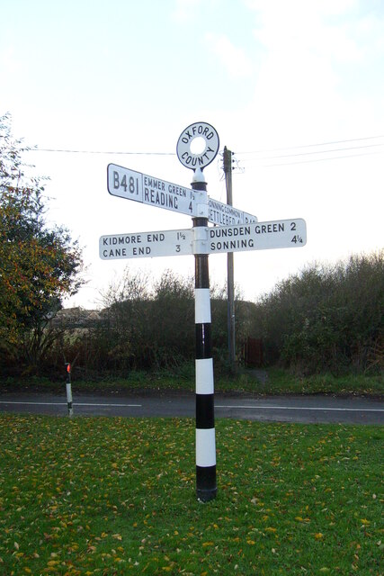
///stow.unsecured.keener. Near Sonning Common, Oxfordshire

Nearby Locations

Bird Wood Young Wood

Related Wikis

Sonning Common

Sonning Common is a village and civil parish in a relatively flat, former common land part of the Chiltern Hills in South Oxfordshire, centred 3.5 miles...

Kidmore House

Kidmore House is a Grade II* listed stately home in the village of Kidmore End, in Oxfordshire, England.It was built in 1680 and is described by Historic...

Crowsley Park

Crowsley Park is a 160-acre (65 ha) country estate in South Oxfordshire, central-southern England, owned by the British Broadcasting Corporation (BBC)...

Chalkhouse Green

Chalkhouse Green is a village in Oxfordshire, England. The village is approximately 3 miles (4.8 km) north of Reading, at an average elevation of 83 metres...

Maiden Erlegh Chiltern Edge

Maiden Erlegh Chiltern Edge (formerly Chiltern Edge Community School) is a coeducational secondary school located in Sonning Common, Oxfordshire, England...

Kidmore End

Kidmore End is a village and civil parish in South Oxfordshire, centred 6 miles (10 km) NNW of Reading, Berkshire, an important regional centre of commerce...

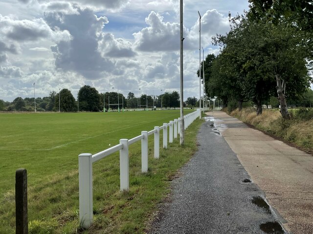
Reading Abbey R.F.C.

Reading Abbey R.F.C is an English rugby union club. Although the club is named after, and historically connected with, the Berkshire town of Reading, it...

1947 Thames flood

The 1947 Thames flood was the most severe flood of the River Thames in the 20th century, affecting much of the Thames Valley as well as elsewhere in England...

Nearby Amenities

Located within 500m of 51.508369,-0.97027227
Created By: osmeditor2
Lat/Long: 51.5076416/-0.9743346
Maxspeed: 30 mph
Traffic Sign: maxspeed
Lat/Long: 51.5077412/-0.9705721
Created By: osmeditor2
Lat/Long: 51.5048916/-0.9702721
Barrier: kissing_gate
Foot: yes
Lat/Long: 51.508919/-0.9634162
Barrier: kissing_gate
Foot: yes
Lat/Long: 51.5078717/-0.9664214
Bus Stop
Essex Way
Bus: yes
Naptan AtcoCode: 340001634CNR
Naptan Bearing: SE
Naptan CommonName: Essex Way
Naptan Indicator: Corner
Naptan Landmark: Essex Way
Naptan NaptanCode: oxfgdpmg
Naptan Street: Kennylands Road
Naptan Verified: no
Public Transport: platform
Source: naptan_import
Wheelchair: limited
Wheelchair Description: No step-free crossing to opposite stop.
Lat/Long: 51.508489/-0.9762067
Bus Stop
Essex Way
Bus: yes
Naptan AtcoCode: 340001634OPP
Naptan Bearing: NW
Naptan CommonName: Essex Way
Naptan Indicator: Opposite
Naptan Landmark: Essex Way
Naptan NaptanCode: oxfgdpmd
Naptan Street: Kennylands Road
Naptan Verified: no
Public Transport: platform
Source: naptan_import
Wheelchair: no
Wheelchair Description: No footway on this side.
Lat/Long: 51.5085945/-0.9766576
Bus Stop
Bird Wood Court
Naptan AtcoCode: 340001653OUT
Naptan Bearing: N
Naptan CommonName: Bird Wood Court
Naptan Indicator: Outside
Naptan Landmark: Bird Wood Court
Naptan NaptanCode: oxfgdtad
Naptan Street: Peppard Road
Naptan Verified: no
Shelter: no
Source: naptan_import
Lat/Long: 51.5098042/-0.9725261
Bus Stop
Bird Wood Court
Naptan AtcoCode: 340001654OPP
Naptan Bearing: S
Naptan BusStopType: CUS
Naptan CommonName: Bird Wood Court
Naptan Indicator: Opposite
Naptan Landmark: Bird Wood Court
Naptan NaptanCode: oxfgdjam
Naptan Street: Peppard Road
Naptan Verified: no
Shelter: no
Source: naptan_import
Lat/Long: 51.5095304/-0.9720192
Bus Stop
Bird in Hand Turn
Bench: no
Bin: no
Lit: no
Naptan AtcoCode: 340003251OPP
Naptan Bearing: NW
Naptan CommonName: Bird in Hand Turn
Naptan Indicator: Opposite
Naptan Landmark: The Ramblers
Naptan NaptanCode: oxfatjwa
Naptan Street: Kennylands Road
Naptan Verified: no
Shelter: no
Source: naptan_import
Tactile Paving: no
Lat/Long: 51.5055334/-0.971033
Bus Stop
Bird in Hand Turn
Bench: no
Bin: no
Lit: no
Naptan AtcoCode: 340003251OUT
Naptan Bearing: SE
Naptan CommonName: Bird in Hand Turn
Naptan Indicator: Outside
Naptan Landmark: The Ramblers
Naptan NaptanCode: oxfawjpg
Naptan Street: Kennylands Road
Naptan Verified: no
Shelter: no
Source: naptan_import
Tactile Paving: no
Lat/Long: 51.5053325/-0.9706773
Traffic Sign: maxspeed
Lat/Long: 51.5068202/-0.9688299
Power: tower
Lat/Long: 51.5066327/-0.9649244
Point 8: Alpenrose
Lat/Long: 51.5087623/-0.9772851
Barrier: kissing_gate
Foot: yes
Lat/Long: 51.5072335/-0.9735481
Location Transition: yes
Power: tower
Lat/Long: 51.5110253/-0.9710535
Power: tower
Lat/Long: 51.510032/-0.9696843
Power: tower
Lat/Long: 51.5090605/-0.968378
Natural: sinkhole
Lat/Long: 51.5085582/-0.9631944
Natural: sinkhole
Lat/Long: 51.5046433/-0.9734313
Fixme: solar panels?
Lat/Long: 51.508403/-0.9740411
Turning Circle
Turning Circle: knuckle
Lat/Long: 51.508927/-0.9750585
Direction: 215
Generator Method: photovoltaic
Generator Output Electricity: yes
Generator Solar Modules: 10
Generator Source: solar
Generator Type: solar_photovoltaic_panel
Location: roof
Power: generator
Lat/Long: 51.5087073/-0.9761357
Crossing
Crossing: unmarked
Lat/Long: 51.5116265/-0.9741245
The data included in this document is from www.openstreetmap.org. The data is made available under ODbL.

Have you been to Bird Wood?

Leave your review of Bird Wood below (or comments, questions and feedback).