Greenfield Wood
Wood, Forest in Oxfordshire South Oxfordshire
England
Greenfield Wood

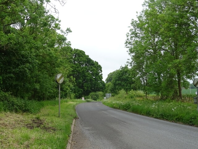
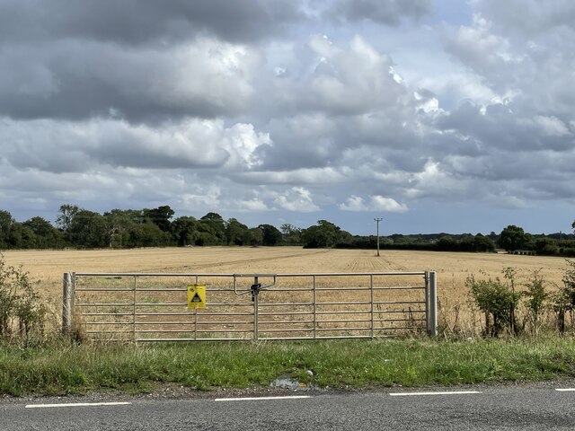
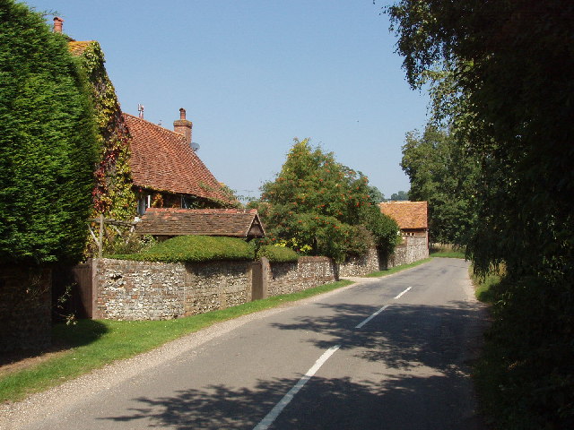
Greenfield Wood is a picturesque woodland located in Oxfordshire, England. Covering an area of approximately 100 hectares, it is situated near the village of Greenfield, hence its name. The wood is part of a larger forested area known as Greenfield Forest, which includes several other woodlands and nature reserves.
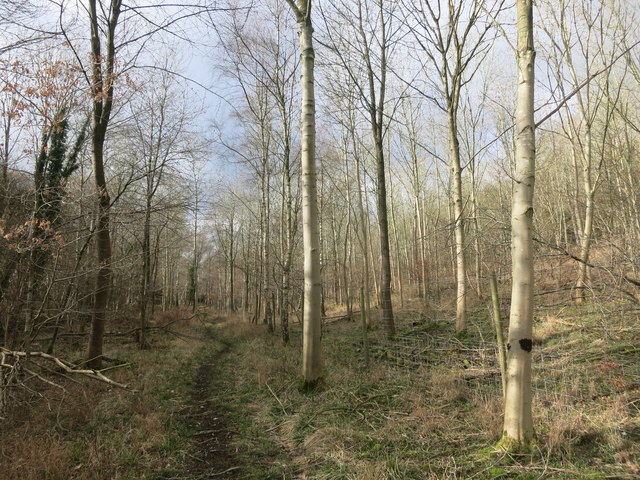
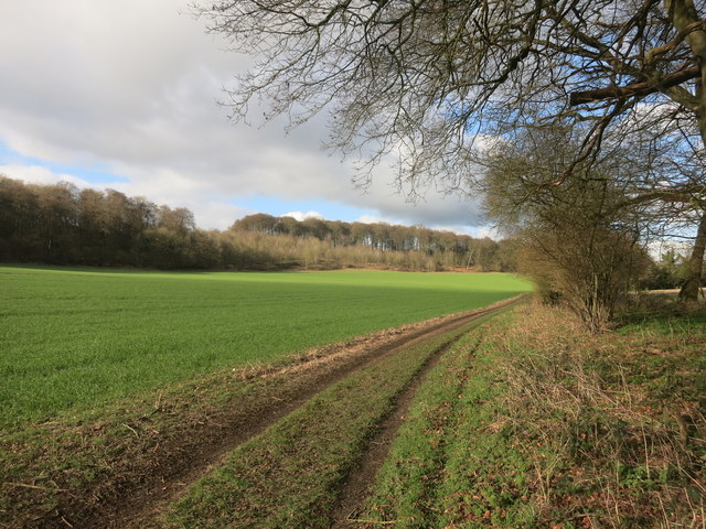
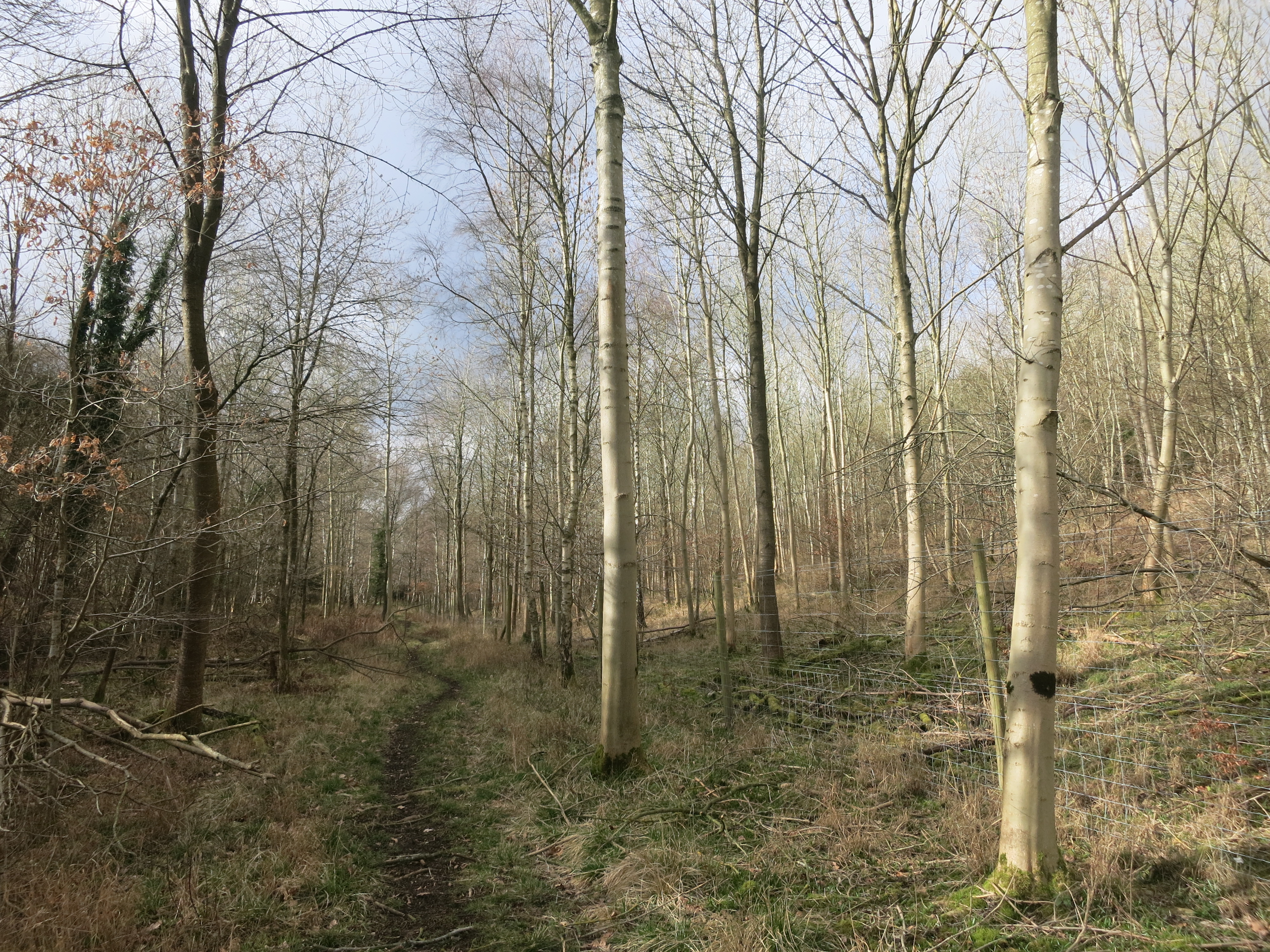
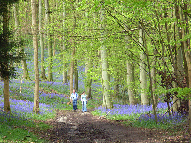
Greenfield Wood is known for its rich biodiversity and serves as an important habitat for a variety of wildlife species. The wood is dominated by a mix of broadleaf trees, including oak, beech, and birch, which create a dense and lush canopy overhead. The forest floor is covered with a diverse array of flora, including bluebells, wood anemones, and wild garlic, adding to the wood's natural charm.
The wood offers numerous walking trails and footpaths, allowing visitors to explore its tranquil surroundings. These paths lead to hidden glades, where visitors can find peace and solitude amidst nature. The wood is a popular destination for nature enthusiasts, birdwatchers, and photographers, who flock to capture the beauty of the woodland and its inhabitants.
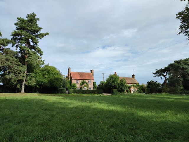
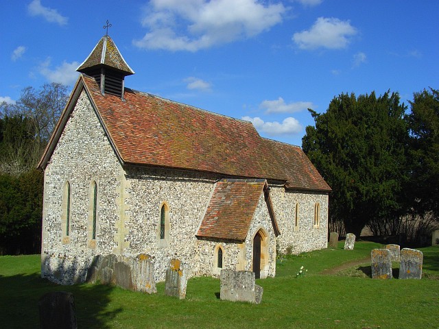
Greenfield Wood also has historical significance, with evidence of human activity dating back centuries. Remnants of ancient settlements and burial mounds have been discovered within the wood, providing a glimpse into the area's past.
Overall, Greenfield Wood is a captivating and diverse woodland that offers a sanctuary for both wildlife and humans alike. Its natural beauty and historical significance make it a must-visit destination for anyone seeking to immerse themselves in the splendor of Oxfordshire's countryside.
If you have any feedback on the listing, please let us know in the comments section below.
Greenfield Wood Images
Images are sourced within 2km of 51.610511/-0.96985518 or Grid Reference SU7190. Thanks to Geograph Open Source API. All images are credited.


Greenfield Wood is located at Grid Ref: SU7190 (Lat: 51.610511, Lng: -0.96985518)
Administrative County: Oxfordshire
District: South Oxfordshire
Police Authority: Thames Valley
What 3 Words
///keyboards.caller.tolerable. Near Watlington, Oxfordshire
Nearby Locations
Related Wikis
Pishill Woods
Pishill Woods is a 42.8-hectare (106-acre) biological Site of Special Scientific Interest north of Nettlebed in Oxfordshire.These semi-natural woods have...

Russell's Water
Russell's Water is a hamlet about 6 miles (9.7 km) north of Henley-on-Thames in South Oxfordshire. It is in the Chiltern Hills about 620 feet (190 m)...
Pishill
Pishill is a village and former civil parish, now in the parish of Pishill with Stonor, in the South Oxfordshire district, in the county of Oxfordshire...

Watlington Park
Watlington Park is an English country house with its surrounding grounds of approximately 500 acres (200 ha), located atop an escarpment in the Chiltern...
Pishill with Stonor
Pishill with Stonor is a civil parish in the high Chilterns, South Oxfordshire. It includes the villages of Pishill (Ordnance Survey grid reference SU727899...
Stonor
Stonor is a mostly cultivated and wooded village and former civil parish, now in the parish of Pishill with Stonor, in the South Oxfordshire, district...

Christmas Common
Christmas Common is a hamlet in Watlington civil parish, Oxfordshire about 7+1⁄2 miles (12 km) south of Thame in Oxfordshire, close to the boundary with...

Berrick Trench
Berrick Trench is a 2.1-hectare (5.2-acre) biological Site of Special Scientific Interest north of Nettlebed in Oxfordshire.This is an ancient semi-natural...
Have you been to Greenfield Wood?
Leave your review of Greenfield Wood below (or comments, questions and feedback).