Tiln Holt

Wood, Forest in Nottinghamshire Bassetlaw

England

Tiln Holt

Idle Valley Nature Reserve Where once there were busy gravel pits.
Idle Valley Nature Reserve Credit: Neil Theasby

Tiln Holt is a small village located in the county of Nottinghamshire, England. Situated within the district of Bassetlaw, it is surrounded by picturesque woodlands and forests, making it an ideal destination for nature enthusiasts and those seeking tranquility away from the bustling city life.

The village is characterized by its charming rural setting, with traditional cottages and farmhouses dotting the landscape. The lush greenery and rolling hills provide a scenic backdrop for residents and visitors alike. The nearby Sherwood Forest, famous for its association with the legendary Robin Hood, is a prominent attraction in the area.

Despite its small size, Tiln Holt offers a range of amenities and services to cater to the needs of its residents. There are local shops and businesses, as well as a primary school, ensuring that daily necessities and education are easily accessible. The village also benefits from good transport links, with regular bus services connecting it to nearby towns and cities.

In terms of recreational activities, Tiln Holt is a haven for outdoor enthusiasts. The surrounding woodlands and forests provide ample opportunities for hiking, cycling, and exploring the natural beauty of the area. Additionally, the nearby Clumber Park offers vast open spaces, picturesque lakes, and stunning gardens, making it an ideal spot for picnics and leisurely walks.

Overall, Tiln Holt is a charming village nestled in the heart of Nottinghamshire's woodlands, offering a peaceful and idyllic countryside lifestyle with access to modern amenities and an abundance of natural beauty.

If you have any feedback on the listing, please let us know in the comments section below.
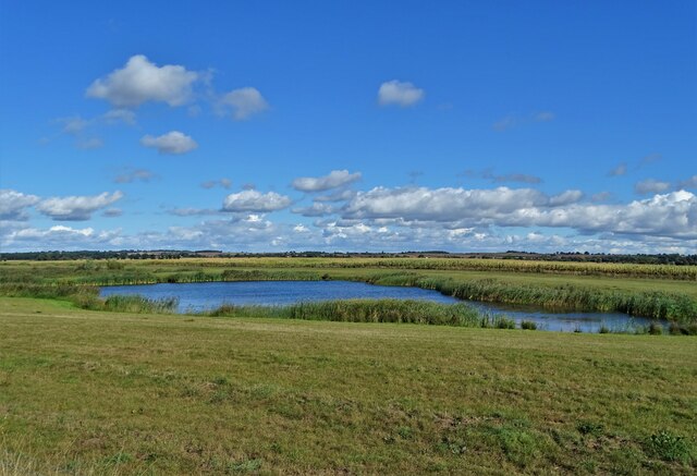
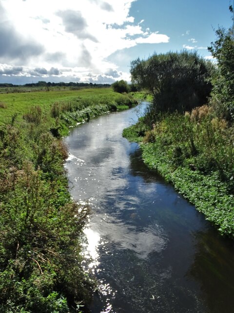
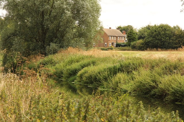
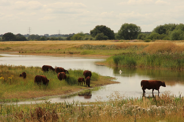
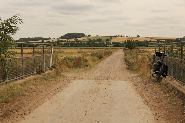
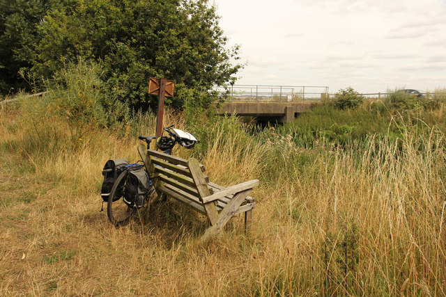
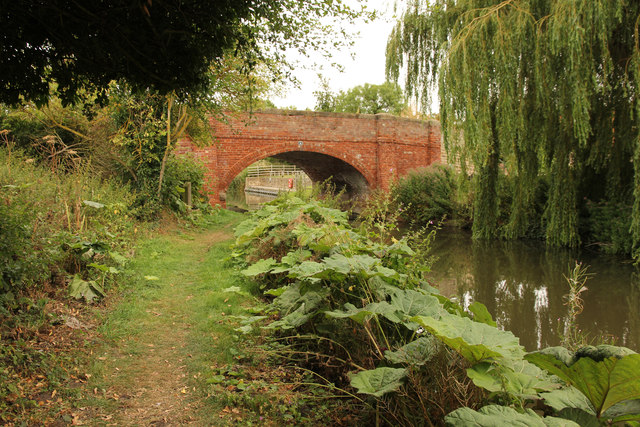
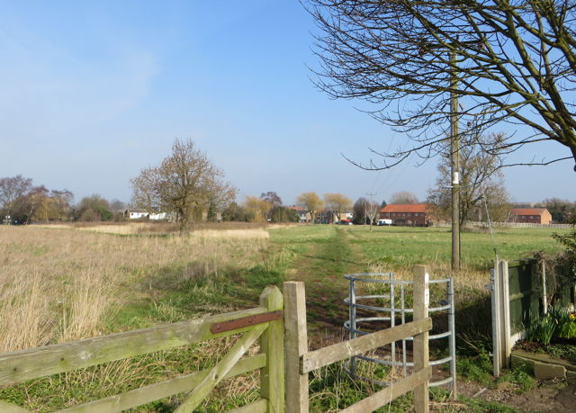
Tiln Holt Images

Images are sourced within 2km of 53.352995/-0.92856323 or Grid Reference SK7184. Thanks to Geograph Open Source API. All images are credited.

Idle Valley Nature Reserve Where once there were busy gravel pits.
Idle Valley Nature Reserve
Where once there were busy gravel pits.
View east from The River Idle Looking over former gravel pits.
View east from The River Idle
Looking over former gravel pits.
River Idle from Chainbridge Lane bridge
View from Retford Sewage Works Trig Point
Track from Chainbridge lane. Idle valley nature reserve.
Track from Chainbridge lane.
Idle valley nature reserve.
Bridleway to Sutton This bridleway leads past some old gravel workings on its way to Sutton Crossroads.  This view should changed rapidly since the plantation behind the fence will quickly mature.
Bridleway to Sutton
This bridleway leads past some old gravel workings on its way to Sutton Crossroads. This view should changed rapidly since the plantation behind the fence will quickly mature.
Tarmac Topcon precast concrete factory. Quite a surprise to find such a large factory in this small village, but then again maybe not when you consider the amount of sand and gravel around.
Tarmac Topcon precast concrete factory.
Quite a surprise to find such a large factory in this small village, but then again maybe not when you consider the amount of sand and gravel around.
Lound Low Road Byway Near the wildfowl reserve.
Lound Low Road Byway
Near the wildfowl reserve.
Alongside Broom Wood Broom Wood is a plantation of Corsican pine. The new planting to the north of the bridleway is of a more mixed nature.
Alongside Broom Wood
Broom Wood is a plantation of Corsican pine. The new planting to the north of the bridleway is of a more mixed nature.
At Low Farm near Sutton Grange An old showman's caravan has been preserved along with an old Nuffield 60 tractor.
At Low Farm near Sutton Grange
An old showman's caravan has been preserved along with an old Nuffield 60 tractor.
Tiln View over the River Idle to houses in the hamlet of Tiln from Idle Valley Country Park
Tiln
View over the River Idle to houses in the hamlet of Tiln from Idle Valley Country Park
Idle Valley Cattle grazing and wading in the Idle Valley near Chain Bridge Lane
Idle Valley
Cattle grazing and wading in the Idle Valley near Chain Bridge Lane
Chainbridge Lane View east towards Hayton on Chainbridge Lane at the bridge
Chainbridge Lane
View east towards Hayton on Chainbridge Lane at the bridge
Chainbridge Lane Idle Valley Nature Reserve from the bridge on Chainbridge Lane
Chainbridge Lane
Idle Valley Nature Reserve from the bridge on Chainbridge Lane
Chain Bridge Chain Bridge over the River Idle
Chain Bridge
Chain Bridge over the River Idle
Townend Bridge Bridge number 66 on the Chesterfield Canal, also known as Hayton Low Bridge
Townend Bridge
Bridge number 66 on the Chesterfield Canal, also known as Hayton Low Bridge
Broad Gores, Clarborough Bassetlaw District Council-owned 3.44 hectare site. Since the 1970s and the building of housing on Broad Gores, Southview Drive and St John's Drive, the council has owned this land between the northern and southern ends of Broad Gores. It has gone through various stages of full and partial agricultural use, and is currently regarded as wasteland. The parish council has consulted on possible future uses for it such as housing, allotments, and other leisure purposes.
Broad Gores, Clarborough
Bassetlaw District Council-owned 3.44 hectare site. Since the 1970s and the building of housing on Broad Gores, Southview Drive and St John's Drive, the council has owned this land between the northern and southern ends of Broad Gores. It has gone through various stages of full and partial agricultural use, and is currently regarded as wasteland. The parish council has consulted on possible future uses for it such as housing, allotments, and other leisure purposes.
Mute swan and cygnets On the Chesterfield Canal outside the Gate Inn at Clarborough.
Mute swan and cygnets
On the Chesterfield Canal outside the Gate Inn at Clarborough.
Show me another place!

Tiln Holt is located at Grid Ref: SK7184 (Lat: 53.352995, Lng: -0.92856323)

Administrative County: Nottinghamshire

District: Bassetlaw

Police Authority: Nottinghamshire

What 3 Words

///investors.maple.without. Near Clarborough, Nottinghamshire

Nearby Locations

Tiln Holt

Related Wikis

East Retford Rural District

East Retford was a rural district in Nottinghamshire, England from 1894 to 1974. It was formed under the Local Government Act 1894 from East Retford rural...

St Peter's Church, Hayton

St Peter's Church, Hayton is a Grade I listed parish church in the Church of England in Hayton, Nottinghamshire. == History == The church dates from the...

Tiln

Tiln is a hamlet in the civil parish of Hayton, in the Bassetlaw district, in the county of Nottinghamshire, England. It is located on the River Idle,...

Bolham, Nottinghamshire

Bolham is a hamlet in Nottinghamshire, England 1 mile north of Retford. Bolham Hall is an early 18th-century brick house of five bays. Bolham Mills on...

Clarborough

Clarborough is a village in the civil parish of Clarborough and Welham, in the district of Bassetlaw, Nottinghamshire, England. Clarborough is located...

St John the Baptist Church, Clarborough

St John the Baptist's Church is a Grade I listed Church of England parish church in Clarborough, Nottinghamshire, England. == History == The church dates...

Clarborough and Welham

Clarborough and Welham is a civil parish in the Bassetlaw district, in the county of Nottinghamshire, England. The parish includes the village of Clarborough...

The Elizabethan Academy

The Elizabethan Academy is a secondary school with academy status located in the Nottinghamshire market town of Retford, England. It is situated to the...

Nearby Amenities

Located within 500m of 53.352995,-0.92856323
Power: tower
Lat/Long: 53.3495591/-0.9279866
Power: tower
Lat/Long: 53.3500138/-0.9332829
The data included in this document is from www.openstreetmap.org. The data is made available under ODbL.

Have you been to Tiln Holt?

Leave your review of Tiln Holt below (or comments, questions and feedback).