Ann's Wood
Wood, Forest in Nottinghamshire Rushcliffe
England
Ann's Wood
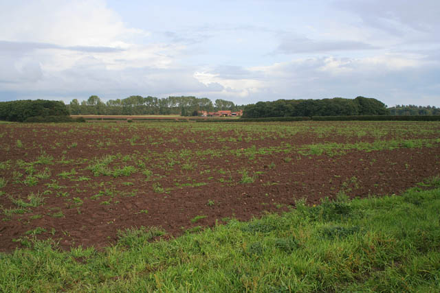
Ann's Wood is a picturesque woodland located in Nottinghamshire, England, known for its serene beauty and diverse flora and fauna. Covering an area of approximately 50 acres, this enchanting wood is a popular destination for nature enthusiasts and offers a tranquil retreat from the hustle and bustle of city life.
The wood is named after Ann, a local resident who dedicated her life to preserving and maintaining the natural beauty of the area. Ann's Wood is characterized by its dense woodland, consisting primarily of mature oak, beech, and birch trees. These towering trees create a majestic canopy, providing shade and shelter for the various wildlife species that call this wood home.
Walking through Ann's Wood, visitors can appreciate the tranquil atmosphere and enjoy the natural wonders that surround them. The forest floor is covered in a carpet of wildflowers, including bluebells and primroses, which bloom in abundance during the spring months. This creates a stunning spectacle of colors and scents, attracting countless photographers and nature enthusiasts.
The wood is also home to a rich variety of wildlife, including foxes, badgers, and numerous bird species. Birdwatchers can spot a range of feathered friends, such as woodpeckers, nuthatches, and tawny owls, among others.
Ann's Wood is a haven for outdoor activities such as walking, hiking, and picnicking. The wood features well-maintained trails that wind through the trees, offering visitors the chance to explore its hidden corners and discover its natural treasures. Whether it is a peaceful stroll or an adventurous hike, Ann's Wood promises a memorable experience for all who visit.
If you have any feedback on the listing, please let us know in the comments section below.
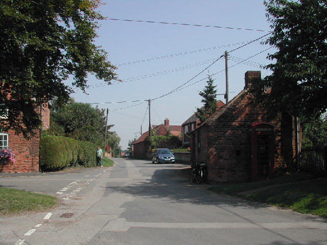
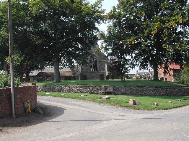
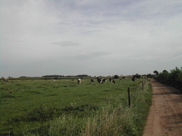
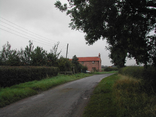
Ann's Wood Images
Images are sourced within 2km of 53.011747/-0.93713694 or Grid Reference SK7146. Thanks to Geograph Open Source API. All images are credited.


Ann's Wood is located at Grid Ref: SK7146 (Lat: 53.011747, Lng: -0.93713694)
Administrative County: Nottinghamshire
District: Rushcliffe
Police Authority: Nottinghamshire
What 3 Words
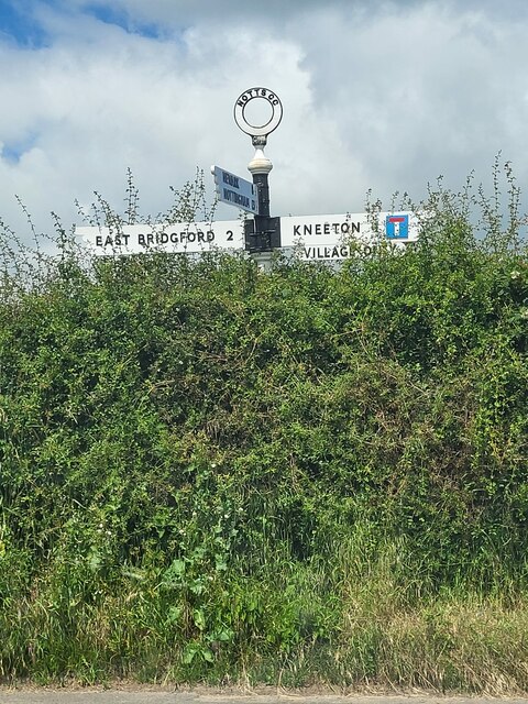
///difficult.offhand.rosier. Near East Bridgford, Nottinghamshire
Nearby Locations
Related Wikis

St Helen's Church, Kneeton
St Helen's Church, Kneeton is a Grade II listed parish church in the Church of England in Kneeton, Nottinghamshire, England. == History == The church was...

Kneeton
Kneeton is a village in the county of Nottinghamshire, England. The population as of the 2011 census remained less than 100. It is included in the civil...

St Michael's Church, Hoveringham
St Michael's Church, Hoveringham is a Grade II listed parish church in the Church of England in Hoveringham, Nottinghamshire, England. == History == The...
Hoveringham
Hoveringham is a small village and civil parish in Nottinghamshire about 10 miles (16 km) northeast of Nottingham and on the west side of the River Trent...

1958 Syerston Avro Vulcan crash
The 1958 Syerston Avro Vulcan crash was an aviation accident that occurred in England on 20 September 1958 during an air show at RAF Syerston, Nottinghamshire...
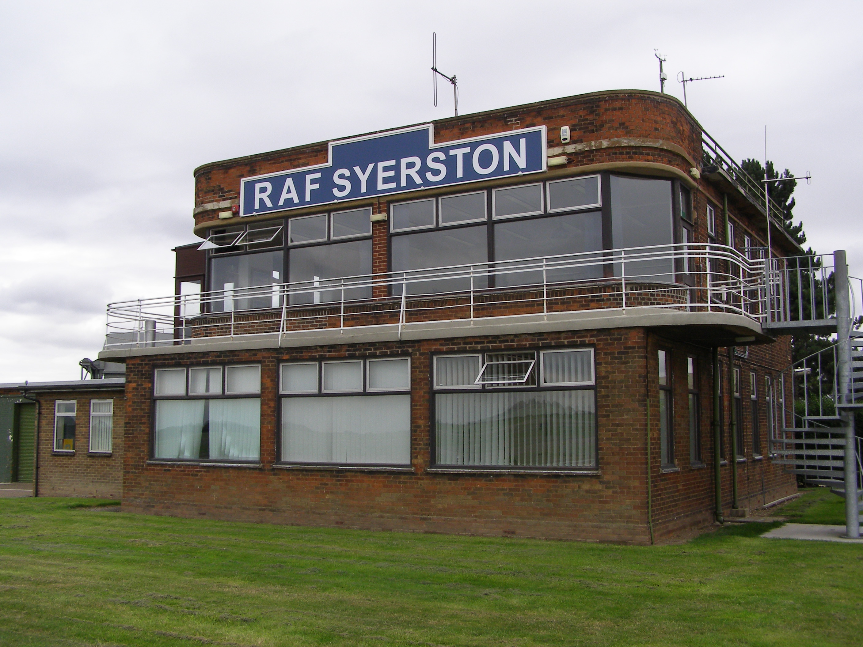
RAF Syerston
Royal Air Force Syerston, commonly known simply as RAF Syerston (ICAO: EGXY), is a Royal Air Force station in the parish of Flintham, near Newark, Nottinghamshire...
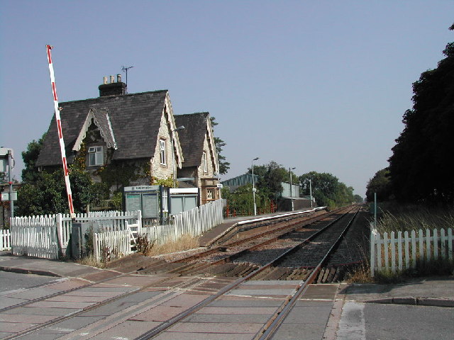
Thurgarton railway station
Thurgarton railway station is a Grade II listed station which serves the small village of Thurgarton in Nottinghamshire, England. == History == It is on...
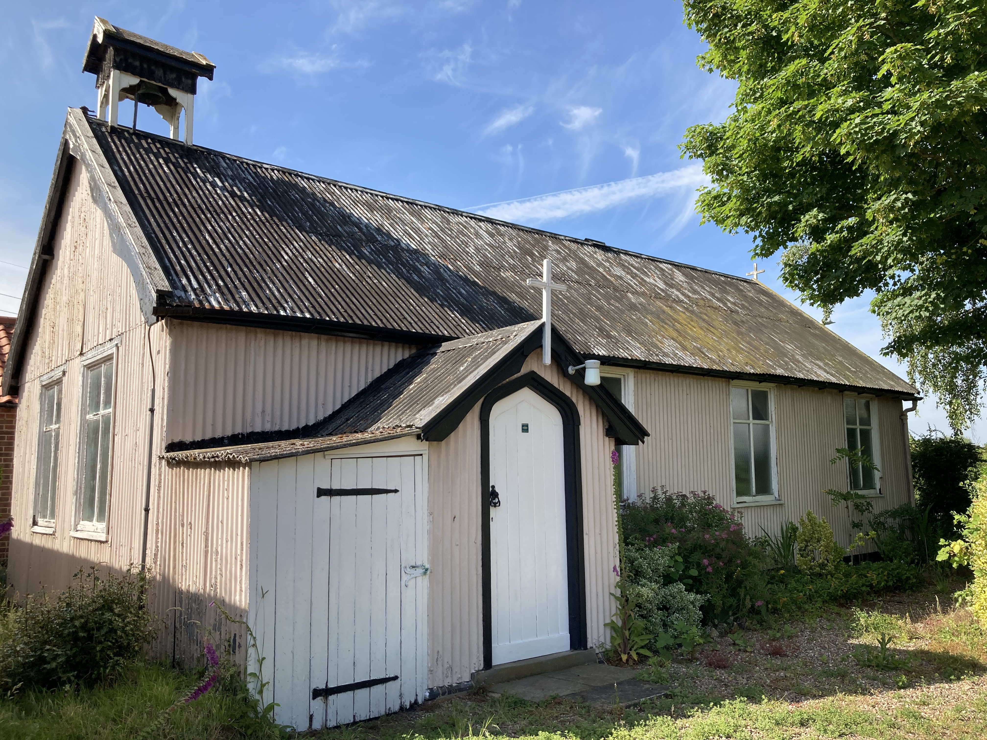
St Aidan's Church, Caythorpe
St Aidan's Church, Caythorpe is a Chapel of Ease in the Church of England in Caythorpe, Nottinghamshire. It is notable as being one of very few surviving...
Nearby Amenities
Located within 500m of 53.011747,-0.93713694Have you been to Ann's Wood?
Leave your review of Ann's Wood below (or comments, questions and feedback).