Hag Pits

Wood, Forest in Oxfordshire South Oxfordshire

England

Hag Pits

Direction Sign – Signpost on the B481, Sonning Common Located on the southwest side of the crossroads of the B481 Peppard Road and Bird in Hand Lane, opposite The Bird in Hand public house in Sonning Common parish. 4 arms and annulus finial. See also <a title="https://www.geograph.org.uk/photo/4070130" href="https://www.geograph.org.uk/photo/4070130">Link</a> and <a title="https://www.geograph.org.uk/photo/4070122" href="https://www.geograph.org.uk/photo/4070122">Link</a>.

Milestone Society National ID: OX_SU7179
Direction Sign – Signpost on the B481, Sonning Common Credit: John V Nicholls

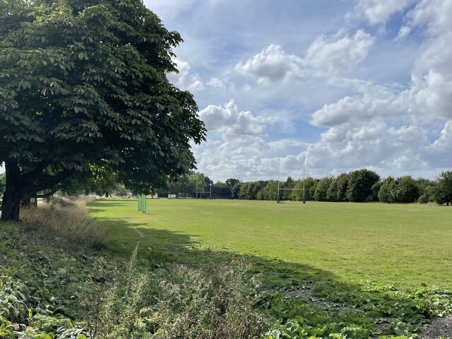
Hag Pits is a wood located in Oxfordshire, England, renowned for its stunning natural beauty and rich history. Nestled within the heart of the county, this enchanting forest covers an area of approximately 100 hectares.

The name "Hag Pits" is derived from the Old English word "hag," meaning a witch or sorceress, and "pits," referring to the numerous small hollows scattered throughout the wood. These hollows were formed during the medieval period due to the extraction of clay for pottery production. They now provide a unique and intriguing landscape for visitors to explore.

The wood boasts an abundant variety of flora and fauna. Ancient oak and beech trees dominate the landscape, their towering presence creating a sense of tranquility and awe. Bluebells carpet the forest floor during spring, creating a breathtaking display of vibrant colors. Additionally, the wood serves as a habitat for a diverse range of wildlife, including deer, foxes, badgers, and a plethora of bird species.

Hag Pits is not only a haven for nature lovers but also a place of historical significance. The wood has been inhabited by humans for thousands of years, with archaeological evidence suggesting Neolithic and Bronze Age settlements. Furthermore, remnants of an Iron Age hillfort can still be seen within the wood, adding to its allure.

Visitors to Hag Pits can enjoy a network of well-maintained footpaths, allowing them to explore the wood's beauty at their own pace. With its captivating scenery and deep-rooted history, Hag Pits offers a truly enchanting experience for all who venture into its depths.

If you have any feedback on the listing, please let us know in the comments section below.

Hag Pits Images

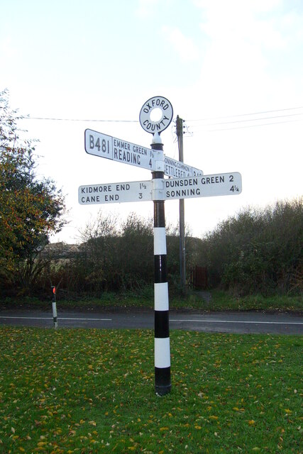
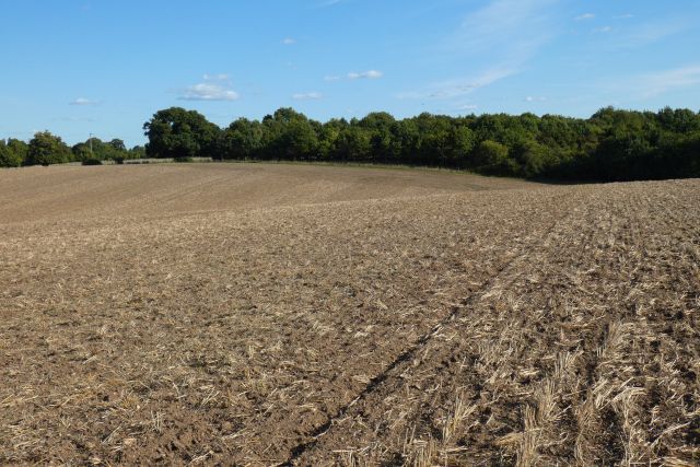
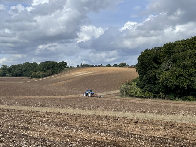
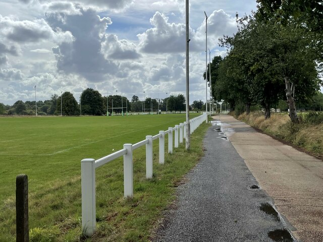
Images are sourced within 2km of 51.510645/-0.97856439 or Grid Reference SU7079. Thanks to Geograph Open Source API. All images are credited.

Direction Sign – Signpost on the B481, Sonning Common Located on the southwest side of the crossroads of the B481 Peppard Road and Bird in Hand Lane, opposite The Bird in Hand public house in Sonning Common parish. 4 arms and annulus finial. See also <a title="https://www.geograph.org.uk/photo/4070130" href="https://www.geograph.org.uk/photo/4070130">Link</a> and <a title="https://www.geograph.org.uk/photo/4070122" href="https://www.geograph.org.uk/photo/4070122">Link</a>.

Milestone Society National ID: OX_SU7179
Direction Sign – Signpost on the B481, Sonning Common
Located on the southwest side of the crossroads of the B481 Peppard Road and Bird in Hand Lane, opposite The Bird in Hand public house in Sonning Common parish. 4 arms and annulus finial. See also Link and Link. Milestone Society National ID: OX_SU7179
Farmland, Binfield Heath The footpath between Bishopsland and Crowsley follows the edge of this field of barley.
Farmland, Binfield Heath
The footpath between Bishopsland and Crowsley follows the edge of this field of barley.
Farmland, Kidmore End
Farmland, Sonning Common
Ploughing the headland, Sonning Common Looking north-east from Peppard Road towards the corner of Young Wood.
Ploughing the headland, Sonning Common
Looking north-east from Peppard Road towards the corner of Young Wood.
Ploughing the headland, Sonning Common Looking north-east from Peppard Road towards the corner of Young Wood.
Ploughing the headland, Sonning Common
Looking north-east from Peppard Road towards the corner of Young Wood.
Driveway to Reading Abbey Rugby Club
Rugby pitches, Reading Abbey Rugby Club
Sonning Common The centre of this sprawling commuter village.  There is no obvious connection with the village of Sonning on the Thames, 8km to the south-east
Sonning Common
The centre of this sprawling commuter village. There is no obvious connection with the village of Sonning on the Thames, 8km to the south-east
All Saints' Church, Rotherfield Peppard This pretty church sits on the edge of agricultural land that fills much of this square
All Saints' Church, Rotherfield Peppard
This pretty church sits on the edge of agricultural land that fills much of this square
Harvest over. Blounts farm to the east of Sonning Common.
Harvest over.
Blounts farm to the east of Sonning Common.
Field NE of Sonning Common Looking NW from a footpath by Crosscroft Wood which is behind the camera
Field NE of Sonning Common
Looking NW from a footpath by Crosscroft Wood which is behind the camera
Looking North East
Looking North East
Crowsley Park
Crowsley Park
Church Porch, Parish Church of All Saints Rotherfield Peppard
Crosscroft Wood A view across the upper part of Harpsden Bottom from Kent's Hill.
Crosscroft Wood
A view across the upper part of Harpsden Bottom from Kent's Hill.
Woods and farmland, Harpsden A cereal field and Crosscroft Wood (this side of the valley, which is the upper part of Harpsden Bottom).
Woods and farmland, Harpsden
A cereal field and Crosscroft Wood (this side of the valley, which is the upper part of Harpsden Bottom).
Beside Crosscroft Wood A glade in the bottom of the valley between Crosscroft Wood and another copse on the northern flank of the valley.
Beside Crosscroft Wood
A glade in the bottom of the valley between Crosscroft Wood and another copse on the northern flank of the valley.
Show me another place!

Hag Pits is located at Grid Ref: SU7079 (Lat: 51.510645, Lng: -0.97856439)

Administrative County: Oxfordshire

District: South Oxfordshire

Police Authority: Thames Valley

What 3 Words

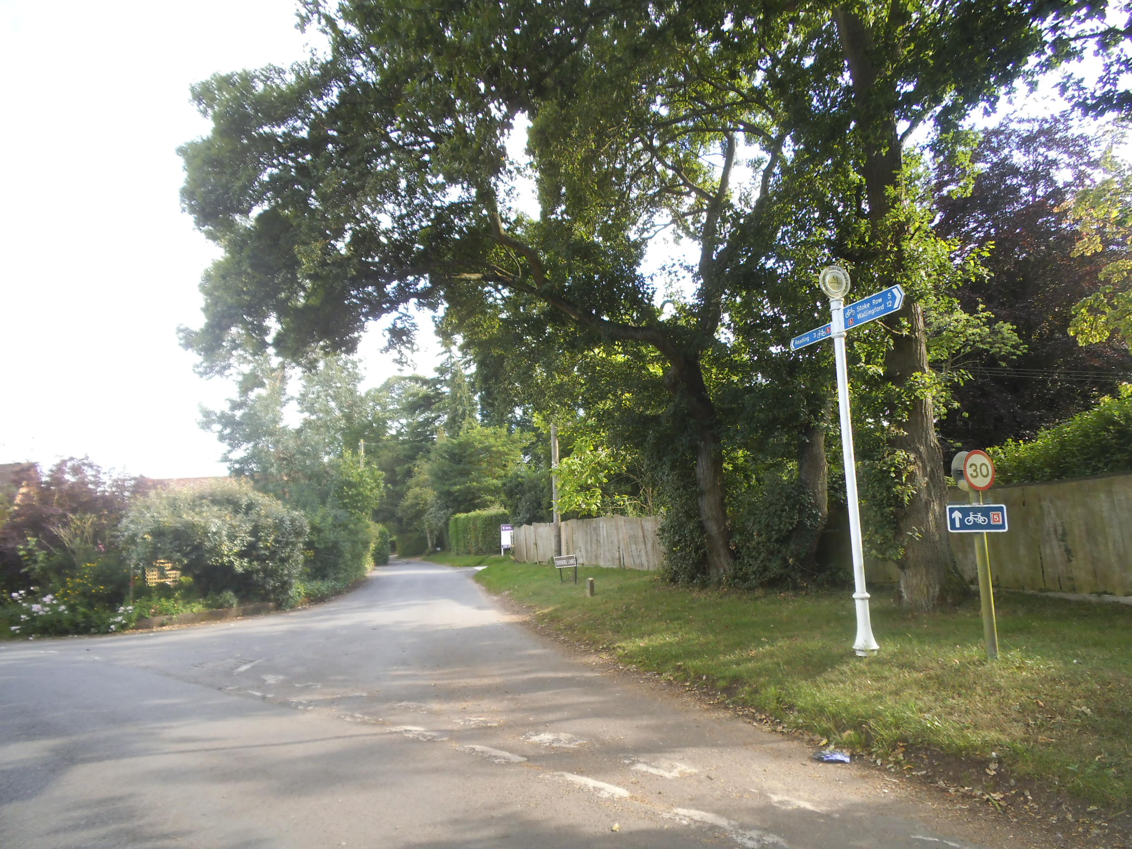
///behalf.overtones.indeed. Near Sonning Common, Oxfordshire

Related Wikis

Sonning Common

Sonning Common is a village and civil parish in a relatively flat, former common land part of the Chiltern Hills in South Oxfordshire, centred 3.5 miles...

Maiden Erlegh Chiltern Edge

Maiden Erlegh Chiltern Edge (formerly Chiltern Edge Community School) is a coeducational secondary school located in Sonning Common, Oxfordshire, England...

Kidmore House

Kidmore House is a Grade II* listed stately home in the village of Kidmore End, in Oxfordshire, England.It was built in 1680 and is described by Historic...

Kidmore End

Kidmore End is a village and civil parish in South Oxfordshire, centred 6 miles (10 km) NNW of Reading, Berkshire, an important regional centre of commerce...

Chalkhouse Green

Chalkhouse Green is a village in Oxfordshire, England. The village is approximately 3 miles (4.8 km) north of Reading, at an average elevation of 83 metres...

Crowsley Park

Crowsley Park is a 160-acre (65 ha) country estate in South Oxfordshire, central-southern England, owned by the British Broadcasting Corporation (BBC)...

Gallowstree Common

Gallowstree Common is a hamlet in South Oxfordshire, England, about 4.5 miles (7.2 km) north of Reading, Berkshire. The village had a public house, the...

1947 Thames flood

The 1947 Thames flood was the most severe flood of the River Thames in the 20th century, affecting much of the Thames Valley as well as elsewhere in England...

Nearby Amenities

Located within 500m of 51.510645,-0.97856439
Created By: osmeditor2
Lat/Long: 51.5076416/-0.9743346
Maxspeed: 30 mph
Traffic Sign: maxspeed
Lat/Long: 51.5121904/-0.9745018
Created By: osmeditor2
Lat/Long: 51.5097745/-0.9789284
Barrier: kissing_gate
Foot: yes
Lat/Long: 51.507172/-0.9775375
Cafe
The Herb Farm Coffee Shop
Lat/Long: 51.5121573/-0.9760629
Bus Stop
Westleigh Drive Turn
Naptan AtcoCode: 340001633NOR
Naptan Bearing: NW
Naptan CommonName: Westleigh Drive Turn
Naptan Indicator: Opp
Naptan Landmark: Westleigh Drive
Naptan NaptanCode: oxfgdpmp
Naptan Street: Kennylands Road
Naptan Verified: no
Source: naptan_import
Lat/Long: 51.5118137/-0.9818495
Bus Stop
Westleigh Drive Turn
Bus: yes
Naptan AtcoCode: 340001633SOU
Naptan Bearing: SE
Naptan CommonName: Westleigh Drive Turn
Naptan Indicator: Cnr
Naptan Landmark: Westleigh Drive
Naptan NaptanCode: oxfgdpmj
Naptan Street: Kennylands Road
Naptan Verified: no
Public Transport: platform
Source: naptan_import
Lat/Long: 51.5116291/-0.9813402
Bus Stop
Essex Way
Bus: yes
Naptan AtcoCode: 340001634CNR
Naptan Bearing: SE
Naptan CommonName: Essex Way
Naptan Indicator: Corner
Naptan Landmark: Essex Way
Naptan NaptanCode: oxfgdpmg
Naptan Street: Kennylands Road
Naptan Verified: no
Public Transport: platform
Source: naptan_import
Wheelchair: limited
Wheelchair Description: No step-free crossing to opposite stop.
Lat/Long: 51.508489/-0.9762067
Bus Stop
Essex Way
Bus: yes
Naptan AtcoCode: 340001634OPP
Naptan Bearing: NW
Naptan CommonName: Essex Way
Naptan Indicator: Opposite
Naptan Landmark: Essex Way
Naptan NaptanCode: oxfgdpmd
Naptan Street: Kennylands Road
Naptan Verified: no
Public Transport: platform
Source: naptan_import
Wheelchair: no
Wheelchair Description: No footway on this side.
Lat/Long: 51.5085945/-0.9766576
Bus Stop
Bird Wood Court
Naptan AtcoCode: 340001653OUT
Naptan Bearing: N
Naptan CommonName: Bird Wood Court
Naptan Indicator: Outside
Naptan Landmark: Bird Wood Court
Naptan NaptanCode: oxfgdtad
Naptan Street: Peppard Road
Naptan Verified: no
Shelter: no
Source: naptan_import
Lat/Long: 51.5098042/-0.9725261
Bus Stop
Bird Wood Court
Naptan AtcoCode: 340001654OPP
Naptan Bearing: S
Naptan BusStopType: CUS
Naptan CommonName: Bird Wood Court
Naptan Indicator: Opposite
Naptan Landmark: Bird Wood Court
Naptan NaptanCode: oxfgdjam
Naptan Street: Peppard Road
Naptan Verified: no
Shelter: no
Source: naptan_import
Lat/Long: 51.5095304/-0.9720192
Bus Stop
Reddish Manor
Bus: yes
Naptan AtcoCode: 340003253OPP
Naptan Bearing: N
Naptan CommonName: Reddish Manor
Naptan Indicator: Opposite
Naptan Landmark: Pengelly Cottage
Naptan NaptanCode: oxfawjmt
Naptan Street: Peppard Road
Naptan Verified: no
Public Transport: platform
Shelter: no
Source: naptan_import
Lat/Long: 51.5143575/-0.9759705
Bus Stop
Reddish Manor
Naptan AtcoCode: 340003253OUT
Naptan Bearing: S
Naptan BusStopType: CUS
Naptan CommonName: Reddish Manor
Naptan Indicator: Outside
Naptan Landmark: Pengelly Cottage
Naptan NaptanCode: oxfawptg
Naptan Street: Peppard Road
Naptan Verified: no
Shelter: no
Source: naptan_import
Lat/Long: 51.5141419/-0.9756784
Post Box
Collection Times: Mo-Sa 09:00
Operator: Royal Mail
Lat/Long: 51.5143978/-0.9759874
Parking
Access: customers
Fee: no
Parking: surface
Lat/Long: 51.5124335/-0.9760185
Parking
Access: yes
Fee: no
Parking: street_side
Lat/Long: 51.5121697/-0.9753372
Point 8: Alpenrose Cottage
Lat/Long: 51.5121168/-0.9822338
Point 8: Alpenrose
Lat/Long: 51.5087623/-0.9772851
Barrier: kissing_gate
Bicycle: no
Foot: yes
Lat/Long: 51.5114977/-0.9843258
Power: tower
Lat/Long: 51.5124926/-0.9791283
Power: tower
Lat/Long: 51.511443/-0.9814493
Power: tower
Lat/Long: 51.5103484/-0.9828794
Power: tower
Lat/Long: 51.5088042/-0.9848374
Location Transition: yes
Power: tower
Lat/Long: 51.5120119/-0.976455
Power: tower
Lat/Long: 51.5106464/-0.9824983
Direction: 140
Generator Method: photovoltaic
Generator Output Electricity: yes
Generator Solar Modules: 10
Generator Source: solar
Generator Type: solar_photovoltaic_panel
Location: roof
Power: generator
Lat/Long: 51.5135999/-0.9766167
Direction: 230
Generator Method: photovoltaic
Generator Output Electricity: yes
Generator Solar Modules: 10
Generator Source: solar
Generator Type: solar_photovoltaic_panel
Location: roof
Power: generator
Lat/Long: 51.5131728/-0.9774157
Turning Circle
Turning Circle: knuckle
Lat/Long: 51.5119315/-0.9785462
Direction: 270
Generator Method: photovoltaic
Generator Output Electricity: yes
Generator Solar Modules: 9
Generator Source: solar
Generator Type: solar_photovoltaic_panel
Location: roof
Power: generator
Lat/Long: 51.5133908/-0.9794172
Direction: 90
Generator Method: photovoltaic
Generator Output Electricity: yes
Generator Solar Modules: 9
Generator Source: solar
Generator Type: solar_photovoltaic_panel
Location: roof
Power: generator
Lat/Long: 51.5133913/-0.9793704
Direction: 230
Generator Method: photovoltaic
Generator Output Electricity: yes
Generator Solar Modules: 19
Generator Source: solar
Generator Type: solar_photovoltaic_panel
Location: roof
Power: generator
Lat/Long: 51.512253/-0.9799089
Power: substation
Lat/Long: 51.512879/-0.981186
Direction: 135
Generator Method: photovoltaic
Generator Output Electricity: yes
Generator Solar Modules: 12
Generator Source: solar
Generator Type: solar_photovoltaic_panel
Location: roof
Power: generator
Lat/Long: 51.5136244/-0.9811145
Direction: 135
Generator Method: photovoltaic
Generator Output Electricity: yes
Generator Solar Modules: 12
Generator Source: solar
Generator Type: solar_photovoltaic_panel
Location: roof
Power: generator
Lat/Long: 51.5126292/-0.9815539
Direction: 225
Generator Method: photovoltaic
Generator Output Electricity: yes
Generator Solar Modules: 10
Generator Source: solar
Generator Type: solar_photovoltaic_panel
Location: roof
Power: generator
Lat/Long: 51.5124917/-0.9819223
Direction: 230
Generator Method: photovoltaic
Generator Output Electricity: yes
Generator Solar Modules: 18
Generator Source: solar
Generator Type: solar_photovoltaic_panel
Location: roof
Power: generator
Lat/Long: 51.5105966/-0.9808996
Direction: 225
Generator Method: photovoltaic
Generator Output Electricity: yes
Generator Solar Modules: 4
Generator Source: solar
Generator Type: solar_photovoltaic_panel
Location: roof
Power: generator
Lat/Long: 51.5111103/-0.980483
Fixme: solar panels?
Lat/Long: 51.508403/-0.9740411
Turning Circle
Turning Circle: knuckle
Lat/Long: 51.508927/-0.9750585
Direction: 215
Generator Method: photovoltaic
Generator Output Electricity: yes
Generator Solar Modules: 10
Generator Source: solar
Generator Type: solar_photovoltaic_panel
Location: roof
Power: generator
Lat/Long: 51.5087073/-0.9761357
Crossing
Crossing: unmarked
Lat/Long: 51.5116265/-0.9741245
The data included in this document is from www.openstreetmap.org. The data is made available under ODbL.

Have you been to Hag Pits?

Leave your review of Hag Pits below (or comments, questions and feedback).