Micklin Hill Wood
Wood, Forest in Yorkshire
England
Micklin Hill Wood
Micklin Hill Wood is a picturesque forest located in Yorkshire, England. Covering an area of approximately 50 acres, it is known for its stunning natural beauty and diverse wildlife.
The wood features a variety of tree species, including oak, beech, and ash, creating a rich and vibrant woodland ecosystem. The dense canopy provides shade and shelter for a wide range of flora and fauna, making it an ideal habitat for many species.
Visitors to Micklin Hill Wood can enjoy peaceful walks along the well-maintained trails that wind through the forest. The trails offer breathtaking views of the surrounding countryside and provide an opportunity to observe the woodland's wildlife up close. Birdwatchers, in particular, will delight in the numerous species of birds that call the wood home, including woodpeckers, owls, and various songbirds.
The wood is also home to a variety of mammals, such as deer, foxes, and rabbits, adding to its natural charm. With its tranquil atmosphere and beautiful surroundings, Micklin Hill Wood is a popular destination for nature enthusiasts and photographers seeking to capture the essence of the British countryside.
Furthermore, the wood is actively managed to ensure the preservation of its natural heritage. Conservation efforts include the careful control of invasive species, maintaining the balance of the woodland ecosystem, and promoting sustainable practices.
Overall, Micklin Hill Wood is a haven for nature lovers, offering a peaceful retreat and a chance to connect with the beauty of the natural world.
If you have any feedback on the listing, please let us know in the comments section below.
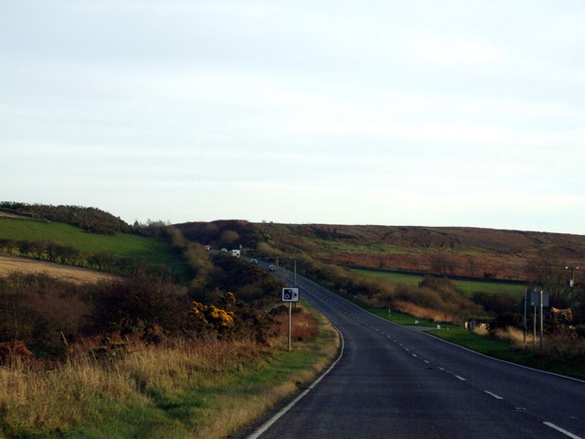
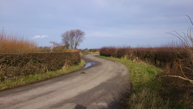
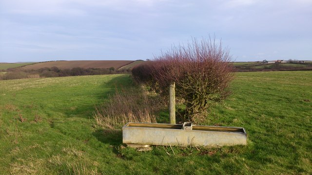
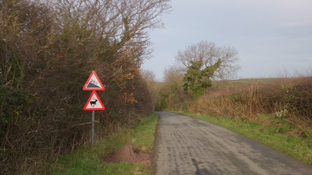
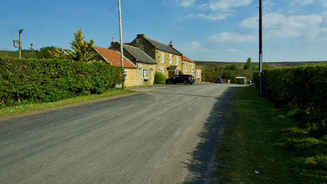
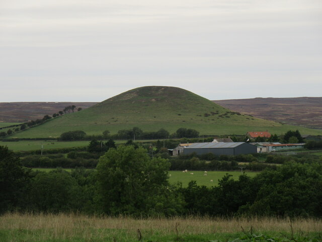
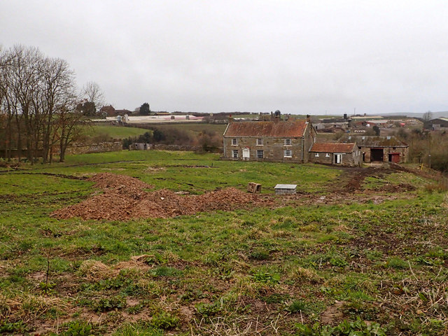
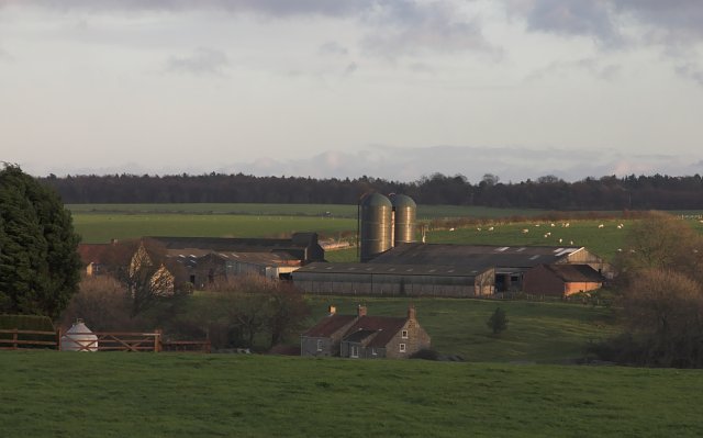
Micklin Hill Wood Images
Images are sourced within 2km of 54.513631/-0.9058162 or Grid Reference NZ7013. Thanks to Geograph Open Source API. All images are credited.


Micklin Hill Wood is located at Grid Ref: NZ7013 (Lat: 54.513631, Lng: -0.9058162)
Division: North Riding
Unitary Authority: Redcar and Cleveland
Police Authority: Cleveland
What 3 Words
///grudges.carting.streaking. Near Lingdale, North Yorkshire
Nearby Locations
Related Wikis

Pinkney and Gerrick Woods
Pinkney And Gerrick Woods (grid reference NZ708138) is a 62.7 hectare biological Site of Special Scientific Interest in North Yorkshire, England notified...

Moorsholm
Moorsholm is a village in the unitary authority of Redcar and Cleveland and the ceremonial county of North Yorkshire, England. The village lies 5 miles...

Liverton
Liverton is a village in the civil parish of Loftus, in the borough of Redcar and Cleveland and the ceremonial county of North Yorkshire, England.Liverton...

Woodsmith Mine Tunnel
The Woodsmith Mine Tunnel (also known as a Mineral Transport System [MTS]) is a 23-mile (37 km) long tunnel that will stretch between Woodsmith Mine at...
Handale Priory
Handale Priory (also called Grendale) was a priory of Cistercian nuns in Handale, North Yorkshire, England. It was founded in 1133 by William, son of Roger...
Handale
Handale is a hamlet, that is 2 miles (3 km) south of Loftus, in the borough of Redcar and Cleveland and the ceremonial county of North Yorkshire, England...

Ironstone mining in Cleveland and North Yorkshire
Ironstone mining in Cleveland and North Yorkshire occurred on a sizeable scale from the 1830s to the 1960s in present day eastern parts of North Yorkshire...
Scaling, North Yorkshire
Scaling is a village in the borough of Redcar and Cleveland and the ceremonial county of North Yorkshire, England == External links == Media related to...
Have you been to Micklin Hill Wood?
Leave your review of Micklin Hill Wood below (or comments, questions and feedback).