Barges Spinney
Wood, Forest in Nottinghamshire Rushcliffe
England
Barges Spinney

Barges Spinney is a woodland area located in Nottinghamshire, England. Situated within the larger Sherwood Forest, it covers an approximate area of 200 acres. The spinney is characterized by its peaceful and serene atmosphere, making it a popular destination for nature enthusiasts and hikers alike.
One of the key features of Barges Spinney is its diverse range of tree species. The woodland is home to a mixture of broadleaf and coniferous trees, including oak, beech, pine, and birch. This variety of trees creates a rich and vibrant environment, providing habitat for various wildlife species.
The spinney is also intersected by a small stream, which adds to its natural beauty. Visitors can follow the stream along its course, enjoying the soothing sound of running water and observing the flora and fauna that thrive along its banks.
Barges Spinney offers a range of walking trails and footpaths, allowing visitors to explore the woodland at their own pace. These paths are well-maintained and signposted, making navigation easy for visitors of all ages and abilities. The woodland is also equipped with picnic areas and benches, providing opportunities for visitors to relax and enjoy the tranquil surroundings.
In addition to its natural beauty, Barges Spinney has historical significance. The woodland is said to have been part of the hunting grounds of medieval kings, and remnants of ancient boundaries and ditches can still be found within the area.
Overall, Barges Spinney is a picturesque woodland in Nottinghamshire, offering a peaceful escape from the hustle and bustle of everyday life. Its diverse flora and fauna, walking trails, and historical charm make it a must-visit destination for nature lovers and history enthusiasts alike.
If you have any feedback on the listing, please let us know in the comments section below.
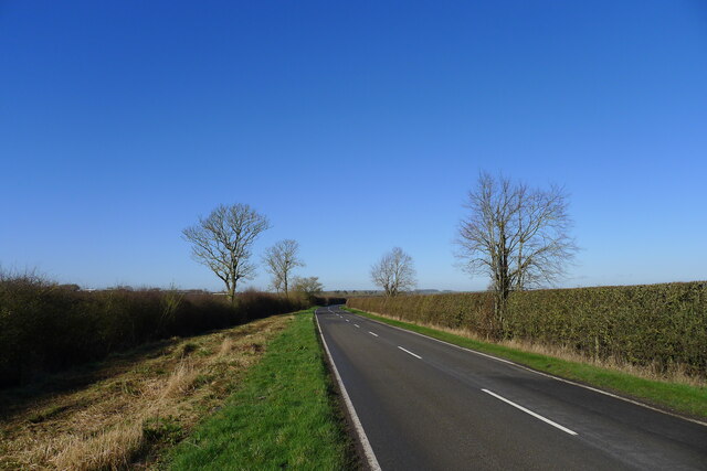
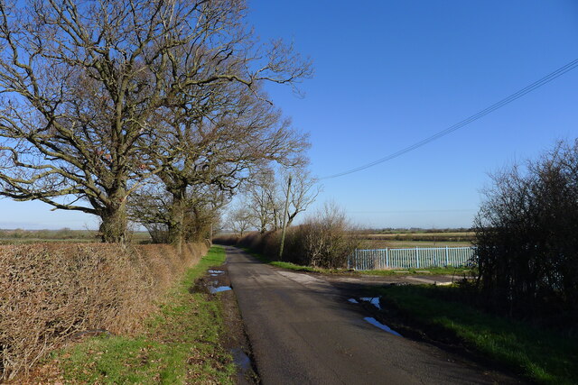
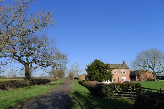
Barges Spinney Images
Images are sourced within 2km of 52.878671/-0.94800101 or Grid Reference SK7031. Thanks to Geograph Open Source API. All images are credited.


Barges Spinney is located at Grid Ref: SK7031 (Lat: 52.878671, Lng: -0.94800101)
Administrative County: Nottinghamshire
District: Rushcliffe
Police Authority: Nottinghamshire
What 3 Words
///gloom.yards.aged. Near Cropwell Bishop, Nottinghamshire
Nearby Locations
Related Wikis
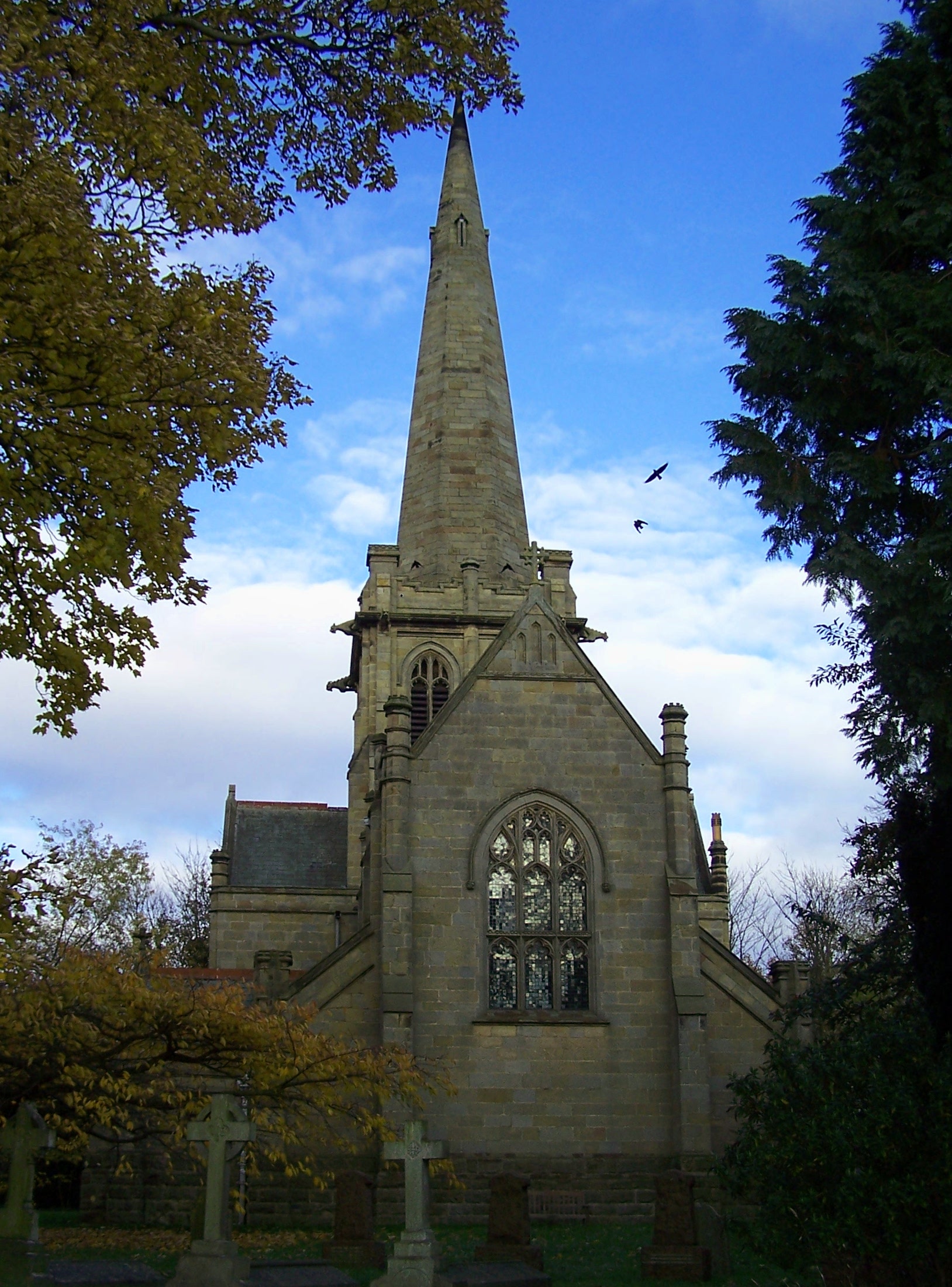
St John's Church, Colston Bassett
St John's Church, Colston Bassett is an English parish church of the Church of England in Colston Bassett, Nottinghamshire. It is Grade II listed by the...
Colston Bassett
Colston Bassett is an English village in the Vale of Belvoir, in the Rushcliffe district of south-east Nottinghamshire, close to its border with Leicestershire...

Kinoulton
Kinoulton is a village, civil parish and ecclesiastical parish in Nottinghamshire, England, 10 miles (16 km) south east of the city of Nottingham. It is...

St Luke's Church, Hickling
St Luke's Church, Hickling is a Grade I listed parish church in the Church of England in Hickling, Nottinghamshire. == History == It was built in the 14th...
Nearby Amenities
Located within 500m of 52.878671,-0.94800101Have you been to Barges Spinney?
Leave your review of Barges Spinney below (or comments, questions and feedback).