Carr Bridge Spinney
Wood, Forest in Leicestershire Harborough
England
Carr Bridge Spinney
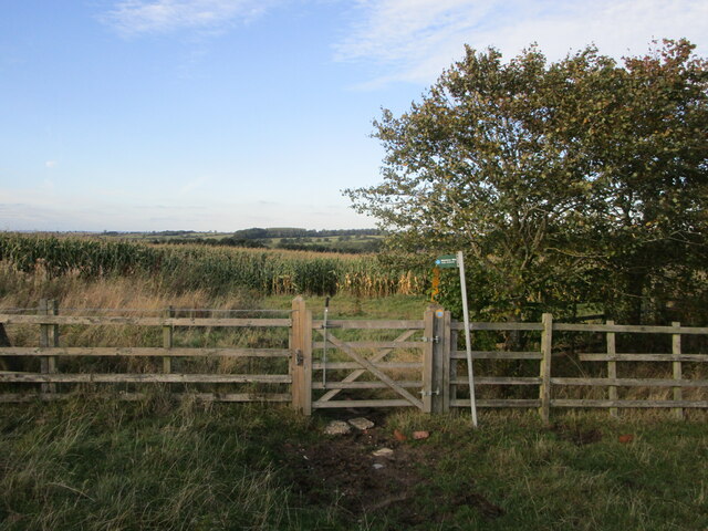
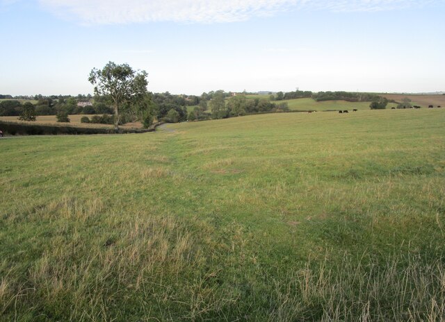
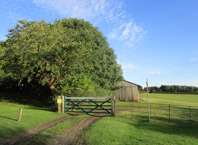
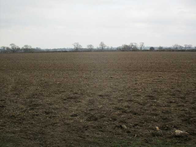
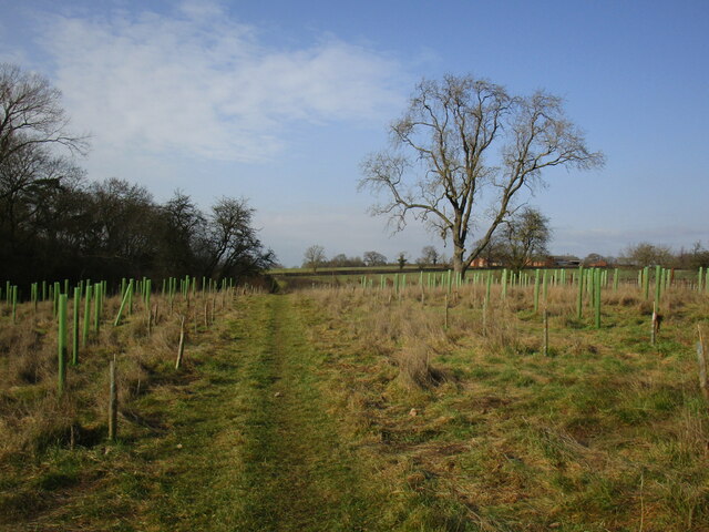
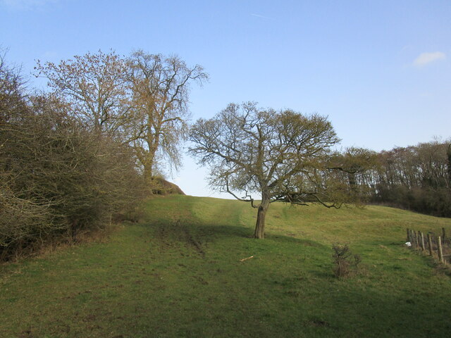
Carr Bridge Spinney, located in Leicestershire, is a picturesque woodland area known for its natural beauty and tranquil atmosphere. Covering a vast expanse, this enchanting forest is a haven for nature enthusiasts and offers a range of recreational activities for visitors to enjoy.
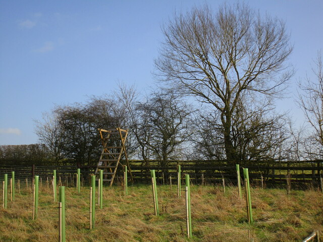
The woodland is predominantly composed of various species of trees, including oak, beech, and ash, creating a diverse and vibrant ecosystem. The dense foliage provides a habitat for an array of wildlife, from birds and insects to small mammals like squirrels and rabbits. The forest floor is adorned with a carpet of wildflowers during the spring and summer months, adding a burst of color to the surroundings.
Carr Bridge Spinney is intersected by a meandering stream, enhancing its natural charm. The babbling brook not only adds to the scenic beauty but also provides a refreshing spot for visitors to relax and enjoy a picnic or a leisurely stroll alongside its banks.
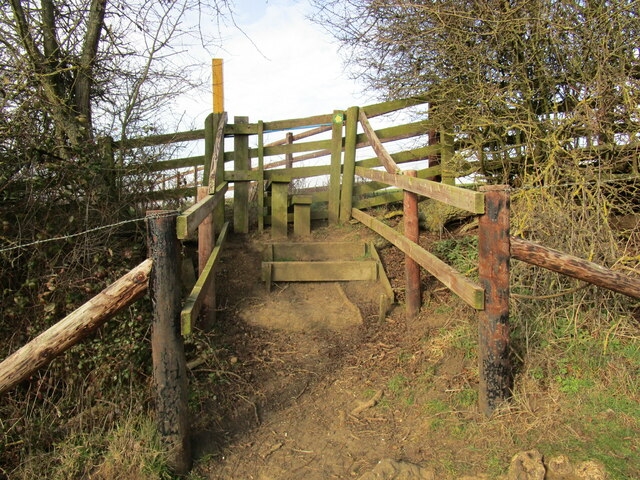
For those seeking outdoor activities, the forest offers several walking trails and cycling routes, allowing visitors to explore the woodlands at their own pace. The well-maintained paths wind through the trees, offering glimpses of the surrounding countryside and providing opportunities for wildlife spotting along the way.
Overall, Carr Bridge Spinney is a delightful woodland escape, offering a serene and idyllic setting for nature lovers and outdoor enthusiasts alike. With its diverse flora and fauna, peaceful streams, and recreational opportunities, it is a must-visit destination for those seeking a respite from the hustle and bustle of everyday life.
If you have any feedback on the listing, please let us know in the comments section below.
Carr Bridge Spinney Images
Images are sourced within 2km of 52.669802/-0.95334893 or Grid Reference SK7008. Thanks to Geograph Open Source API. All images are credited.


Carr Bridge Spinney is located at Grid Ref: SK7008 (Lat: 52.669802, Lng: -0.95334893)
Administrative County: Leicestershire
District: Harborough
Police Authority: Leicestershire
What 3 Words
///gladiator.bumping.notifying. Near Houghton on the Hill, Leicestershire
Nearby Locations
Related Wikis

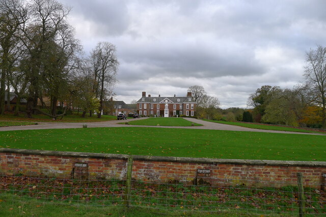
Baggrave Hall
Baggrave Hall is an 18th-century Grade II* listed country house in the parish of Hungarton, Leicestershire, England. It is a two and three-storey building...
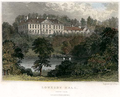
Lowesby Hall
Lowesby Hall is a large Grade II* Georgian mansion in the parish and former manor of Lowesby, eight miles east of Leicester in Leicestershire. It is a...

Lowesby
Lowesby is a small parish and township situated in the district of Harborough in Leicestershire. It is 8 miles east of the county capital, Leicester, and...

Hungarton
Hungarton (or Hungerton) is a small village and civil parish in the Harborough district, in the county of Leicestershire, England, about 10 miles (16 km...

Cold Newton
Cold Newton is a small hamlet and civil parish in the Harborough district of Leicestershire, England. It is situated about two miles from Tilton on the...

Quenby Hall
Quenby Hall is a Jacobean house in parkland near the villages of Cold Newton and Hungarton, Leicestershire, England. It is described by Sir Nikolaus Pevsner...

South Croxton
South Croxton (traditionally pronounced "crow-sun" [ˈkroʊsən]) is a village and civil parish in the Charnwood district of Leicestershire, England. It had...
Barsby
Barsby is a village and former civil parish now in the parish of Gaddesby, in the Melton district, in the county of Leicestershire, England. In 1931 the...
Nearby Amenities
Located within 500m of 52.669802,-0.95334893Have you been to Carr Bridge Spinney?
Leave your review of Carr Bridge Spinney below (or comments, questions and feedback).