Greenfield Copse
Wood, Forest in Oxfordshire South Oxfordshire
England
Greenfield Copse

Greenfield Copse is a picturesque woodland located in Oxfordshire, England. Covering an area of approximately 50 acres, it is a haven for nature enthusiasts and outdoor lovers alike. The copse is situated near the village of Greenfield, hence its name, and is easily accessible from the surrounding areas.
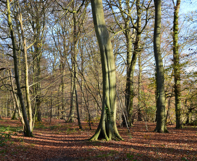
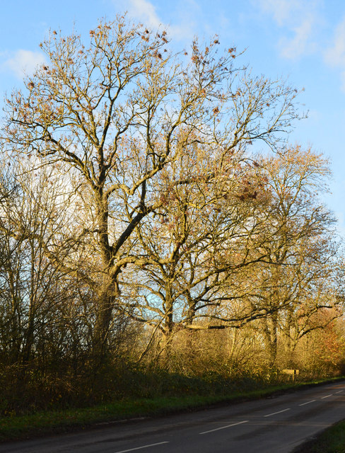
The woodland is primarily composed of a diverse range of deciduous trees, including oak, beech, ash, and birch. These trees create a dense canopy, providing shade and shelter for various flora and fauna. Bluebells, wild garlic, and primroses are just a few examples of the vibrant plant life that thrives within the copse.
Greenfield Copse is home to numerous species of wildlife, making it a popular spot for birdwatchers and wildlife photographers. Some of the common bird species found here include woodpeckers, thrushes, and a variety of woodland birds. Small mammals like squirrels, voles, and mice can also be spotted scurrying through the undergrowth.
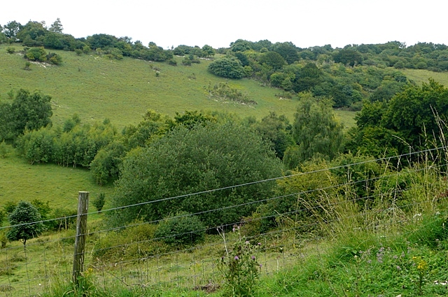
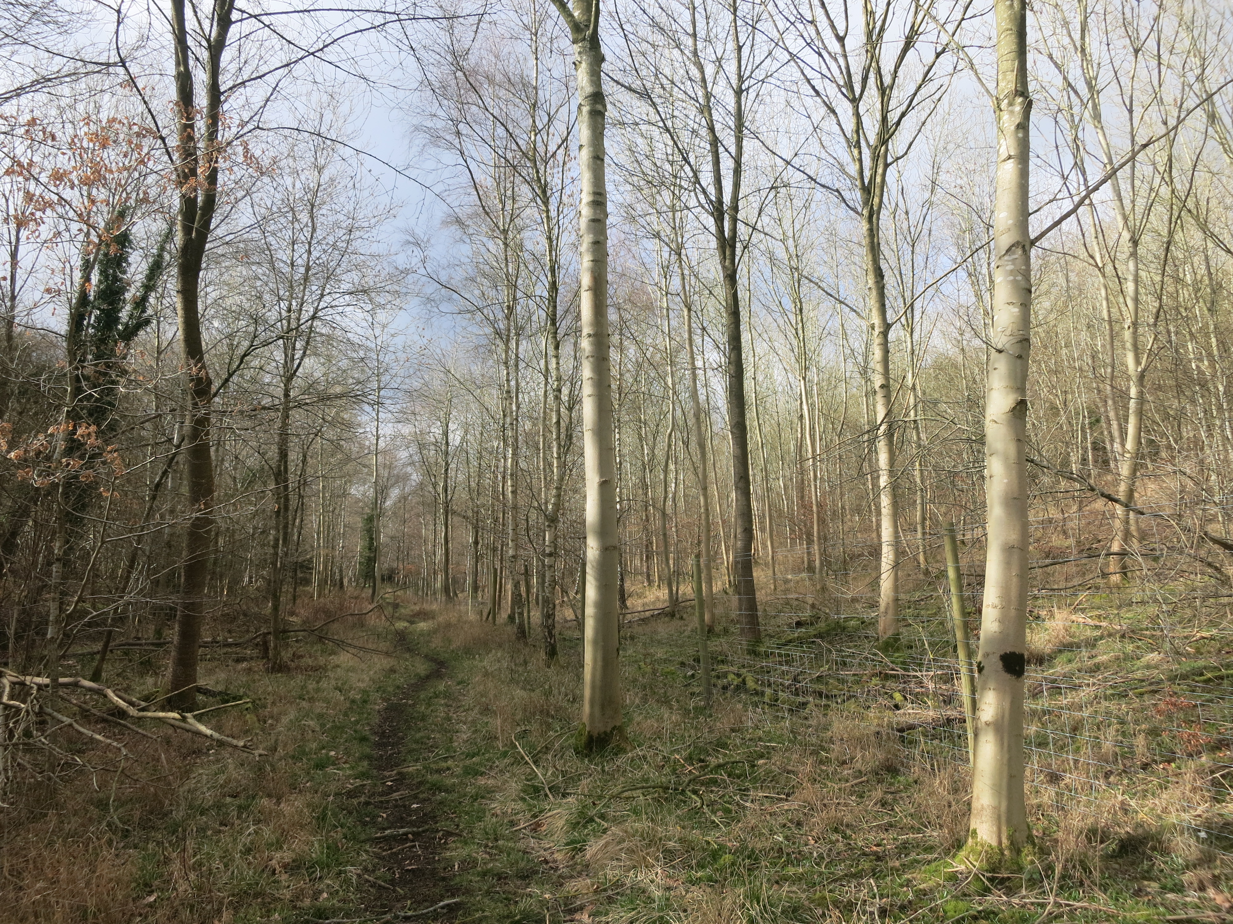
The copse offers several walking trails, allowing visitors to explore its natural beauty at their own pace. These paths wind through the woodland, offering glimpses of babbling brooks and peaceful clearings along the way. The tranquil atmosphere and lush surroundings make Greenfield Copse an ideal location for a leisurely stroll or a picnic.
Additionally, the copse is managed by a local conservation group, ensuring its preservation for future generations to enjoy. This dedication to maintaining the natural habitat has resulted in the copse being recognized as a Site of Special Scientific Interest (SSSI), further emphasizing its ecological importance.
Overall, Greenfield Copse is a stunning natural oasis that offers a serene escape from the hustle and bustle of everyday life. Whether one is seeking solitude in nature, observing wildlife, or simply enjoying a peaceful walk, this woodland provides a perfect setting.
If you have any feedback on the listing, please let us know in the comments section below.
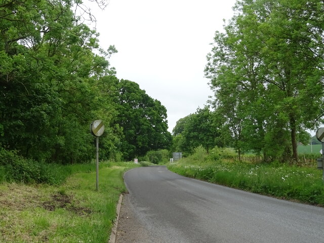
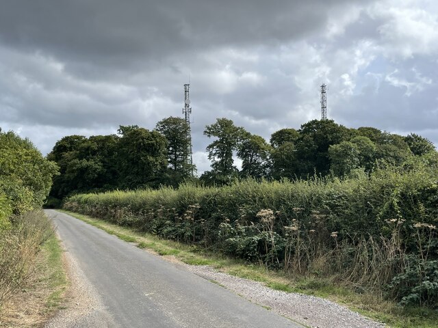
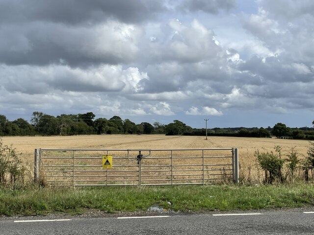
Greenfield Copse Images
Images are sourced within 2km of 51.62335/-0.97794304 or Grid Reference SU7092. Thanks to Geograph Open Source API. All images are credited.


Greenfield Copse is located at Grid Ref: SU7092 (Lat: 51.62335, Lng: -0.97794304)
Administrative County: Oxfordshire
District: South Oxfordshire
Police Authority: Thames Valley
What 3 Words
///half.landmark.reworked. Near Watlington, Oxfordshire
Nearby Locations
Related Wikis

Watlington Park
Watlington Park is an English country house with its surrounding grounds of approximately 500 acres (200 ha), located atop an escarpment in the Chiltern...

Christmas Common
Christmas Common is a hamlet in Watlington civil parish, Oxfordshire about 7+1⁄2 miles (12 km) south of Thame in Oxfordshire, close to the boundary with...
Watlington and Pyrton Hills
Watlington and Pyrton Hills is a 112.7-hectare (278-acre) biological Site of Special Scientific Interest east of Watlington in Oxfordshire. An area of...
Pishill Woods
Pishill Woods is a 42.8-hectare (106-acre) biological Site of Special Scientific Interest north of Nettlebed in Oxfordshire.These semi-natural woods have...

Watlington Chalk Pit
Watlington Chalk Pit is a 1.6-hectare (4.0-acre) Local Nature Reserve east of Watlington in Oxfordshire. It is owned by South Oxfordshire District Council...

Russell's Water
Russell's Water is a hamlet about 6 miles (9.7 km) north of Henley-on-Thames in South Oxfordshire. It is in the Chiltern Hills about 620 feet (190 m)...
Northend, Buckinghamshire
Northend is a village that straddles the border of the two English counties of Buckinghamshire and Oxfordshire. The eastern half is in the civil parish...
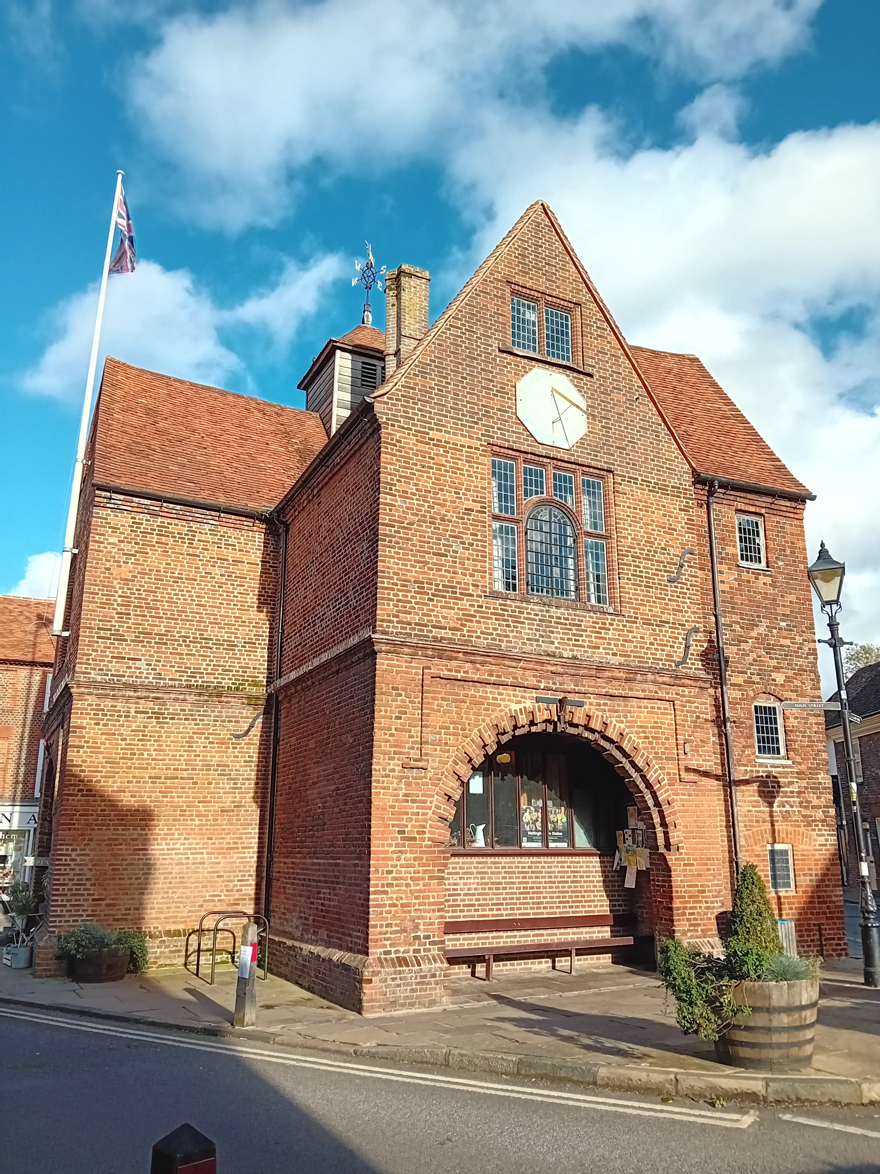
Watlington Town Hall
Watlington Town Hall is a municipal building in the High Street in Watlington, Oxfordshire, England. The building, which is used as a community events...
Nearby Amenities
Located within 500m of 51.62335,-0.97794304Have you been to Greenfield Copse?
Leave your review of Greenfield Copse below (or comments, questions and feedback).