Bell's Copse
Wood, Forest in Hampshire Havant
England
Bell's Copse
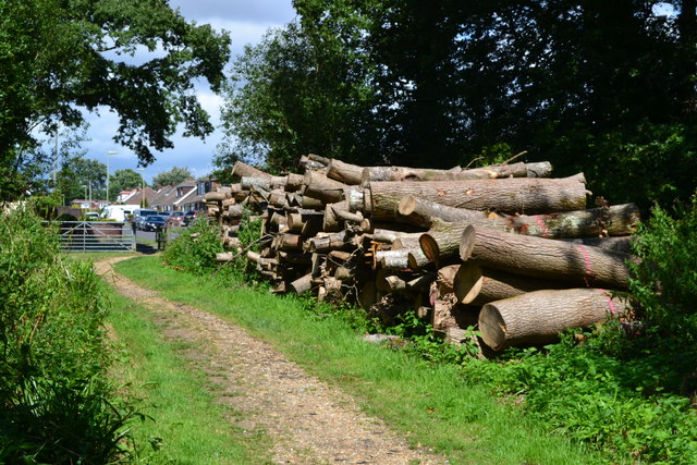
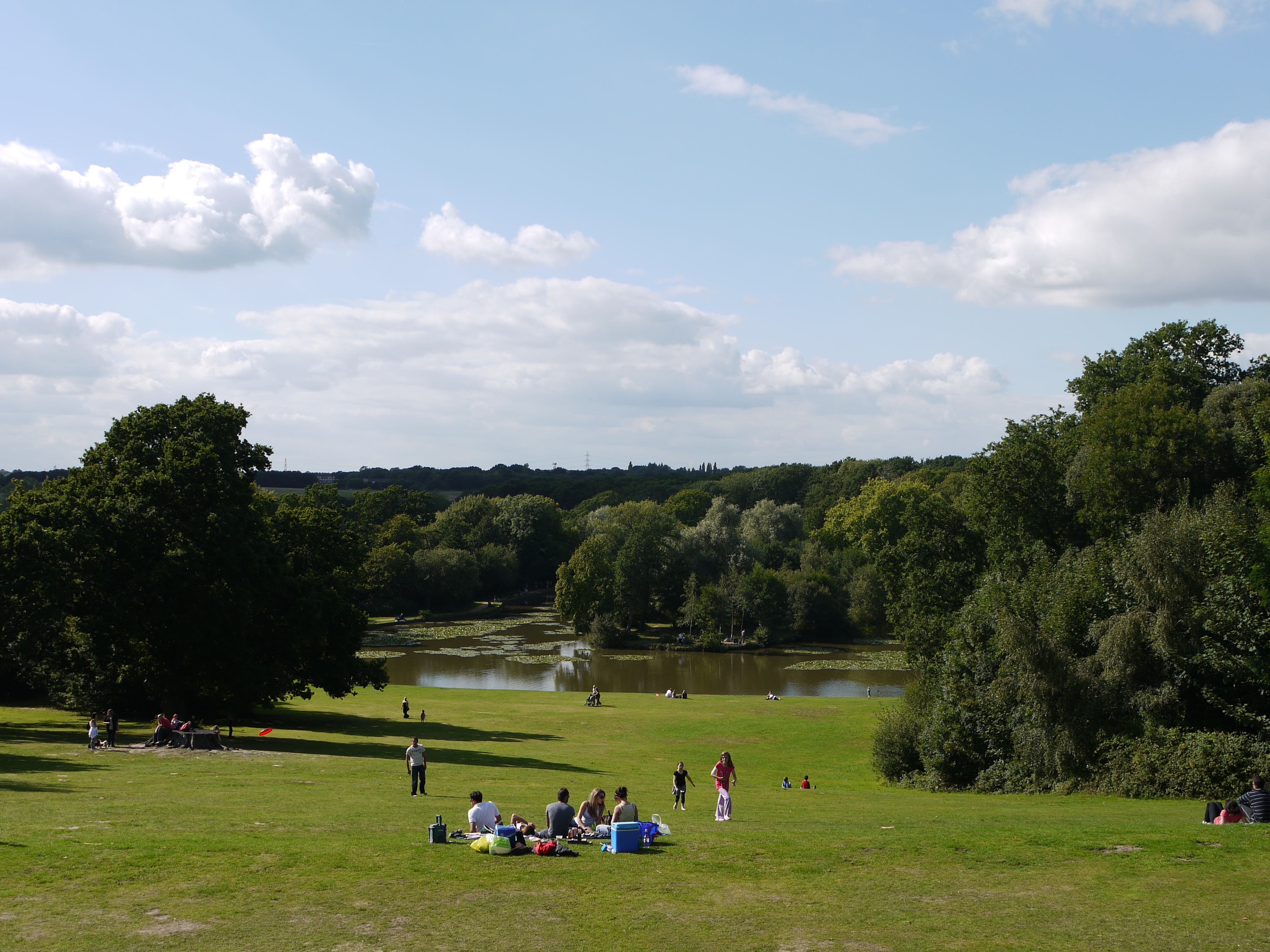
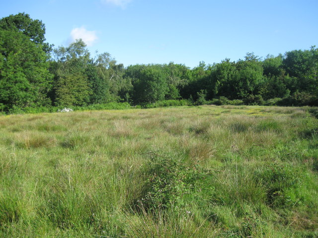
Bell's Copse is a charming woodland located in Hampshire, England. Nestled in the heart of the countryside, this ancient forest covers an area of approximately 20 acres. It is a popular destination for nature enthusiasts, hikers, and families seeking to reconnect with the great outdoors.
The copse is predominantly composed of native deciduous trees, including oak, beech, and birch, creating a diverse and picturesque landscape. The forest floor is adorned with a carpet of wildflowers, adding a burst of color to the surroundings. Bluebells, primroses, and wood anemones bloom in abundance during the spring months, attracting a wide range of wildlife.
The woodland is home to a variety of animal species, such as deer, badgers, foxes, and an array of birdlife. Visitors may catch a glimpse of a red kite soaring above the treetops or hear the melodic song of a blackbird echoing through the trees.
A network of well-maintained trails winds its way through the copse, allowing visitors to explore the forest at their own pace. These paths lead to several clearings and picnic spots, where visitors can take a break and enjoy the tranquil surroundings. There is also a small stream that meanders through the woodland, providing a calming soundtrack to the experience.
Bell's Copse offers a serene and immersive nature experience, providing an escape from the hustle and bustle of everyday life. Whether walking, bird-watching, or simply enjoying a peaceful picnic, this enchanting forest is a haven for anyone seeking solace in the beauty of nature.
If you have any feedback on the listing, please let us know in the comments section below.
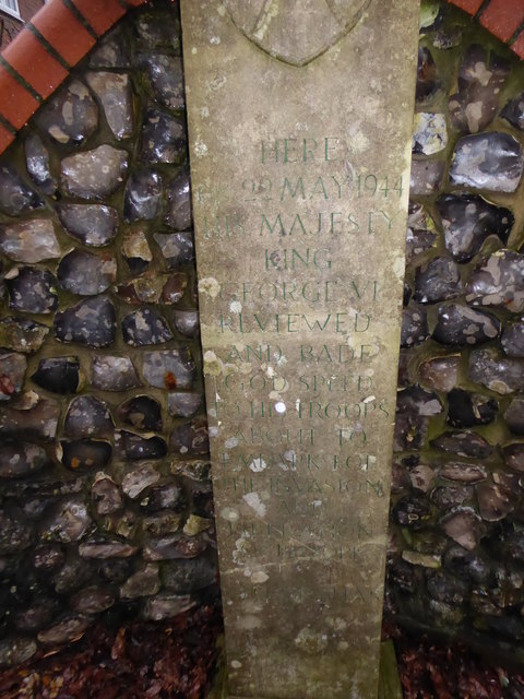
Bell's Copse Images
Images are sourced within 2km of 50.886387/-0.99847231 or Grid Reference SU7010. Thanks to Geograph Open Source API. All images are credited.


Bell's Copse is located at Grid Ref: SU7010 (Lat: 50.886387, Lng: -0.99847231)
Administrative County: Hampshire
District: Havant
Police Authority: Hampshire
What 3 Words
///learn.valve.upsetting. Near Cowplain, Hampshire
Nearby Locations
Related Wikis
Staunton Country Park
Staunton Country Park is a listed Regency landscaped parkland and forest encompassing approximately 1,000 acres (4.0 km2) in Hampshire, England.An ornamental...
Hazleton Common, Horndean
Hazleton Common, Horndean is a 17.5-hectare (43-acre) Local Nature Reserve in Horndean in Hampshire. It is owned and managed by Horndean Parish Council...

Park Community School
Park Community School is a coeducational community secondary school, located in the Leigh Park area of Havant in the English county of Hampshire.It is...

The Cowplain School
The Cowplain School (formerly Cowplain Community School, and Cowplain Comprehensive school) is a coeducational secondary school located in Cowplain, Hampshire...
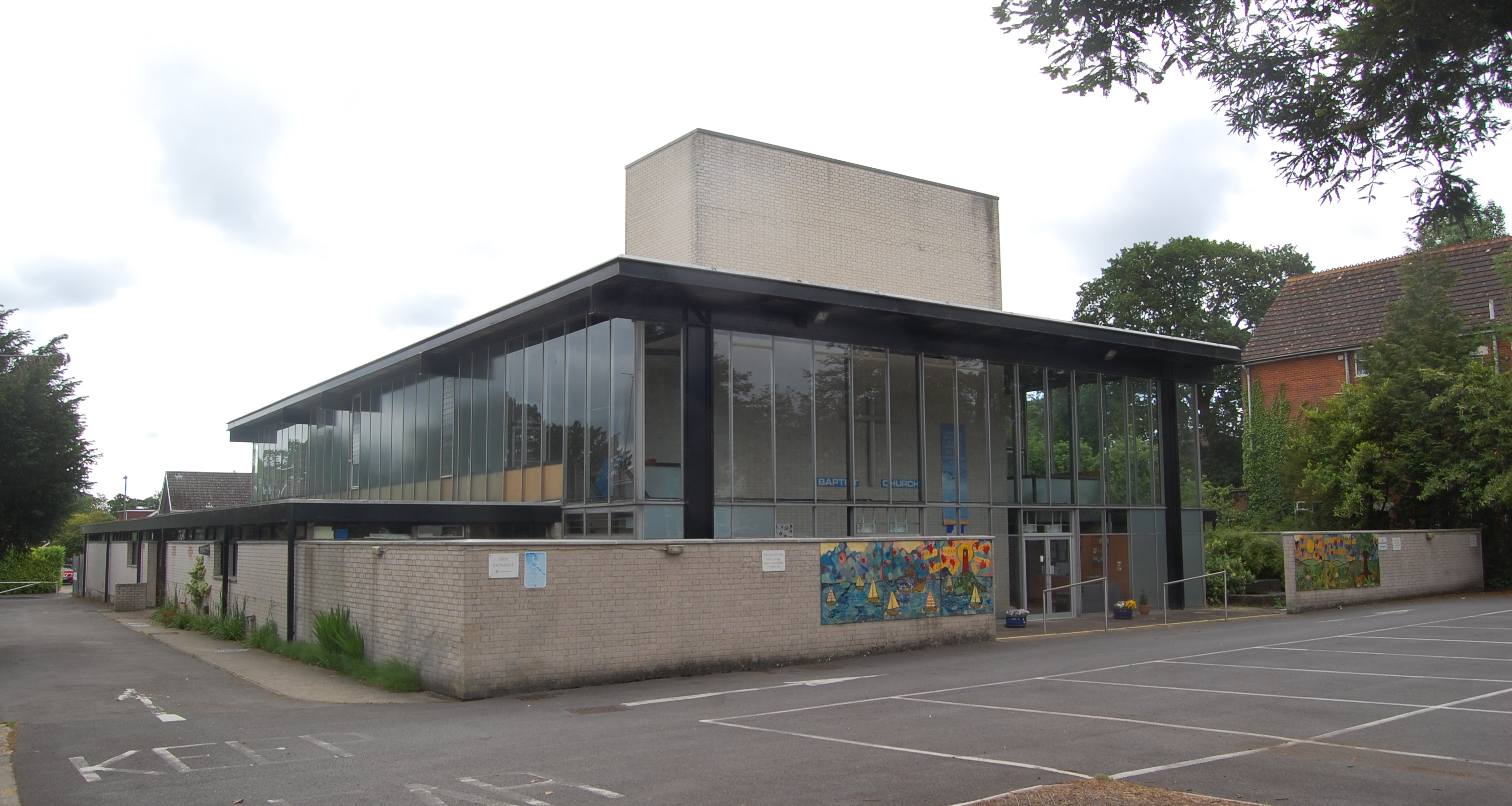
Waterlooville Baptist Church
Waterlooville Baptist Church is a Baptist church in Waterlooville and surrounding suburban areas in the borough of Havant in Hampshire, southeast England...
Cowplain
Cowplain is a village north of Waterlooville, Hampshire, England. With a population of 9,353 at the 2011 census, it makes up above 7% of Havant borough...
Leigh Park
Leigh Park is a large suburb (population 27,500) of Havant, in Hampshire, England. It currently forms the bulk or whole of four electoral wards: Battins...
Havant Academy
Havant Academy is a mixed secondary school located in the Leigh Park area of Havant in the English county of Hampshire. The school is situated at the edge...
Nearby Amenities
Located within 500m of 50.886387,-0.99847231Have you been to Bell's Copse?
Leave your review of Bell's Copse below (or comments, questions and feedback).