Dyson's Wood

Wood, Forest in Oxfordshire South Oxfordshire

England

Dyson's Wood

Direction Sign – Signpost on the B481, Sonning Common Located on the southwest side of the crossroads of the B481 Peppard Road and Bird in Hand Lane, opposite The Bird in Hand public house in Sonning Common parish. 4 arms and annulus finial. See also <a title="https://www.geograph.org.uk/photo/4070130" href="https://www.geograph.org.uk/photo/4070130">Link</a> and <a title="https://www.geograph.org.uk/photo/4070122" href="https://www.geograph.org.uk/photo/4070122">Link</a>.

Milestone Society National ID: OX_SU7179
Direction Sign – Signpost on the B481, Sonning Common Credit: John V Nicholls

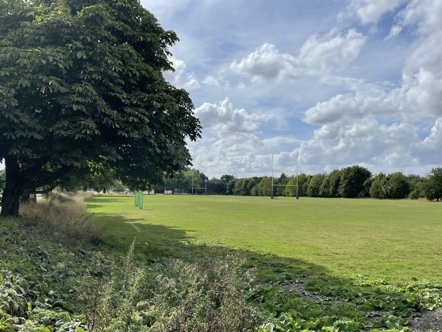
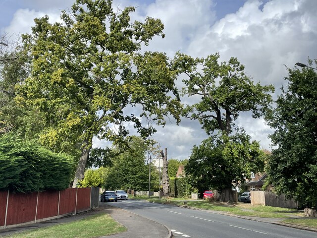
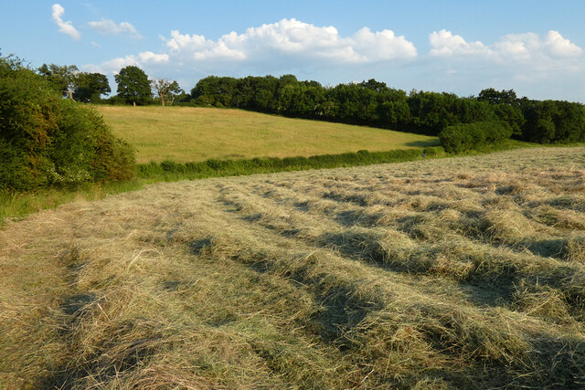
Dyson's Wood is a sprawling forest located in Oxfordshire, England. Covering an area of approximately 500 acres, this wood is known for its natural beauty and diverse ecosystem. It is located near the village of Stanton Harcourt and is easily accessible to visitors from Oxford and surrounding areas.

The wood is primarily composed of deciduous trees, including oak, beech, and ash, which create a dense canopy that provides shade and shelter for a variety of wildlife. The forest floor is carpeted with a rich assortment of flora, such as bluebells, wild garlic, and ferns, adding to the wood's serene and picturesque atmosphere.

As one explores the wood, they will come across a network of well-maintained footpaths and trails that wind through the trees, offering visitors a chance to immerse themselves in nature. These pathways are popular among walkers, joggers, and cyclists, providing a peaceful escape from the hustle and bustle of everyday life.

Dyson's Wood is not only a haven for humans; it is also home to an array of wildlife. Birdwatchers can spot a variety of avian species, including woodpeckers, owls, and various songbirds. Additionally, the wood is inhabited by deer, foxes, badgers, and other small mammals.

The wood is managed by a dedicated team of conservationists who work diligently to preserve its natural beauty and protect the wildlife that calls it home. They organize regular educational programs and guided walks to raise awareness about the importance of conservation and sustainable practices.

In summary, Dyson's Wood is a breathtaking forest that offers visitors a chance to reconnect with nature. With its diverse ecosystem, well-maintained trails, and commitment to conservation, it is a true gem in the heart of Oxfordshire.

If you have any feedback on the listing, please let us know in the comments section below.
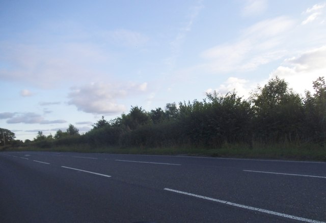
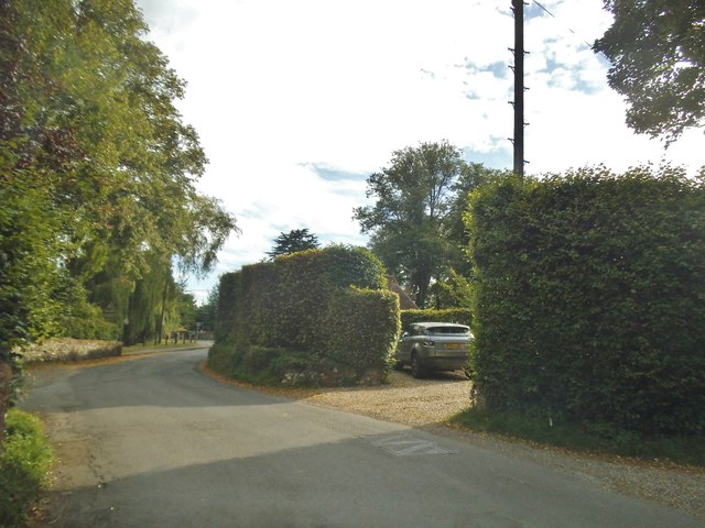
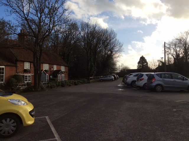
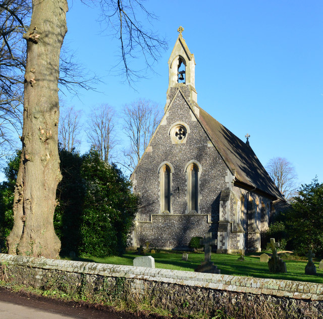
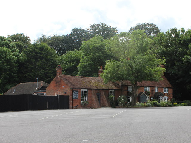
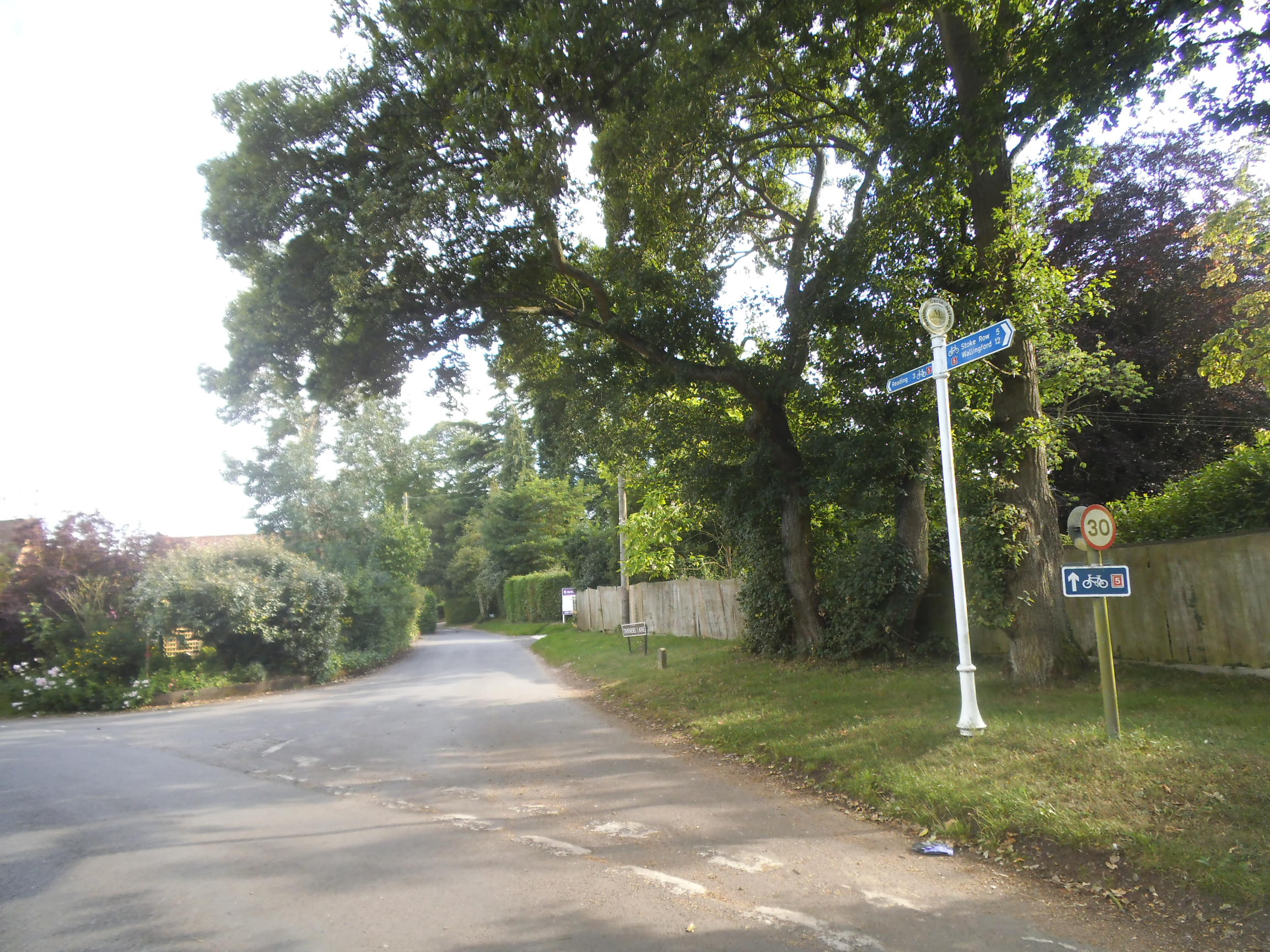
Dyson's Wood Images

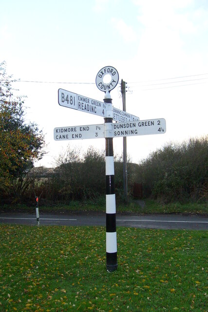
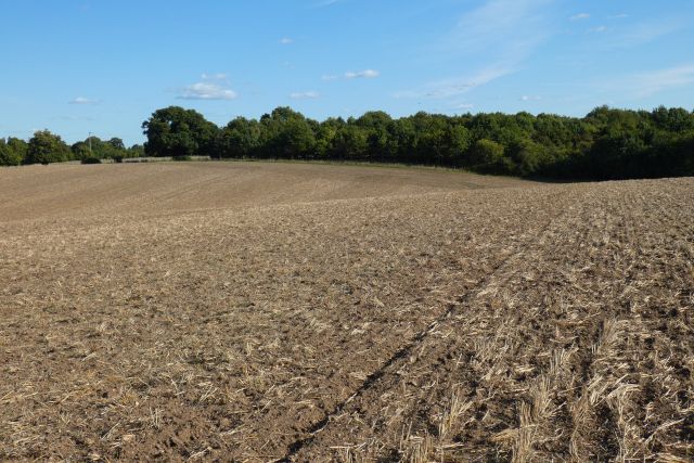
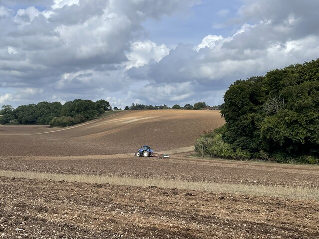
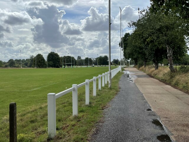
Images are sourced within 2km of 51.497586/-0.98754302 or Grid Reference SU7078. Thanks to Geograph Open Source API. All images are credited.

Direction Sign – Signpost on the B481, Sonning Common Located on the southwest side of the crossroads of the B481 Peppard Road and Bird in Hand Lane, opposite The Bird in Hand public house in Sonning Common parish. 4 arms and annulus finial. See also <a title="https://www.geograph.org.uk/photo/4070130" href="https://www.geograph.org.uk/photo/4070130">Link</a> and <a title="https://www.geograph.org.uk/photo/4070122" href="https://www.geograph.org.uk/photo/4070122">Link</a>.

Milestone Society National ID: OX_SU7179
Direction Sign – Signpost on the B481, Sonning Common
Located on the southwest side of the crossroads of the B481 Peppard Road and Bird in Hand Lane, opposite The Bird in Hand public house in Sonning Common parish. 4 arms and annulus finial. See also Link and Link. Milestone Society National ID: OX_SU7179
Farmland, Kidmore End
Farmland, Sonning Common
Ploughing the headland, Sonning Common Looking north-east from Peppard Road towards the corner of Young Wood.
Ploughing the headland, Sonning Common
Looking north-east from Peppard Road towards the corner of Young Wood.
Ploughing the headland, Sonning Common Looking north-east from Peppard Road towards the corner of Young Wood.
Ploughing the headland, Sonning Common
Looking north-east from Peppard Road towards the corner of Young Wood.
Driveway to Reading Abbey Rugby Club
Rugby pitches, Reading Abbey Rugby Club
Oak trees on Peppard Road, Emmer Green Looking north from the entrance to Rosehill Park.
Oak trees on Peppard Road, Emmer Green
Looking north from the entrance to Rosehill Park.
Farmland, Kidmore End With cut hay in the dry valley between Tokers Green and Chalkhouse Green.
Farmland, Kidmore End
With cut hay in the dry valley between Tokers Green and Chalkhouse Green.
The New Inn, Kidmore End
Sheepway Lane at the junction of the A4074
House entrances on Wood Lane, Kidmore End
The A4074, Chazey Heath
Reading Road in Green Dean Wood
Kidmore Lane, Kidmore End
The Pack Horse The Pack Horse, a 17th century former farmhouse on the Mapledurham House estate <span class="nowrap"><a title="https://www.homecountiespubs.co.uk/packhorse/history/" rel="nofollow ugc noopener" href="https://www.homecountiespubs.co.uk/packhorse/history/">Link</a><img style="margin-left:2px;" alt="External link" title="External link - shift click to open in new window" src="https://s1.geograph.org.uk/img/external.png" width="10" height="10"/></span> , has now become quite a gastro pub, with an extremely long gin list.
The Pack Horse
The Pack Horse, a 17th century former farmhouse on the Mapledurham House estate LinkExternal link , has now become quite a gastro pub, with an extremely long gin list.
Church of St John the Baptist, Kidmore End, Oxfordshire 1852. By Arthur Billing. Vestry added 1894. Knapped flint with stone dressings; plain tile roof. 4-bay nave with apse. Early English style. Gabled porch to right of centre with 2-centred arched doorway with glazed C20 double door. Single lancet to each bay except paired lancet to left. Octagonal apse with lancet window to each face. 2 lancet windows to west end with quatrefoil window above. Lancet windows to south side. Vestry in similar style under catslide roof. Gabled roof to nave with hipped roof to apse. Bellcote to west end gable. Interior: Stone octagonal font with carved panels to principal faces, on marble columns with stepped base. Stone pulpit with Salviati mosaic panels to left of apse arch. Organ to right of apse arch with painted decoration to pipes. Piscina to left of altar. Sedilia to right of altar. Reredos of blind trefoil arches to three sides of the apse. Ornamental glazed faience tiles to floor of apse. Wooden truss roof to nave. Painted brick vault to apse with decorated ribs. A small church with good fittings. (Buildings of England: 0xfordshire, p.672-3).

(Source:Historic England)
Church of St John the Baptist, Kidmore End, Oxfordshire
1852. By Arthur Billing. Vestry added 1894. Knapped flint with stone dressings; plain tile roof. 4-bay nave with apse. Early English style. Gabled porch to right of centre with 2-centred arched doorway with glazed C20 double door. Single lancet to each bay except paired lancet to left. Octagonal apse with lancet window to each face. 2 lancet windows to west end with quatrefoil window above. Lancet windows to south side. Vestry in similar style under catslide roof. Gabled roof to nave with hipped roof to apse. Bellcote to west end gable. Interior: Stone octagonal font with carved panels to principal faces, on marble columns with stepped base. Stone pulpit with Salviati mosaic panels to left of apse arch. Organ to right of apse arch with painted decoration to pipes. Piscina to left of altar. Sedilia to right of altar. Reredos of blind trefoil arches to three sides of the apse. Ornamental glazed faience tiles to floor of apse. Wooden truss roof to nave. Painted brick vault to apse with decorated ribs. A small church with good fittings. (Buildings of England: 0xfordshire, p.672-3). (Source:Historic England)
Pub at Greendean This is the Packhorse pub at  Upper Woodcote Rd, Chazey Heath, Mapledurham RG4 7UG., close to Tokers Green
Pub at Greendean
This is the Packhorse pub at Upper Woodcote Rd, Chazey Heath, Mapledurham RG4 7UG., close to Tokers Green
Show me another place!

Dyson's Wood is located at Grid Ref: SU7078 (Lat: 51.497586, Lng: -0.98754302)

Administrative County: Oxfordshire

District: South Oxfordshire

Police Authority: Thames Valley

What 3 Words

///half.grades.grants. Near Sonning Common, Oxfordshire

Related Wikis

Chalkhouse Green

Chalkhouse Green is a village in Oxfordshire, England. The village is approximately 3 miles (4.8 km) north of Reading, at an average elevation of 83 metres...

Kidmore House

Kidmore House is a Grade II* listed stately home in the village of Kidmore End, in Oxfordshire, England.It was built in 1680 and is described by Historic...

1947 Thames flood

The 1947 Thames flood was the most severe flood of the River Thames in the 20th century, affecting much of the Thames Valley as well as elsewhere in England...

Tokers Green

Tokers Green is a hamlet in South Oxfordshire, England, about 4 miles (6.4 km) north of Reading, Berkshire. Its village neighbours are Chazey Heath and...

Chazey Heath

Chazey Heath is a hamlet in Oxfordshire, England, about 3 miles (4.8 km) north of Reading, Berkshire. It is situated on the A4074 road, between Caversham...

Kidmore End

Kidmore End is a village and civil parish in South Oxfordshire, centred 6 miles (10 km) NNW of Reading, Berkshire, an important regional centre of commerce...

Sonning Common

Sonning Common is a village and civil parish in a relatively flat, former common land part of the Chiltern Hills in South Oxfordshire, centred 3.5 miles...

Maiden Erlegh Chiltern Edge

Maiden Erlegh Chiltern Edge (formerly Chiltern Edge Community School) is a coeducational secondary school located in Sonning Common, Oxfordshire, England...

Nearby Amenities

Located within 500m of 51.497586,-0.98754302
Chalkhouse Green La
Naptan AtcoCode: 340000178CNR
Naptan Bearing: S
Naptan BusStopType: CUS
Naptan CommonName: Chalkhouse Green La
Naptan Indicator: Corner
Naptan Landmark: Chalkhouse Green La
Naptan NaptanCode: oxfgmajd
Naptan Street: Tanners Lane
Naptan Verified: no
Source: naptan_import
Lat/Long: 51.497412/-0.9811418
Bus Stop
Chalkhouse Green La
Naptan AtcoCode: 340000178T
Naptan Bearing: N
Naptan BusStopType: CUS
Naptan CommonName: Chalkhouse Green La
Naptan Indicator: Opposite
Naptan Landmark: Chalkhouse Green La
Naptan NaptanCode: oxfampdt
Naptan Street: Tanners Lane
Naptan Verified: no
Source: naptan_import
Lat/Long: 51.4974222/-0.9812856
Information: guidepost
Ref: NCN5
Lat/Long: 51.4974092/-0.9812172
Barrier: kissing_gate
Foot: yes
Lat/Long: 51.4987875/-0.9942998
Power: pole
Lat/Long: 51.4982792/-0.9934419
Power: pole
Lat/Long: 51.4983226/-0.9934929
Power: pole
Lat/Long: 51.4975895/-0.9943083
Power: tower
Lat/Long: 51.4976881/-0.9944907
Power: tower
Lat/Long: 51.4984712/-0.9934688
Power: tower
Lat/Long: 51.4990857/-0.9928358
Power: tower
Lat/Long: 51.500191/-0.9916556
Direction: 175
Fixme: survey for panel count
Generator Method: photovoltaic
Generator Output Electricity: yes
Generator Solar Modules: 9
Generator Source: solar
Generator Type: solar_photovoltaic_panel
Location: roof
Power: generator
Lat/Long: 51.4959944/-0.9811338
Direction: 170
Generator Method: photovoltaic
Generator Output Electricity: yes
Generator Solar Modules: 16
Generator Source: solar
Generator Type: solar_photovoltaic_panel
Location: roof
Power: generator
Lat/Long: 51.4973062/-0.9818652
The data included in this document is from www.openstreetmap.org. The data is made available under ODbL.

Have you been to Dyson's Wood?

Leave your review of Dyson's Wood below (or comments, questions and feedback).