Alder Wood

Wood, Forest in Yorkshire

England

Alder Wood

Fred's Shed, The Grange, Moorsholm Snow bound shed to the rear of The Grange, Moorsholm.
Fred's Shed, The Grange, Moorsholm Credit: Lisa S Metcalfe

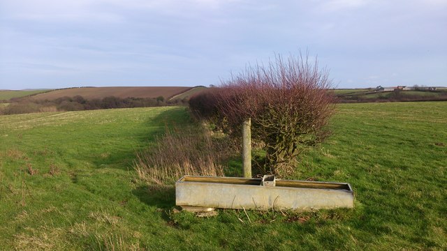
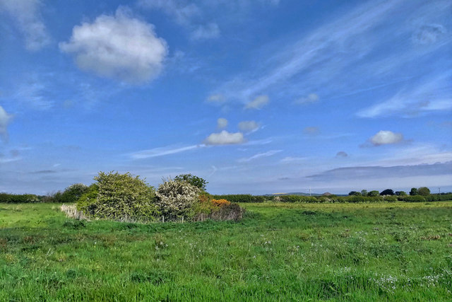
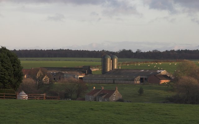
Alder Wood is a picturesque forest located in the region of Yorkshire, England. Spread across a vast area, it is known for its dense population of alder trees, which lend the wood its name. The forest is a popular destination for nature enthusiasts and hikers due to its tranquil ambiance and breathtaking scenery.

The alder trees in the wood are predominantly tall and slender, with smooth bark that ranges in color from light grey to dark brown. Their distinctively shaped leaves are elliptical and serrated, providing a lush green canopy during the summer months. The forest floor is covered with a thick carpet of moss and ferns, creating a magical atmosphere.

Alder Wood is home to a diverse array of wildlife, making it a haven for nature lovers. The forest provides a habitat for numerous bird species, including woodpeckers, owls, and various songbirds. Small mammals like squirrels and rabbits can also be spotted scurrying through the undergrowth.

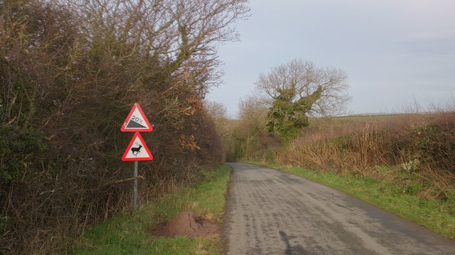
The wood offers several well-maintained walking trails that wind through its enchanting pathways. These trails cater to different skill levels, allowing both novice and experienced hikers to enjoy the beauty of the surroundings. Visitors can explore the wood's hidden gems, such as secluded ponds and babbling brooks, which add to the charm of the forest.

Alder Wood is not only a natural treasure but also an important ecological site. Its preservation is vital for maintaining biodiversity and providing a natural habitat for numerous species. With its serene atmosphere and stunning landscapes, Alder Wood is a must-visit destination for anyone seeking tranquility and a deep connection with nature.

If you have any feedback on the listing, please let us know in the comments section below.
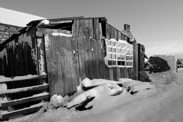
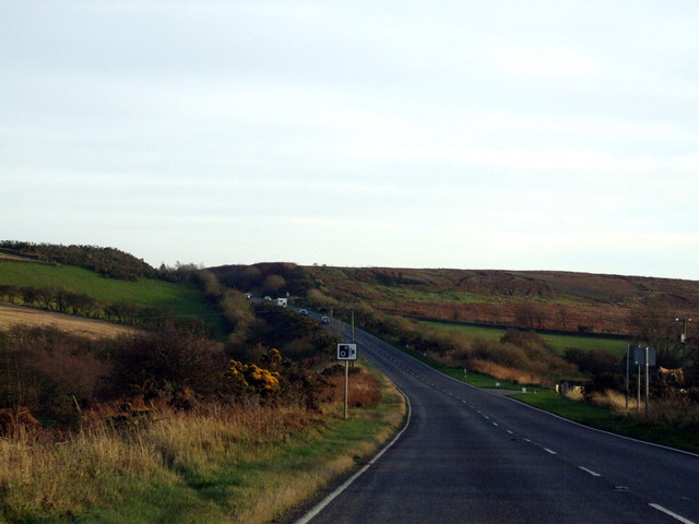
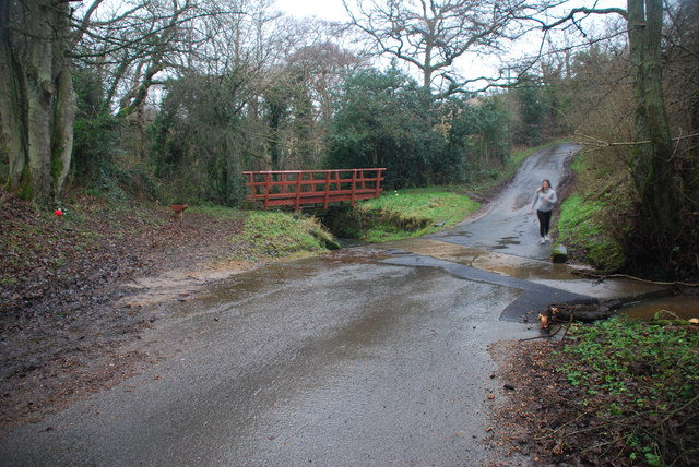
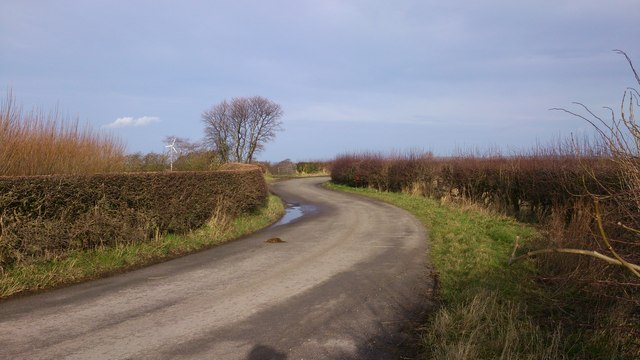
Alder Wood Images

Images are sourced within 2km of 54.518919/-0.9152068 or Grid Reference NZ7014. Thanks to Geograph Open Source API. All images are credited.

Fred's Shed, The Grange, Moorsholm Snow bound shed to the rear of The Grange, Moorsholm.
Fred's Shed, The Grange, Moorsholm
Snow bound shed to the rear of The Grange, Moorsholm.
A171 towards Whitby
A171 towards Whitby
Ford at Moorsholm This ford on the Swindale Beck is found on Swindale Lane on the road from Moorsholm to Swindale.
Ford at Moorsholm
This ford on the Swindale Beck is found on Swindale Lane on the road from Moorsholm to Swindale.
Round the bend Long Lane near Moorsholm.
Round the bend
Long Lane near Moorsholm.
Hedge & Trough Hawthorn hedge near to Elm Heads, just off Long Lane.
Hedge & Trough
Hawthorn hedge near to Elm Heads, just off Long Lane.
Warning Signs on Long Lane Long Lane descends into Stubdale via a fairly steep hill.
Warning Signs on Long Lane
Long Lane descends into Stubdale via a fairly steep hill.
Freebrough Framed Field Oaks frame Freebrough Hill.
Freebrough Framed
Field Oaks frame Freebrough Hill.
View from Cow Close Lane Looking SW to Freebrough Hill.
View from Cow Close Lane
Looking SW to Freebrough Hill.
On Freebrough Road looking to Freebrough Hill
Moorsholm Church Hall and village sign
Moorsholm Docks Right on the High Street of this delightful little village that just missed out on the ironstone mining activities of the rest of East Cleveland, is a row of six sunken sandstone water troughs that have become known as the Moorsholm Docks. Probably dating from the 19th-century they are fed by piped water from a spring on the moors. The name seems to be a bit of a mystery; some suggest it came about purely as a result of a ‘wag’.

From my blog <span class="nowrap"><a title="http://www.fhithich.uk/?p=20284" rel="nofollow ugc noopener" href="http://www.fhithich.uk/?p=20284">Link</a><img style="margin-left:2px;" alt="External link" title="External link - shift click to open in new window" src="https://s1.geograph.org.uk/img/external.png" width="10" height="10"/></span>
Moorsholm Docks
Right on the High Street of this delightful little village that just missed out on the ironstone mining activities of the rest of East Cleveland, is a row of six sunken sandstone water troughs that have become known as the Moorsholm Docks. Probably dating from the 19th-century they are fed by piped water from a spring on the moors. The name seems to be a bit of a mystery; some suggest it came about purely as a result of a ‘wag’. From my blog LinkExternal link
"Dismantled railway" The map says "Dismantled railway". But a railway has never been mantled here. It was a railway that never was. Various earthworks were done but no track was ever laid. It was The Cleveland Extension Mineral Railway or more locally known as Paddy Waddell's Railway. This cutting was one of the few earthworks that actually was constructed in the 1870s. The contractor for the line was John Waddell, a Scot from Edinburgh but he employed an Irish engineer named Gallaher to take charge of the work. Hence the name. The line was intended to link the Glaisdale ironstone mines with the North East Railway at Skelton and was beset with problems, politics and competition from other railway companies. Finally, after many false starts hopes were rekindled in 1896 but it was not to be. See also <a title="https://www.geograph.org.uk/stuff/list.php?title=Paddy+Waddell%27s+Railway&gridref=NZ7212" href="https://www.geograph.org.uk/stuff/list.php?title=Paddy+Waddell%27s+Railway&gridref=NZ7212">Link</a>
"Dismantled railway"
The map says "Dismantled railway". But a railway has never been mantled here. It was a railway that never was. Various earthworks were done but no track was ever laid. It was The Cleveland Extension Mineral Railway or more locally known as Paddy Waddell's Railway. This cutting was one of the few earthworks that actually was constructed in the 1870s. The contractor for the line was John Waddell, a Scot from Edinburgh but he employed an Irish engineer named Gallaher to take charge of the work. Hence the name. The line was intended to link the Glaisdale ironstone mines with the North East Railway at Skelton and was beset with problems, politics and competition from other railway companies. Finally, after many false starts hopes were rekindled in 1896 but it was not to be. See also Link
Stone Trod near Moorsholm Looking towards Moorsholm.
Stone Trod near Moorsholm
Looking towards Moorsholm.
Freeborough Hill Looking up at Freeborough Hill.
Freeborough Hill
Looking up at Freeborough Hill.
Lane off the High Street, Moorsholm
The Church Hall, Moorsholm
Stone Trod entering Moorsholm Stone trod entering Moorsholm.
Stone Trod entering Moorsholm
Stone trod entering Moorsholm.
Old Milestone, on the A171, nr Avons Farm Located on the East side of road, on verge. Cast iron post, NRYCC casting design, 19th century.    Alternative views see <a title="https://www.geograph.org.uk/photo/1899109" href="https://www.geograph.org.uk/photo/1899109">Link</a> & <a title="https://www.geograph.org.uk/photo/1899116" href="https://www.geograph.org.uk/photo/1899116">Link</a>
 
Inscription reads: WHITBY / 15 // GUISBOROUGH / 7 // NRYCC // F MATTISON & Co / BEDALE. YORKS//.   

Milestone Society National ID: YN_WYGU15
Old Milestone, on the A171, nr Avons Farm
Located on the East side of road, on verge. Cast iron post, NRYCC casting design, 19th century. Alternative views see Link & Link Inscription reads: WHITBY / 15 // GUISBOROUGH / 7 // NRYCC // F MATTISON & Co / BEDALE. YORKS//. Milestone Society National ID: YN_WYGU15
Show me another place!

Alder Wood is located at Grid Ref: NZ7014 (Lat: 54.518919, Lng: -0.9152068)

Division: North Riding

Unitary Authority: Redcar and Cleveland

Police Authority: Cleveland

What 3 Words

///commended.peachy.headers. Near Lingdale, North Yorkshire

Related Wikis

Pinkney and Gerrick Woods

Pinkney And Gerrick Woods (grid reference NZ708138) is a 62.7 hectare biological Site of Special Scientific Interest in North Yorkshire, England notified...

Moorsholm

Moorsholm is a village in the unitary authority of Redcar and Cleveland and the ceremonial county of North Yorkshire, England. The village lies 5 miles...

Liverton

Liverton is a village in the civil parish of Loftus, in the borough of Redcar and Cleveland and the ceremonial county of North Yorkshire, England.Liverton...

Handale Priory

Handale Priory (also called Grendale) was a priory of Cistercian nuns in Handale, North Yorkshire, England. It was founded in 1133 by William, son of Roger...

Ironstone mining in Cleveland and North Yorkshire

Ironstone mining in Cleveland and North Yorkshire occurred on a sizeable scale from the 1830s to the 1960s in present day eastern parts of North Yorkshire...

Handale

Handale is a hamlet, that is 2 miles (3 km) south of Loftus, in the borough of Redcar and Cleveland and the ceremonial county of North Yorkshire, England...

Lingdale

Lingdale is a village in the unitary authority of Redcar and Cleveland and the ceremonial county of North Yorkshire, England. The village was created with...

Woodsmith Mine Tunnel

The Woodsmith Mine Tunnel (also known as a Mineral Transport System [MTS]) is a 23-mile (37 km) long tunnel that will stretch between Woodsmith Mine at...

Have you been to Alder Wood?

Leave your review of Alder Wood below (or comments, questions and feedback).