South Copse

Wood, Forest in Hampshire East Hampshire

England

South Copse

Looking towards the summit of Butser Hill
Looking towards the summit of Butser Hill Credit: David Martin

South Copse is a picturesque woodland area located in Hampshire, England. Covering an extensive area of lush greenery, it is a popular destination for nature enthusiasts, hikers, and locals seeking tranquility away from the hustle and bustle of urban life.

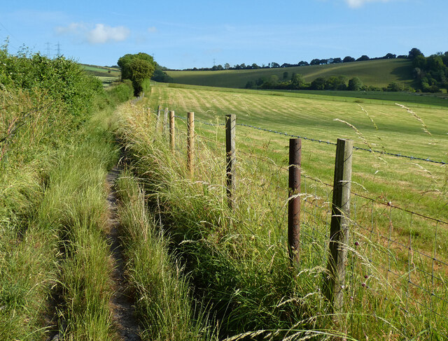
The copse is characterized by its dense and diverse vegetation, comprising a mixture of deciduous and evergreen trees such as oak, beech, birch, and pine. These trees provide ample shade and create a soothing atmosphere, making it a delightful spot for leisurely walks or picnics. The forest floor is adorned with a vibrant carpet of wildflowers, ferns, and mosses, adding to the enchanting ambience.

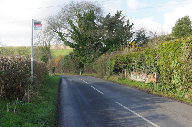
Several well-maintained footpaths crisscross through the copse, allowing visitors to explore its natural wonders at their own pace. Along these trails, one may stumble upon a variety of wildlife, including squirrels, badgers, rabbits, and an array of bird species. The chirping of birds and the rustling of leaves create a symphony of sounds that further enhance the sensory experience.

South Copse also boasts a small stream that meanders through its heart, adding a touch of serenity to the already idyllic setting. This water source not only nourishes the vegetation but also attracts various aquatic creatures, such as frogs and dragonflies.

The copse is well-maintained by local authorities, ensuring that its natural beauty remains intact. Visitors can enjoy the copse all year round, with each season presenting a unique spectacle. In spring, vibrant blossoms adorn the trees, while autumn paints the copse with warm hues of red, orange, and gold.

Overall, South Copse is a captivating woodland retreat that offers a rejuvenating experience for all who venture into its peaceful embrace.

If you have any feedback on the listing, please let us know in the comments section below.
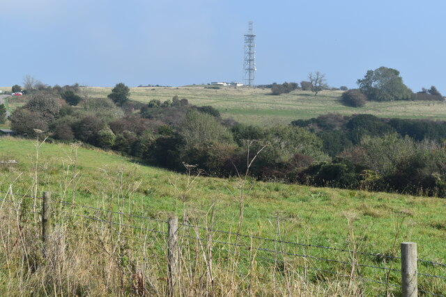
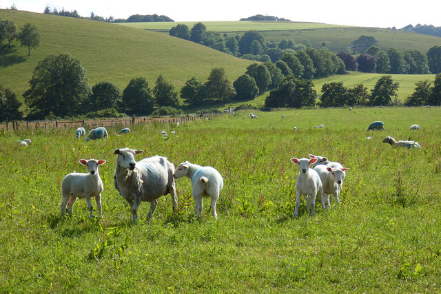
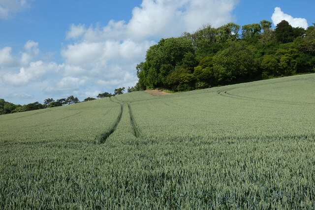
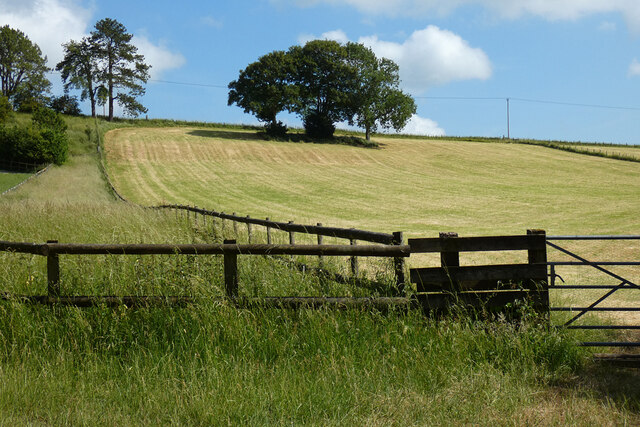
South Copse Images

Images are sourced within 2km of 50.987794/-1.0002244 or Grid Reference SU7021. Thanks to Geograph Open Source API. All images are credited.

Looking towards the summit of Butser Hill
Pasture, East Meon Ewes and lambs close to the foot of the scarp above Stonylands Farm.
Pasture, East Meon
Ewes and lambs close to the foot of the scarp above Stonylands Farm.
Bridleway 10 ascends Sir William's Hill
Spraying fertilizer On a field below Rookham Copse.
Spraying fertilizer
On a field below Rookham Copse.
Farmland, East Meon Wheat on the western side of Barrow Hill.
Farmland, East Meon
Wheat on the western side of Barrow Hill.
Farmland, East Meon A mown field on the western flank of Browning's Hill.
Farmland, East Meon
A mown field on the western flank of Browning's Hill.
Byway and pasture, East Meon I don't think there is anything in place to prohibit motorised vehicles, but clearly nothing larger than a motorbike attempts the climb onto the scarp using this route.
Byway and pasture, East Meon
I don't think there is anything in place to prohibit motorised vehicles, but clearly nothing larger than a motorbike attempts the climb onto the scarp using this route.
Farm buildings at Lower Farm
2016: a year on Geograph (Day 144) Tanker in a layby by the boundary sign to the south of East Meon
2016: a year on Geograph (Day 144)
Tanker in a layby by the boundary sign to the south of East Meon
Approaching East Meon Looking towards East Meon village on the road from Clanfield; a cyclist heads in the opposite direction.
Approaching East Meon
Looking towards East Meon village on the road from Clanfield; a cyclist heads in the opposite direction.
Lane east of Frogmore The 'byway open to all traffic' leading off to the left has a sign banning cars. This really just as well, the track is barely passable on foot.
Lane east of Frogmore
The 'byway open to all traffic' leading off to the left has a sign banning cars. This really just as well, the track is barely passable on foot.
Road east of East Meon Looking towards East Meon on the road from Langrish. Unusually for a rural road, bus stop flags are provided throughout, although this one covers both directions.
Road east of East Meon
Looking towards East Meon on the road from Langrish. Unusually for a rural road, bus stop flags are provided throughout, although this one covers both directions.
Gravel Lane, East Meon This is officially designated a 'byway open to all traffic' although currently there is a traffic regulation order restricting its use by 4-wheeled vehicles. In practice it is really only suitable for walkers and then only with some difficulty.
Gravel Lane, East Meon
This is officially designated a 'byway open to all traffic' although currently there is a traffic regulation order restricting its use by 4-wheeled vehicles. In practice it is really only suitable for walkers and then only with some difficulty.
Byway Open to All Traffic The byway leads to Frogmore but, as this notice makes clear, four-wheeled vehicles are currently restricted from using it. In fact, it is only really passable on foot and how a horse and two-wheeled cart would get on is anybody's guess - see <a href="https://www.geograph.org.uk/photo/5615190">SU6822 : Gravel Lane, East Meon</a>
Byway Open to All Traffic
The byway leads to Frogmore but, as this notice makes clear, four-wheeled vehicles are currently restricted from using it. In fact, it is only really passable on foot and how a horse and two-wheeled cart would get on is anybody's guess - see SU6822 : Gravel Lane, East Meon
Signpost east of East Meon The old fingerpost giving directions to various local destinations could do with a repaint. The cycle route sign seems very new and fresh, however.
Signpost east of East Meon
The old fingerpost giving directions to various local destinations could do with a repaint. The cycle route sign seems very new and fresh, however.
Frogmore Frogmore is a hamlet slightly further up the Meon valley than East Meon. As well as a mill it has a number of cottages originally built to house mill and farm workers.
Frogmore
Frogmore is a hamlet slightly further up the Meon valley than East Meon. As well as a mill it has a number of cottages originally built to house mill and farm workers.
Road to Langrish
Road to Langrish
Old Direction Sign - Signpost by Oxenbourne Lane, East Meon Parish Annulus finial - 3 Worboys arms; Hampshire Parish halo by the UC road, in parish of East Meon (East Hampshire District), near Oxenbourne House, at T-junction.

To be surveyed

Milestone Society National ID: HA_SU6921
Old Direction Sign - Signpost by Oxenbourne Lane, East Meon Parish
Annulus finial - 3 Worboys arms; Hampshire Parish halo by the UC road, in parish of East Meon (East Hampshire District), near Oxenbourne House, at T-junction. To be surveyed Milestone Society National ID: HA_SU6921
Show me another place!

South Copse is located at Grid Ref: SU7021 (Lat: 50.987794, Lng: -1.0002244)

Administrative County: Hampshire

District: East Hampshire

Police Authority: Hampshire

What 3 Words

///melt.without.gong. Near Petersfield, Hampshire

Related Wikis

Ramsdean

Ramsdean is a village in the East Hampshire district of Hampshire, England. It is 2.7 miles (4.3 km) west of Petersfield. The nearest railway station is...

Great storm of 1703

The Great storm of 1703 was a destructive extratropical cyclone that struck central and southern England on 26 November 1703. High winds caused 2,000 chimney...

East Hampshire (UK Parliament constituency)

East Hampshire is a constituency represented in the House of Commons of the UK Parliament since 2010 by Damian Hinds of the Conservative Party. Further...

Pidham Hill

Pidham Hill is a hill in the county of Hampshire, England. The summit elevation is 699 feet (213 m) AMSL. Pidham Hill is about 2 kilometres east-northeast...

Nearby Amenities

Located within 500m of 50.987794,-1.0002244
Post Box
Ref: GU32 117
Lat/Long: 50.9893485/-1.003596
Barrier: kissing_gate
Lat/Long: 50.9856831/-0.995031
The data included in this document is from www.openstreetmap.org. The data is made available under ODbL.

Have you been to South Copse?

Leave your review of South Copse below (or comments, questions and feedback).