Beech Wood
Wood, Forest in Hampshire Havant
England
Beech Wood
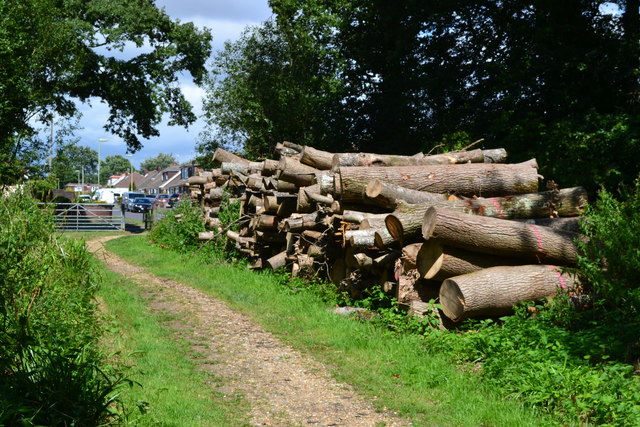
Beech Wood is a picturesque forest located in Hampshire, England. Covering an area of approximately 300 hectares, it is a prominent natural attraction in the region. The wood is characterized by its dense and thriving beech tree population, which lends it its name and unique charm.
The forest boasts a diverse range of flora and fauna, attracting nature enthusiasts and hikers alike. The towering beech trees create a dense canopy, providing a cool and shaded environment even on the hottest summer days. The forest floor is adorned with a rich carpet of bluebells and wildflowers during the spring season, creating a stunning visual spectacle.
Beech Wood offers a variety of well-maintained walking trails, making it an ideal destination for outdoor recreation. Visitors can choose from short leisurely walks to longer hikes, catering to different fitness levels and preferences. The trails wind through the forest, allowing visitors to immerse themselves in the beauty of nature and discover hidden pockets of tranquility.
Wildlife enthusiasts will be delighted to spot various bird species, including woodpeckers, nuthatches, and tawny owls. The forest is also home to an array of mammals, such as deer, rabbits, and squirrels, adding to the biodiversity of the area.
The wood is easily accessible, with ample parking facilities and well-marked entrances. It is a popular destination for families, couples, and individuals seeking solace in nature. The serene atmosphere, coupled with the breathtaking beauty of the forest, makes Beech Wood a must-visit destination in Hampshire.
If you have any feedback on the listing, please let us know in the comments section below.
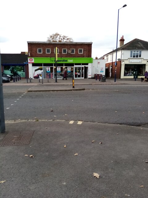
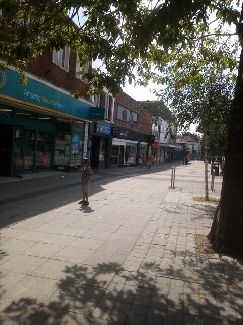
Beech Wood Images
Images are sourced within 2km of 50.880013/-1.0112741 or Grid Reference SU6909. Thanks to Geograph Open Source API. All images are credited.


Beech Wood is located at Grid Ref: SU6909 (Lat: 50.880013, Lng: -1.0112741)
Administrative County: Hampshire
District: Havant
Police Authority: Hampshire
What 3 Words
///truly.island.help. Near Waterlooville, Hampshire
Nearby Locations
Related Wikis
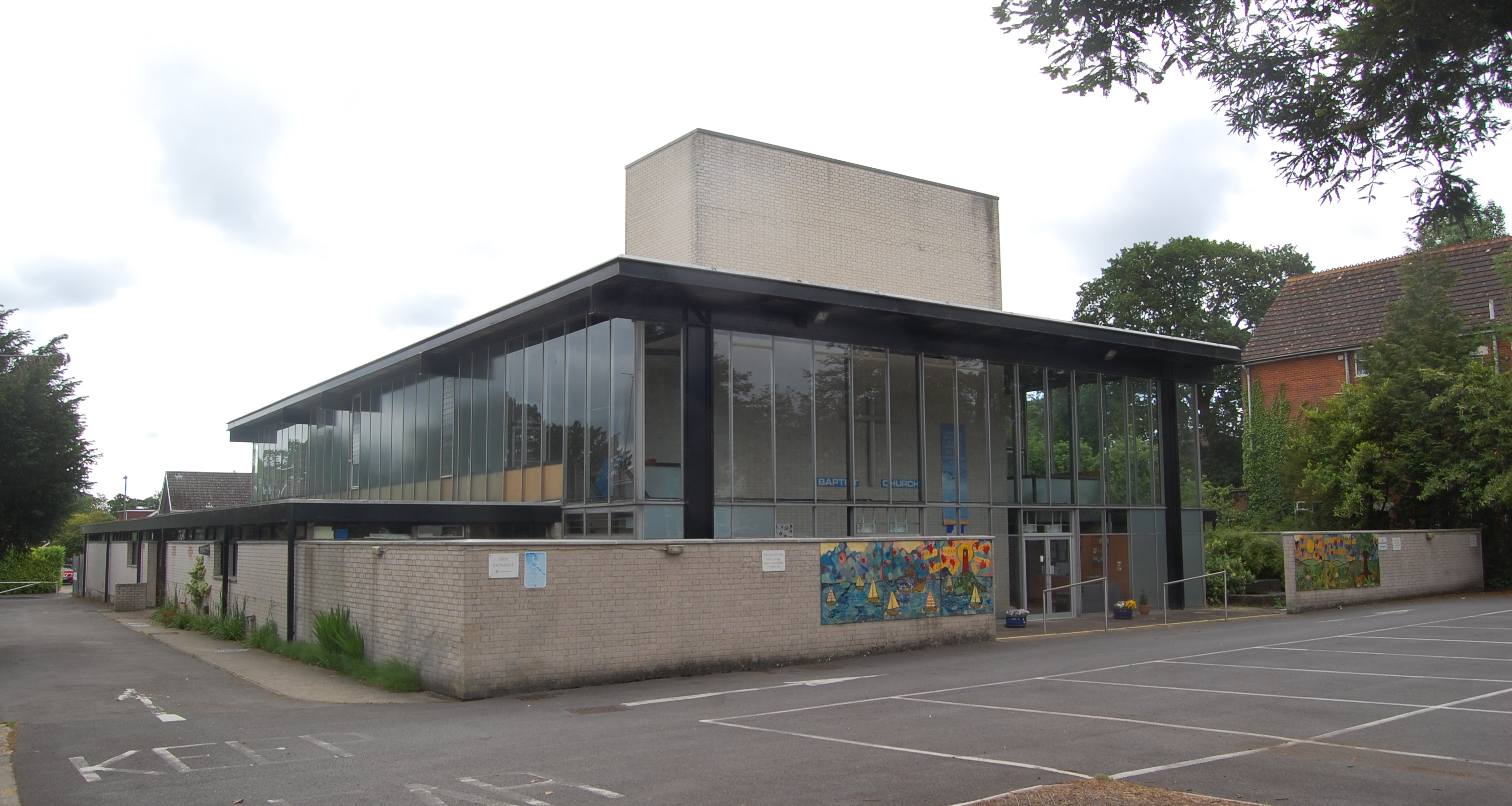
Waterlooville Baptist Church
Waterlooville Baptist Church is a Baptist church in Waterlooville and surrounding suburban areas in the borough of Havant in Hampshire, southeast England...

Waterlooville
Waterlooville is a town in the Borough of Havant in Hampshire, England, approximately 6 miles (9.7 km) north northeast of Portsmouth. It is the largest...

Park Community School
Park Community School is a coeducational community secondary school, located in the Leigh Park area of Havant in the English county of Hampshire.It is...
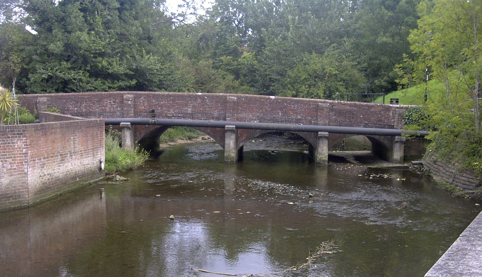
River Wallington
The River Wallington curves and gently meanders west then south in south-east Hampshire. Rising at sources to north and south of Waterlooville these flow...
Oaklands Catholic School
Oaklands Roman Catholic Comprehensive School and Sixth Form College is a co-educational secondary school and sixth form college with academy status located...

The Cowplain School
The Cowplain School (formerly Cowplain Community School, and Cowplain Comprehensive school) is a coeducational secondary school located in Cowplain, Hampshire...
Crookhorn College
Crookhorn College is a coeducational foundation secondary school, located in Waterlooville in the English county of Hampshire.It is administered by Hampshire...
Wecock Farm
Wecock Farm is a 1970s council estate on the western edges of Waterlooville originally built by Portsmouth City Council. Its lineage can be traced back...
Nearby Amenities
Located within 500m of 50.880013,-1.0112741Have you been to Beech Wood?
Leave your review of Beech Wood below (or comments, questions and feedback).