Dale's Wood
Wood, Forest in Nottinghamshire Newark and Sherwood
England
Dale's Wood
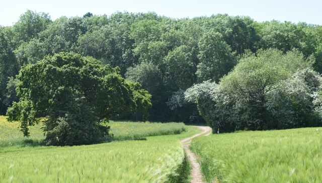
Dale's Wood is a beautiful forest located in the heart of Nottinghamshire, England. With an area covering approximately 100 acres, this woodland is a haven for nature enthusiasts and outdoor adventurers alike.
The forest is characterized by its dense canopy of towering trees, predominantly consisting of oak, birch, and ash. The lush undergrowth beneath the canopy is a vibrant mix of ferns, wildflowers, and moss, creating a captivating and picturesque landscape. A network of well-maintained trails winds through the woods, providing visitors with the opportunity to explore and immerse themselves in the tranquil surroundings.
Dale's Wood is home to a diverse range of wildlife, making it a prime spot for birdwatching and animal spotting. Bird species such as woodpeckers, owls, and warblers can often be heard and seen among the branches, while rabbits, foxes, and squirrels can be spotted darting through the underbrush. The forest also boasts a small pond, attracting various amphibians and insects.
The wood is not only a natural wonderland but also a historically significant site. It is said to have been named after a local landowner, Dale, who once owned the land. In the past, the forest was extensively used for timber production, contributing to the local economy.
Today, Dale's Wood is managed by the Nottinghamshire County Council, which ensures the preservation and maintenance of the woodland. It serves as a popular recreational area for locals and visitors alike, offering an escape from the hustle and bustle of everyday life. Whether it's hiking, birdwatching, or simply enjoying a peaceful picnic surrounded by nature, Dale's Wood provides a serene and enchanting experience for all who visit.
If you have any feedback on the listing, please let us know in the comments section below.
Dale's Wood Images
Images are sourced within 2km of 53.116722/-0.96102639 or Grid Reference SK6958. Thanks to Geograph Open Source API. All images are credited.


Dale's Wood is located at Grid Ref: SK6958 (Lat: 53.116722, Lng: -0.96102639)
Administrative County: Nottinghamshire
District: Newark and Sherwood
Police Authority: Nottinghamshire
What 3 Words
///donor.rift.magnitude. Near Southwell, Nottinghamshire
Nearby Locations
Related Wikis
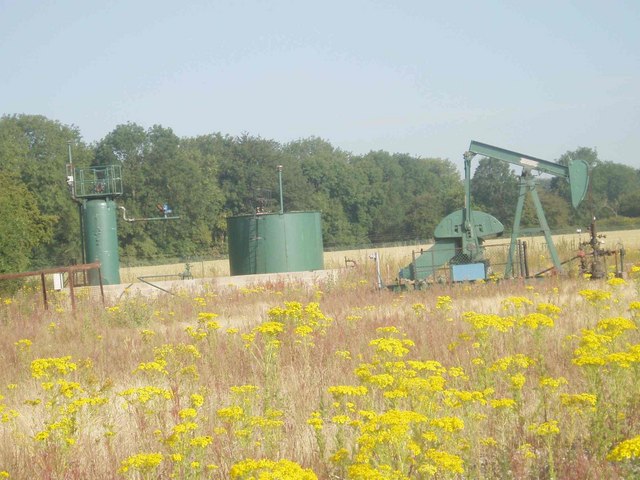
Kirklington Hall Research Station
Kirklington Hall Research Station was a geophysical research institute of BP in Kirklington, Nottinghamshire. During the 1950s it was the main research...

Winkburn
Winkburn is a small village and civil parish in the Newark and Sherwood district, in Nottinghamshire, England. It is located north-west of Southwell and...
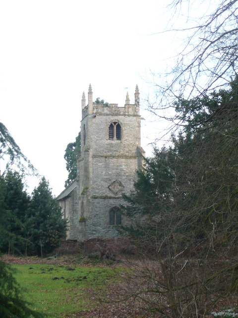
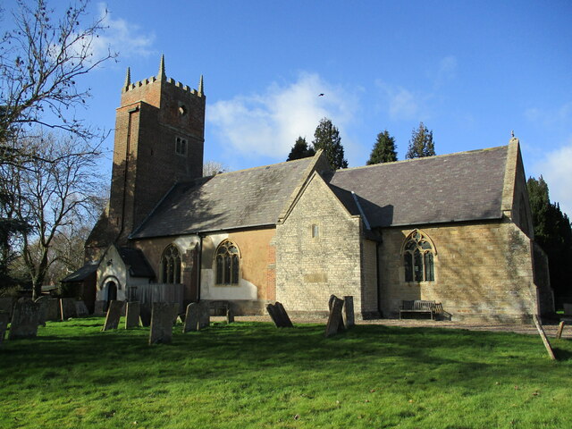
St John of Jerusalem's Church, Winkburn
St John of Jerusalem's Church, Winkburn is a Grade I listed parish church in the Church of England in Winkburn. == History == The church was built in the...

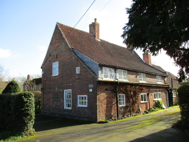
Winkburn Hall
Winkburn Hall is a Grade I listed country house which stands at the corner of an estate a few miles north-east of Southwell, Nottinghamshire, off the Hockerton...

Kirklington, Nottinghamshire
Kirklington is a village and civil parish in the Newark and Sherwood district of Nottinghamshire, England. The population as of the 2011 census was 400...
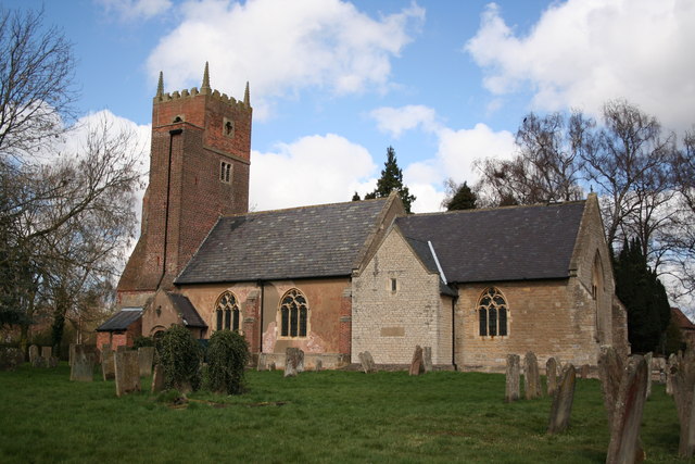
St Swithun's Church, Kirklington
St Swithin's Church, Kirklington, is a Grade II* listed parish church in the Church of England in Kirklington, Nottinghamshire, England. == History... ==

Southwell Rural District
Southwell was a rural district in Nottinghamshire, England from 1894 to 1974. It was created by the Local Government Act 1894 as a successor to the Southwell...
Newark and Sherwood
Newark and Sherwood is a local government district in Nottinghamshire, England. It is the largest district by area in the county. The council is based...
Nearby Amenities
Located within 500m of 53.116722,-0.96102639Have you been to Dale's Wood?
Leave your review of Dale's Wood below (or comments, questions and feedback).