Carlton Clump
Wood, Forest in Leicestershire Harborough
England
Carlton Clump

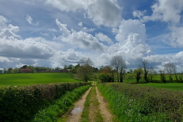
Carlton Clump, located in Leicestershire, is a small wooded area known for its picturesque landscapes and dense forest cover. Situated in the heart of the county, it offers visitors a serene and tranquil environment, perfect for nature lovers and outdoor enthusiasts.
Covering an area of approximately 100 hectares, Carlton Clump is home to a diverse range of tree species, including oak, beech, and birch, creating a stunning tapestry of colors during autumn. The forest floor is also rich in flora, with bluebells, primroses, and wild garlic painting the landscape with vibrant hues in the spring.
The woodland is crisscrossed by a network of footpaths and trails, providing ample opportunities for hiking, walking, and horse riding. These paths lead visitors through the heart of the forest, allowing them to immerse themselves in nature and discover the hidden gems within.
Wildlife thrives within the boundaries of Carlton Clump, with an abundance of species calling this forest home. Squirrels, foxes, and deer can often be spotted among the trees, while birdwatchers can enjoy the sight of various avian species, including woodpeckers, owls, and jays.
For those seeking a peaceful retreat, Carlton Clump offers several picnic areas and benches scattered throughout the woodland, providing the perfect spot to relax and enjoy a meal surrounded by nature’s beauty.
Overall, Carlton Clump, Leicestershire, is a delightful destination for nature enthusiasts, offering a peaceful haven where visitors can connect with the natural world and enjoy the tranquility of a thriving woodland ecosystem.
If you have any feedback on the listing, please let us know in the comments section below.
Carlton Clump Images
Images are sourced within 2km of 52.553986/-0.97544295 or Grid Reference SP6995. Thanks to Geograph Open Source API. All images are credited.


Carlton Clump is located at Grid Ref: SP6995 (Lat: 52.553986, Lng: -0.97544295)
Administrative County: Leicestershire
District: Harborough
Police Authority: Leicestershire
What 3 Words
///narrowest.cashier.plausible. Near Kibworth Harcourt, Leicestershire
Nearby Locations
Related Wikis
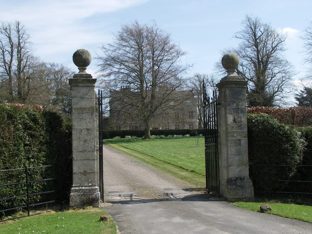
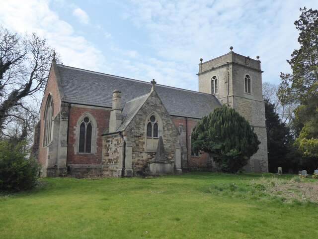
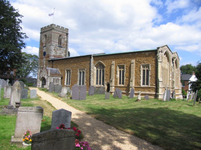
Carlton Curlieu Hall
Carlton Curlieu Hall is a privately owned 17th-century country house at Carlton Curlieu, Leicestershire. It is the home of the Palmer family and is a Grade...

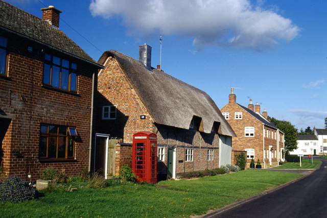
Carlton Curlieu
Carlton Curlieu is a small village and civil parish in the Harborough district of Leicestershire, about eleven miles south-east of Leicester city centre...
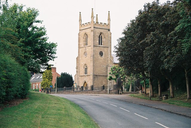
Tur Langton
Tur Langton (derived from the Anglo-Saxon word for an enclosure, meaning "long town") is a small village and civil parish in the Harborough district, in...
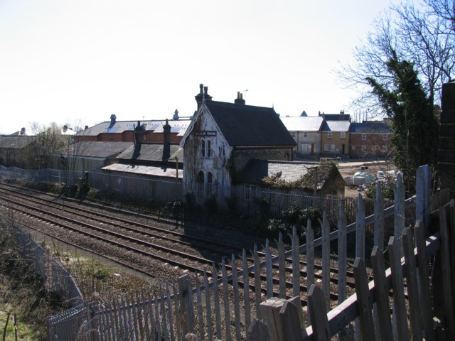
Kibworth railway station
Kibworth railway station was opened by the Midland Railway in 1857 on what is now the Midland Main Line. == History == Plans had been made earlier in 1847...
Burton Overy
Burton Overy is a village and civil parish in the Harborough district of Leicestershire, about nine miles south-east of Leicester city centre, and not...
Kibworth
Kibworth is an area of the Harborough district of Leicestershire, England, that contains two civil parishes: the villages of Kibworth Beauchamp and Kibworth...

Shangton
Shangton is a parish and small village near Tur Langton in Leicestershire, England, and part of Harborough district. == External links == Media related...

Kibworth Cricket Club New Ground
Kibworth Cricket Club New Ground is a cricket ground in Kibworth, Leicestershire, England. The ground replaced the original Kibworth Cricket Club Ground...
Have you been to Carlton Clump?
Leave your review of Carlton Clump below (or comments, questions and feedback).