Bilney, East
Settlement in Norfolk Breckland
England
Bilney, East

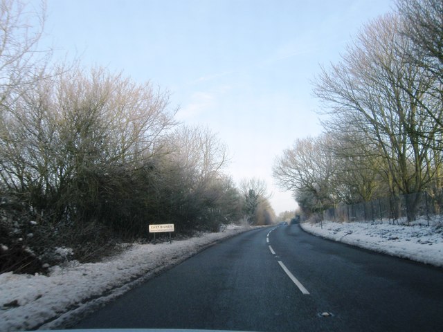
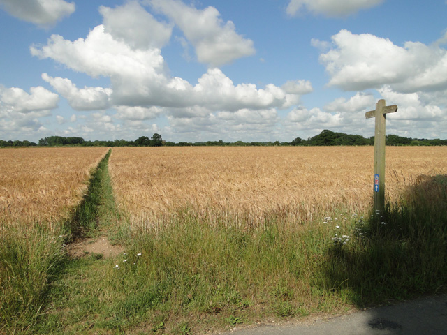
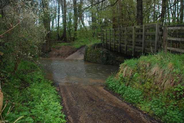
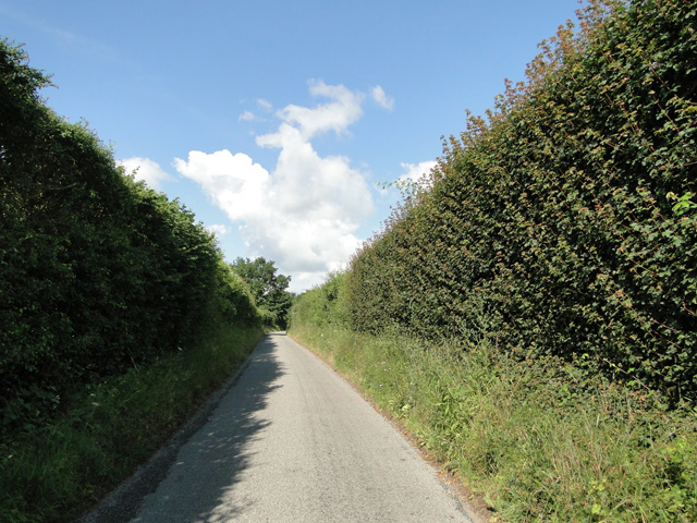
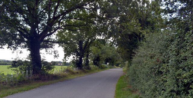
Bilney is a small village located in the East of Norfolk, England. Situated approximately 15 miles west of the city of Norwich, Bilney is nestled in the picturesque countryside, surrounded by lush green fields, meandering rivers, and charming woodlands.
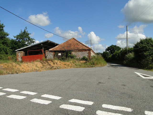
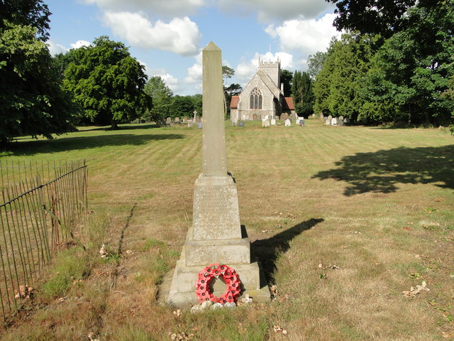
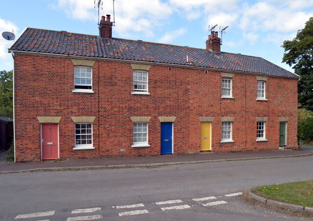
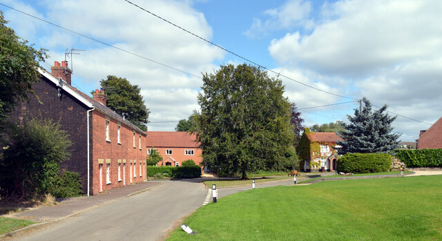
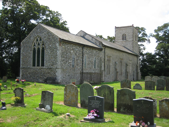
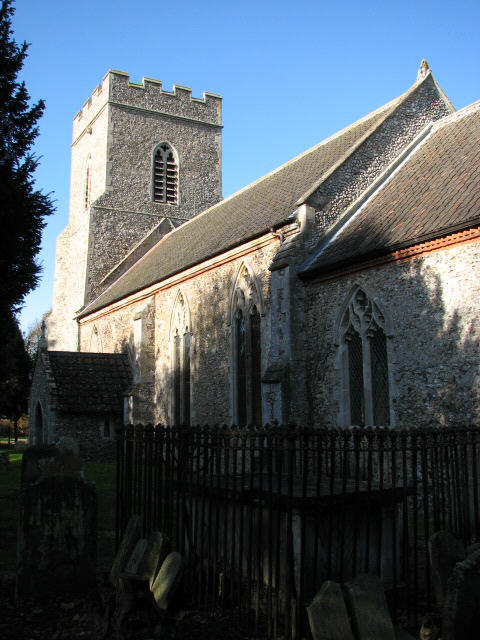
The village itself is quite small, with a population of around 200 residents. It exudes a sense of tranquility and rural charm, with its traditional thatched-roof cottages and well-maintained gardens. The local church, St. Peter's, is a prominent landmark in the village, dating back to the 14th century and showcasing beautiful architectural features.
Despite its small size, Bilney boasts a strong sense of community spirit. The village hall serves as a focal point for various activities and events, including social gatherings, clubs, and meetings. Residents can also enjoy the nearby recreational areas, such as Bilney Woods and the River Nar, which offer opportunities for walking, picnicking, and wildlife observation.
While Bilney is predominantly residential, there are limited amenities within the village itself. However, nearby towns and villages provide essential services, including shops, schools, healthcare facilities, and transportation links. The village's rural location is ideal for those seeking a peaceful lifestyle away from the hustle and bustle of urban centers, while still being within easy reach of necessary amenities.
Overall, Bilney is a charming and idyllic village, offering a close-knit community, stunning natural surroundings, and a tranquil way of life.
If you have any feedback on the listing, please let us know in the comments section below.
Bilney, East Images
Images are sourced within 2km of 52.735569/0.891343 or Grid Reference TF9519. Thanks to Geograph Open Source API. All images are credited.

![Milestone on B1145 [Kings]Lynn 20 miles, Norwich 21 miles. See <a title="https://www.geograph.org.uk/photo/4127821" href="https://www.geograph.org.uk/photo/4127821">Link</a> for a detailed view.](https://s1.geograph.org.uk/geophotos/04/12/78/4127817_4520677f.jpg)


Bilney, East is located at Grid Ref: TF9519 (Lat: 52.735569, Lng: 0.891343)
Administrative County: Norfolk
District: Breckland
Police Authority: Norfolk
What 3 Words
///singers.disengage.shorten. Near North Elmham, Norfolk
Nearby Locations
Related Wikis

East Bilney
East Bilney is a village and former civil parish, now in the parish of Beetley, in the Breckland district, in the county of Norfolk, England. East Bilney...

Panford Beck
Panford Beck is a minor watercourse that is entirely in the county of Norfolk, eastern England. This small short beck rises within the Parish of North...
Stanfield, Norfolk
Stanfield (English: ) is a civil parish in the English county of Norfolk. It covers an area of 3.80 km2 (1.47 sq mi) and had a population of 162 in 2011...
Bittering, Norfolk
Bittering is a hamlet in the county of Norfolk, England, now in the civil parish of Beeston with Bittering. It lies west of East Dereham and south of Fakenham...

Brisley
Brisley is a village in the English county of Norfolk located about halfway between Fakenham and East Dereham. It covers an area of 4.90 km2 (1.89 sq mi...
Beetley
Beetley is a village and civil parish in the Breckland district of Norfolk, England. According to the 2011 census the parish had a population of 1,396...

Spong Hill
Spong Hill is an Anglo-Saxon cemetery site located south of North Elmham in Norfolk, England. It is the largest known Early Anglo-Saxon cremation site...

Horse Wood, Mileham
Horse Wood, Mileham is a 7.1-hectare (18-acre) biological Site of Special Scientific Interest north-west of Dereham in Norfolk.This is an ancient coppice...
Nearby Amenities
Located within 500m of 52.735569,0.891343Have you been to Bilney, East?
Leave your review of Bilney, East below (or comments, questions and feedback).