Copse Wood

Wood, Forest in Oxfordshire South Oxfordshire

England

Copse Wood

A4130 at Nuffield village boundary
A4130 at Nuffield village boundary Credit: Colin Pyle

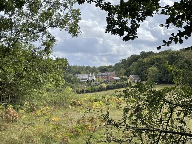
Copse Wood is a picturesque woodland area located in Oxfordshire, England. Situated on the outskirts of the village of Oxford, it covers an expansive area of approximately 100 acres. The wood is known for its diverse range of trees, including oak, beech, and birch, which provide a rich habitat for various wildlife species.

The woodland is made up of a mixture of ancient and newer plantations, creating a unique blend of natural beauty. Walking through Copse Wood, visitors are greeted with a tranquil atmosphere and a sense of serenity, making it a popular destination for nature enthusiasts and those seeking a peaceful retreat.

The wood boasts a network of well-maintained footpaths and trails, allowing visitors to explore its depths and discover its hidden treasures. Along the pathways, one can find an abundance of wildflowers, such as bluebells, primroses, and foxgloves, which add bursts of color to the woodland floor during the spring and summer months.

The wildlife in Copse Wood is diverse and abundant, with sightings of deer, squirrels, and various bird species being common. The wood provides a crucial habitat for these creatures, offering shelter and food sources throughout the year.

Copse Wood is not only a haven for wildlife but also a place of historical significance. It is believed to have been part of the larger Royal Forest of Oxfordshire, which was used for hunting by the royal family in medieval times.

Overall, Copse Wood is a beautiful and ecologically important woodland, offering visitors a chance to connect with nature and immerse themselves in the tranquility of Oxfordshire's countryside.

If you have any feedback on the listing, please let us know in the comments section below.
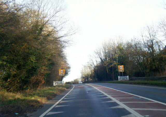
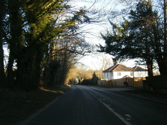
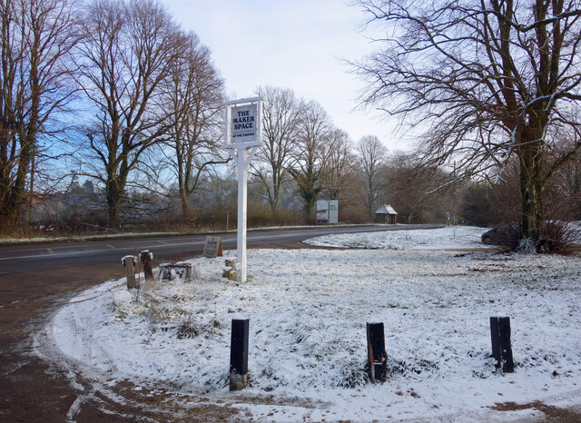
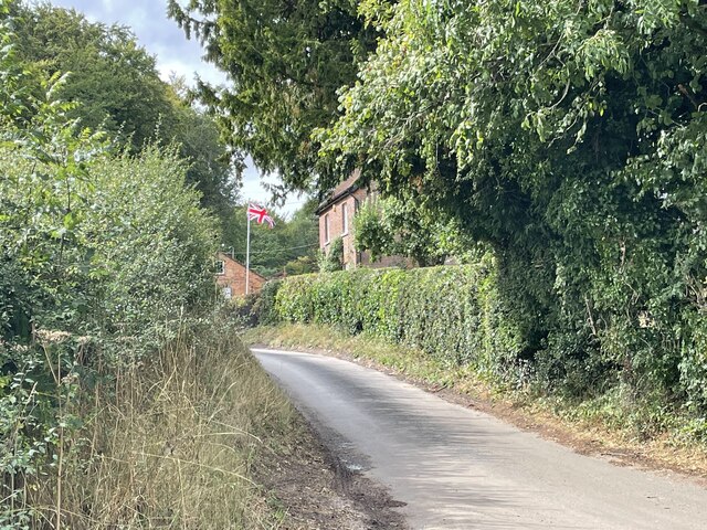
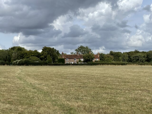
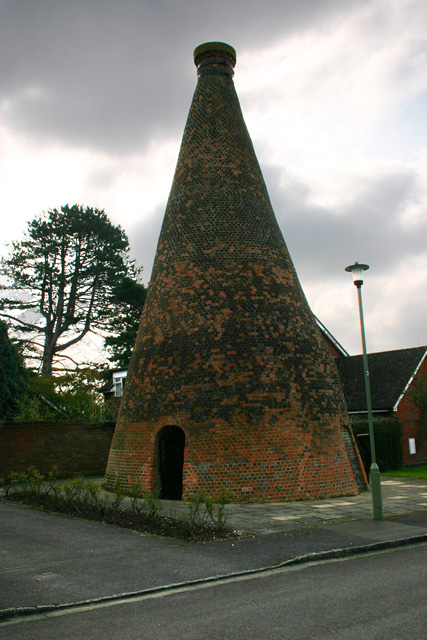
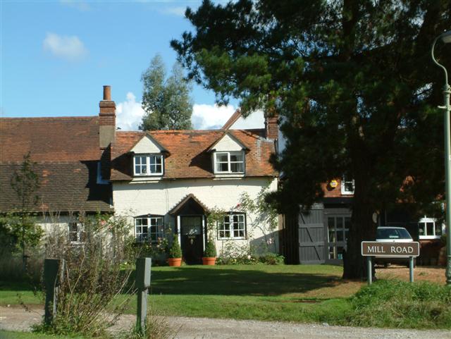
Copse Wood Images

Images are sourced within 2km of 51.584676/-1.0008362 or Grid Reference SU6987. Thanks to Geograph Open Source API. All images are credited.

A4130 at Nuffield village boundary
A4130 at Port Hill
A4130 at Port Hill
Light Snow at The Maker Space The Crown at Nuffield was a lovely traditional pub in the Brakspears of Henley estate, but like so many country pubs these days couldn't keep going. It was closed for a long time <a href="https://www.geograph.org.uk/photo/5583827">SU6787 : The Crown closed inn beside the A4130</a> but happily is now open again as The Maker Space (at The Crown) aiming more at the coffee, cake and light meals market, and also as a craft centre.
Light Snow at The Maker Space
The Crown at Nuffield was a lovely traditional pub in the Brakspears of Henley estate, but like so many country pubs these days couldn't keep going. It was closed for a long time SU6787 : The Crown closed inn beside the A4130 but happily is now open again as The Maker Space (at The Crown) aiming more at the coffee, cake and light meals market, and also as a craft centre.
Cottages on the edge of Nettlebed Common This group of cottages sit facing the northern edge of Nettlebed Common but within the parish of Swyncombe.
Cottages on the edge of Nettlebed Common
This group of cottages sit facing the northern edge of Nettlebed Common but within the parish of Swyncombe.
Digberry Farm, Huntercombe Lane The farm sits within a large square earthwork of unknown age measuring 200 metres across.
Digberry Farm, Huntercombe Lane
The farm sits within a large square earthwork of unknown age measuring 200 metres across.
Cottages at Park Corner Looking north along the footpath from Huntercombe End.
Cottages at Park Corner
Looking north along the footpath from Huntercombe End.
Nettlebed Kiln Centre of a mediaeval brick-making industry, this kiln is the last remaining vestige of the village's greatness.
Nettlebed Kiln
Centre of a mediaeval brick-making industry, this kiln is the last remaining vestige of the village's greatness.
Cottages in Mill Road Cottages in Mill Road, the road to Windmill Hill.
Cottages in Mill Road
Cottages in Mill Road, the road to Windmill Hill.
Westwood Manor Farm near Nettlebed
Soundess Farm near Nettlebed
In the valley below Maidensgrove
Looking south from near Westwood Manor Farm
Looking out of Kitesgrove Wood
Near Soundess Farm
Near Soundess Farm
Bridleway  near Westwood Manor Farm This is the upper part of Bix Bottom, a long steep-sided Chiltern valley rising from Assendon.
Bridleway near Westwood Manor Farm
This is the upper part of Bix Bottom, a long steep-sided Chiltern valley rising from Assendon.
House at Crocker End Crocker End is an accessible yet remote village.  Only about five miles from Henley and half a mile from a main road yet in the middle of the country.  Therefore there are some grand houses each discreetly separate and distinct from their neighbours.
House at Crocker End
Crocker End is an accessible yet remote village. Only about five miles from Henley and half a mile from a main road yet in the middle of the country. Therefore there are some grand houses each discreetly separate and distinct from their neighbours.
Hillside near Westwood Manor Farm A frosty  morning in the upper part of the valley of Bix Bottom.
Hillside near Westwood Manor Farm
A frosty morning in the upper part of the valley of Bix Bottom.
Restricted byway near Westwood Manor Farm Looking towards the farm from the junction of the byway with a bridleway and footpaths to the east of the farm.
Restricted byway near Westwood Manor Farm
Looking towards the farm from the junction of the byway with a bridleway and footpaths to the east of the farm.
Show me another place!

Copse Wood is located at Grid Ref: SU6987 (Lat: 51.584676, Lng: -1.0008362)

Administrative County: Oxfordshire

District: South Oxfordshire

Police Authority: Thames Valley

What 3 Words

///scorching.lemmings.static. Near Rotherfield Peppard, Oxfordshire

Nearby Locations

Copse Wood Priest's Hill

Related Wikis

Nettlebed

Nettlebed is a village and civil parish in Oxfordshire in the Chiltern Hills about 4+1⁄2 miles (7 km) northwest of Henley-on-Thames and 6 miles (10 km...

Berrick Trench

Berrick Trench is a 2.1-hectare (5.2-acre) biological Site of Special Scientific Interest north of Nettlebed in Oxfordshire.This is an ancient semi-natural...

HM Prison Huntercombe

HM Prison Huntercombe is a Category C men's prison, located near Nuffield in Oxfordshire, England. It is operated by His Majesty's Prison Service. ��2...

Nuffield Place

Nuffield Place is a country house near the village of Nuffield in the Chiltern Hills in South Oxfordshire, England, just over 4 miles (6 km) east of Wallingford...

Crocker End House

Crocker End House in Nettlebed in Henley-on-Thames, Oxfordshire, England is a spacious Victorian home built to replace Nettlebed's prosperous rectory in...

Henley Rural District

Henley was a rural district in Oxfordshire, England from 1894 to 1974.It was named after the borough of Henley-on-Thames, which it surrounded on the west...

Bix Bottom

Bix Bottom is a 102.3-hectare (253-acre) biological Site of Special Scientific Interest north-west of Henley-on-Thames in Oxfordshire. It is owned and...

Nuffield, Oxfordshire

Nuffield is a village and civil parish in the Chiltern Hills in South Oxfordshire, England, just over 4 miles (6 km) east of Wallingford. The 2011 Census...

Nearby Amenities

Located within 500m of 51.584676,-1.0008362
Created By: osmeditor2
Lat/Long: 51.5881717/-1.0024367
Created By: osmeditor2
Lat/Long: 51.5873317/-1.0038617
Created By: osmeditor2
Lat/Long: 51.58467/-1.007565
Created By: osmeditor2
Lat/Long: 51.5865133/-0.9989067
Created By: osmeditor2
Lat/Long: 51.58565/-0.9982167
Created By: osmeditor2
Lat/Long: 51.5848108/-0.9973235
Maxspeed: 30 mph
Traffic Sign: maxspeed
Lat/Long: 51.587242/-0.999603
Power: pole
Lat/Long: 51.5875747/-1.0009186
Power: pole
Lat/Long: 51.5869964/-1.002312
Power: pole
Lat/Long: 51.5864032/-1.0037228
Power: pole
Lat/Long: 51.5858174/-1.0051095
Power: pole
Lat/Long: 51.5852582/-1.0066424
The data included in this document is from www.openstreetmap.org. The data is made available under ODbL.

Have you been to Copse Wood?

Leave your review of Copse Wood below (or comments, questions and feedback).